DENVER — A lot of water is headed to eastern Colorado on Tuesday and Wednesday, but the form in which that water falls will determine who gets a whole lot of good news versus a lot of bad news.
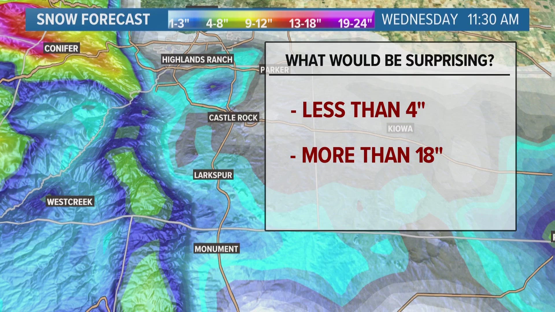
Denver will most likely end up with more rain than snow, while the foothills above 6,500 feet in elevation will probably have the opposite.
Denver may not get more than a slushy inch or two of snow, while areas above 7,000 feet in elevation could get over a foot of heavy, wet spring snow.
Because of the heavy and wet nature of any snow that falls (along with spring leaves starting to come out on trees), six inches or more of snow could be enough to inflict a fair bit of damage. Widespread power outages and lots of downed trees and branches will be likely in areas that get more than six inches of snow on Tuesday and Wednesday.
On the other hand, much of the Denver area could get an inch or more of precipitation on Tuesday night and Wednesday morning. If Denver gets three-quarters of an inch of precipitation from this storm, which appeared likely as of Monday night, that'd be more than the previous two months' precipitation combined.
With moderate-to-extreme drought conditions in place across most of eastern Colorado thanks to a bone-dry spring-to-date, a widespread 1-2 inches of rain would seriously help ease drought concerns.
The moisture itself is good news. The heavy, wet nature of any snow has the potential to be highly destructive. And with the rain-snow line likely hovering right over the heart of the Denver metro area, the gradient between storm "winners" and "losers" will be very tight.
Stay with 9NEWS for the latest on this significant spring storm.
SUGGESTED VIDEOS: Colorado Climate

