DENVER — Spring weather on the Front Range usually means the "Big One" is lurking, but so far, the storms this year have been very weak.
The storm Friday night was the biggest storm since February, and that only delivered 2 to 4 inches of snow to the Denver metro area, equaling about a quarter of an inch of water.
Denver International Airport, which is the city's official climate station, recorded only 2 inches of snow and 0.12 inches of precipitation, which is melted snow and rain together.
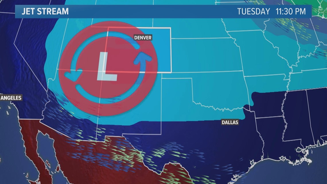
But it looks like the "Big One" is finally going to hit the Front Range on Tuesday. That's the spring storm that always seems to slam the area between March 1 and the end of May.
But how do you define the "Big One?" That can be a very subjective term.
Most people on the Front Range immediately think of huge snow accumulation, or maybe some might think it's a damaging storm. It could even be the size of the storm, covering several states at once, or it could just be as simple as the amount of total precipitation.
Well, in the case of Tuesday's storm, it could be all of the above.
For the Denver area, the impact will be total precipitation because it looks like it will be mostly rain. But a lot of it.


Computer model simulations have been showing close to 1 inch of total rain and melted snow. The temperatures will eventually get low enough to support snow accumulation, but that might not happen until Wednesday morning, after most of the precipitation has already fallen. With the ground so wet from the rain, it's not likely that much more than just a few inches actually stick to the ground.
But an inch of total precipitation for Denver is very unusual, so that alone could qualify the storm as the "big one."
For example, last season, Denver didn't get a single spring storm to deliver an inch or more of precipitation.
There was a good-sized March snowstorm that brought Denver 7.3 inches of snow with 0.62 inches of precipitation. Then after one of the driest Aprils on record, May was a very active month.
A rainstorm on the first day of May brought Denver 0.88 inches of rain with just a trace of snow. Then on May 20, a storm that most people would define as a big spring storm, brought Denver only 0.78 inches of precipitation with 2.3 inches of snow.
The last time a spring storm dropped more than an inch of precipitation on Denver was the monster blizzard in March 2021. That was nearly record-breaking, with close to 3 inches of precipitation (2.88 inches). Of course, that one came in the form of 27.1 inches of snow. It was the fourth biggest snowstorm in Denver's history.
While this week's storm still has some big snow potential for Denver, that is not the forecast. But you can really see how much 1 inch of total precipitation really is.
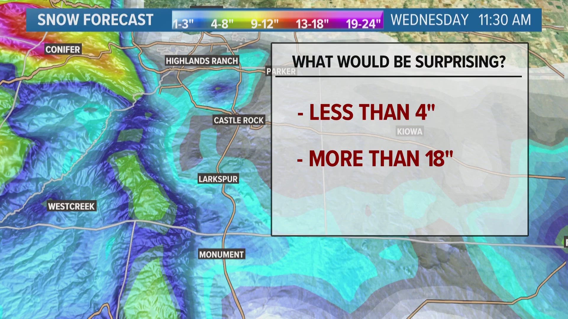
Snow could be used as a metric to define this as the "big one" in the foothills though, and maybe on the Palmer Divide, too. The threshold there would be 1 foot of snow.
While 1-foot snowstorms used to happen any time of year on a regular basis in the foothills, they have been far less frequent over the past 10 years. So a one-footer in April these days should be considered the big one there.
The official National Weather Service station for Evergreen, which is located near El Rancho off Interstate 70, has yet to record a 1-foot snowstorm this season. The closest was 11 inches on Dec. 29.
There is a good chance that parts of the foothills in Boulder, Jefferson and Douglas counties will get a foot or more of snow out of this one.
SUGGESTED VIDEOS: Colorado Weather
MORE WAYS TO GET 9NEWS
Subscribe to our daily 9NEWSLETTER
Download the 9NEWS APP
iTunes: http://on9news.tv/itunes
Google Play: http://on9news.tv/1lWnC5n
ADD THE 9NEWS+ APP TO YOUR STREAMING DEVICE
ROKU: add the channel from the ROKU store or by searching for KUSA.
For both Apple TV and Fire TV, search for "9news" to find the free app to add to your account. Another option for Fire TV is to have the app delivered directly to your Fire TV through Amazon.

