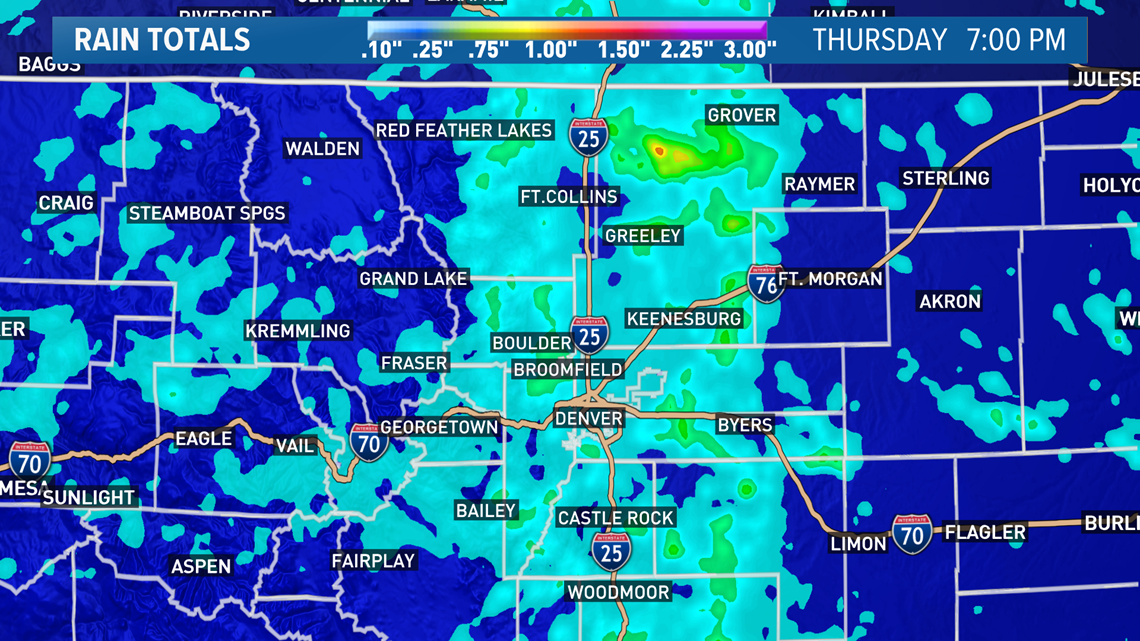
DENVER — As much as four inches of rain doused parts of eastern Colorado on Thursday, but yesterday's rain was extremely hit-or-miss in its nature.
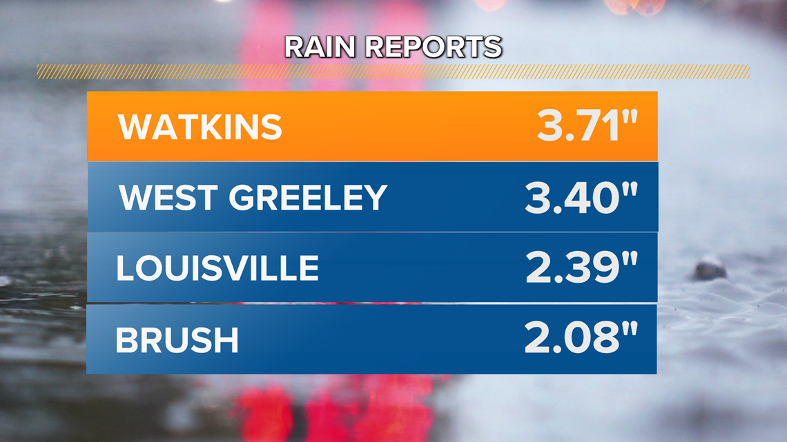
Some spots saw as much as 3.71" of rain yesterday, while others barely saw a drop. Thursday's rain was Florida-like, in the sense that it was extremely hyper-local and produced torrential downpours, but for a very small area.
For example, consider that one observation site about seven miles south of Watkins reported an astonishing 3.71" of rain yesterday. About 15 miles northwest of that site, Denver International Airport (and Denver officially) saw a mere 0.07" of rain from Thursday's storms.
Talk about hit or miss.
The rain was fueled by monsoonal moisture, which pumped in lots of water-filled air from the Gulf of Mexico and the Pacific Ocean.
But all that moisture primarily condensed into a handful of storms, meaning all the rain was heavily concentrated in those storms.


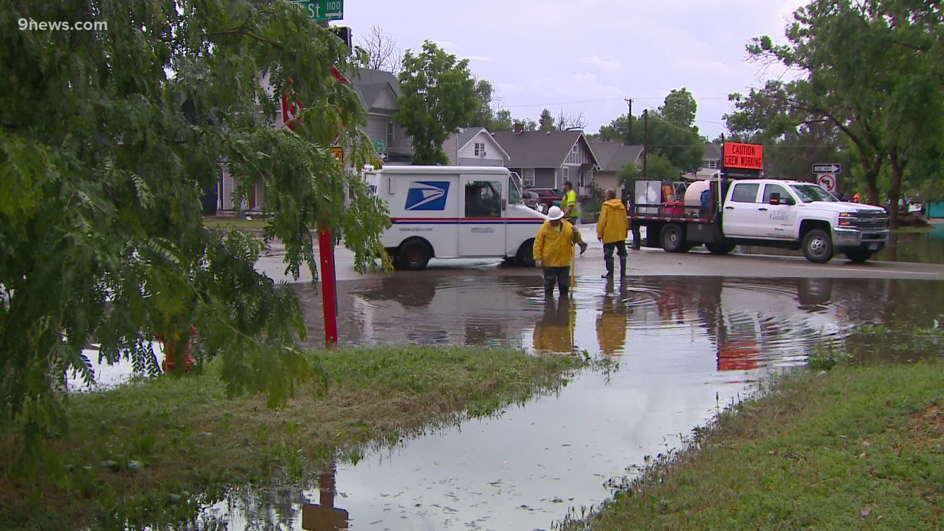
That's why places like Greeley, for example, saw so much rain, while others were mostly left out.
Greeley saw as much as 3.40" of rain on the west side of the city, yet a few miles to its northwest, Fort Collins saw nothing essentially from Thursday's storms.


The good news is that the intense, flooding rains that inundated parts of Colorado yesterday should hold off for the holiday weekend. While a few storms will be around through Monday, they'll be far more isolated in nature, and they'll also move more quickly.
That'll reduce the flood risk and keep most areas dry for this weekend's holiday festivities.

