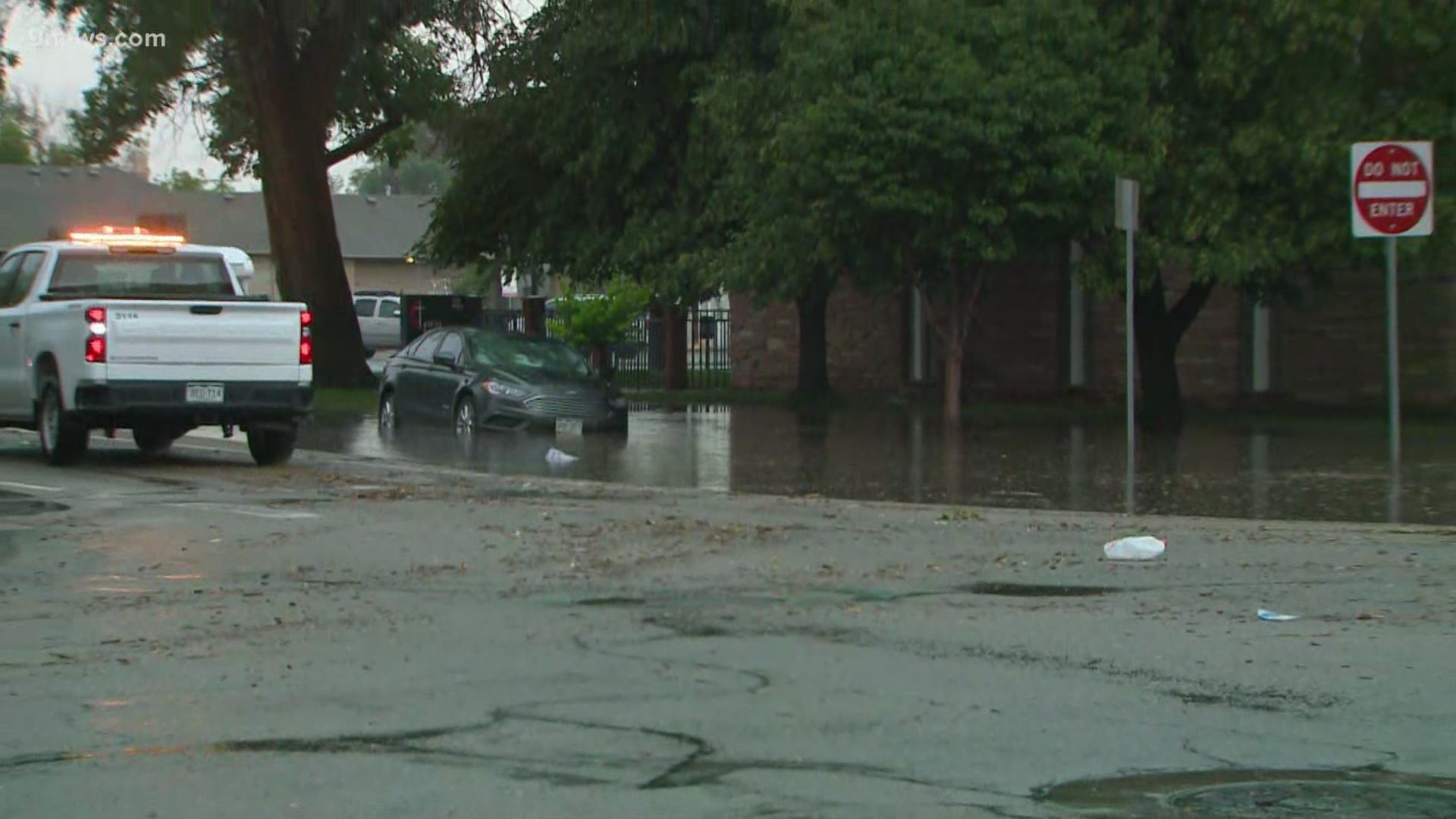
DENVER — As much as four inches of rain fell in Greeley on Thursday afternoon, leading to reports of flash flooding in the city.
A small and slow-moving storm dumped heavy rain on Greeley early on Thursday afternoon, prompting a Flash Flood Warning from the National Weather Service until 3:30 p.m. Thursday afternoon.
The National Weather Service (NWS) reported 4.40" of rain in Greeley in less than two hours. That's more than a quarter of the city's average annual precipitation.
That led to reports of flooding right in downtown Greeley. The Greeley Police Department (GPD) urged motorists to stay off the roads on Thursday.
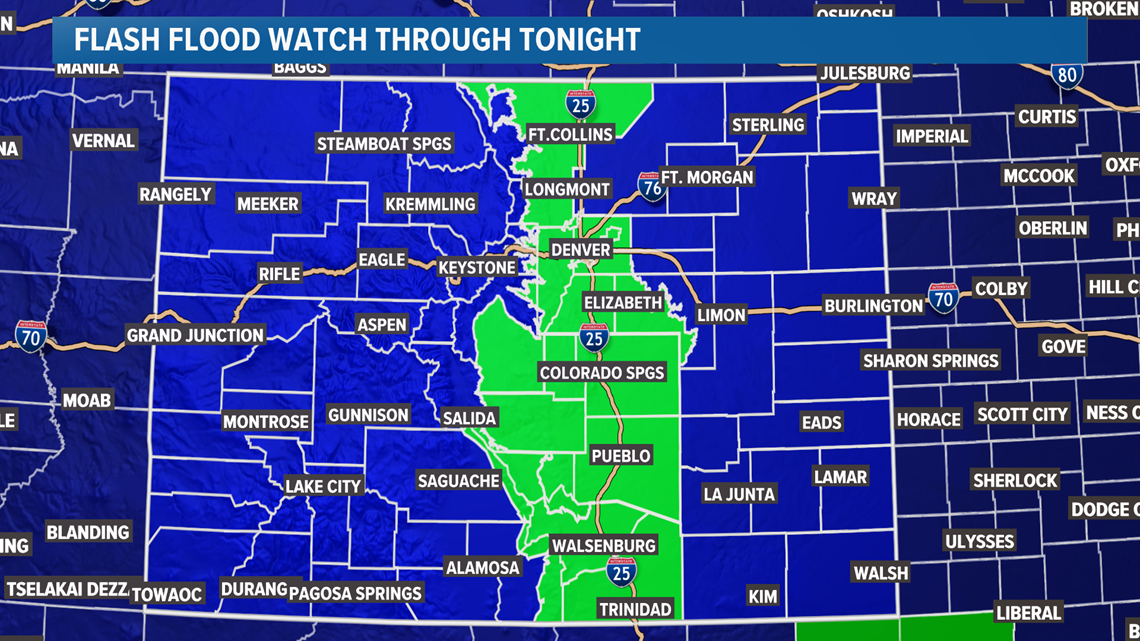
Meanwhile, a Flash Flood Watch is in effect for much of the Front Range for Thursday, including Denver, Colorado Springs and Fort Collins.
Slow-moving thunderstorms will develop early this afternoon and slowly trudge east, creating a higher than usual risk for flash flooding for much of the Front Range.
As usual, wildfire burn scar areas will have the highest flash flood risk today.
Overall setup
Heavy rain and storms will first develop after noon, likely around the Gore and Front Range Mountains (including Rocky Mountain National Park and several burn scars). Thanks to slow upper-level winds, however, any storms that develop will crawl. That'll boost the flash flood potential for the mountains in particular.
The severe weather risk is low, however. While cloud-to-ground lightning looks likely from these storms, there's a very low damaging wind or large hail threat from Thursday's activity.


Locations
The Cameron Peak, Calwood and East Troublesome fire scars appear to be the ones with the highest risk for seeing flash flooding on Thursday. Storms today will likely be concentrated over the higher terrain west of Denver making those fires particularly susceptible to flooding.
Wildfire scars are especially vulnerable to flooding because there's no vegetation to absorb moisture, often leading to flooding and mudslides.
As far as the Denver metro area, showers and storms moved through around rush hour on Thursday, leading to a Flash Flood Warning in Jefferson County. The storms were sub-severe and led to a lower flood risk than Greeley and the burn scar areas west of the city.
Any storm that moves through will carry a flood risk because of abundant low-level moisture and the slow-moving nature of today's storms.
Timing
Storms should gradually dissipate this evening, with southern Colorado holding onto the best chance for a shower or storm after dark.
Amounts
Most areas will probably see between 0.50" and 1.00" of rainfall, though some localized areas in the higher terrain could see over an inch of rainfall. The rain, however, will come down quickly, hence the heightened flood threat.
The good news is once Thursday's storms clear, the storm threat will decrease for both Friday and Saturday. Storms will also get a bit more forward motion to them by this weekend, decreasing the flood threat just in time for the holiday weekend.

