
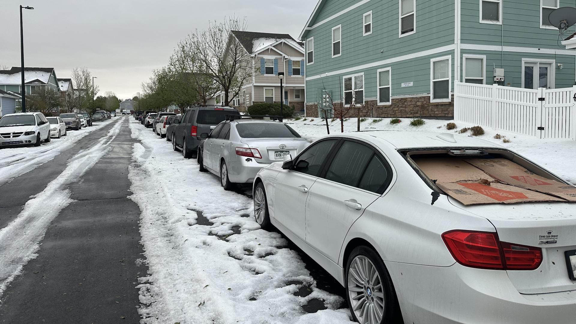
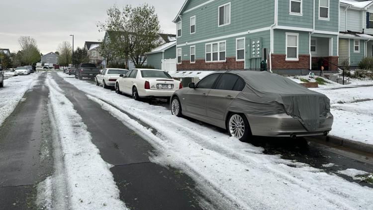
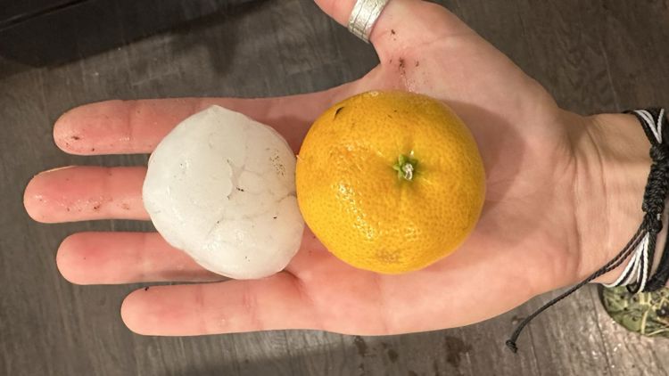
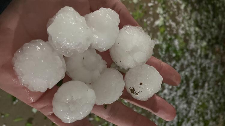
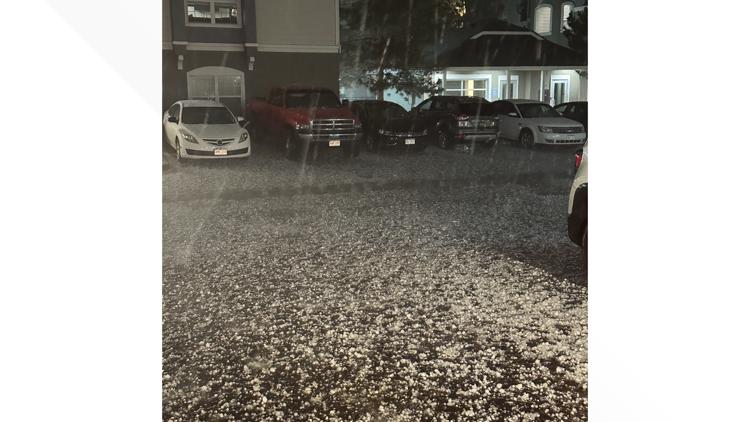
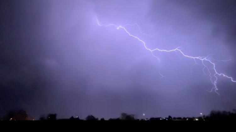
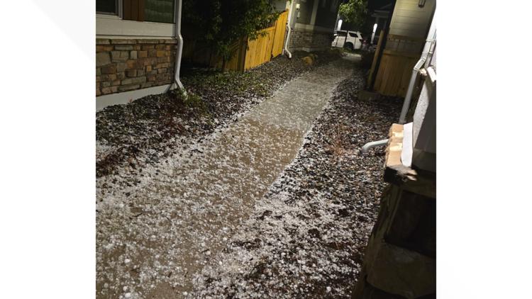
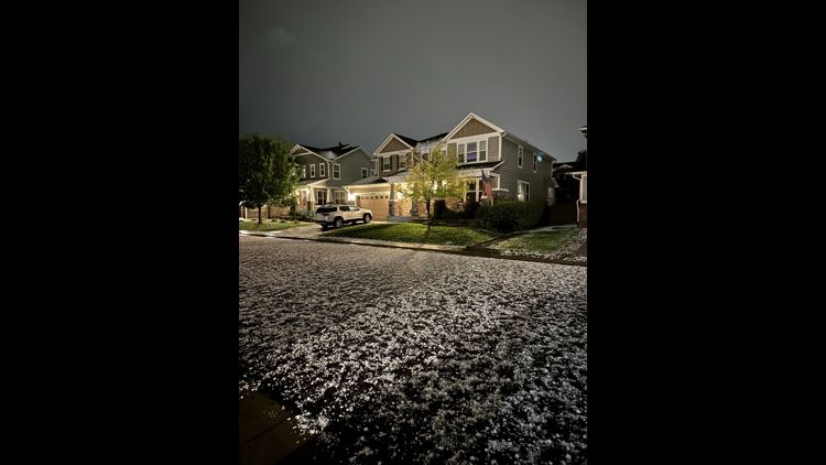
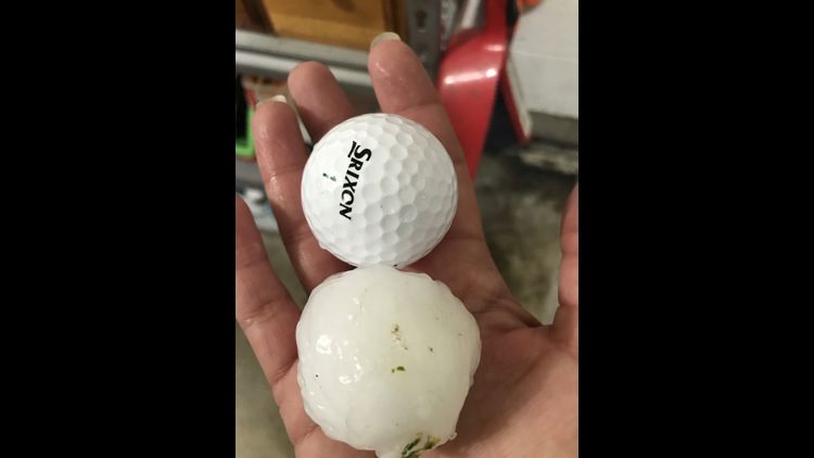
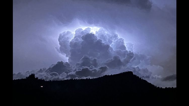
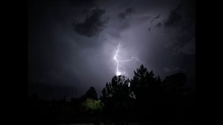
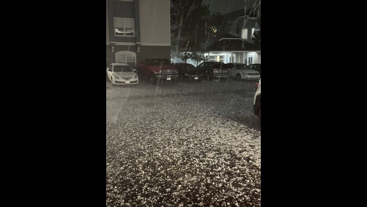
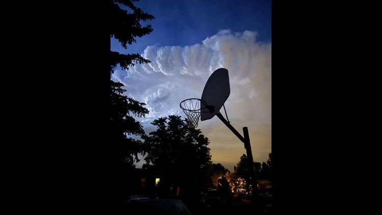
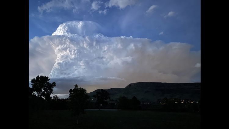
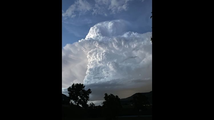
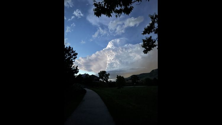
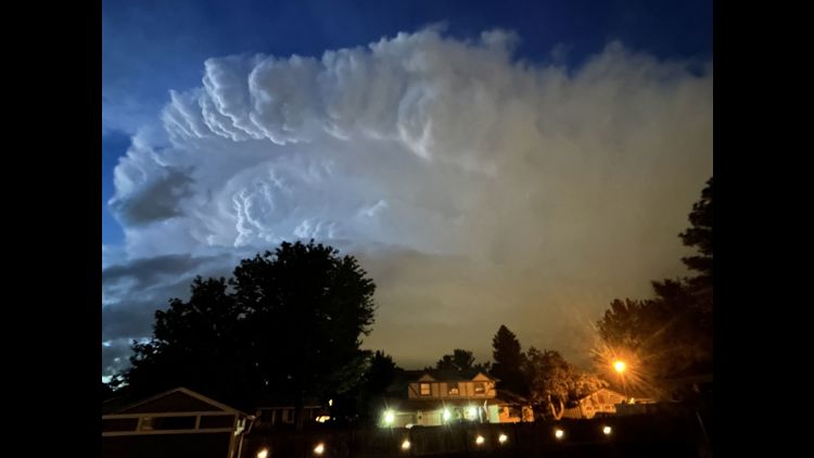
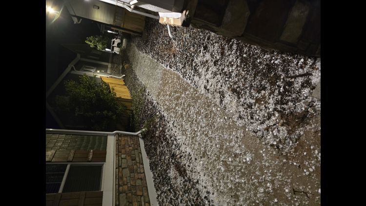
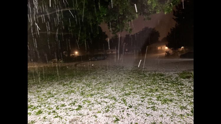
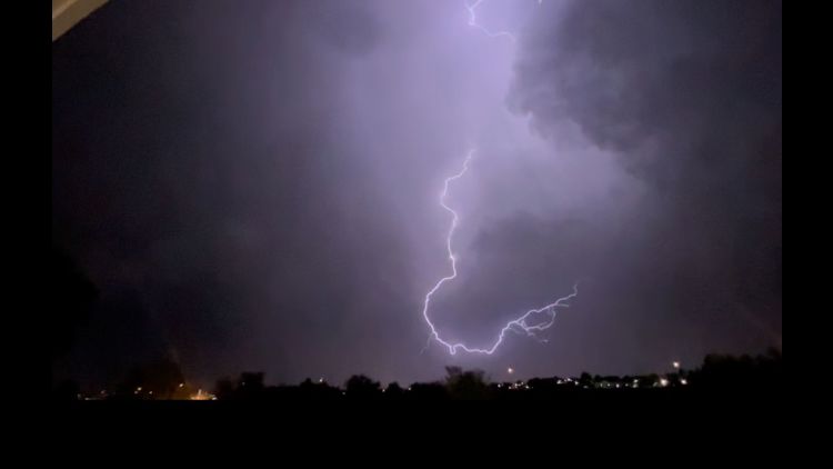
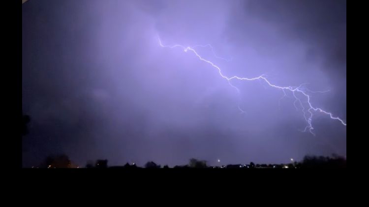
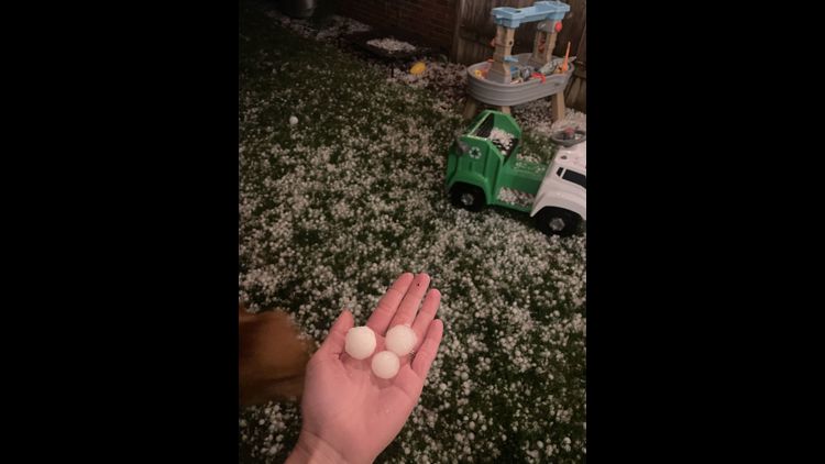
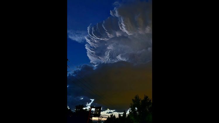
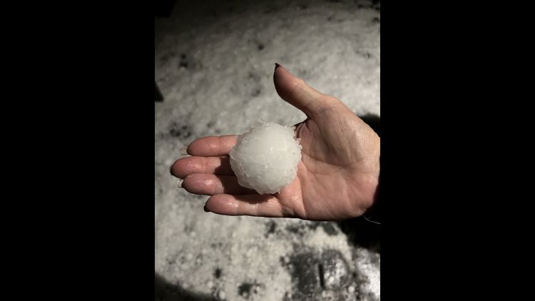
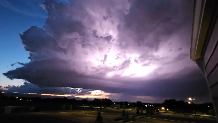
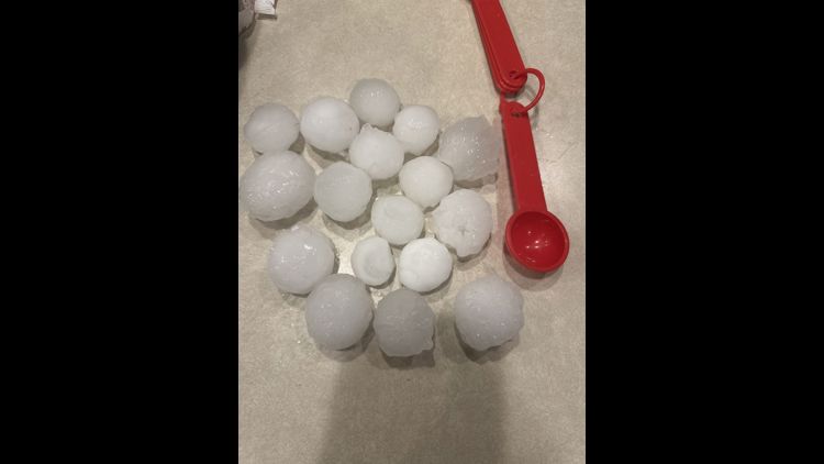
DENVER — Severe thunderstorms dropped baseball-sized hail on the Denver metro area late Thursday night.
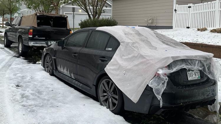
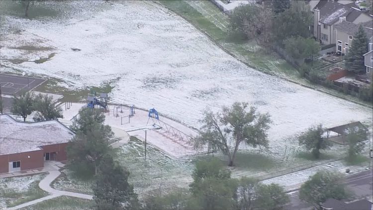
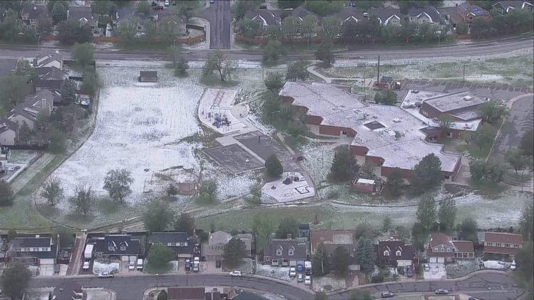
The destructive storms left a path of hail from Broomfield to Aurora before leaving the metro area just before midnight.
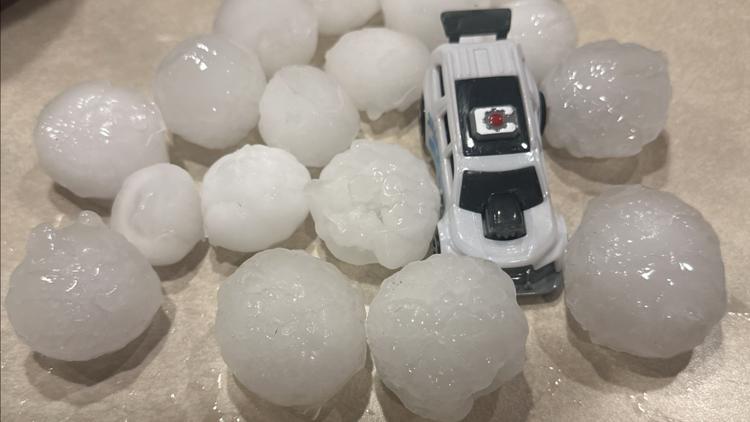
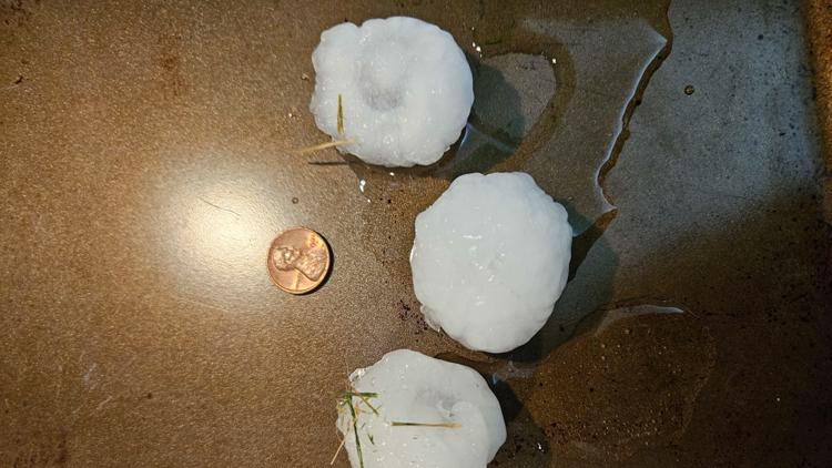
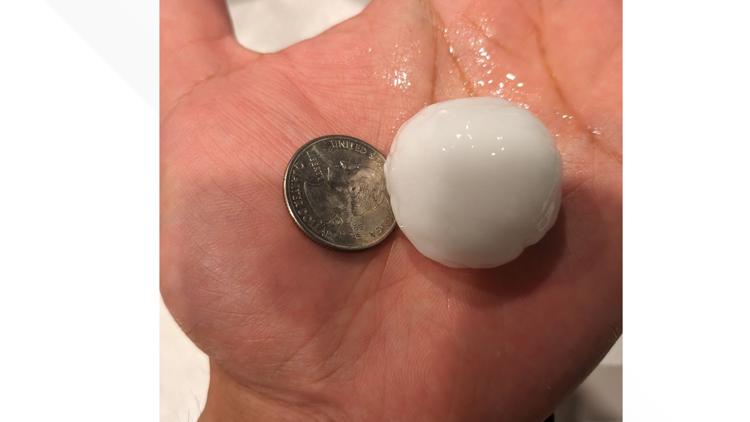
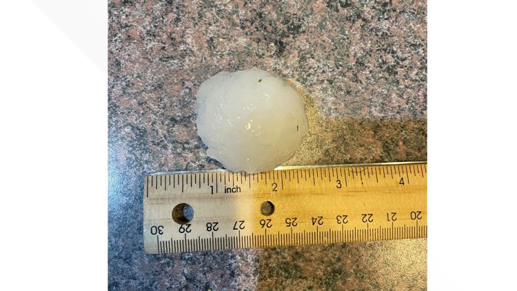
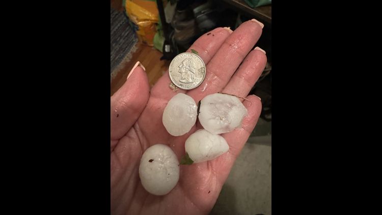
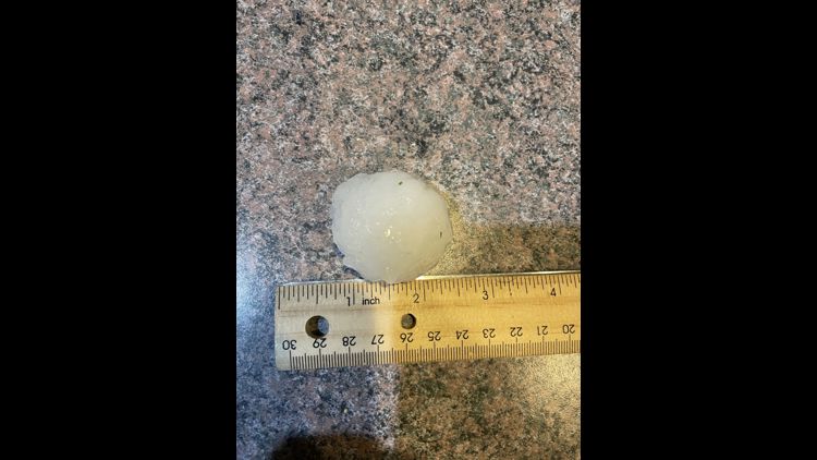
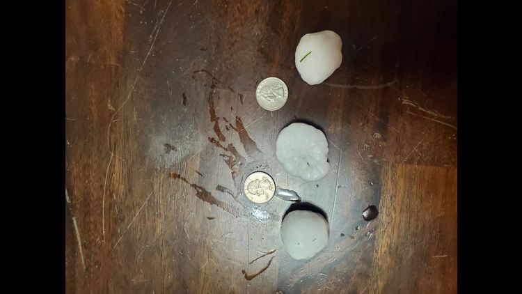
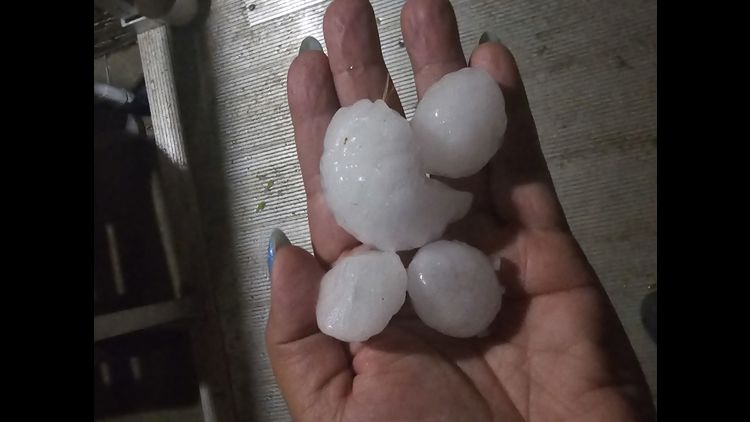
The largest hail report was a 2.75-inch hail stone in southeast Commerce City.
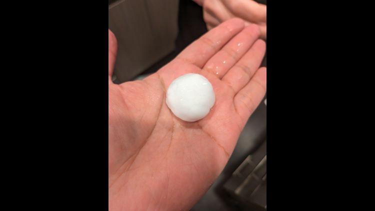
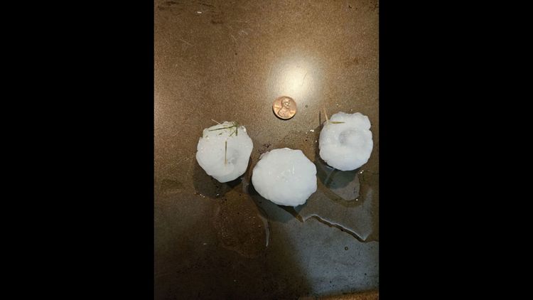
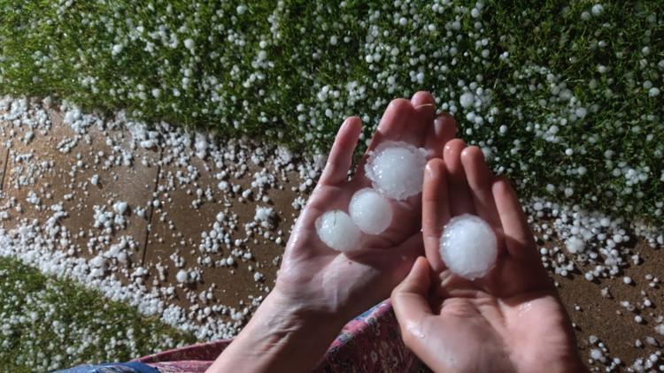
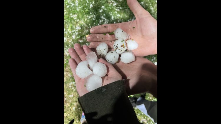
There were also several reports of egg-sized hail, or 2 inches, in Aurora, Broomfield and Henderson. A substantial number of hail reports noted hail larger than an inch, or quarter size, in Denver, Northglenn, Federal Heights, Thornton, Erie and Niwot.
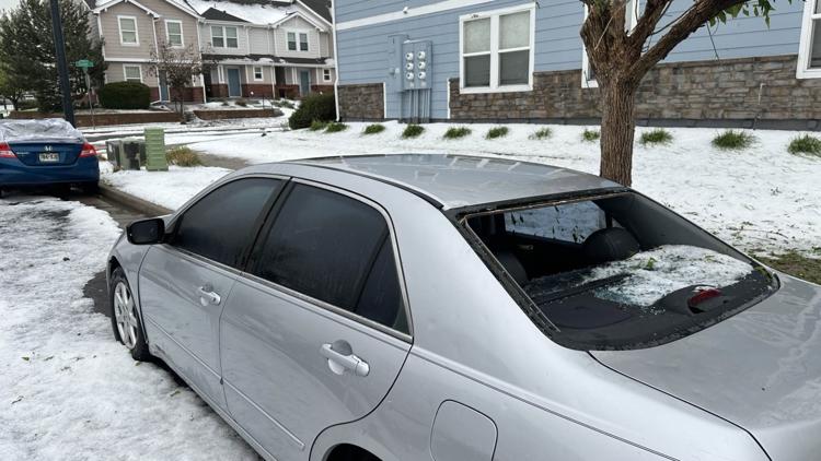
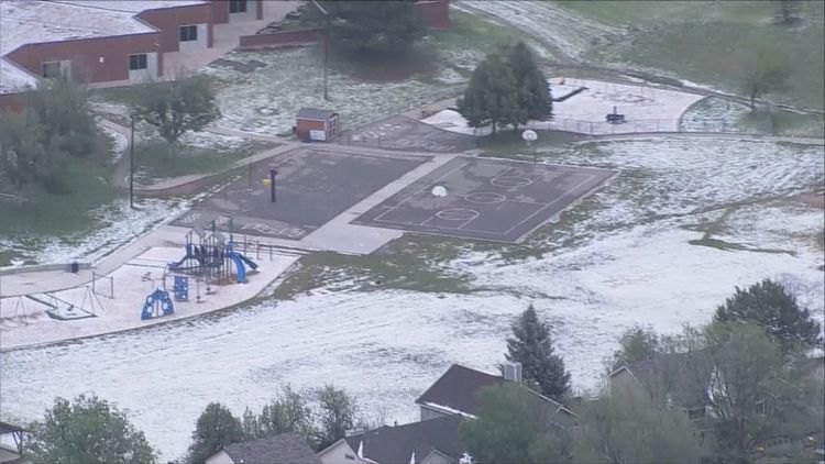
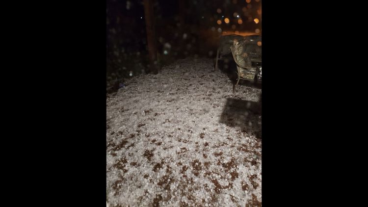
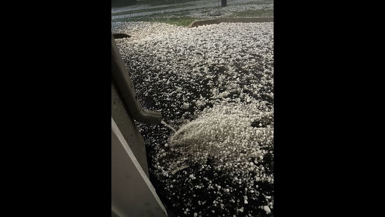
The hail caused significant damage in Thornton and Green Valley Ranch.
Denver metro hail reports
- 2.75 inches - Commerce City
- 2.25 inches - Broomfield
- 2 inches - Buckley Space Force Base
- 2 inches - Henderson
- 2 inches - Aurora
- 1.75 inches - Thornton
- 1.75 inches - Southeast Denver
- 1.5 inches - West Aurora
- 1.5 inches - Northglenn
- 1.5 inches - Erie
- 1.25 inches - Denver
- 1.2 inches - Cherry Creek Reservoir
- 1 inch - Federal Heights
- 1 inch - Westminster
- 1 inch - Niwot
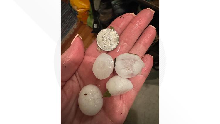
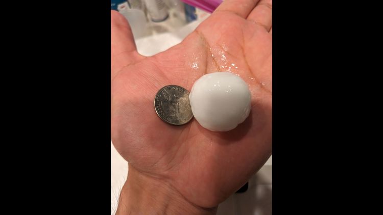
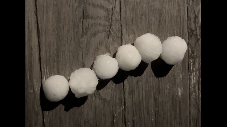
Hail size comparisons
- Softball: 4.5 inches
- Grapefruit: 4 inches
- Tea cup: 3 inches
- Baseball: 2.75 inches
- Tennis ball: 2.5 inches
- Hen egg: 2 inches
- Golf ball: 1.75 inches
- Pingpong ball: 1.5 inches
- Half dollar: 1.25 inches
- Quarter: 1 inch
- Nickel: 0.88 inches
- Dime/penny: 0.75 inches
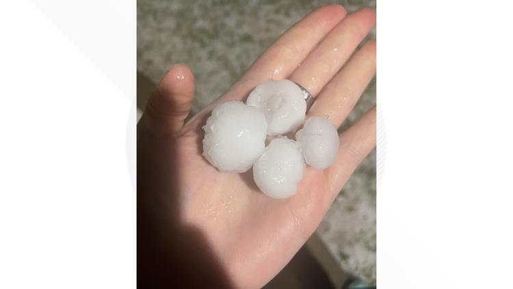
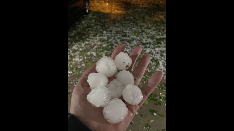
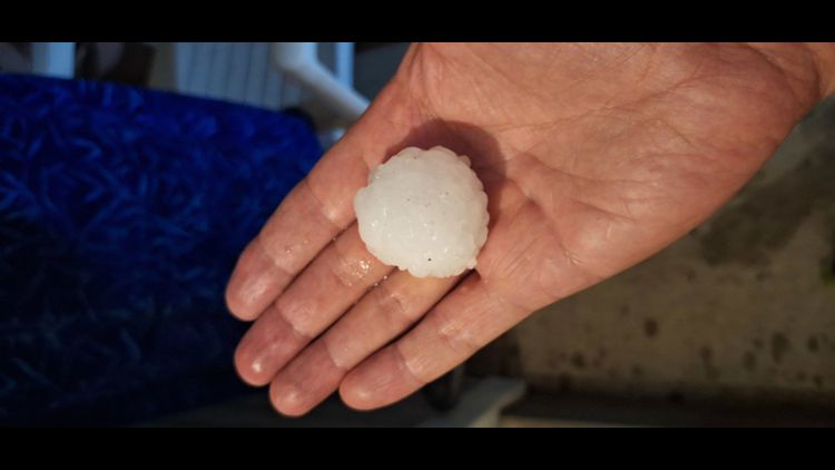
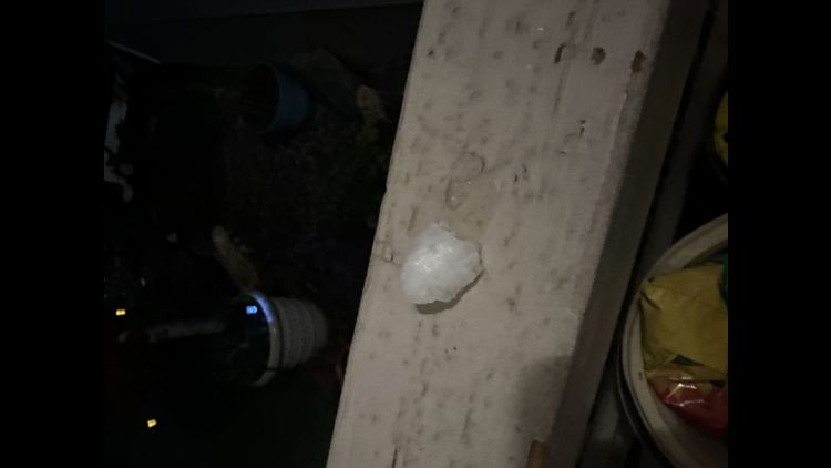
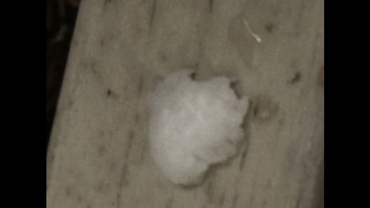
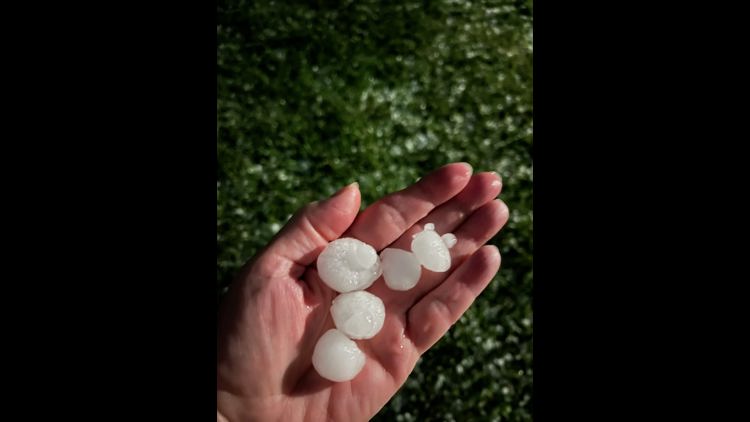
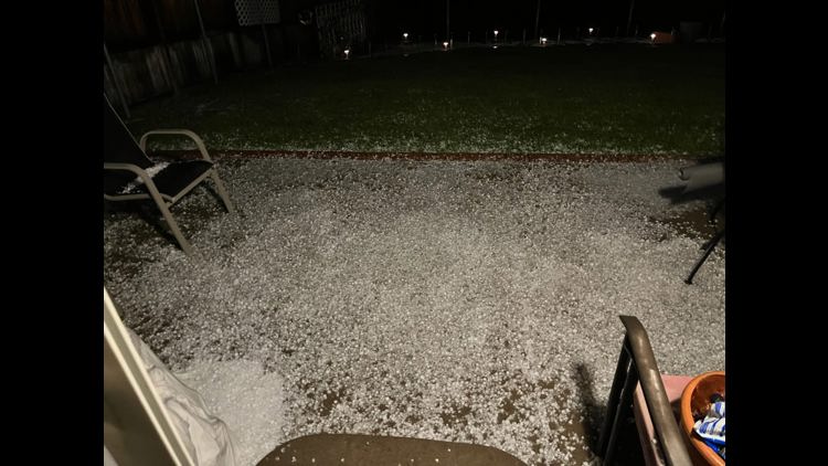
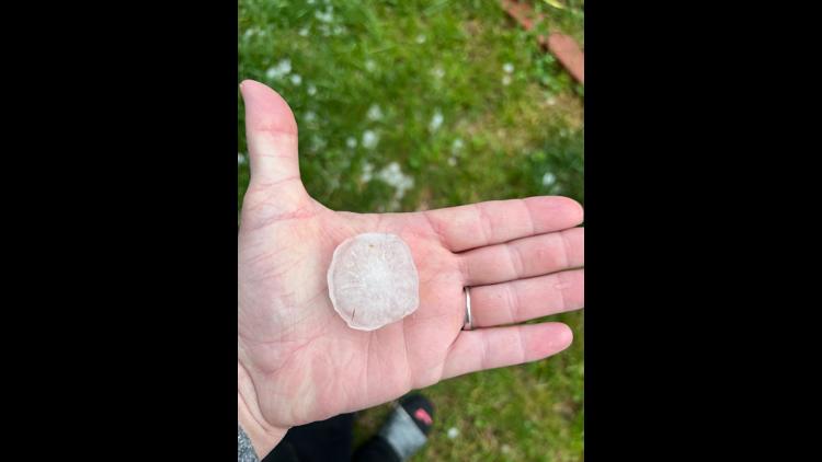
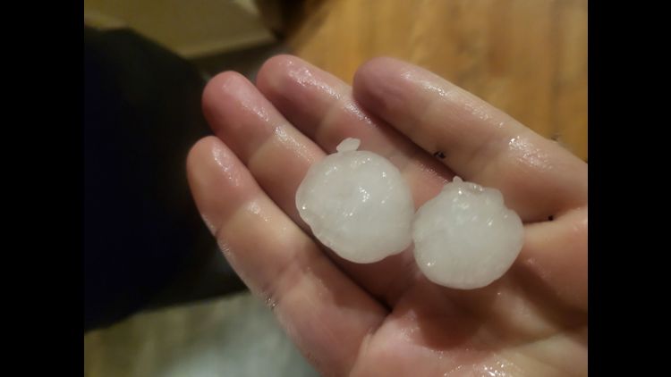
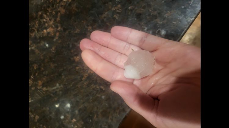
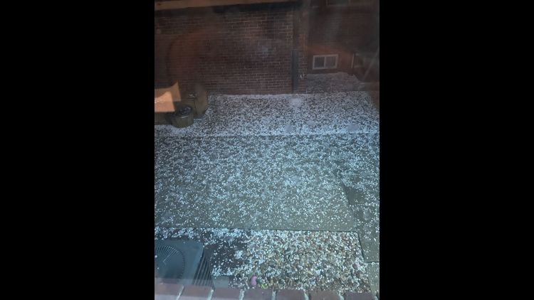
Viewers sent pictures of the large hail from Brighton, Denver, Northglenn, Thornton and more.
Hail hits Denver area


Share your photos
If you have a weather report, photo or video to share, you can contact the 9NEWS Weather Team in these ways:
- EMAIL: Weather photos, videos
- Share updates on our Facebook wall: facebook.com/9weather
- Tweet your updates using the hashtag #9WX or tweet us at twitter.com/9NEWSWeather
On Friday, we will start the day with some minor cloud clover and seasonal highs in the upper 70s. Around midday, another round of spotty storms moves back in, likely becoming strongest across the eastern Front Range and plains.
These areas will be under marginal and slight risks for severe weather again. People should continue to prepare for large hail, damaging winds and heavy downpours to leave the biggest impact.
On Saturday, early sunshine returns and afternoon temperatures continue to rise, with highs climbing into the middle 80s. That heat will ignite more storms across the eastern half of the state. Again, the strongest storms will likely fall across the eastern plains.
Download the 9NEWS app
iTunes: on9news.tv/itunes
Google Play: on9news.tv/1lWnC5n
SUGGESTED VIDEOS: Colorado Weather
MORE WAYS TO GET 9NEWS
Subscribe to our daily 9NEWSLETTER
Download the 9NEWS APP
iTunes: http://on9news.tv/itunes
Google Play: http://on9news.tv/1lWnC5n
ADD THE 9NEWS+ APP TO YOUR STREAMING DEVICE
ROKU: add the channel from the ROKU store or by searching for KUSA.
For both Apple TV and Fire TV, search for "9news" to find the free app to add to your account. Another option for Fire TV is to have the app delivered directly to your Fire TV through Amazon.