
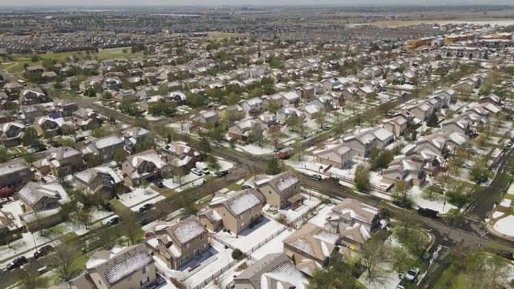
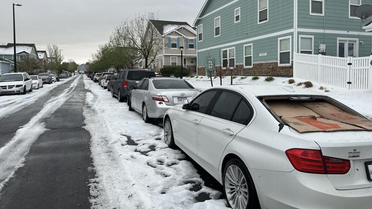
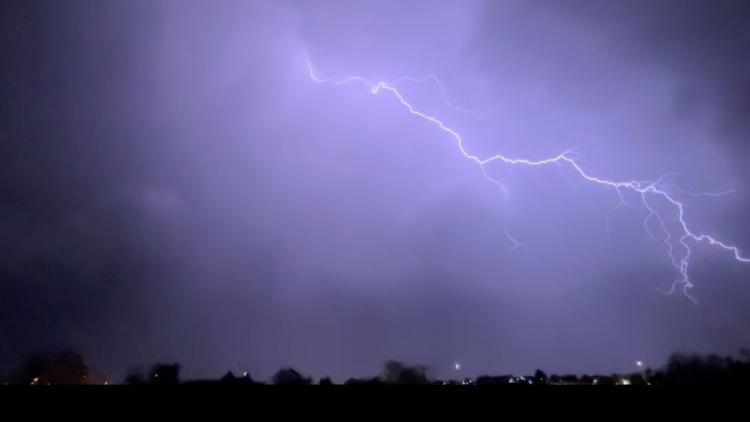
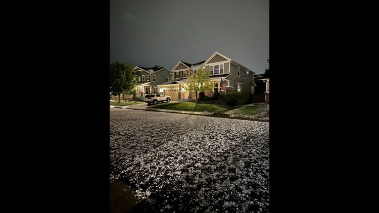
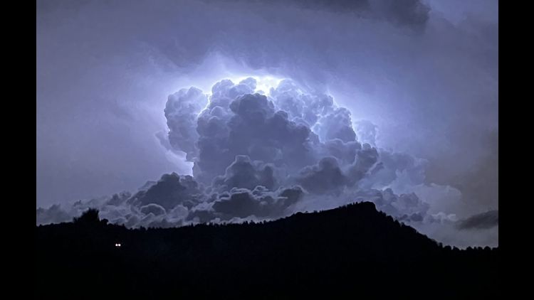
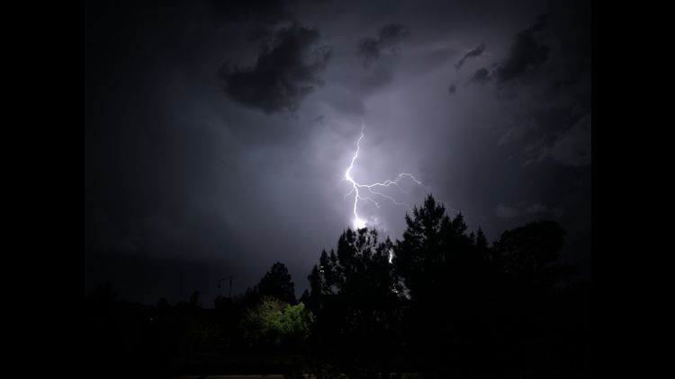
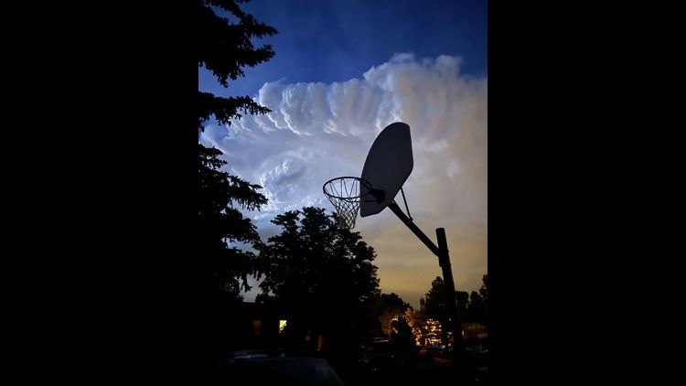
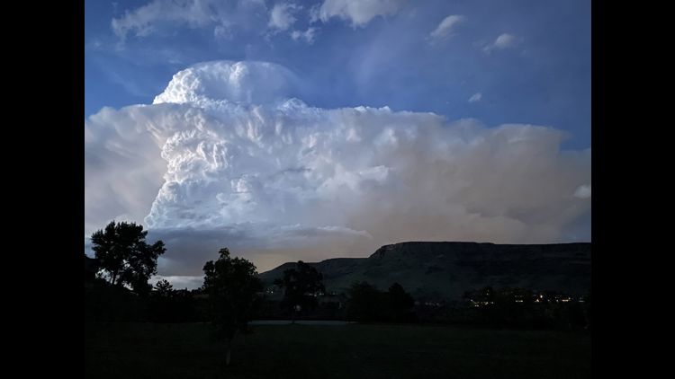
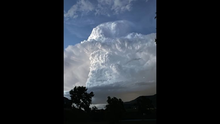
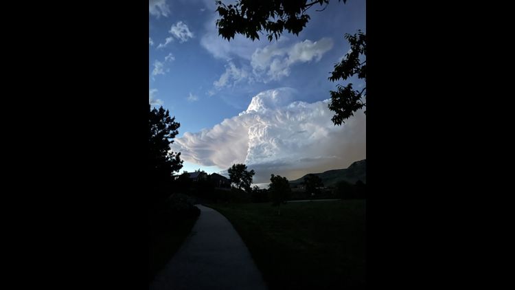
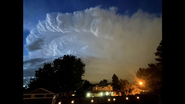
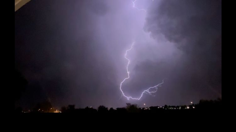
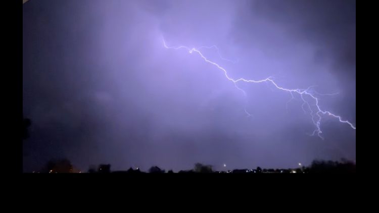
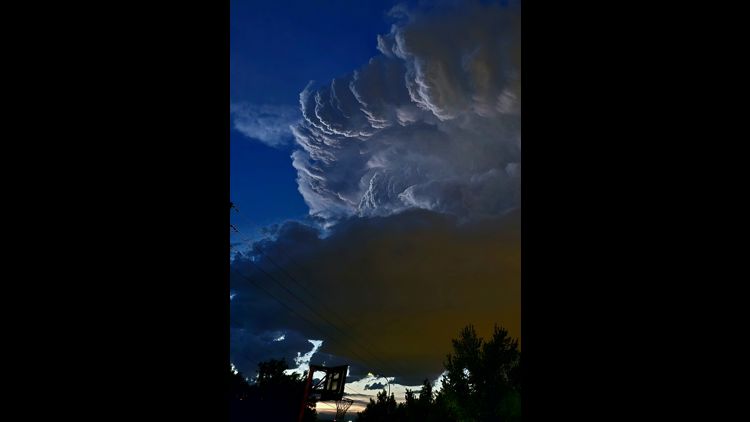
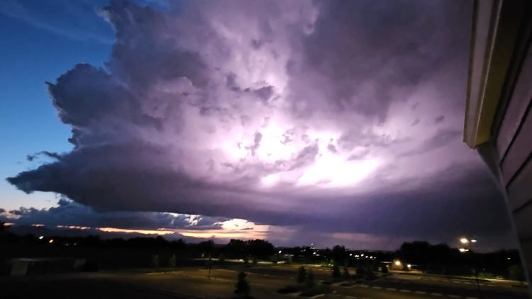
COLORADO, USA — Severe thunderstorms delivered destructive hail, heavy rain and lightning to much of the northern and eastern Denver metro area late Thursday night.
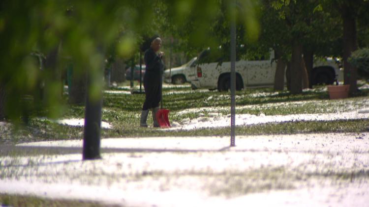
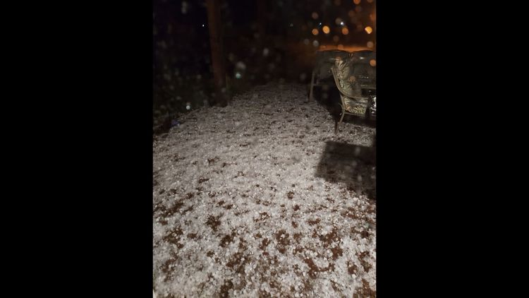
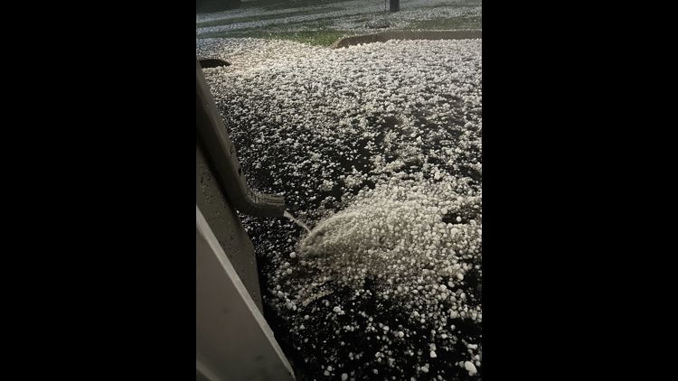
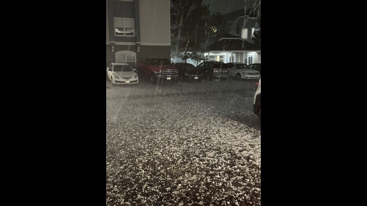
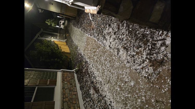
On Friday, residents in some areas spent much of the morning shoveling the previous night's mess.
“It sounded like somebody was playing the drums on the roof,” said Leabre McNeal, a homeowner in Denver's Green Valley Ranch neighborhood. “Then I looked outside, it was like an hour later, and it was still going.”
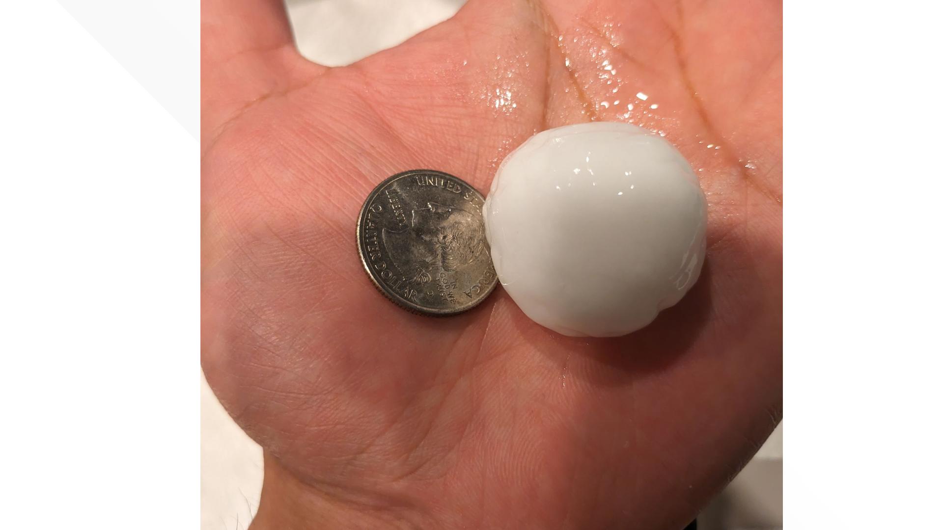
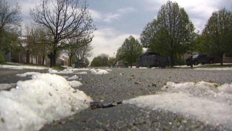
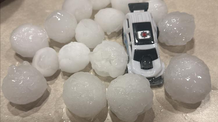
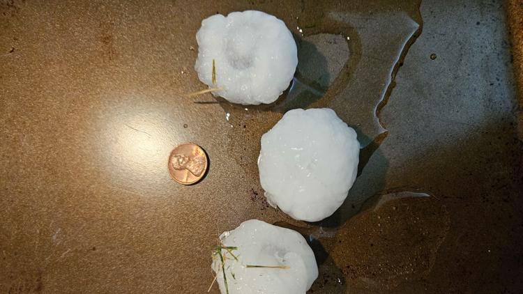
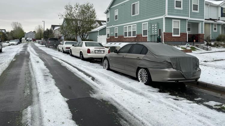
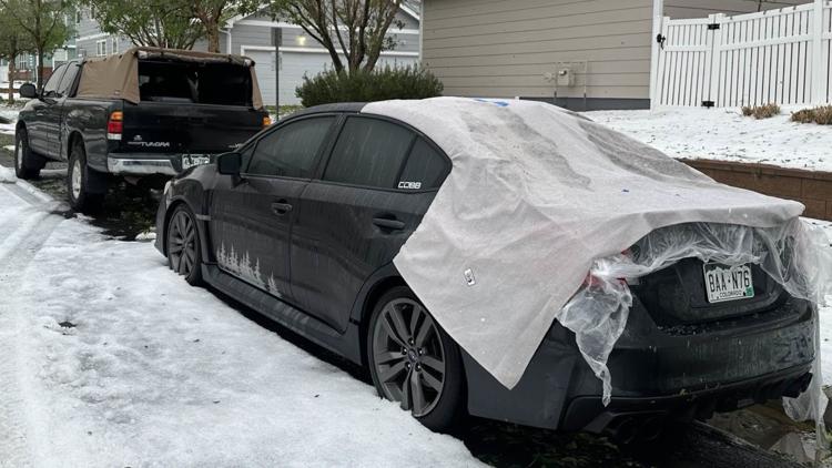
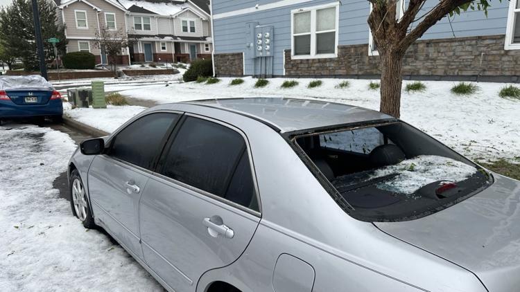
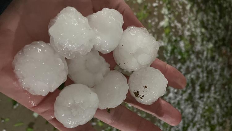
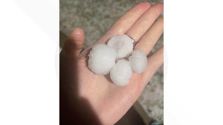
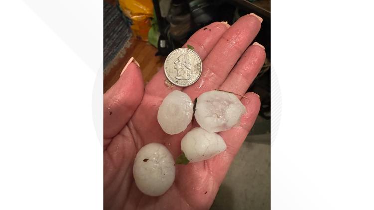
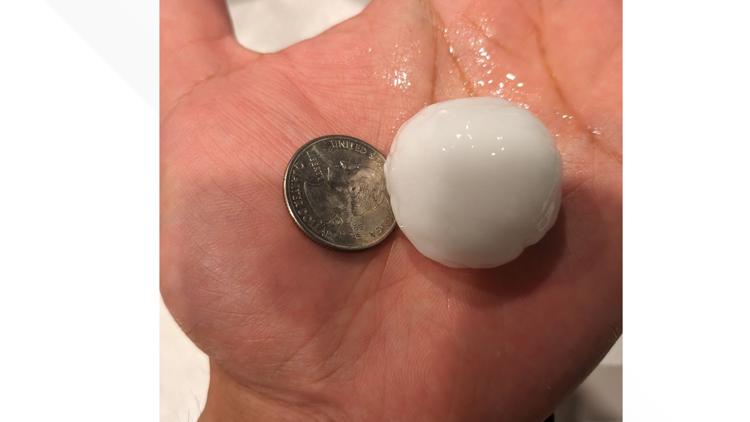
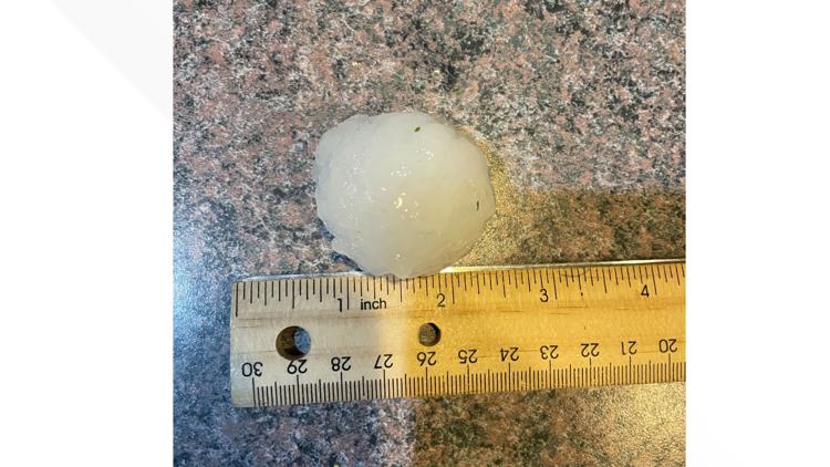
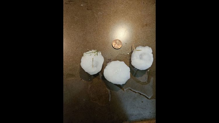
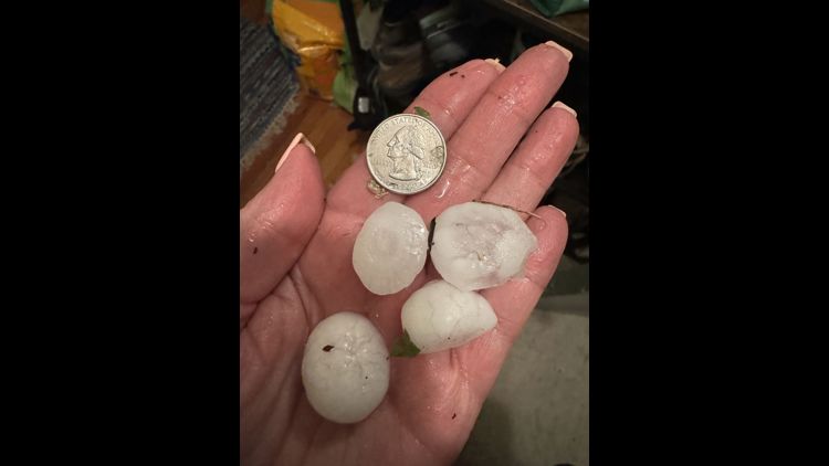
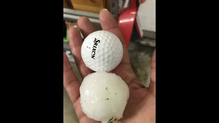
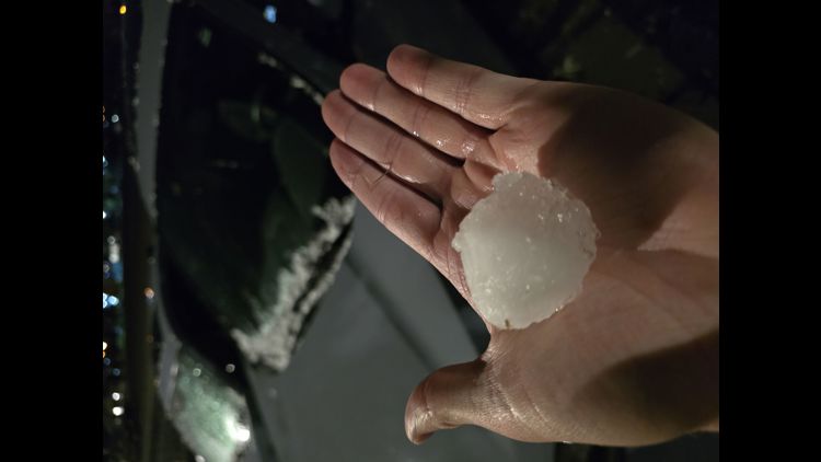
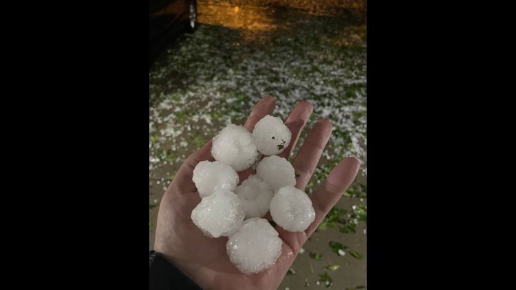
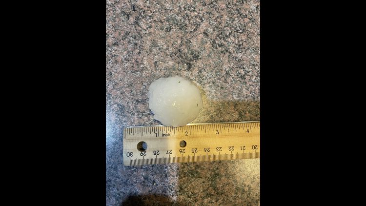
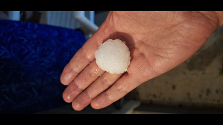
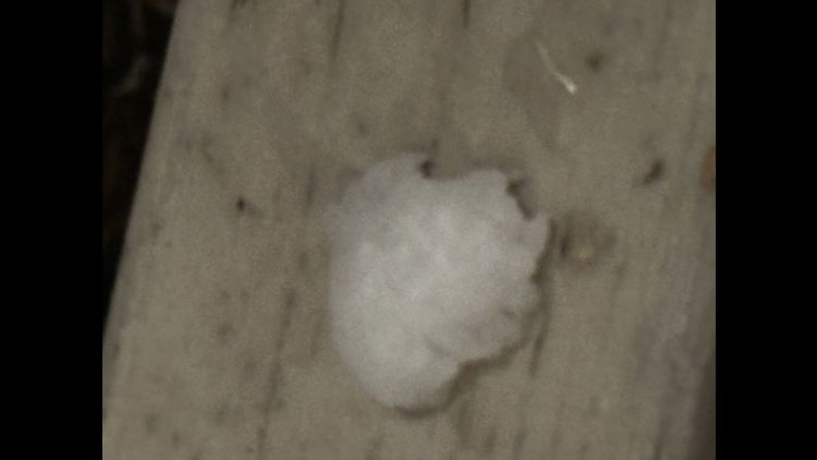
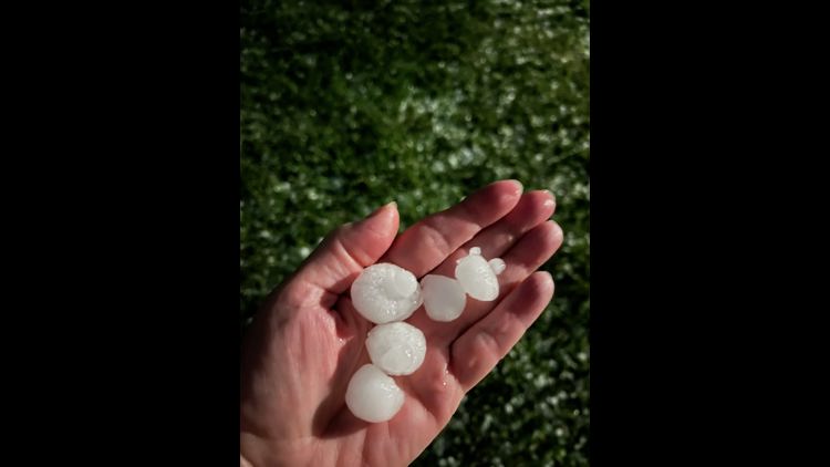
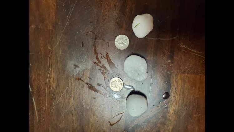
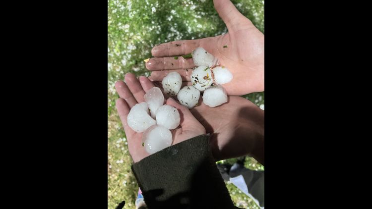
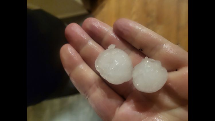
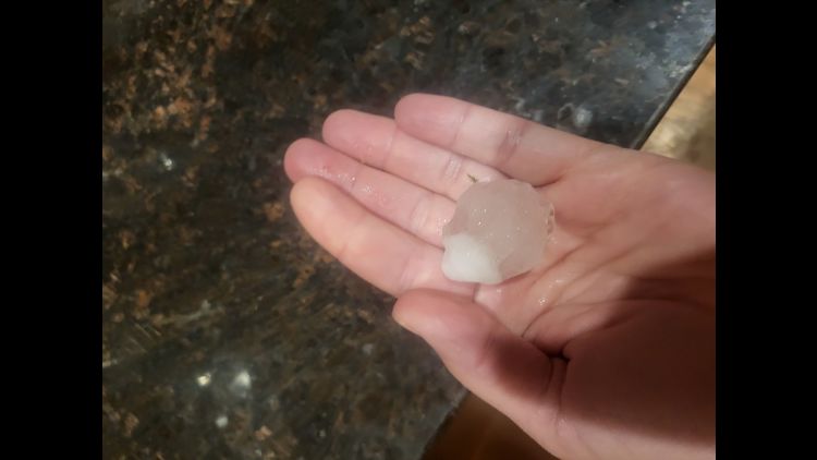
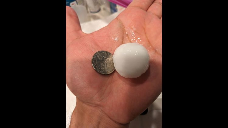
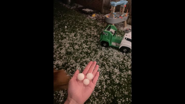
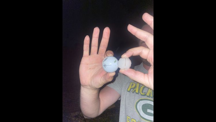
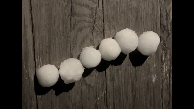
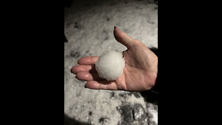
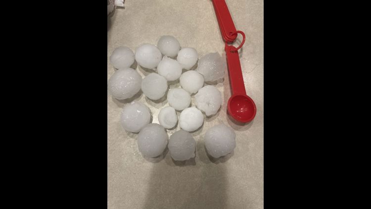
The storms first developed north and northeast of Denver, dropping heavy hail in Erie and Broomfield. They continued moving across eastern Denver and into Aurora, mostly clearing out just before midnight. According to the National Weather Service, the storms produced hail up to baseball size. The largest hail report was a 2.75-inch hail stone in southeast Commerce City.
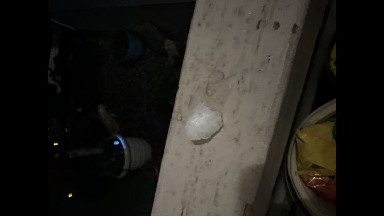
There were also several reports of egg-sized hail, or 2 inches, in Aurora, Broomfield and Henderson. A substantial number of hail reports noted hail larger than an inch, or quarter size, in Denver, Northglenn, Federal Heights, Thornton, Erie and Niwot.
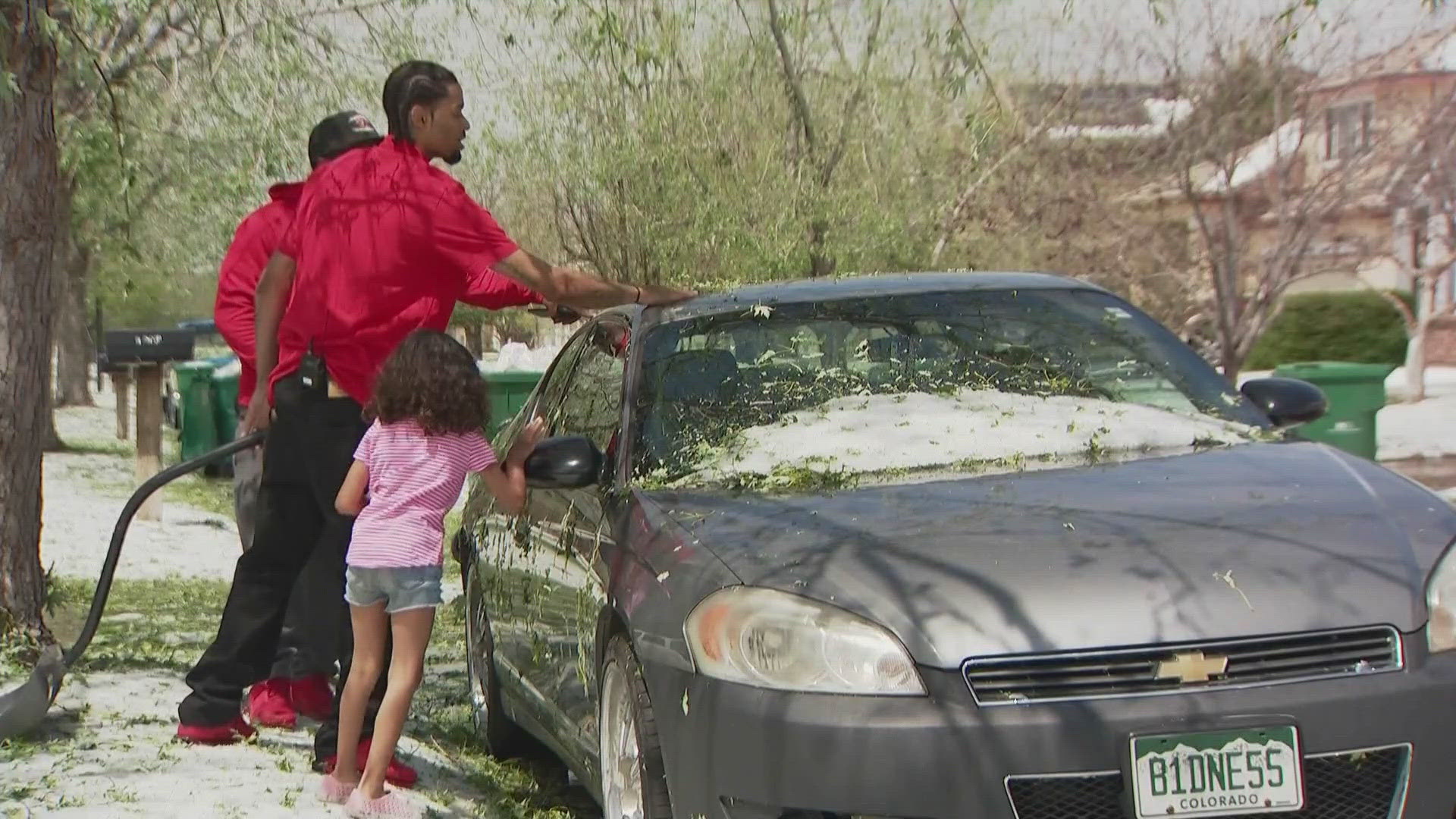
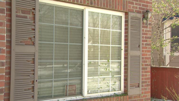
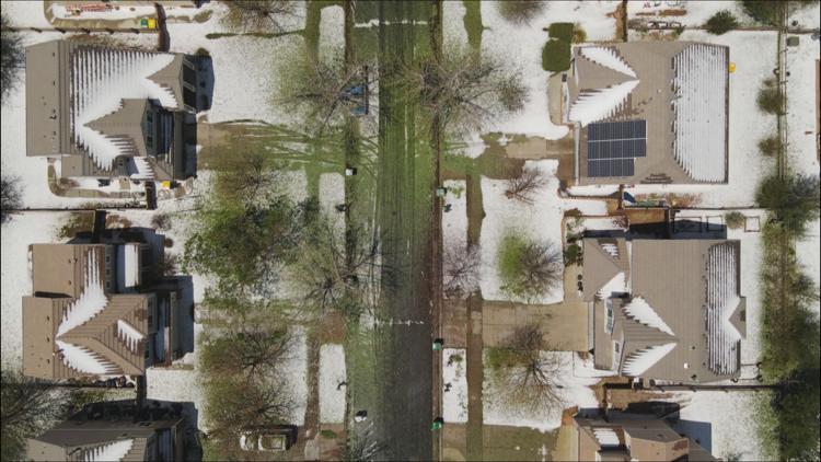
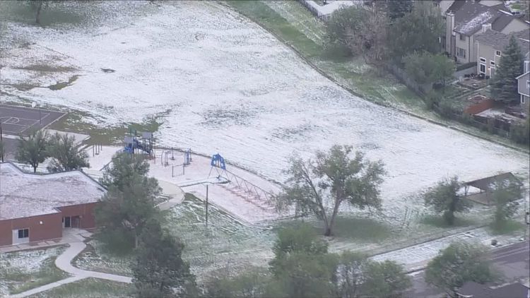
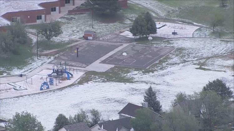
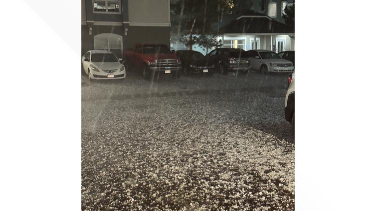
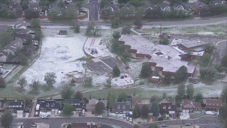
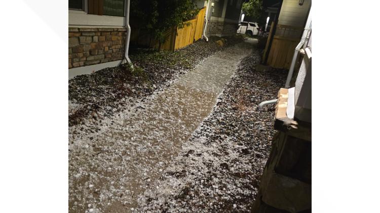
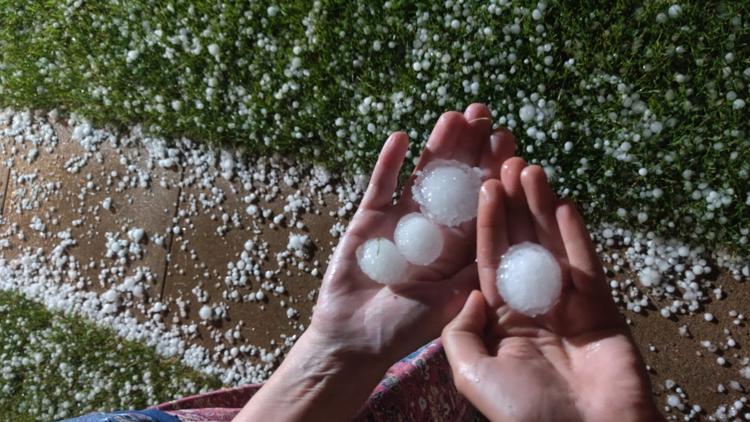
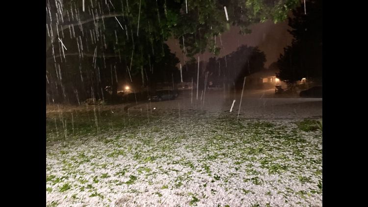
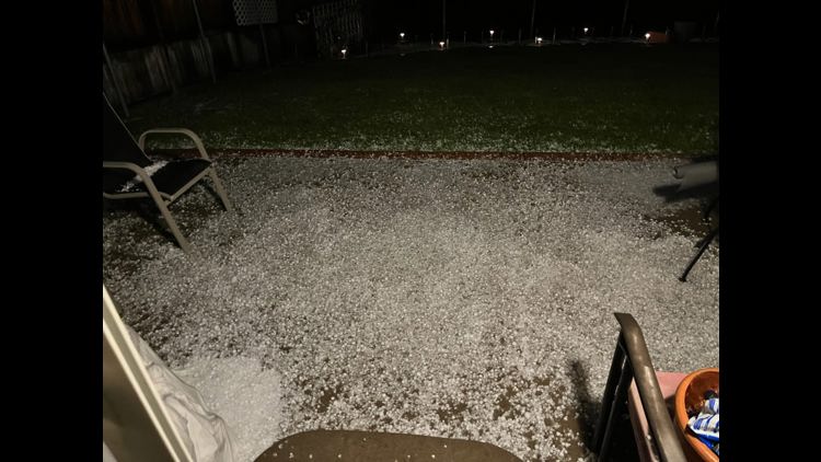
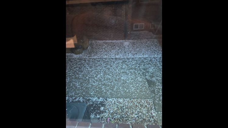
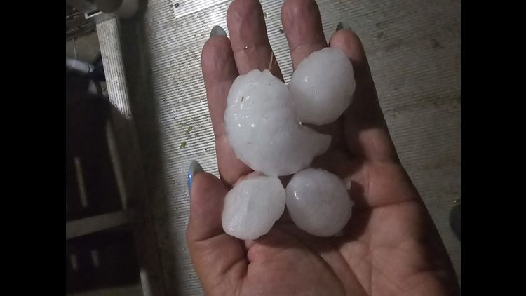
The hail caused significant damage in Thornton and Green Valley Ranch.
Many Green Valley Ranch residents said the storm pounded the neighborhood for at least a half-hour. The hail damaged car hoods, windshields and the siding of some homes.
“It beat the crap out of my house,” said homeowner Karen Henry Edwards. “My house was shaking. I thought the windows were going to break because it was so loud and pounding and [it sounded] just like somebody was throwing snowballs at your house for like 30-45 minutes.”
> Video below: How big was the hail that fell in Colorado during Thursday's storm?
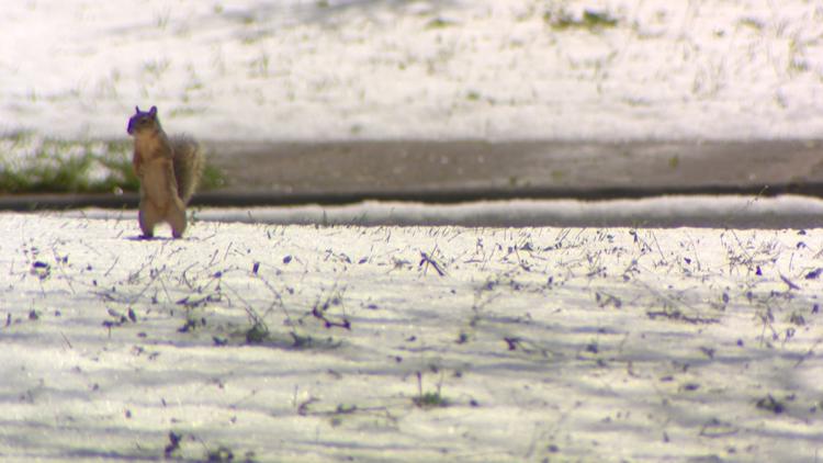
The intensity of the storm also pulled off most of the leaves on trees in the neighborhood. Neighbors could be seen shoveling and raking into the afternoon. Some said they’ll take a hailstorm over the alternative.
“Typically wildfire starts happening right now, right?” Racquise McClain said. “The hail said: not today.”
Many of the residents said they’ve already notified their insurance companies to start claims for the damage. While this is all a headache they’re thankful they’re OK.
“That’s a blessing,” McNeal said.
“Right,” McClain said.
Damage to Green Valley Ranch from the May 2024 hailstorm


Hail hits Denver area


Friday, we will start the day with some minor cloud clover and seasonal highs in the upper 70s. Midday, another round of spotty storms moves back in, likely becoming strongest across the eastern front range and plains.
These areas will be under marginal and slight risks for severe weather again. People should continue to prepare for large hail, damaging winds and heavy downpours to leave the biggest impact.
Saturday, early sunshine returns and afternoon temperatures continue to rise, with highs climbing into the middle 80s. That heat will ignite more storms across the eastern half of the state. Again, the strongest storms will likely fall across the eastern plains.
If you have a weather report, photo or video to share, you can contact the 9NEWS Weather Team in these ways:
EMAIL: Weather photos, videos
Share updates on our Facebook wall: facebook.com/9weather
Tweet your updates using the hashtag #9WX or tweet us at twitter.com/9NEWSWeather
Download the 9NEWS app:
iTunes: on9news.tv/itunes
Google Play: on9news.tv/1lWnC5n
SUGGESTED VIDEOS: Colorado Weather