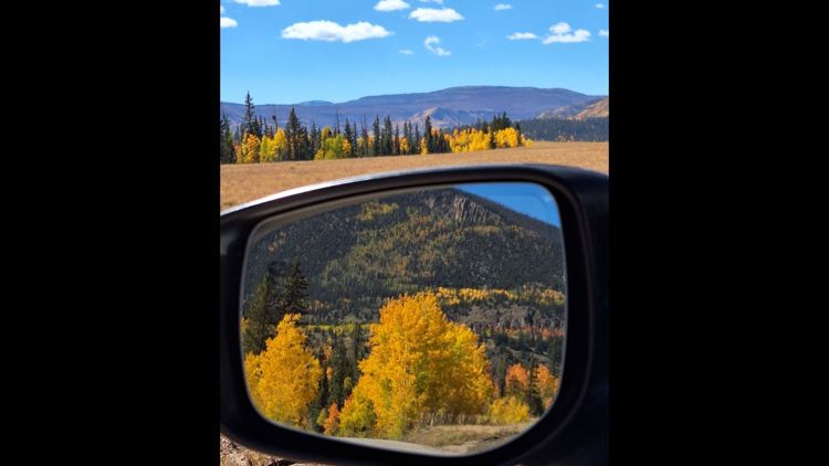
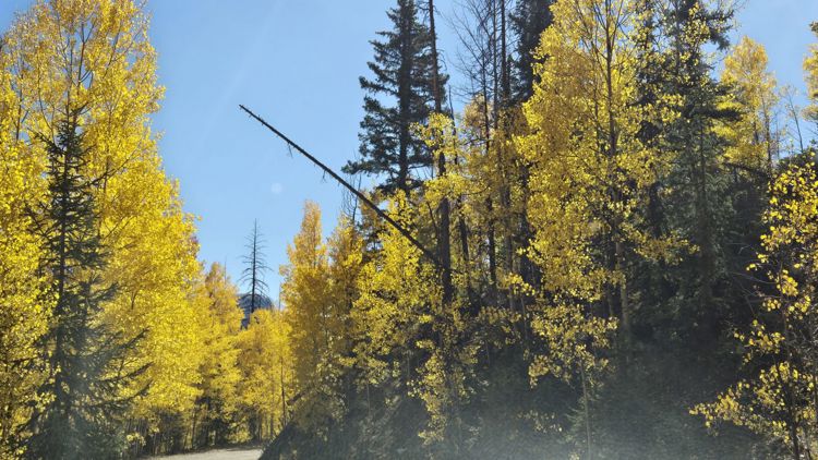
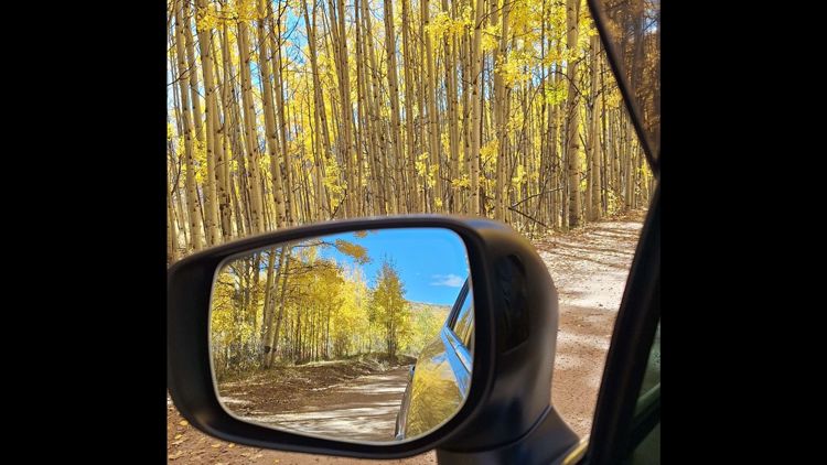
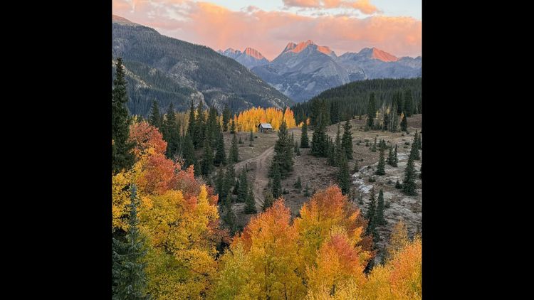
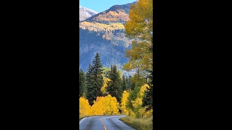
COLORADO, USA — If you like to wear sweaters, sip pumpkin spice lattes and talk about how “Hocus Pocus” is basically the “Citizen Kane” of the 1990s, then fall is the season for you.
And since we’ve already introduced you to some fall drives, why not take the next logical step and actually take steps?
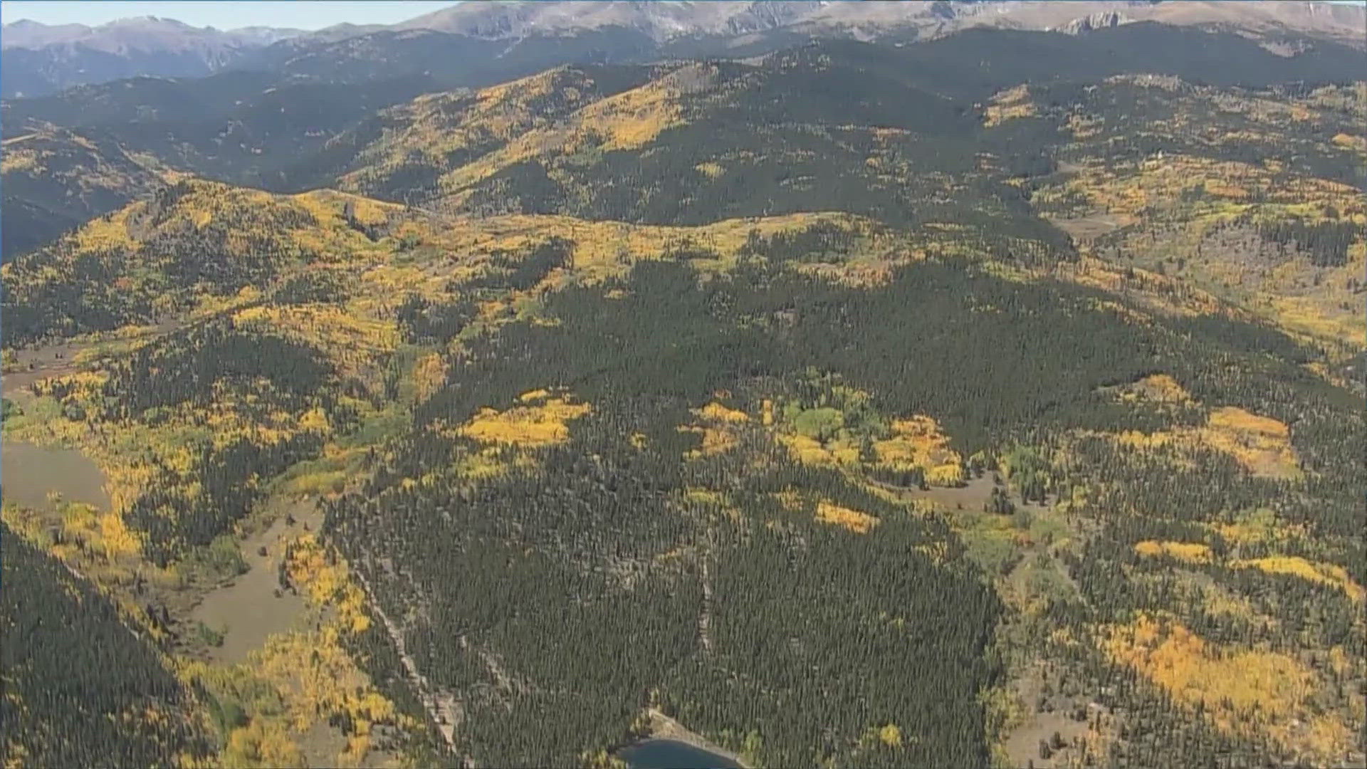
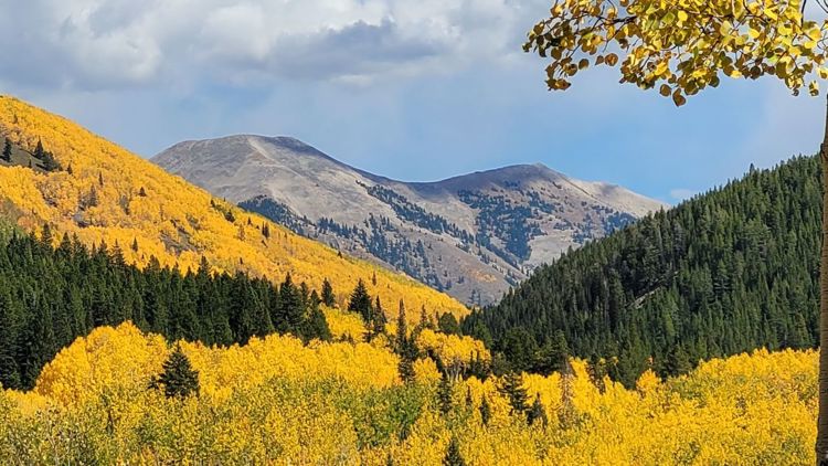
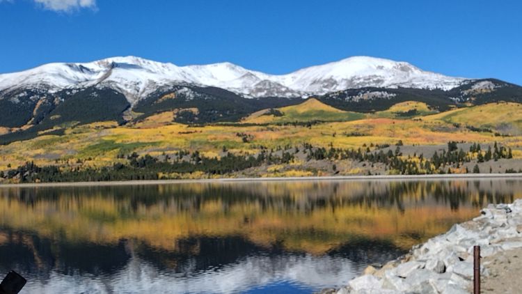
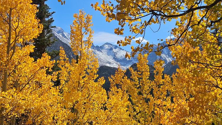
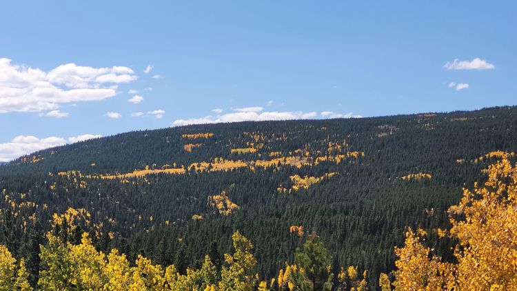
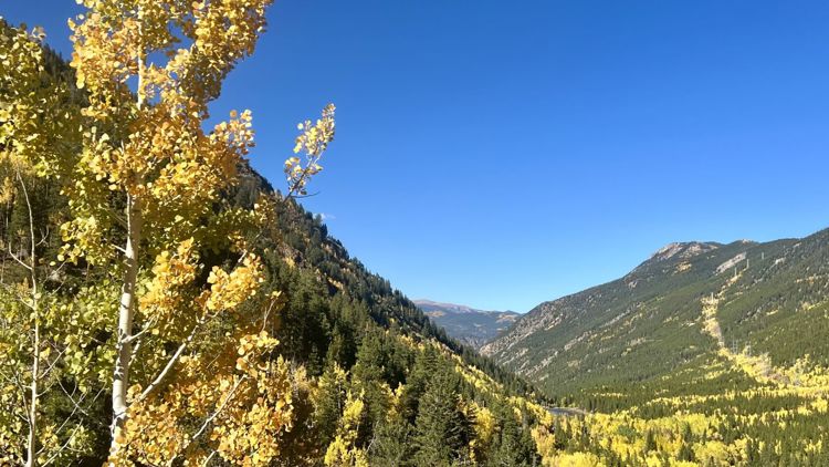
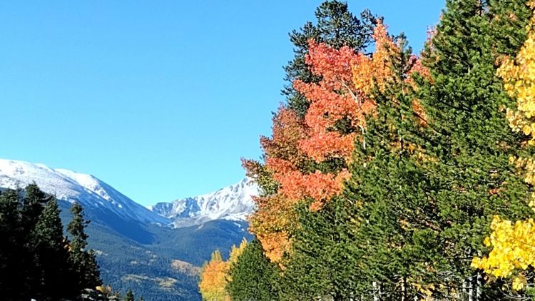
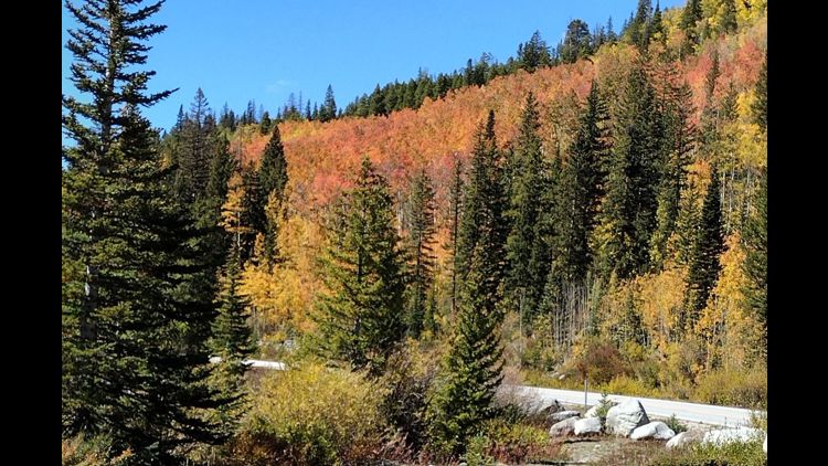
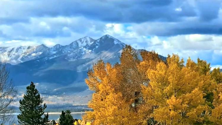
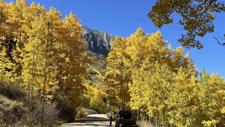
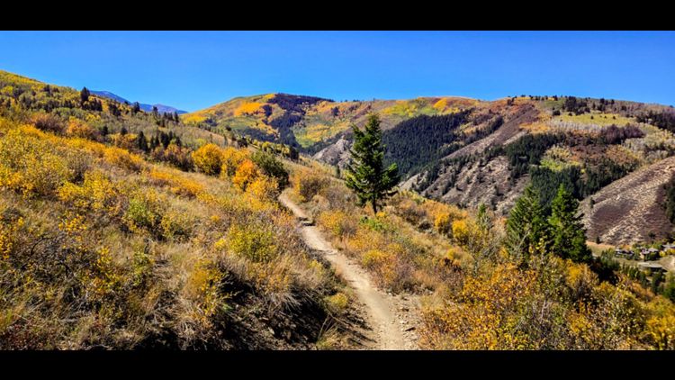
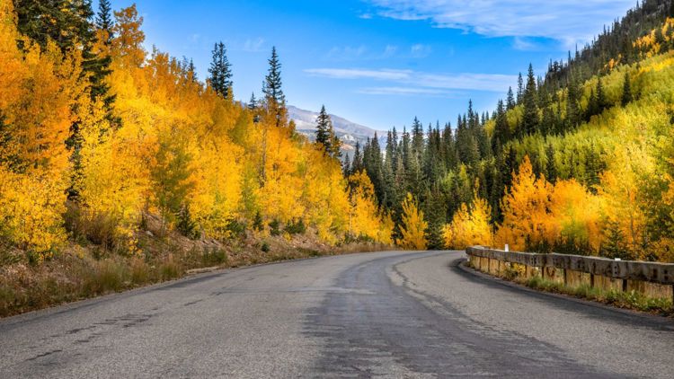
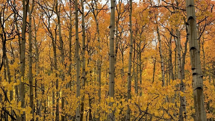
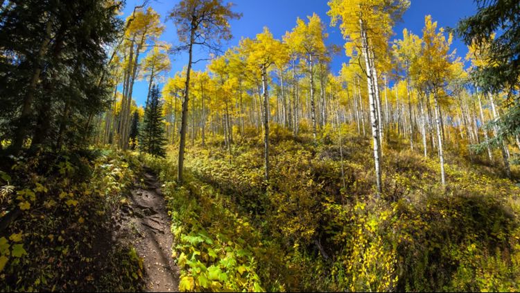
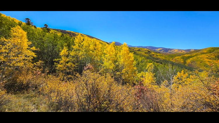
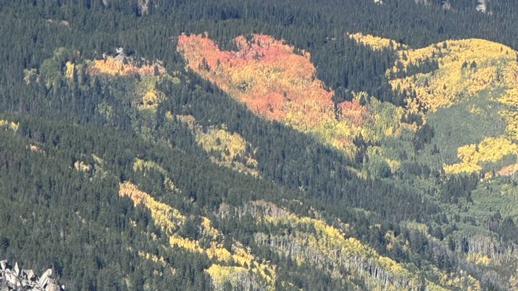
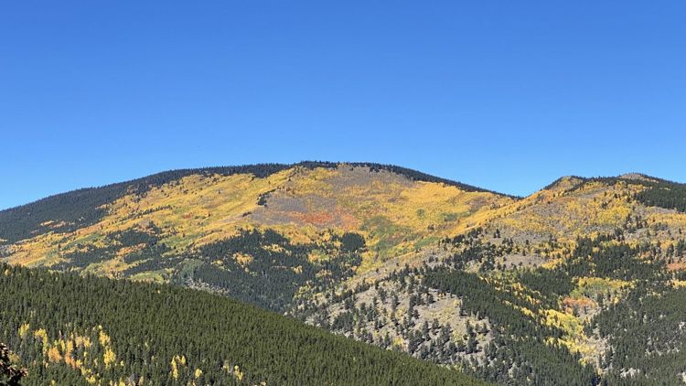
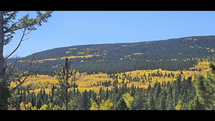
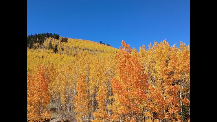
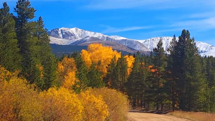
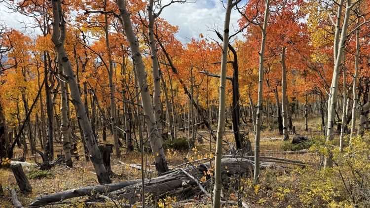
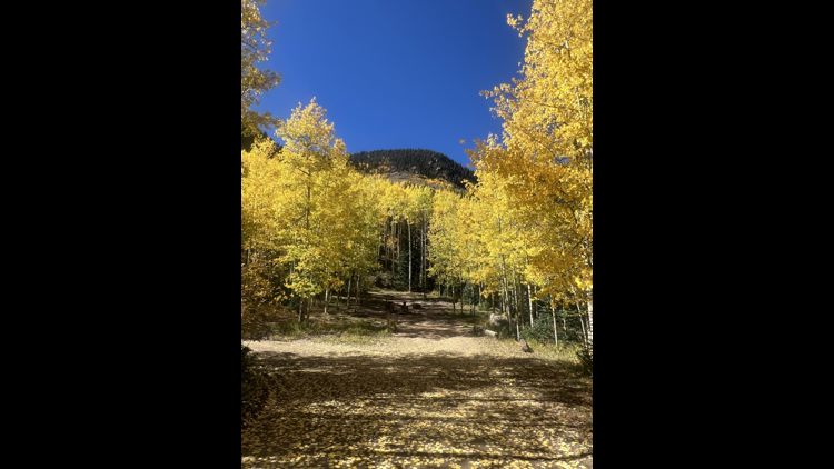
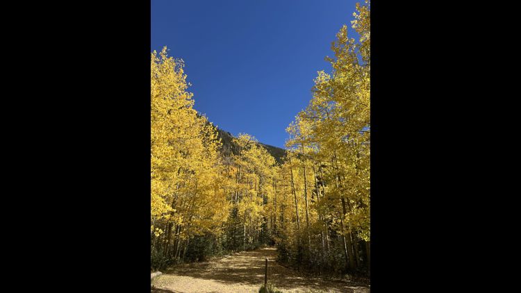
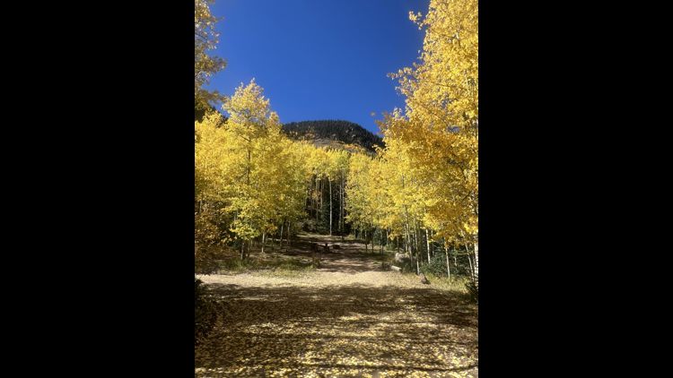
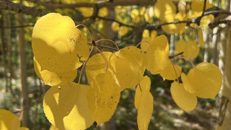
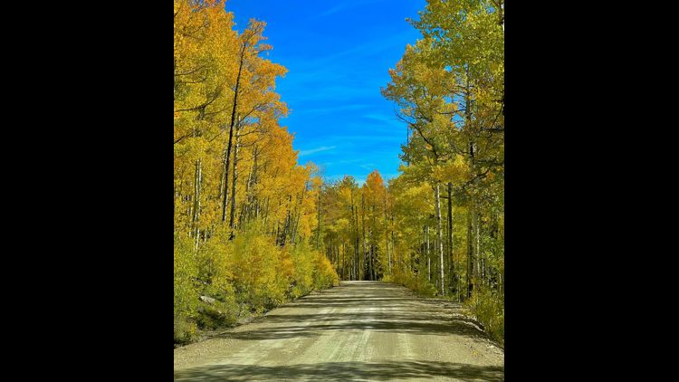
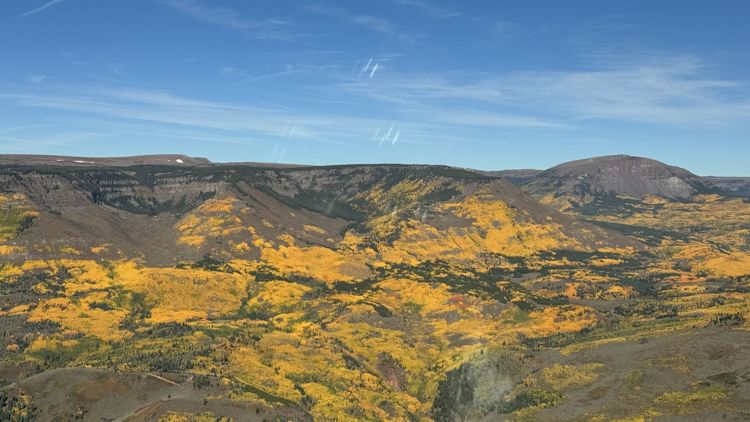
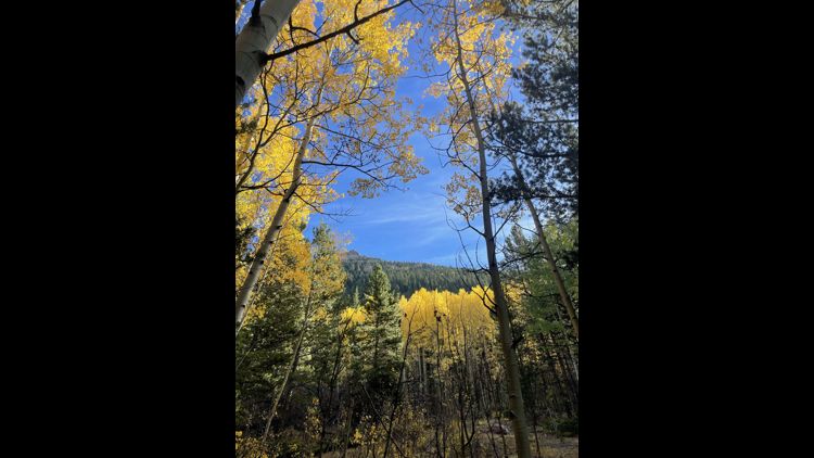
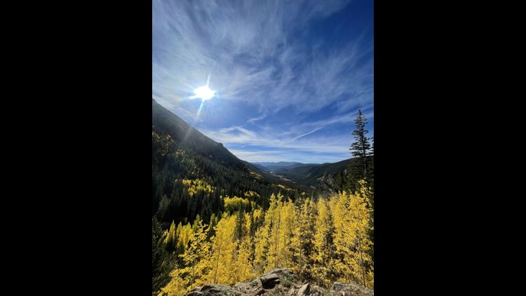
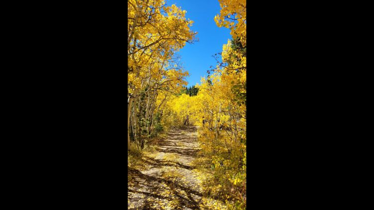
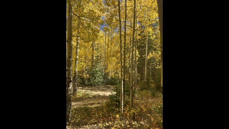
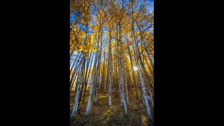
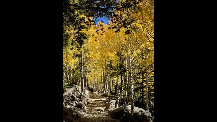
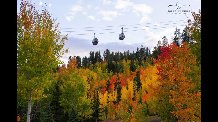
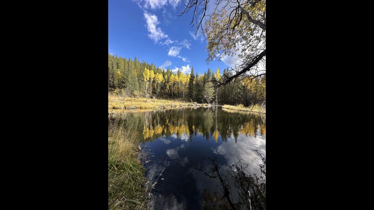
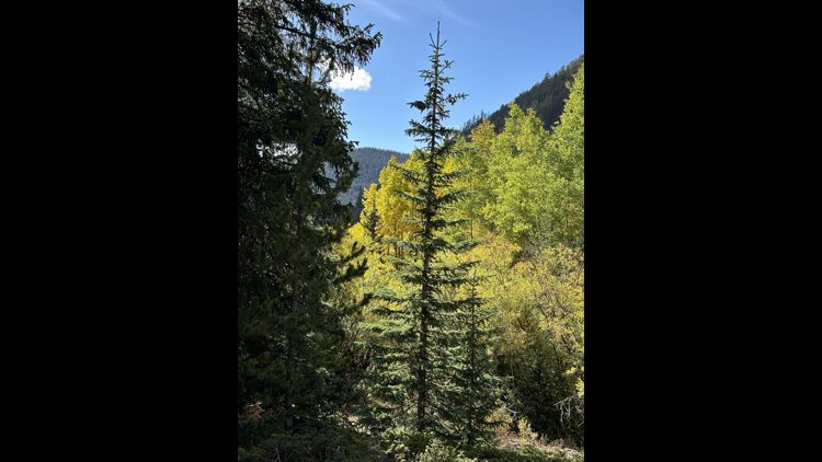
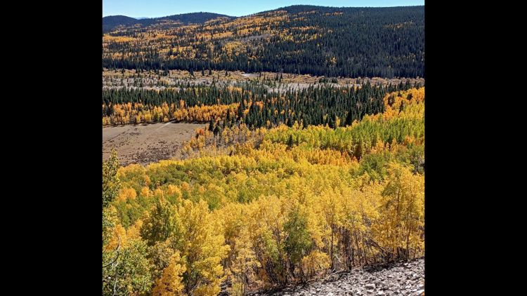
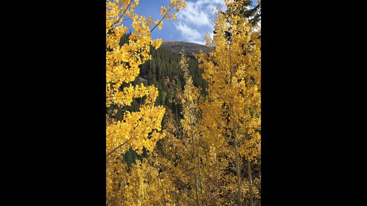
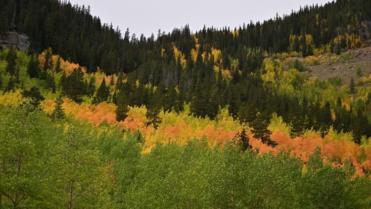
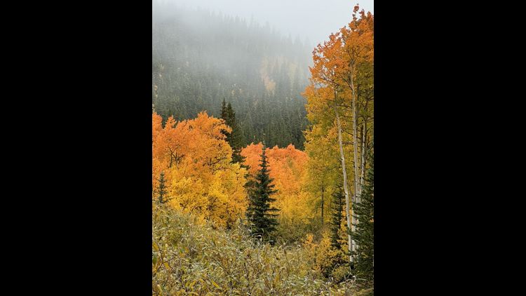
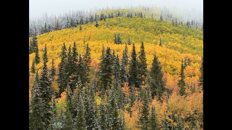
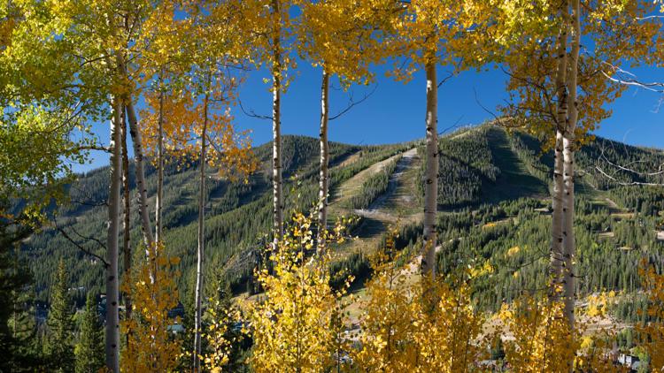
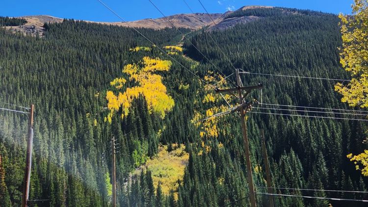
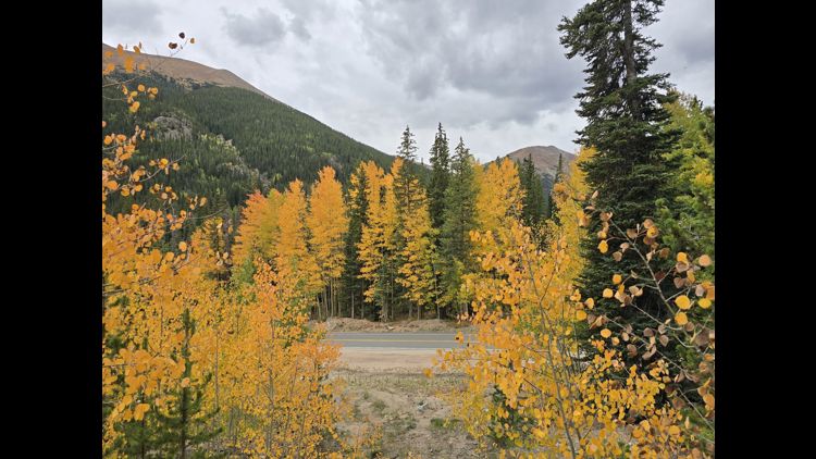
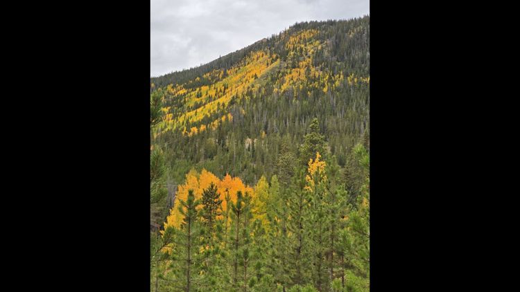
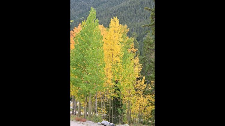
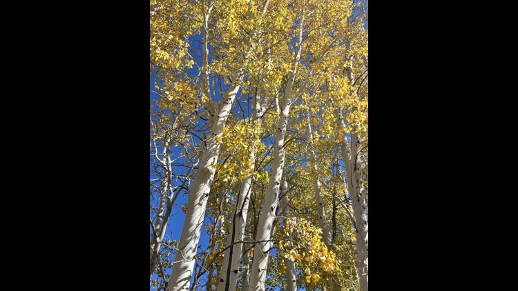
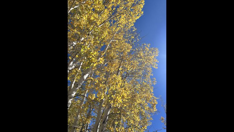
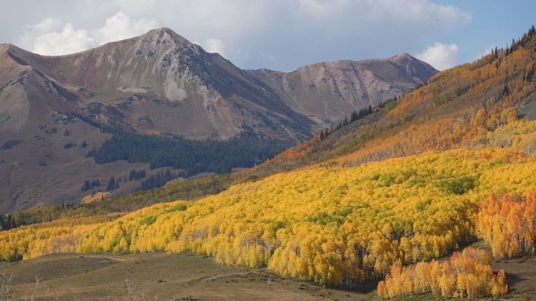
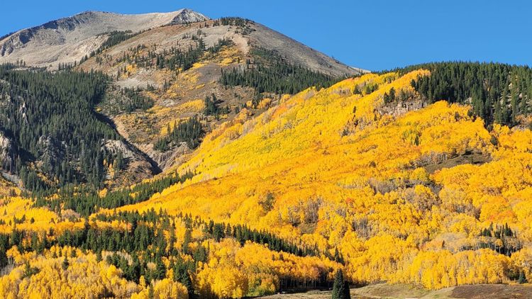
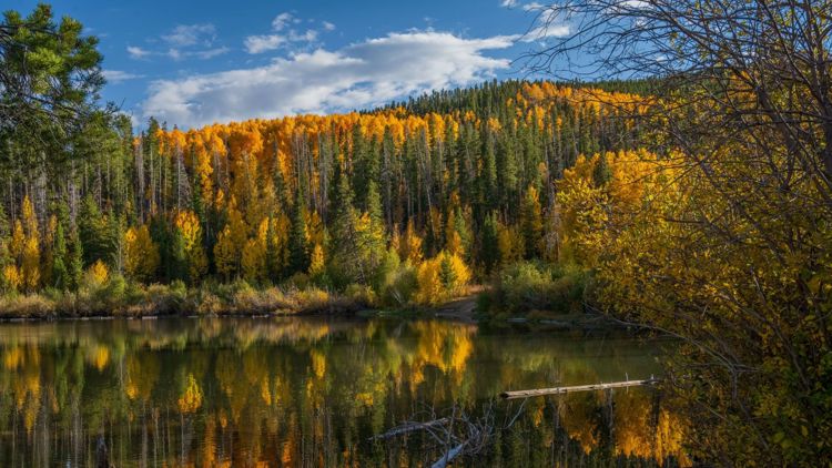
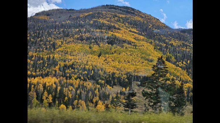
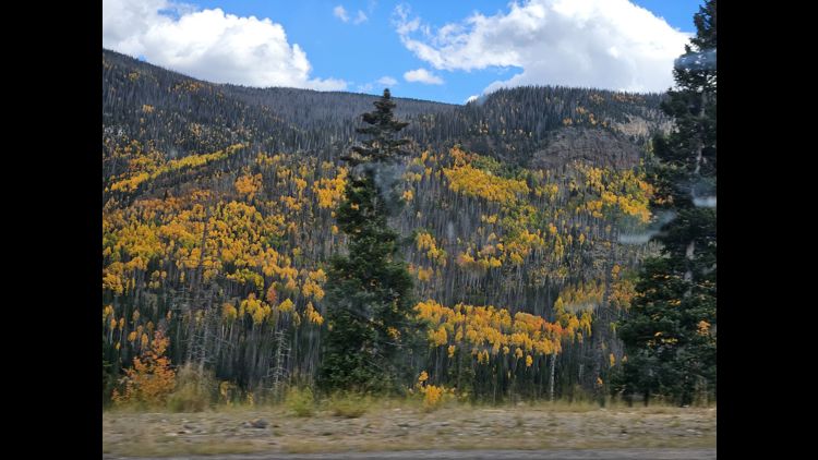
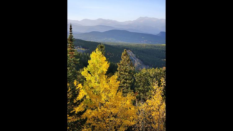
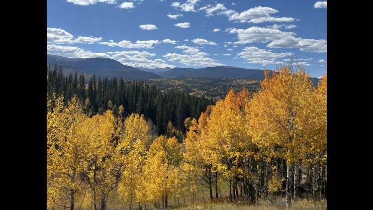
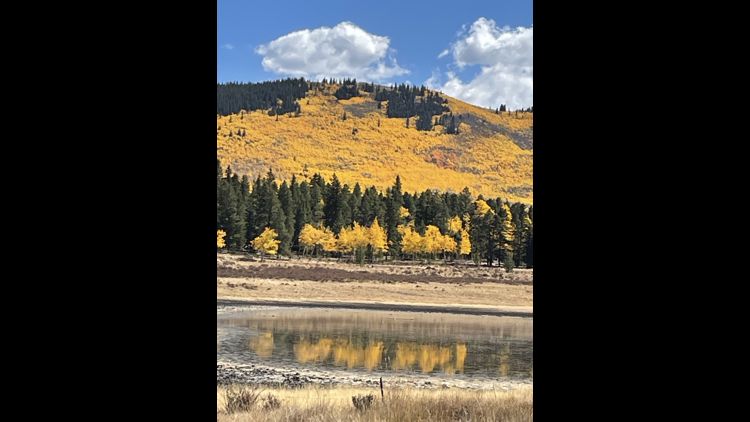
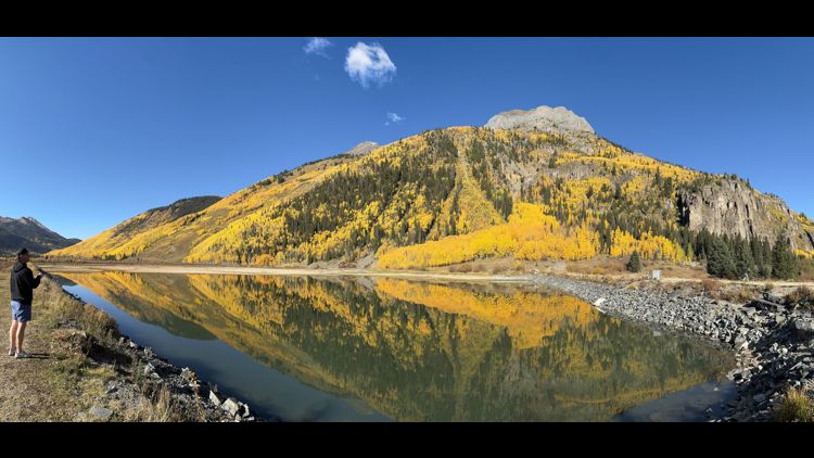
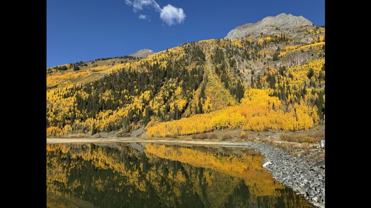
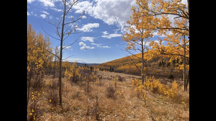
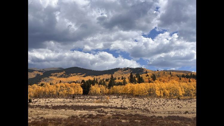
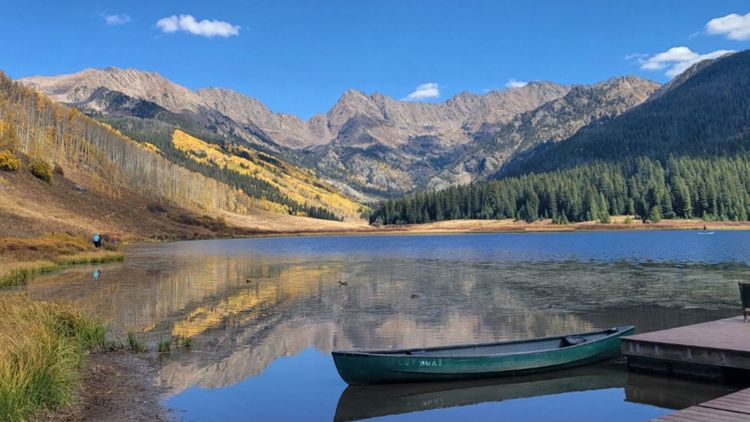
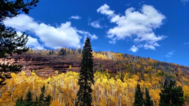
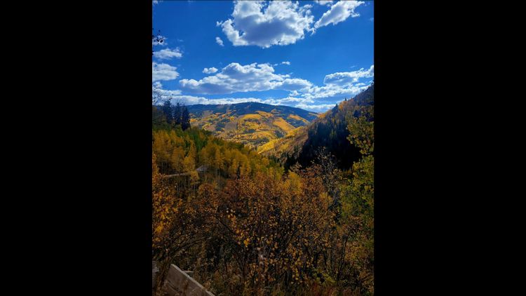
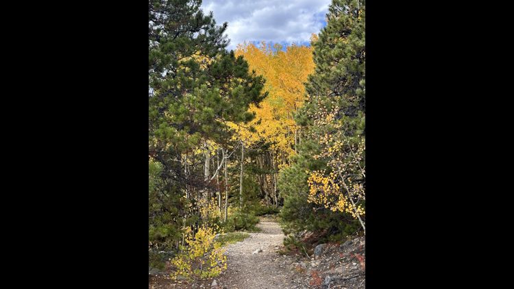
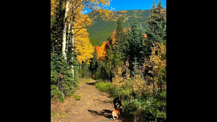
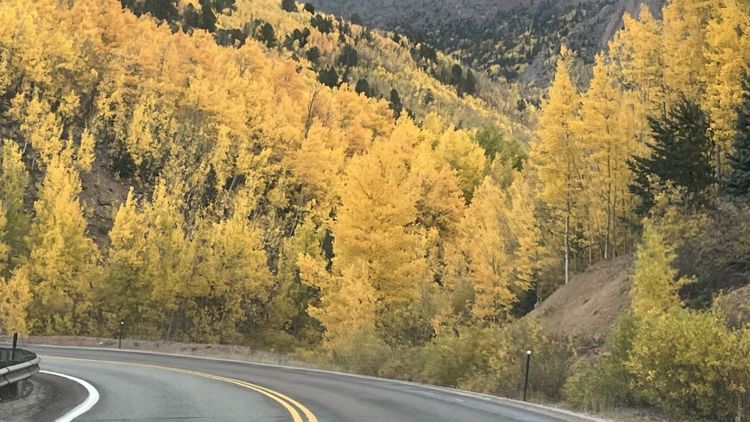
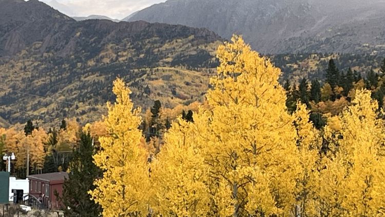
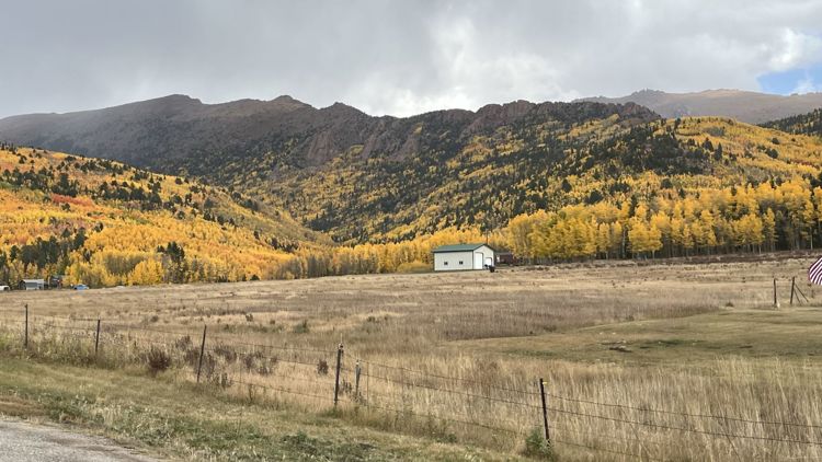
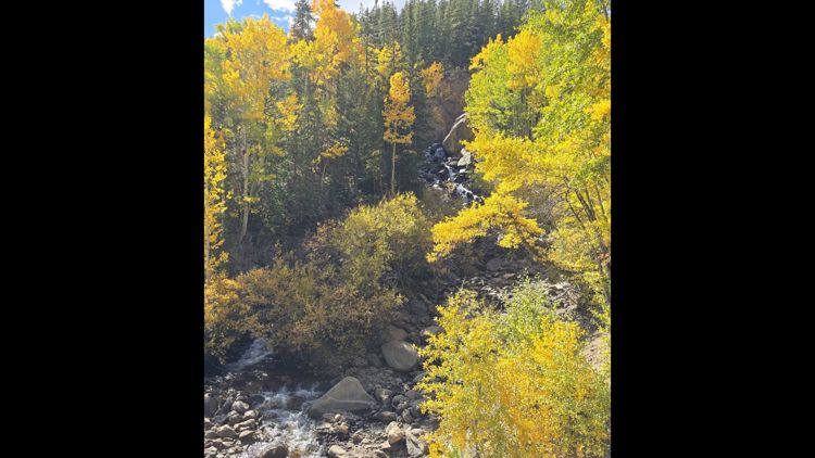
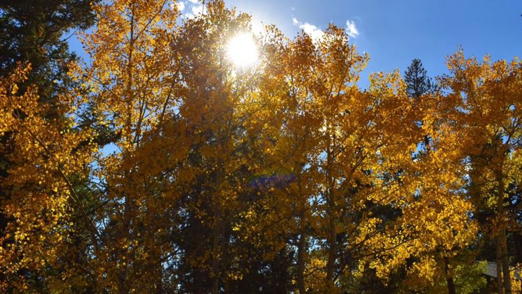
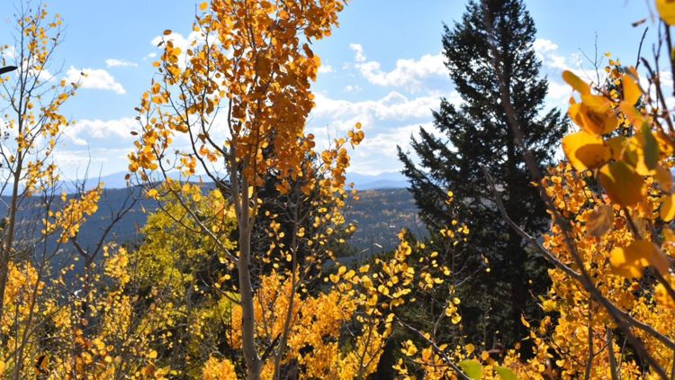
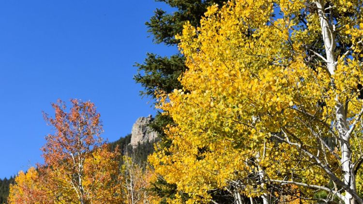
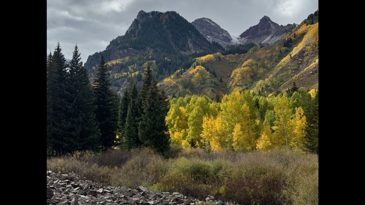
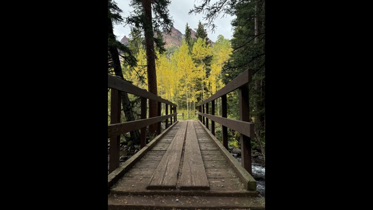
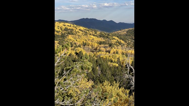
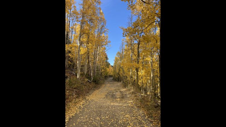
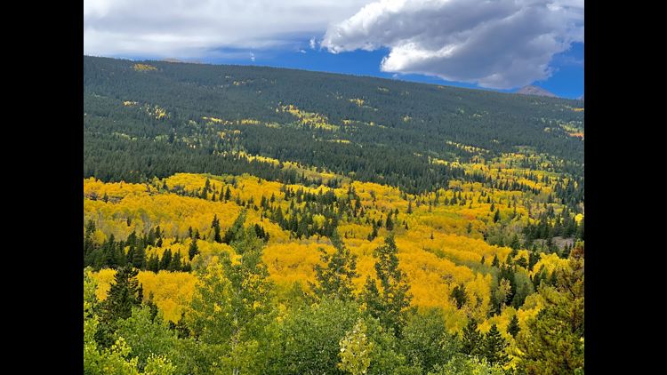
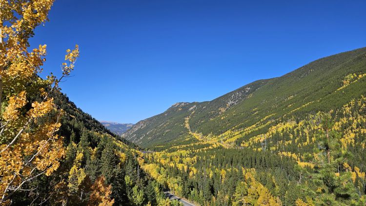
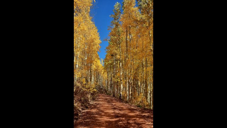
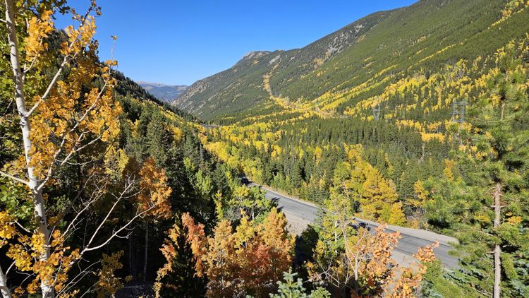
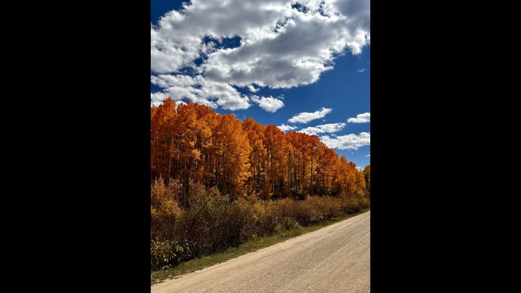
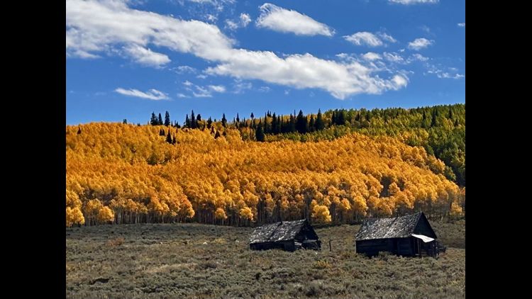
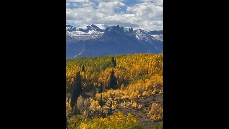
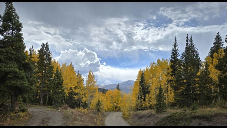
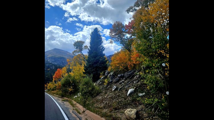
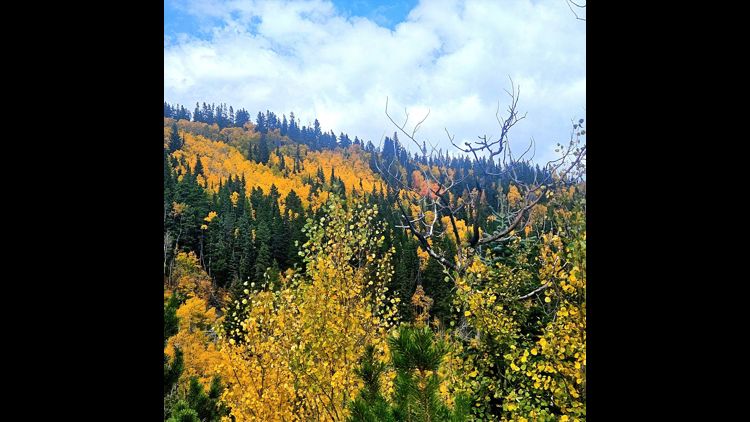
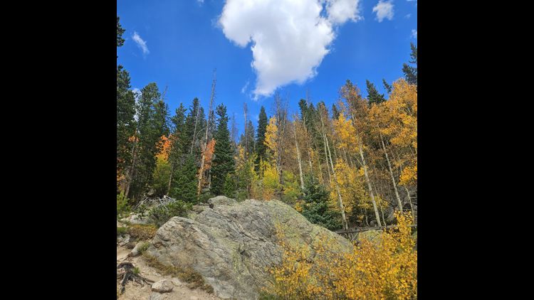
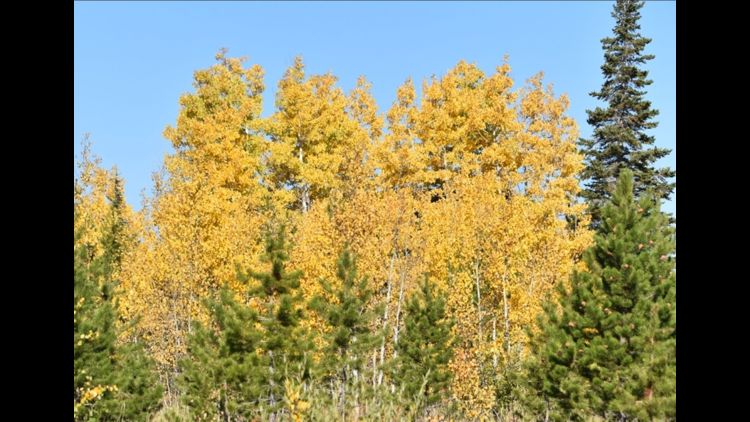
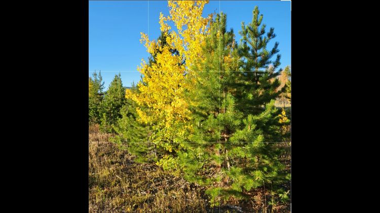
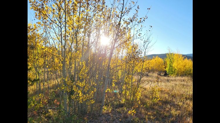
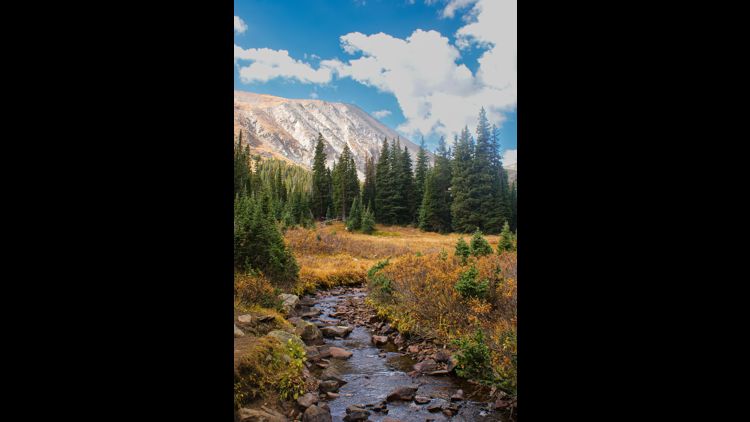
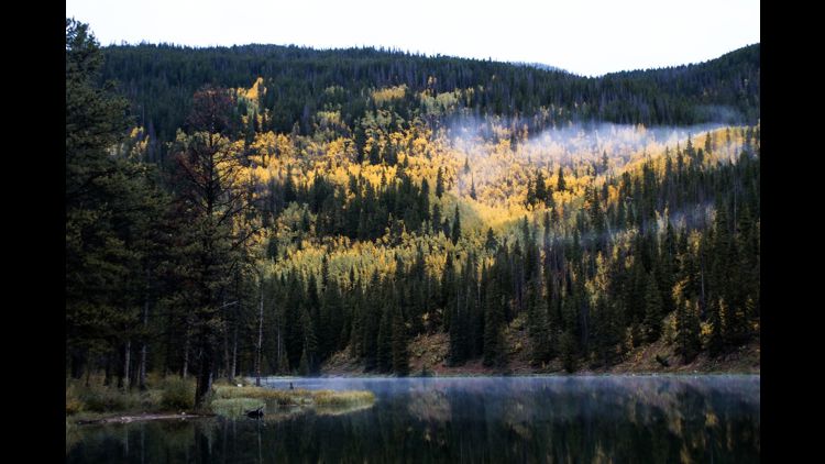
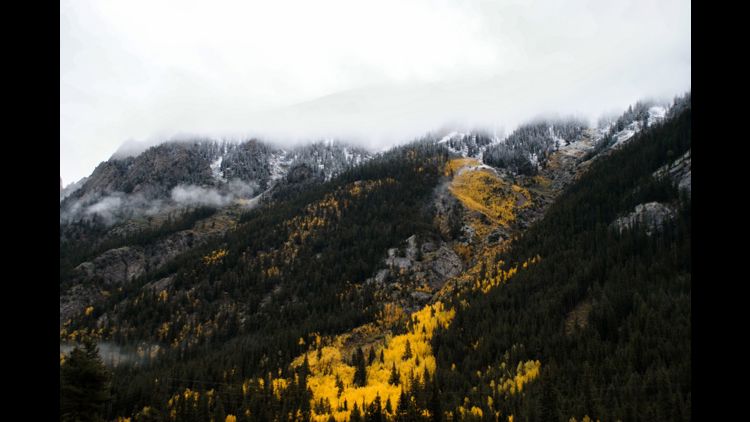
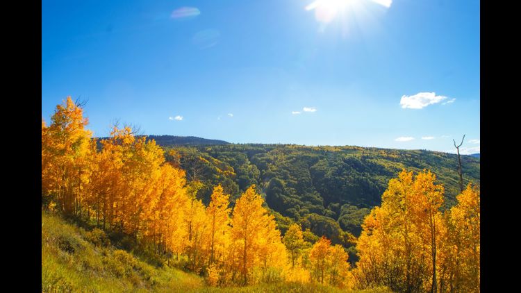
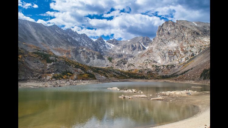
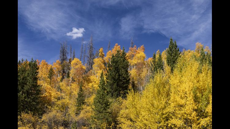
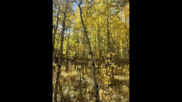
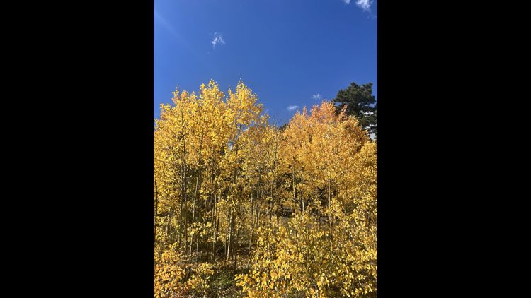
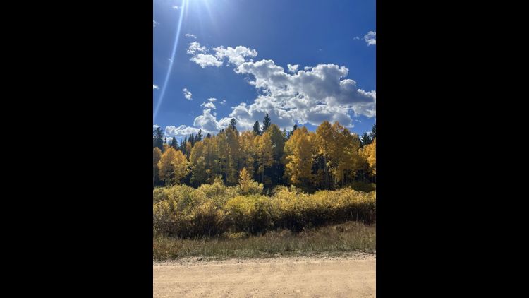
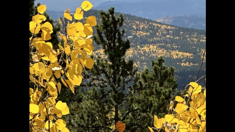
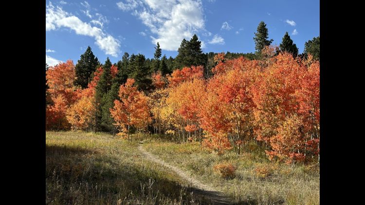
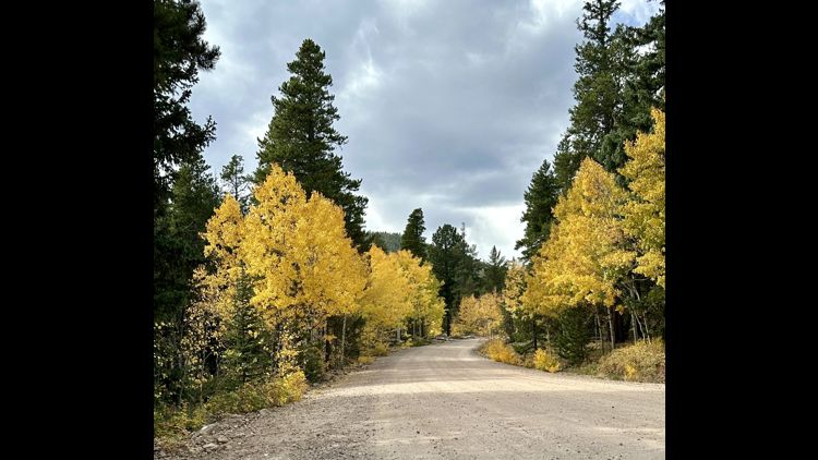
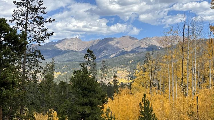
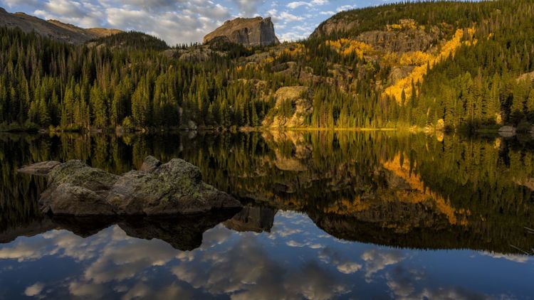
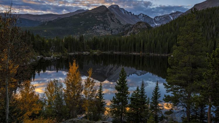
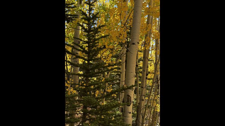
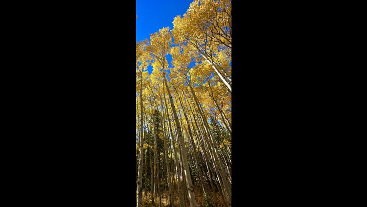
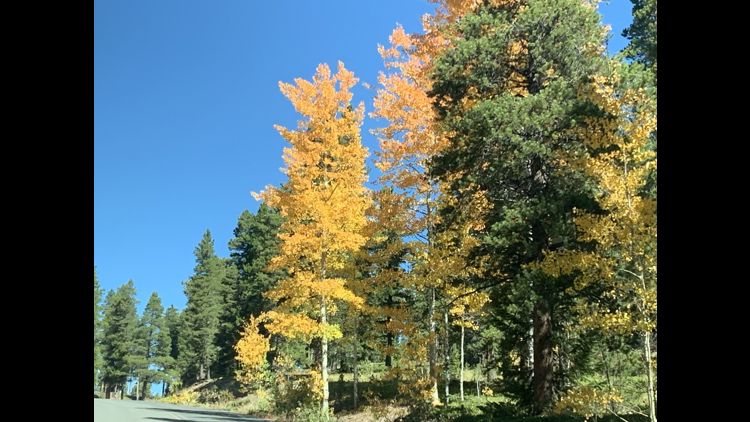
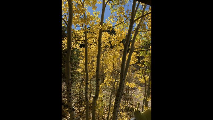
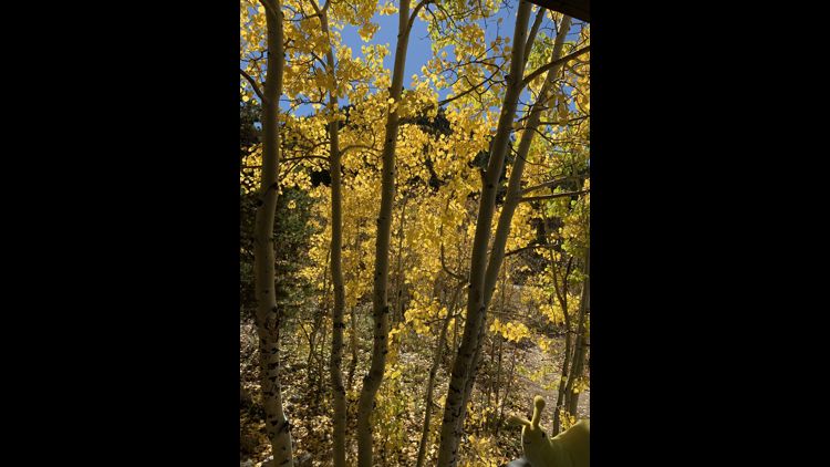
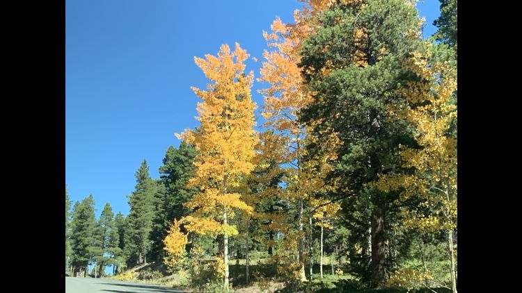
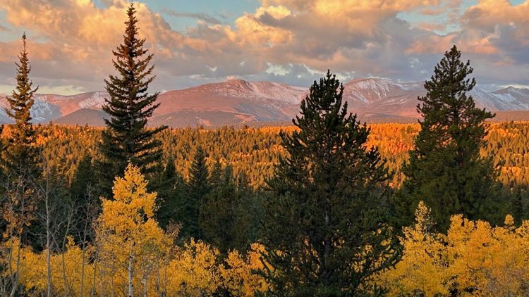
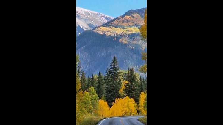
Here are nine hikes where you’re guaranteed to see fall colors make Colorado’s spectacular mountain backdrops even more picturesque.
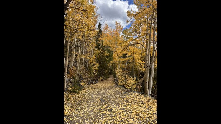
Kenosha Pass
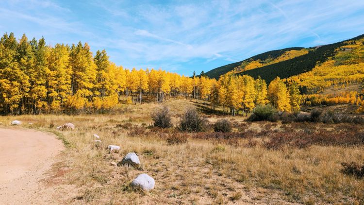
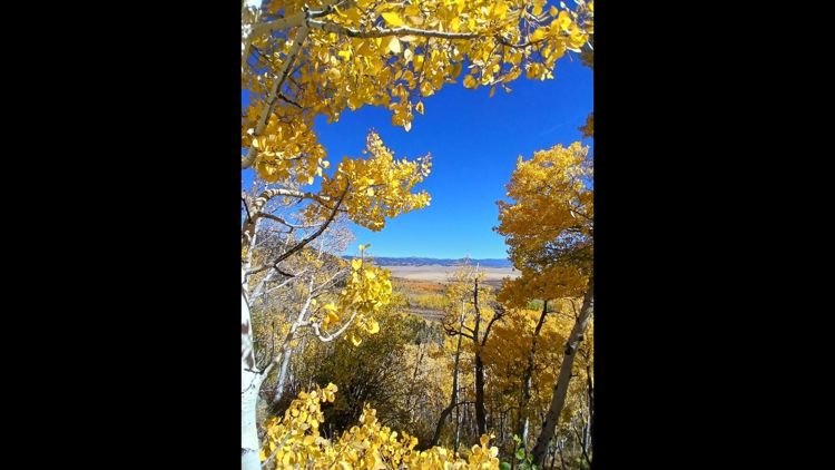
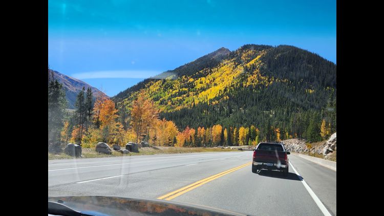
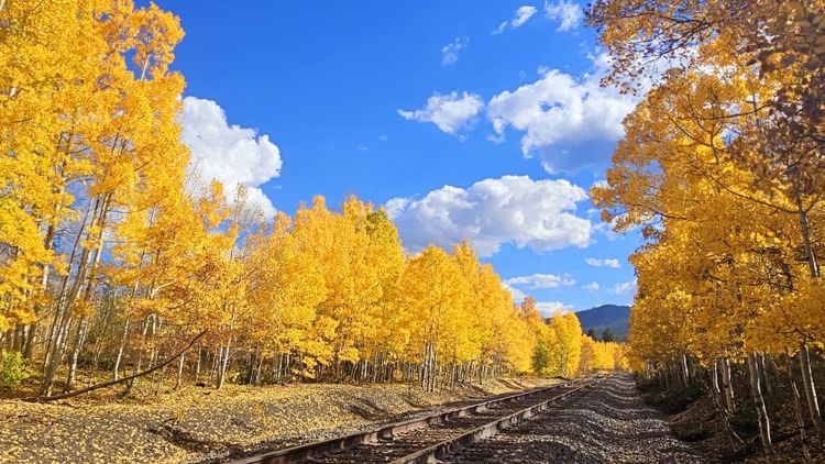
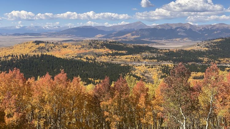
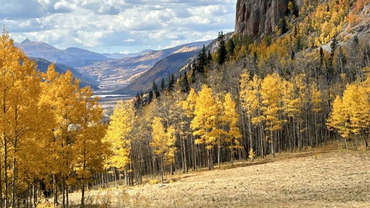
This one is obvious, but if you’re new to the state, it might not be (and, if we didn’t include it, I’m guessing at least one person would email 9NEWS). On a fall weekend when the leaves are their peak, this iconic spot about an hour and a half from Denver by way of U.S. 285 might look like a busy parking lot, with leaf peepers from all over the state flocking to this scenic valley to catch a glimpse of the aspens in their colorful glory.
There’s a reason for it, though: the views are spectacular.
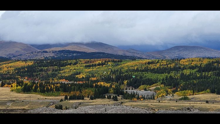
And, if you venture more than around a quarter-mile from the parking lot, the folks there just for the Instagram opportunities will have already given up and returned to their cars. The Colorado Trail runs on both sides of the highway, and while there aren’t many opportunities for loops, you can hike as long as you want, with glimpses of South Park and of course, plenty of aspen trees, acting as the payoff.
You can find a map and read more about the area online here.
Lost Lake via the Hessie Trail
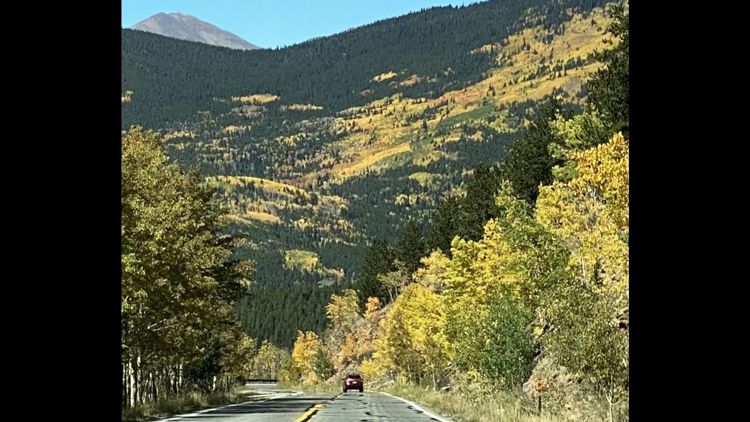
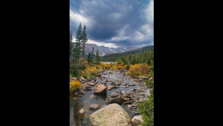
The Indian Peaks are a gorgeous part of the state that are only around an hour-and-a-half drive from Denver. You’ll be afforded gorgeous views of the aspens on the drive up, as well as during the 4.1-mile hike itself.
Like any even vaguely well-known hike within two hours of metro Denver, this one can get crowded on a weekend, meaning you should leave early to get a parking space and come without a sense of entitlement – after all, the natural world doesn’t belong to you any more than it does anyone else.
The loop has 931 feet in elevation gain, and is dog-friendly, though they must be kept on a leash.
For topographic maps and trail reports, click here.
Horse Ranch Park Loop
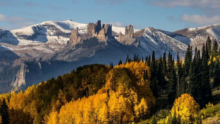
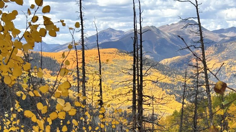
Kebler Pass is legendary because of its aspen forest, and sure, you can drive it, but there’s no better way to experience Colorado than on foot.
This will be a long drive from Denver but worth it based on the mountain views alone. This hike is six miles with around 1,102 feet in elevation gain. You’ll top out at 9,948 feet.
Travel Crested Butte recommends going clockwise, starting on the Dark Canyon Trail. This offers solid views from rock outcroppings at the two-mile mark, and a descent back to the parking lot involving thick aspen groves.
You can read a hike report as well as directions from Crested Butte online here.
North Deer Mountain Trail
Any hike in Rocky Mountain National Park is going to be incredible during the fall, but this one gives you the opportunity to bag a summit in the process.
The 6.2-mile round trip hikes offer “beautiful vistas” of the Fall River Valley, Mummy Range and golden aspens, according to Estes Park’s tourism website.
It also might not be as crowded as some of the more iconic hikes in the park, such as Ouzel Falls or Cub Lake (two journeys also worth checking out for the incredible aspens).
Be sure to check before making the drive, as the National Park Service says the status of Trail Ridge Road and other Rocky Mountain National Park roads can change quickly and at any time. Also, check with Rocky Mountain National Park, which requires reservations to enter at certain times.
For a trip report, click here.
Flash of Gold Trail
The Flash of Gold Trail on Buffalo Pass extends 11.8 miles point to point on Buffalo Pass outside Steamboat Springs, offering incredible views of the gold aspens strewn throughout the valley.
It switchbacks from about 8,200' to 10,100', and since it's an out-and-back, feel free to turn around whenever it feels right.
Get to this spot from the Dry Lake parking lot.
Read a full trip report, click here.
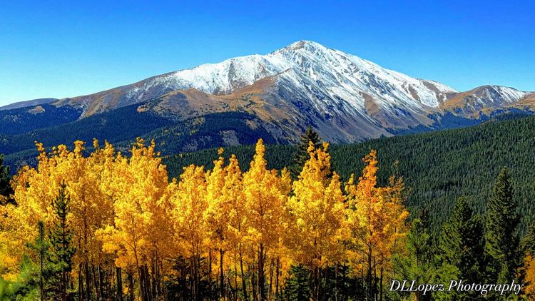
Mount Bierstadt Trail
As long as there’s not an epic snowstorm, fall is one of the best times to explore Colorado’s 14ers. It’s less busy and the weather’s actually a bit more reliable than it is in the summer, where thunderstorms are a bit of a norm.
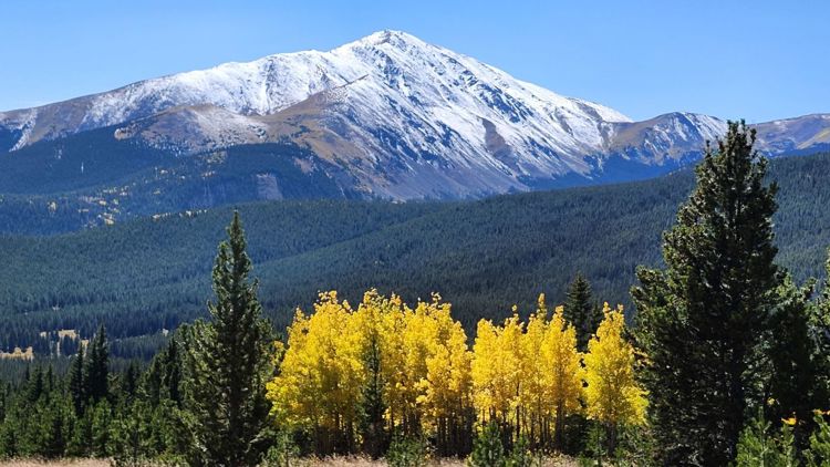
This 7.3-mile out-and-back trail up the extremely popular 14,065-foot peak via Guanella Pass offers you incredible views of aspens and a 360-degree view of the area.
This is common sense, but be sure to get an alpine start if you plan to summit the 14er and to bring lots of extra clothes, food and water. Sure, you might have to wake up early, but the only thing that makes fall colors better is the chance to see them at sunrise.
For more information, tips and photos, click here.
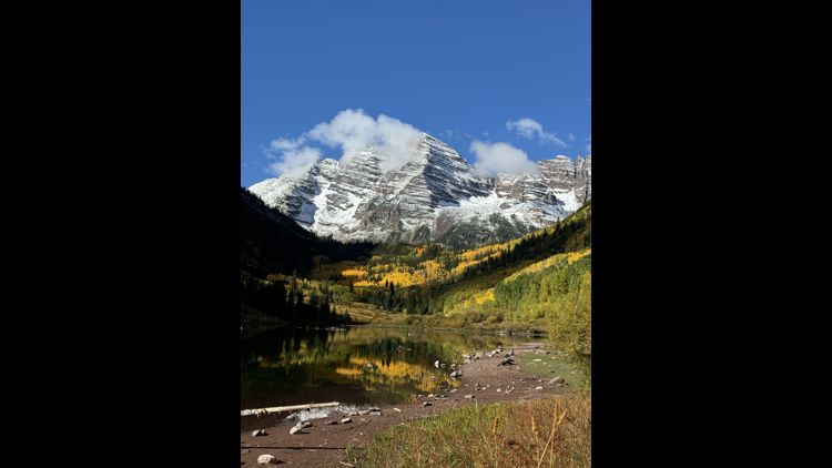
Maroon Bells
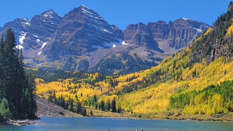
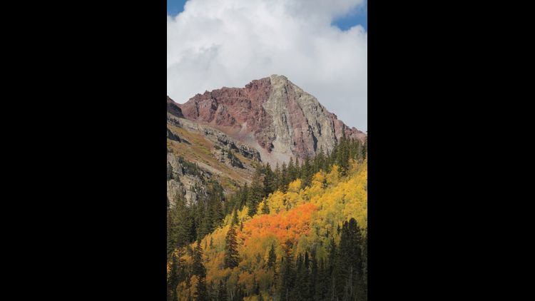
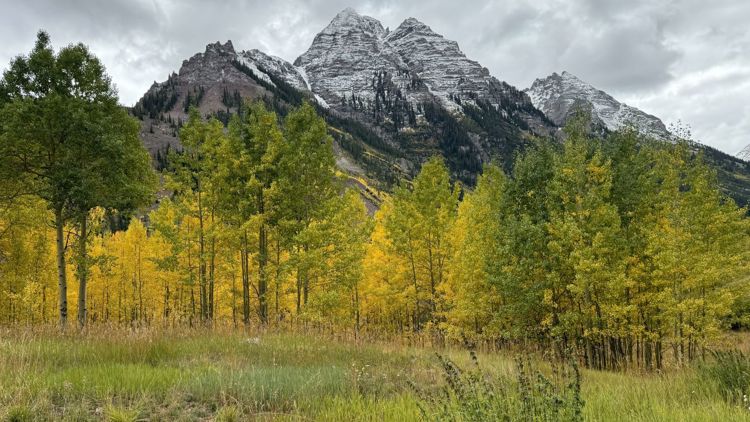
Kind of like Kenosha Pass, you can’t write about fall hikes in Colorado without mentioning the Maroon Bells, even though they might be the most iconic peaks in the state (with my apologies to Pikes Peak).
Unless you’re willing to wake up super early or hang out until after 5 p.m., you typically have to take a shuttle from Aspen to the wilderness area during the busy summer and fall months.
Since it’s a little bit of an adventure to get up there (but worth it), here’s a slightly longer hike.
The Willow Lake Trail starts at Maroon Lake before making its way through alpine meadows, up to Willow Pass and finally to the namesake lake.
DayHikesNearDenver.com calls the trail “difficult, steep and more exposed,” and at 13 miles round trip, it’s not a walk in the park. But hey: anyone can just take a picture in front of the Maroon Bells and call it good. If you’re going to deal with all the hassles to get there, why not do something a bit more epic?
You can find a good guide to the various day hikes around the Bells (lots of them are shorter) and a primer on actually getting there online here.
Reservations are required to access the Maroon Bells Scenic Area. Shuttle, parking and reservation information is available online here.
Herman Gulch Trail
This trail near Georgetown is around 6.4 miles, fairly close to the Interstate 70 corridor and offers panoramic views of Summit County and the aspens.
Your payoff is Herman Lake, a super gorgeous high alpine spot surrounded by tundra.
It’s a hike that’s not too far from Denver but comes with a good payoff. And, with a 1,815 total roundtrip elevation gain, it certainly makes you feel like you did something.
There’s a trip report and more great information online here.
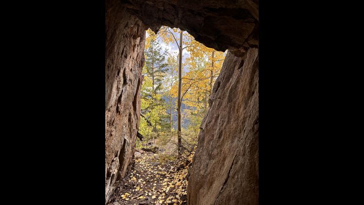
Pancake Rocks
This trail near Divide is a 6-mile out-and-back moderate trail on the west side of Pikes Peak.
The hike can be combined with the adjoining Horsethief Falls Trail for a total 12.5-mile trip.

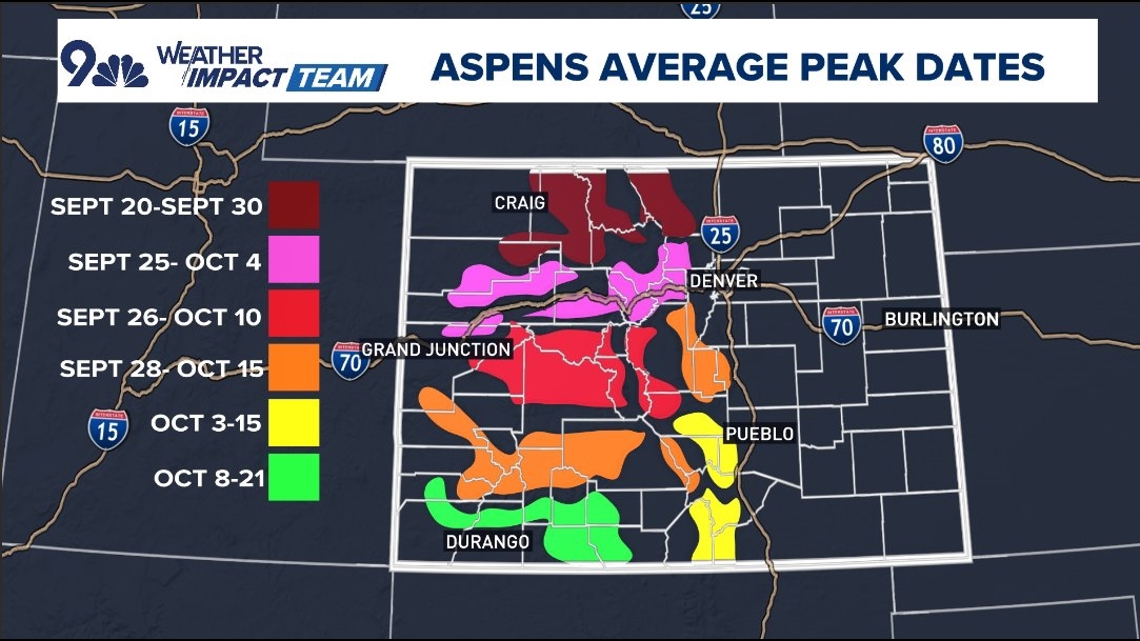
Share your photos
There's nothing like fall in Colorado and we want to highlight your photos.
To submit a photo or video, share with the 9NEWS app's Near Me feature.
- Open the 9NEWS app on your smartphone.
- On the bottom right, you'll see a button called 'Near Me'—click it.
- Click the orange button in the top left part that says "Share with Us."
- Upload your photo or video directly from your device.
- Fill out the fields: give it a title, a credit, your email, and tell us where it was taken.
- It will then be reviewed and could be used on 9NEWS and 9NEWS.com!

