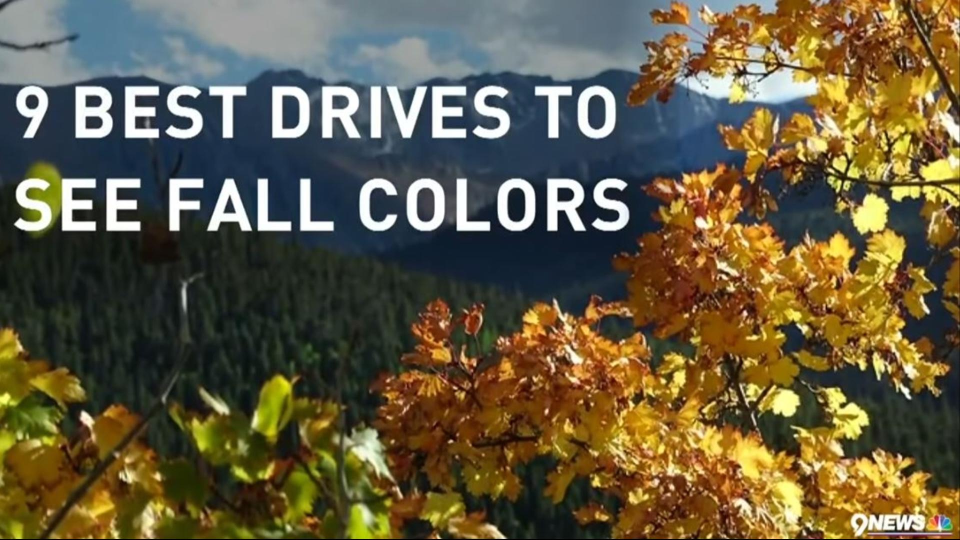
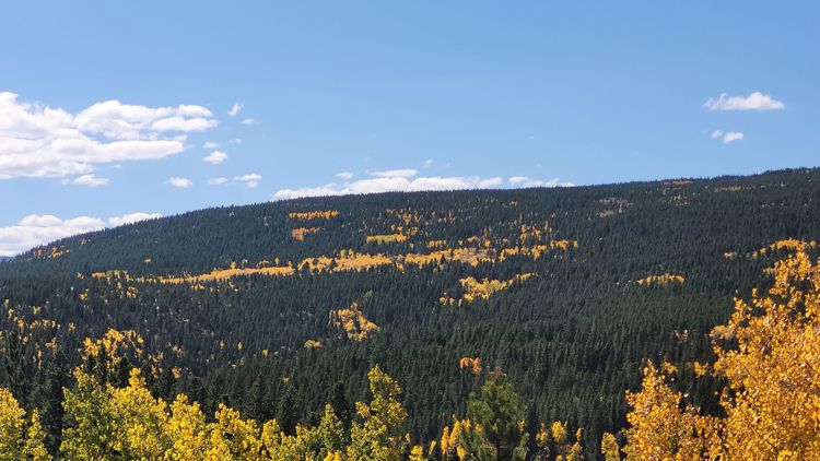
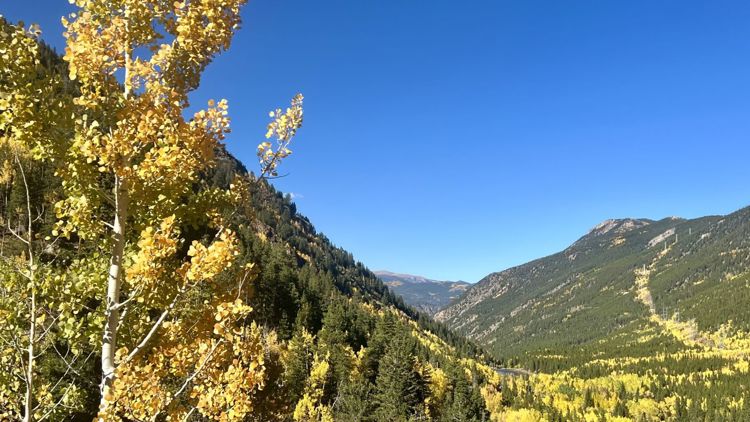
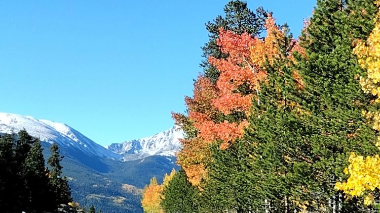
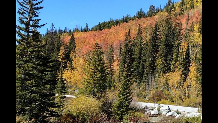
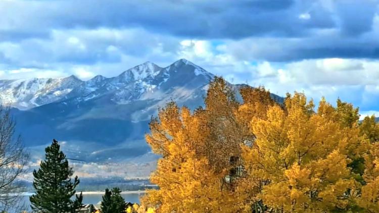
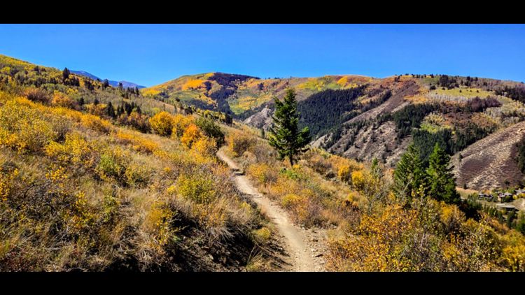
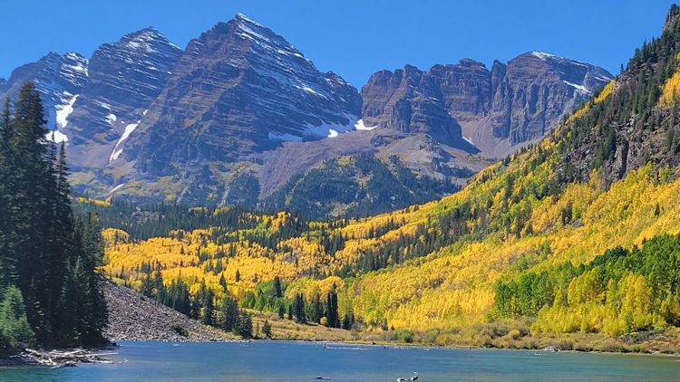
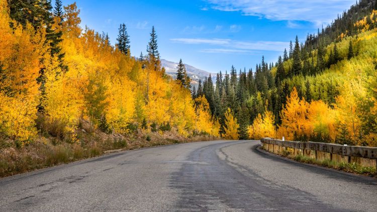
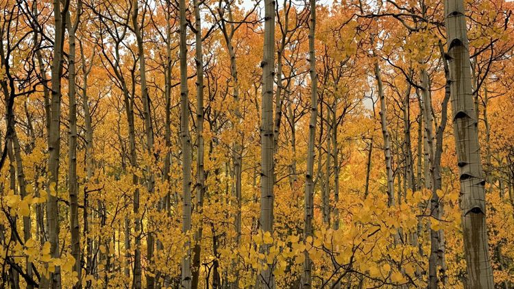
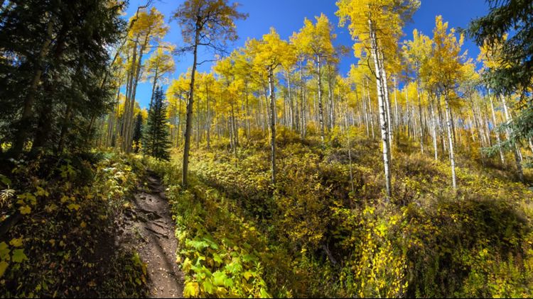
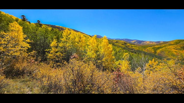
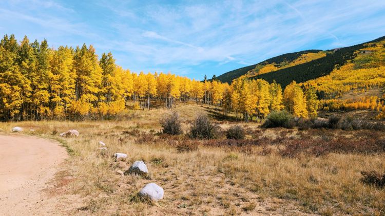
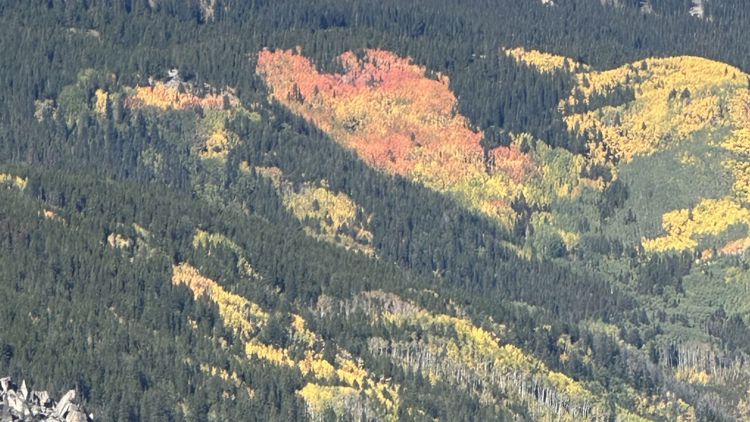
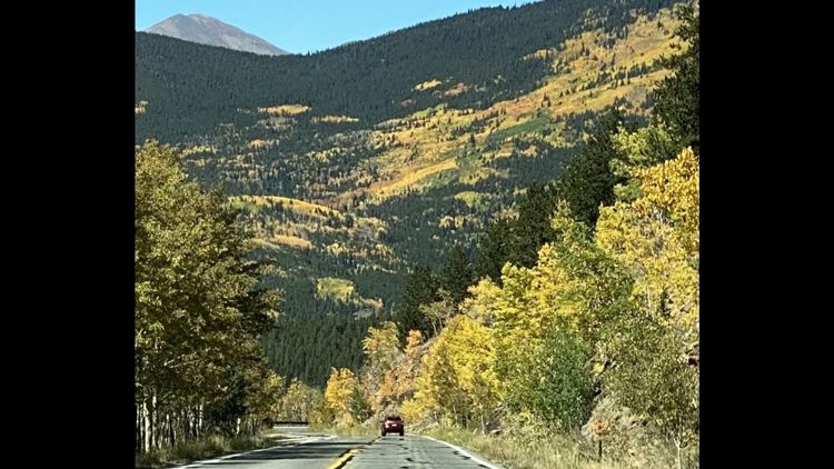
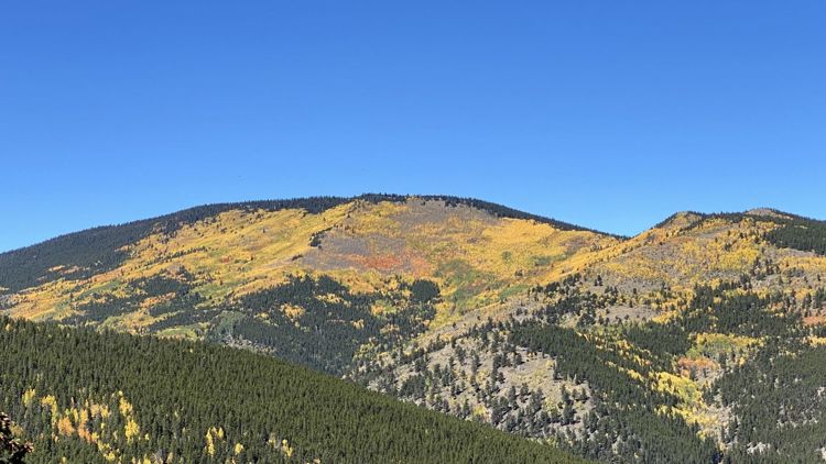
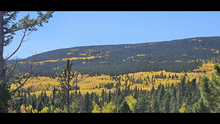
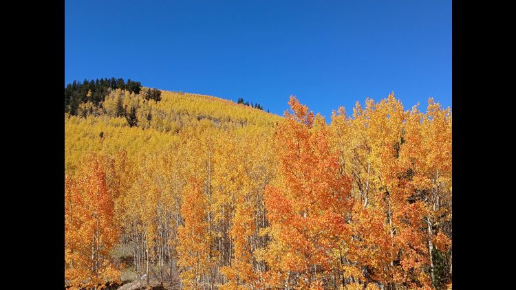
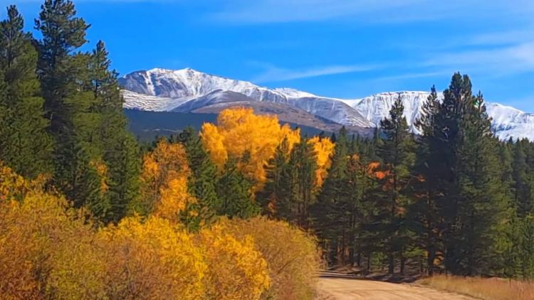
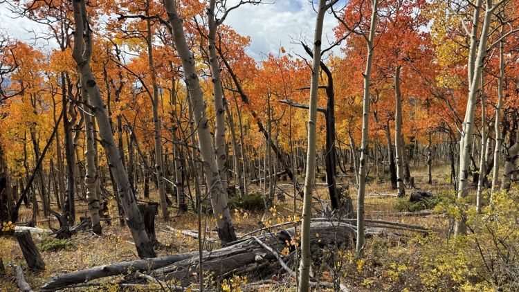
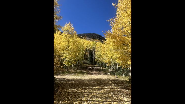
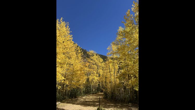
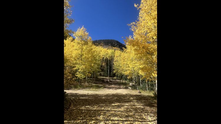
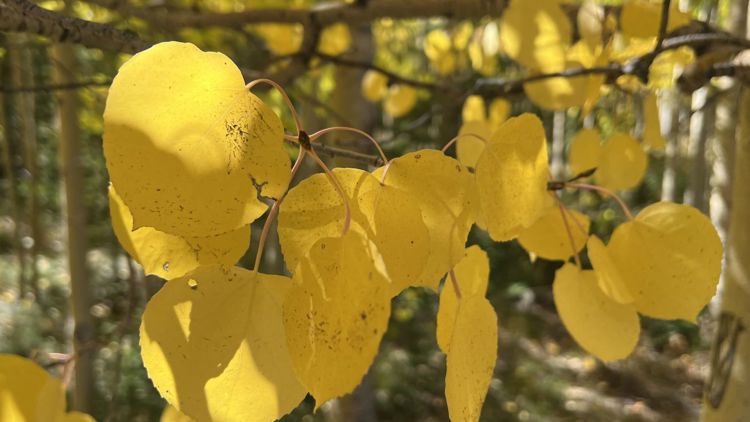
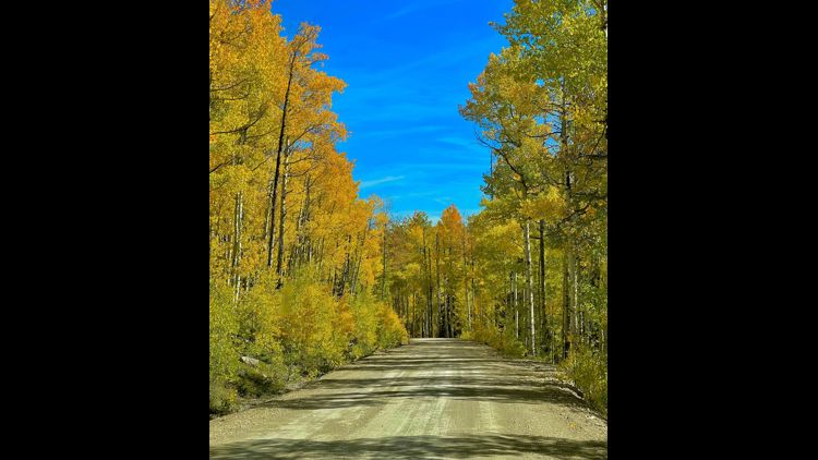
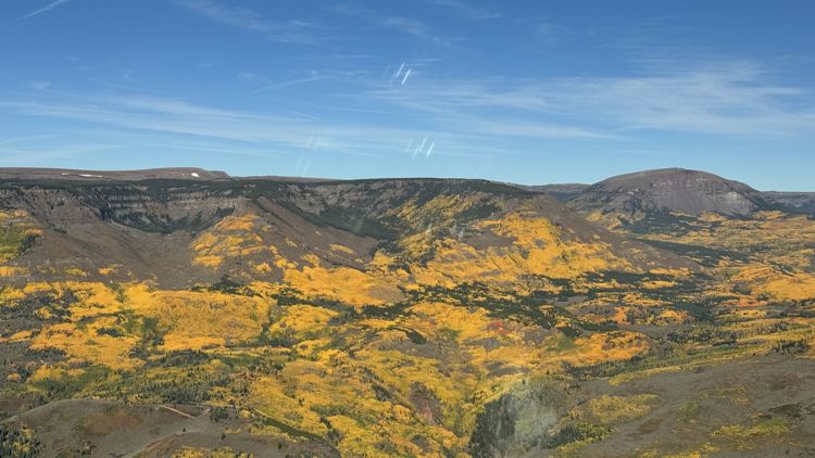
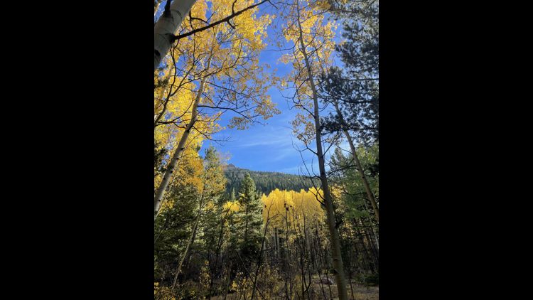
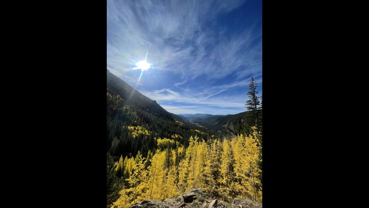
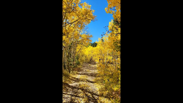
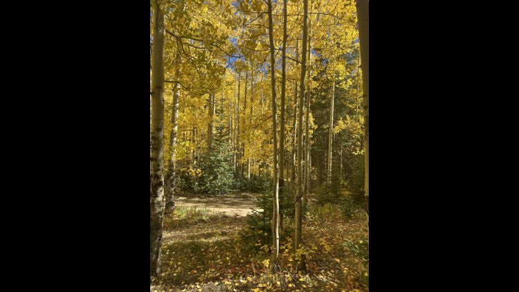
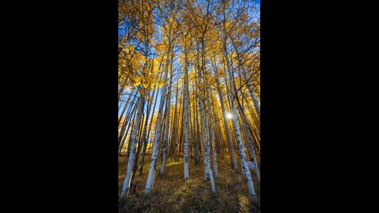
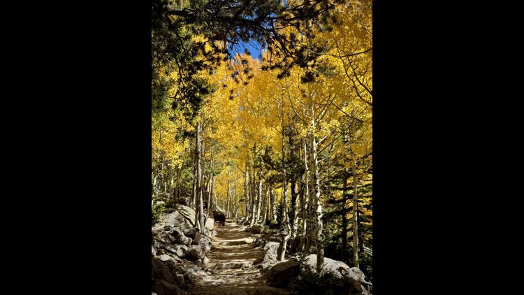
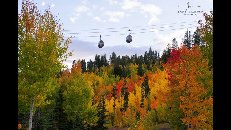
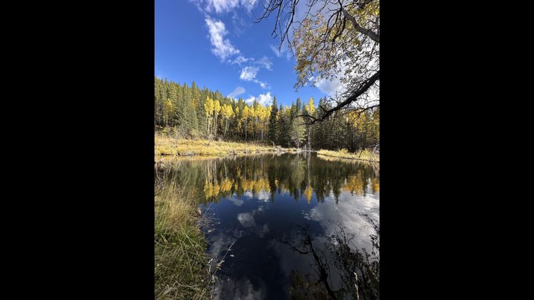
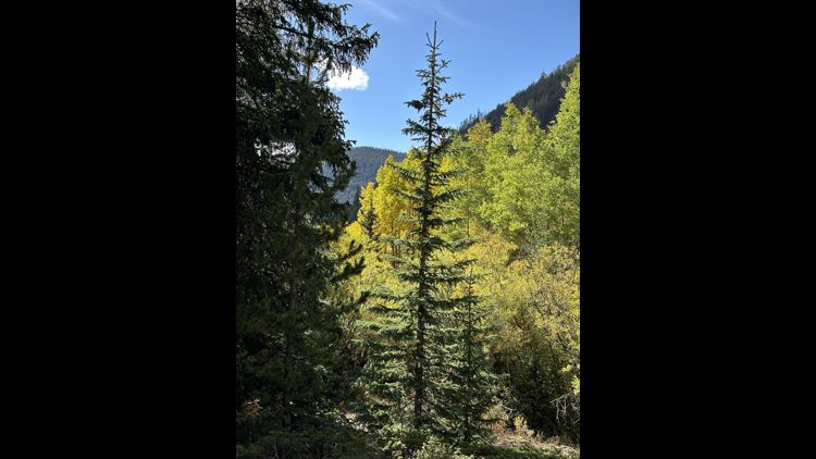
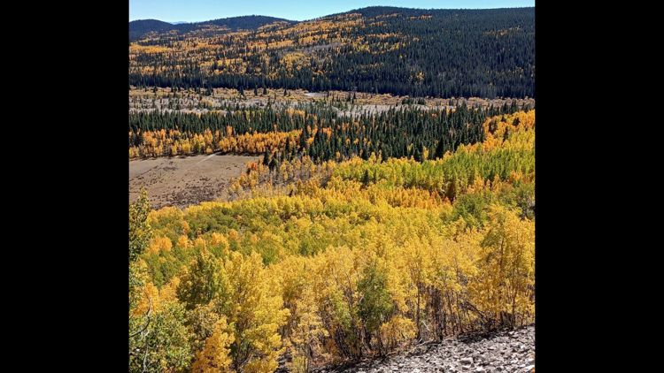
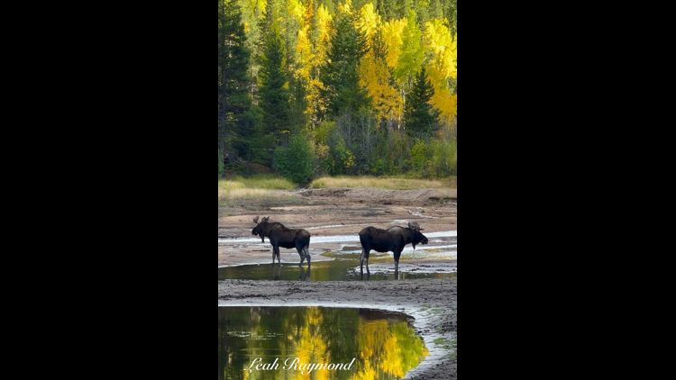
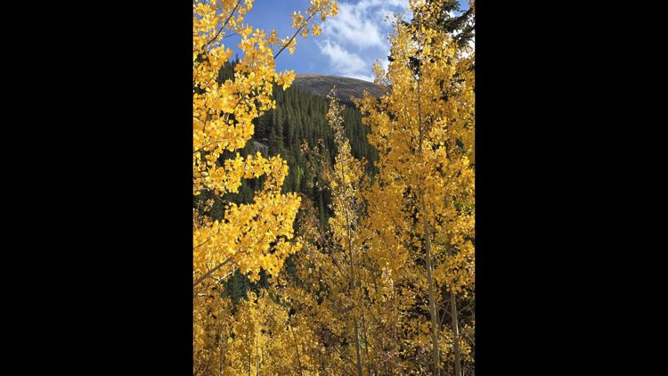
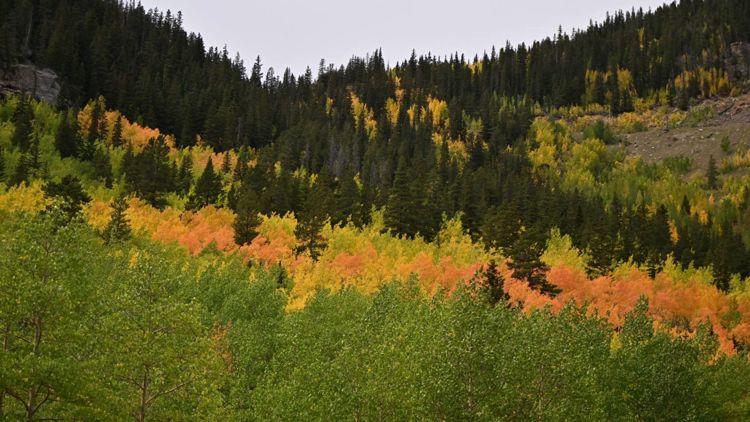
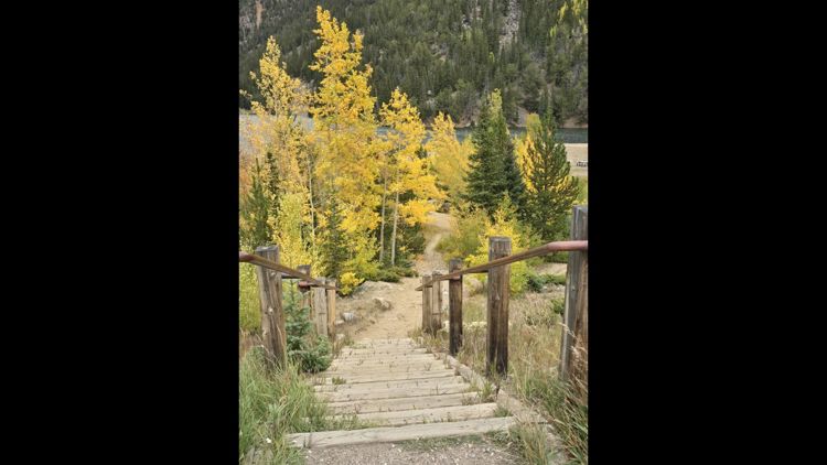
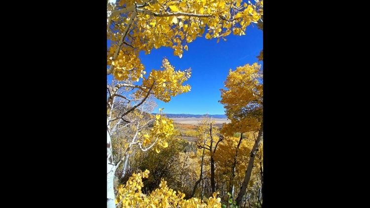
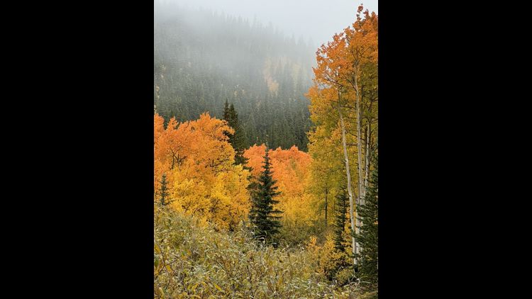
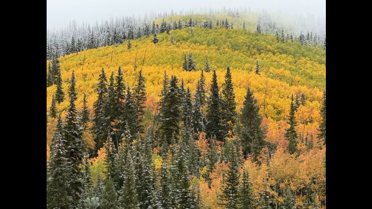
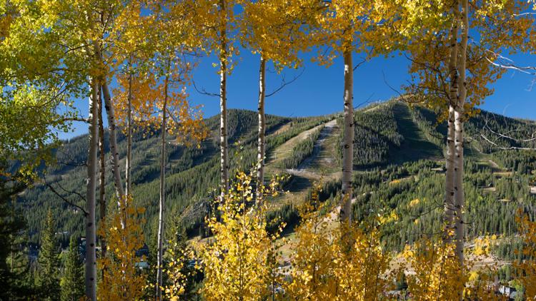
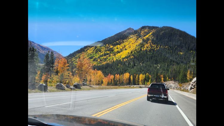
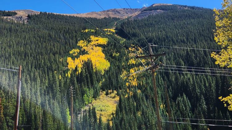
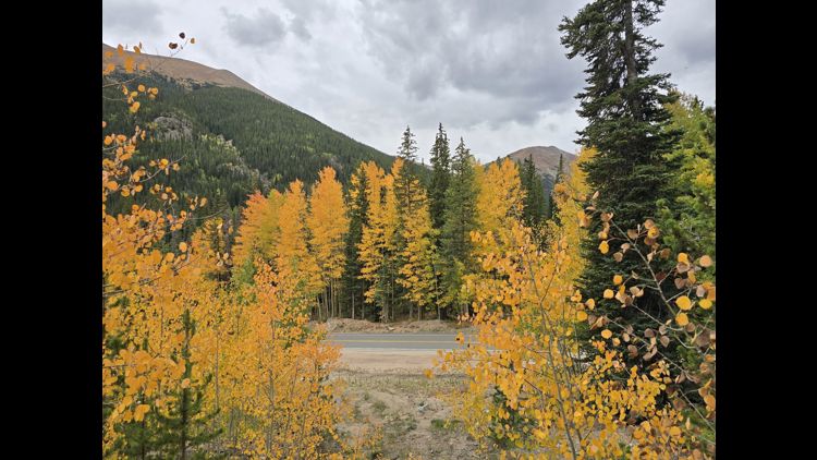
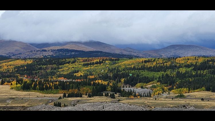
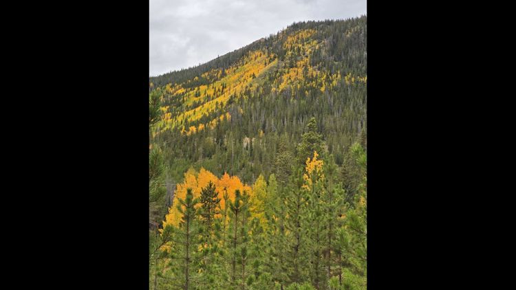
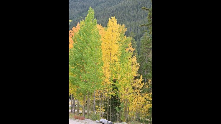
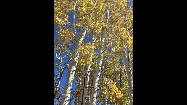
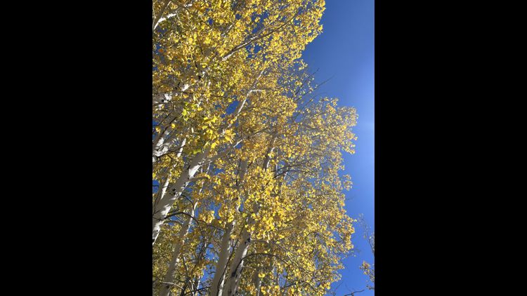
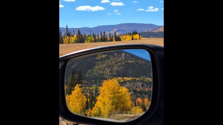
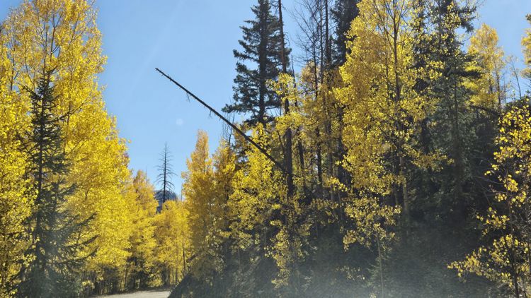
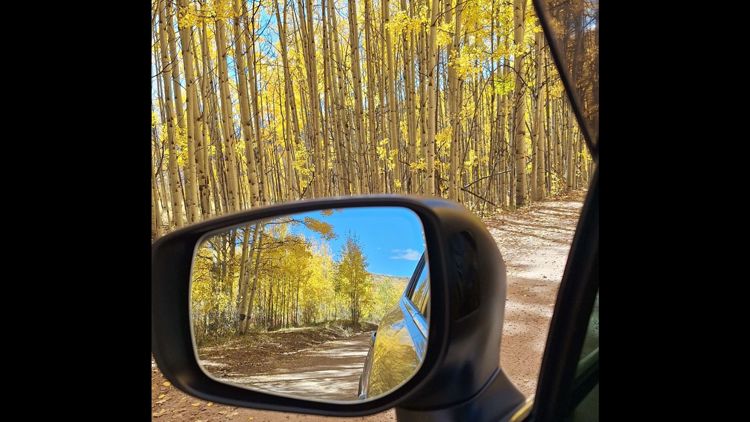
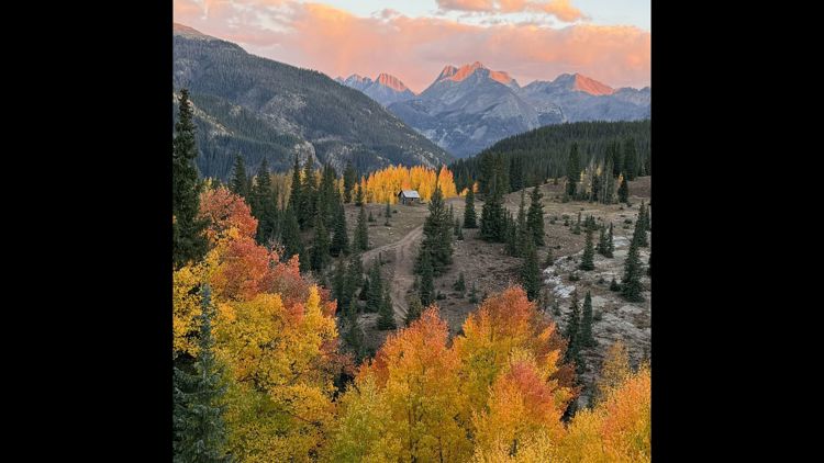
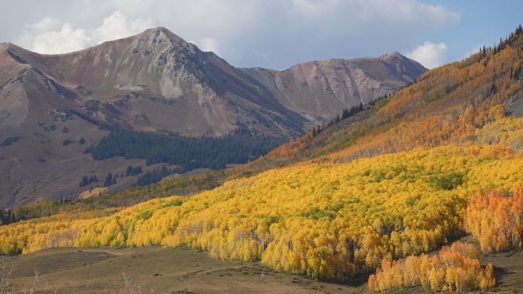
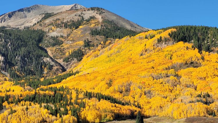
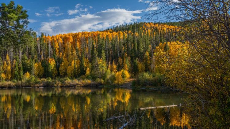
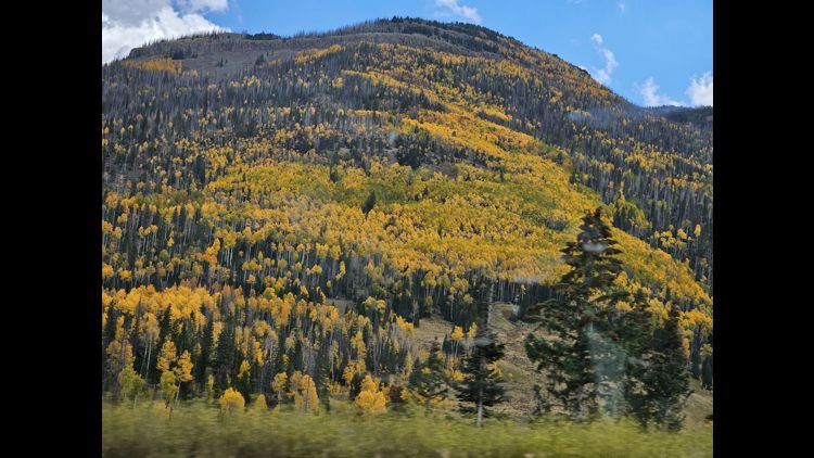
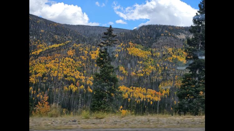
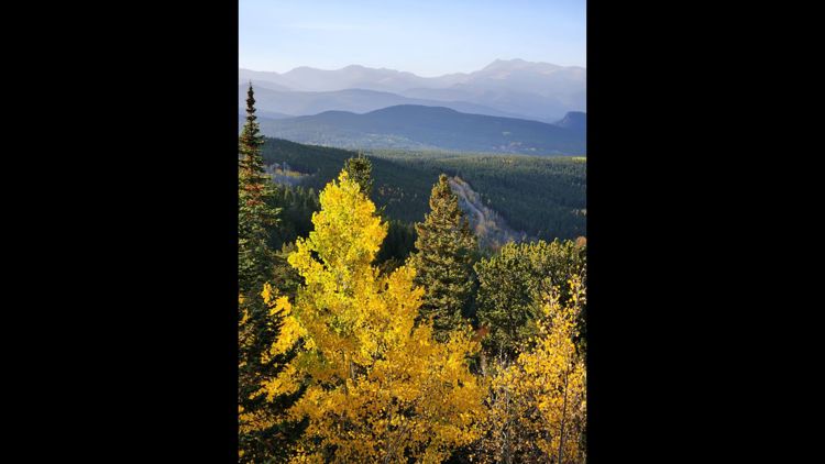
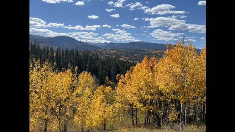
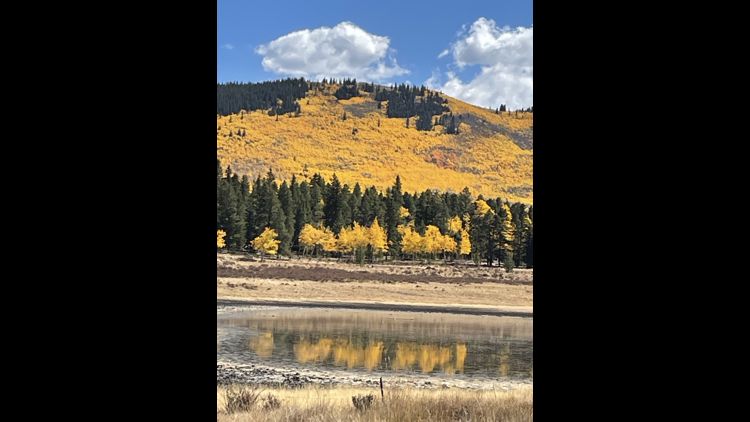
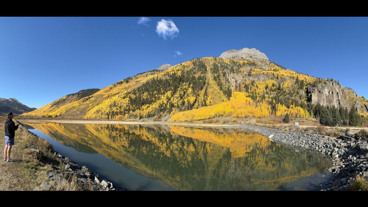
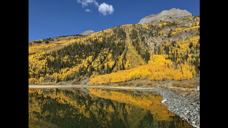
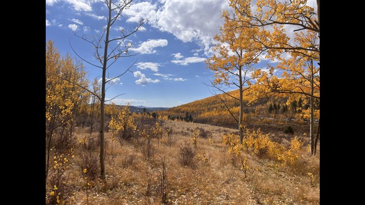
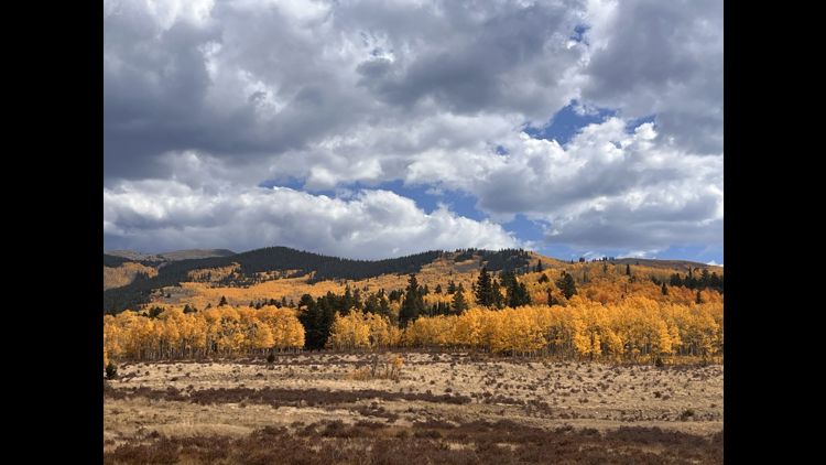
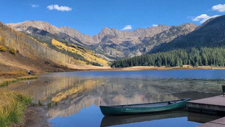
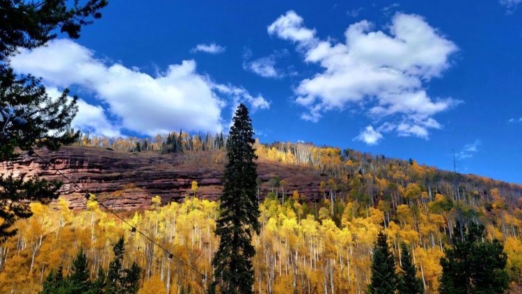
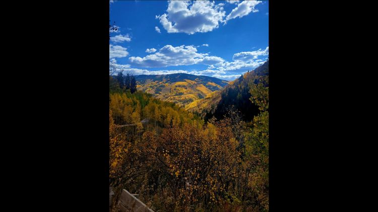
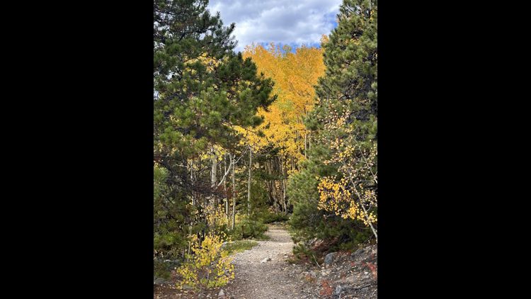
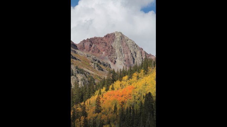
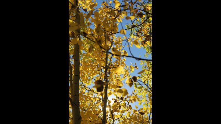
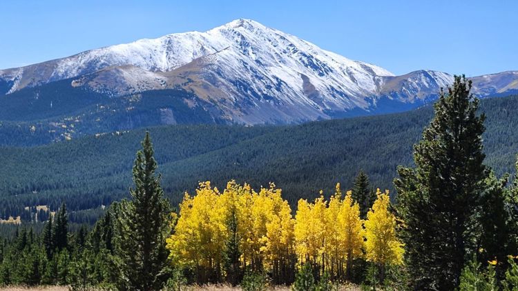
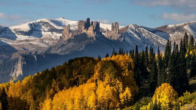
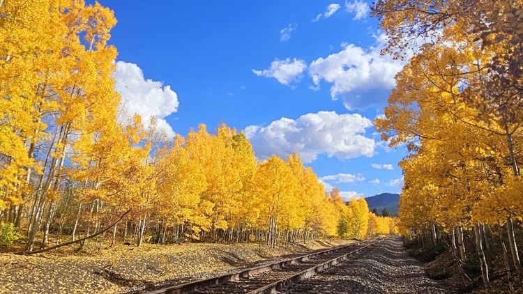
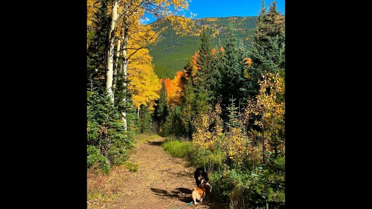
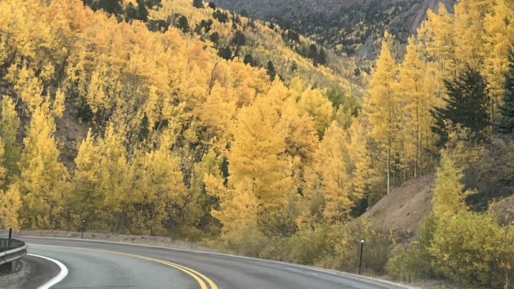
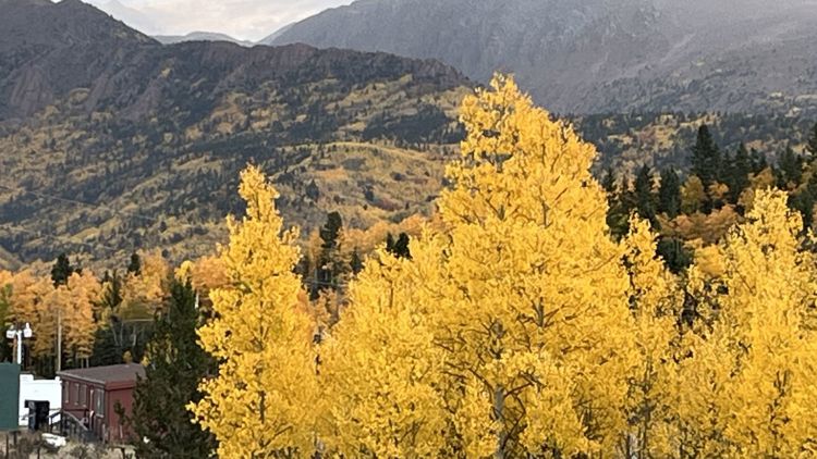
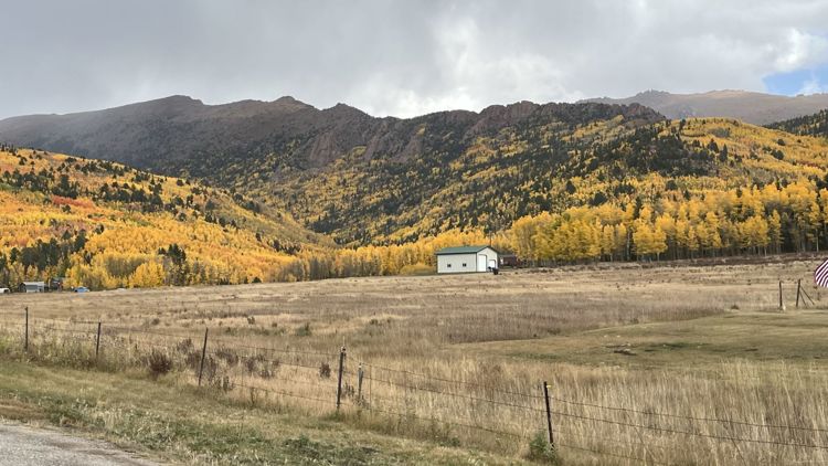
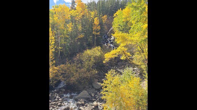
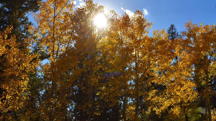
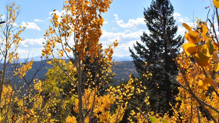
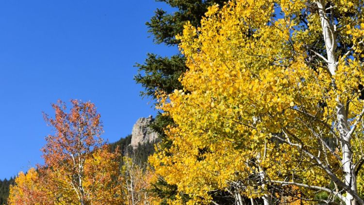
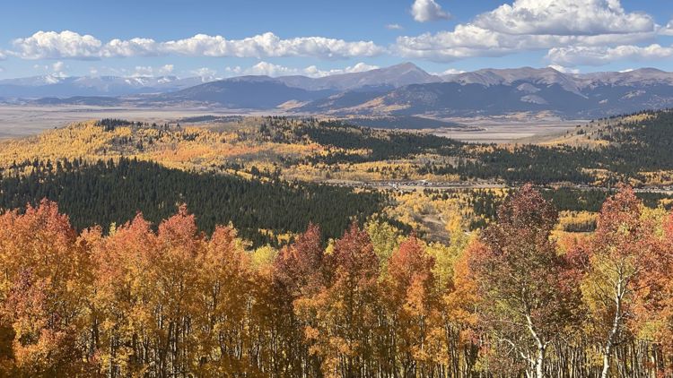
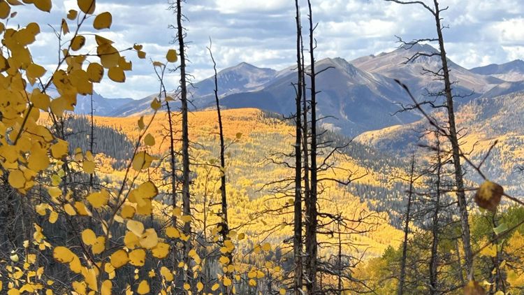
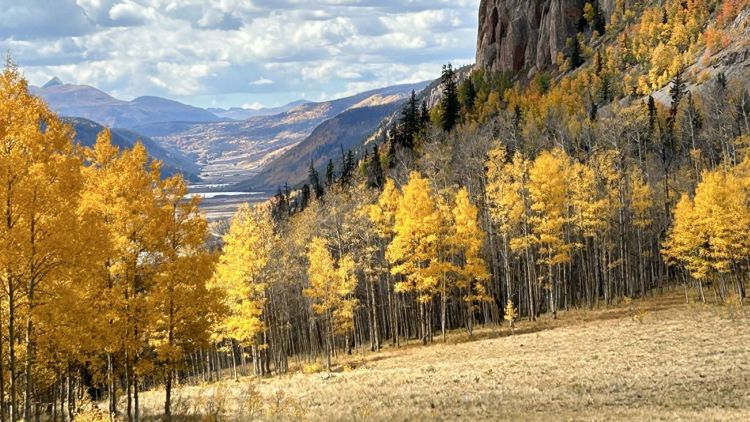
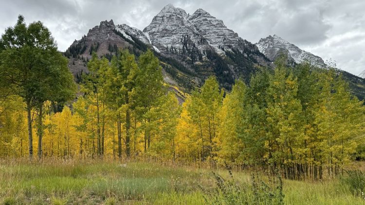
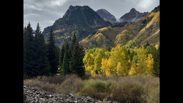
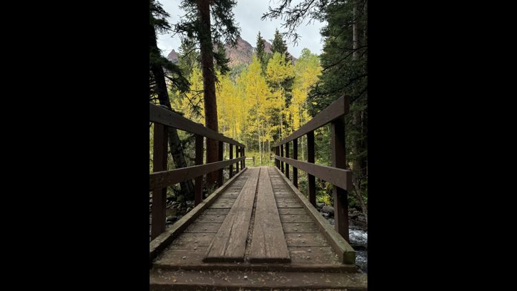
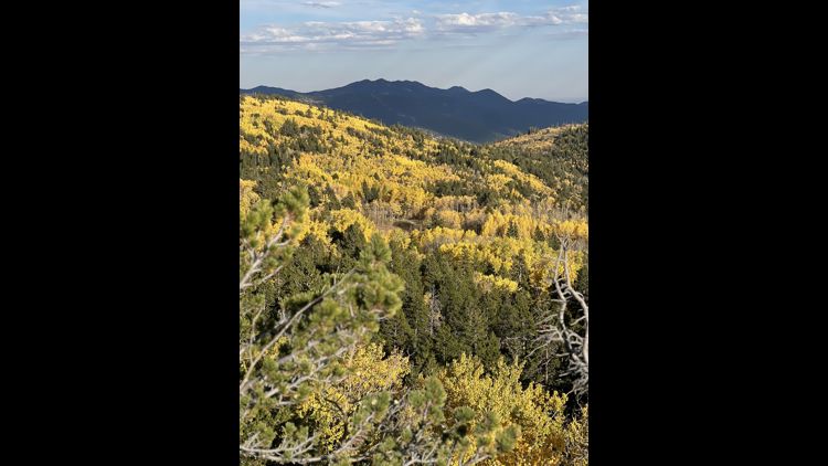
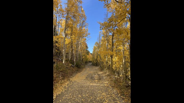
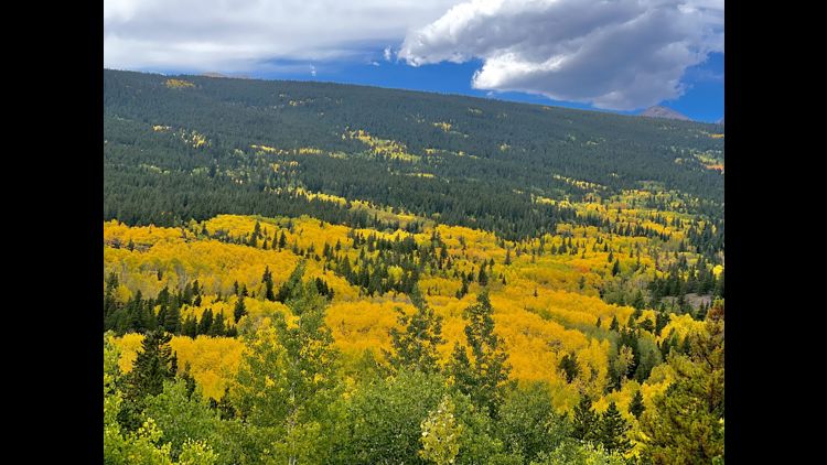
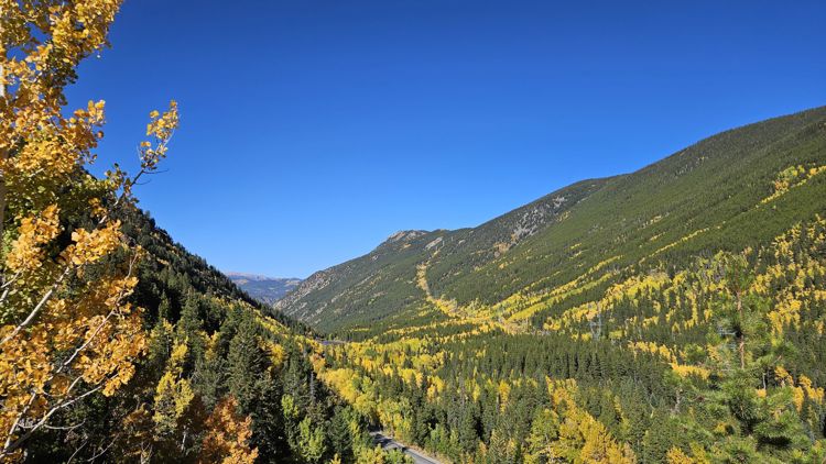
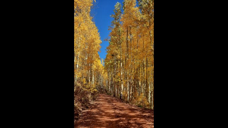
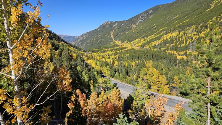
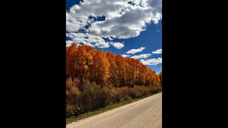
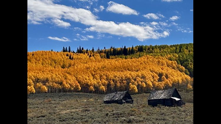
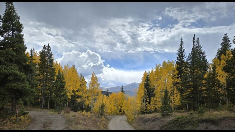
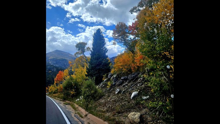
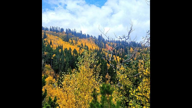
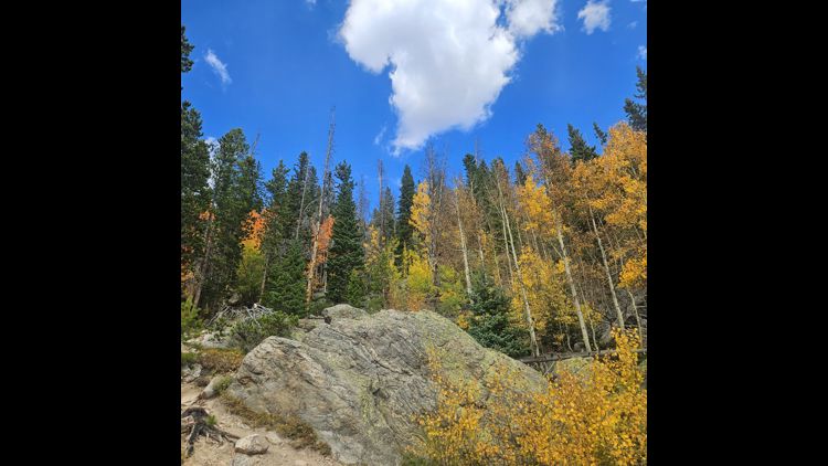
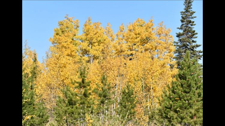
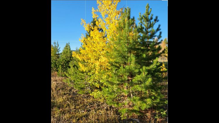
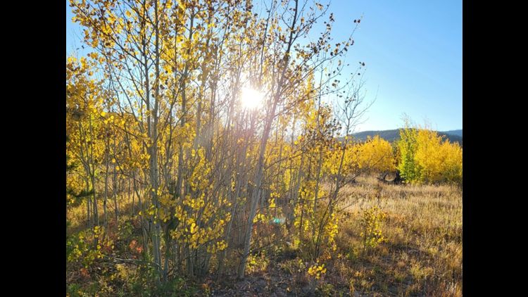
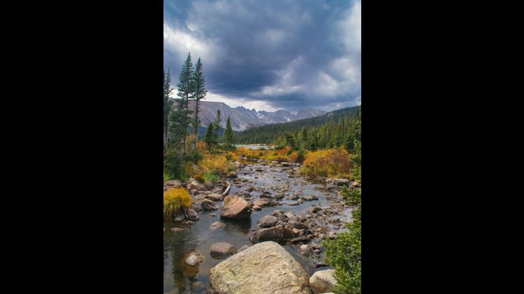
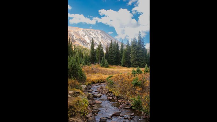
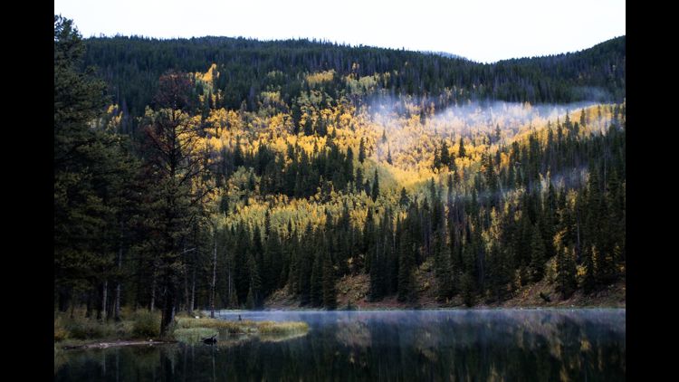
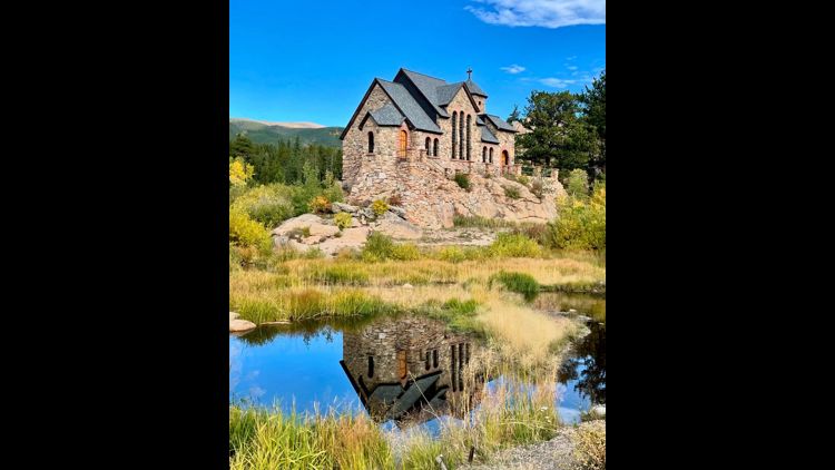
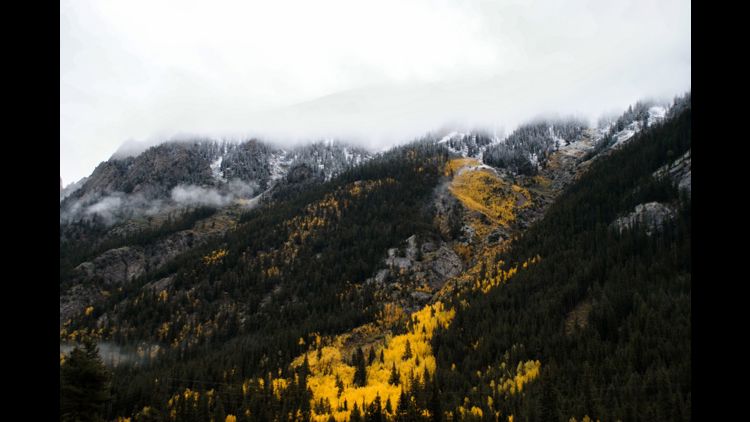
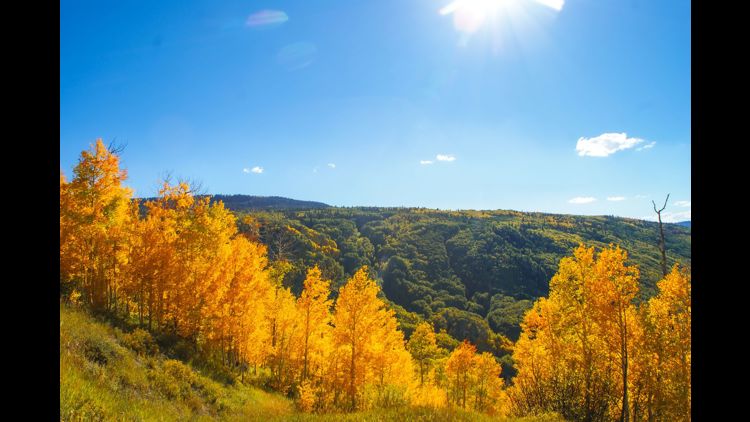
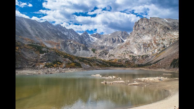
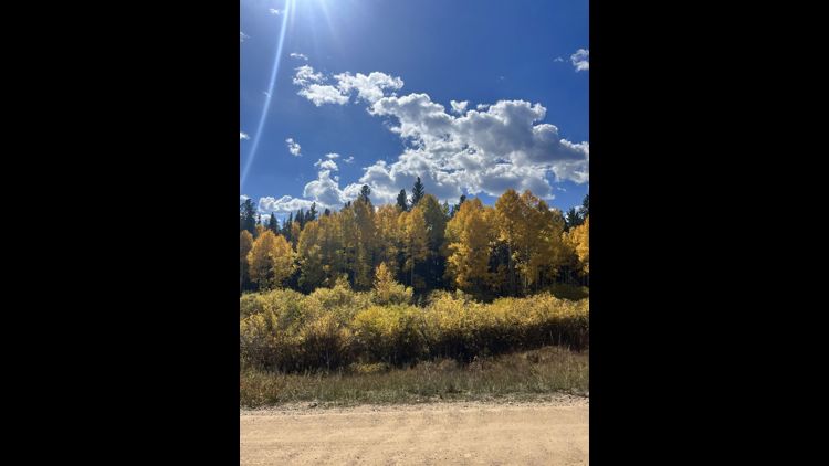
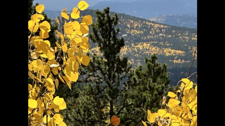
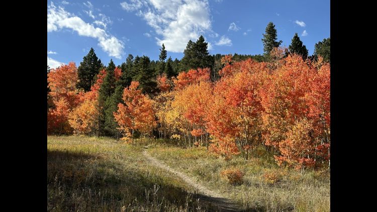
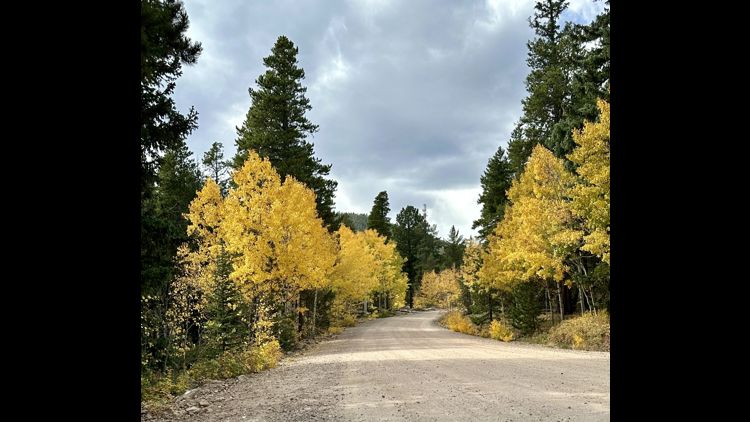
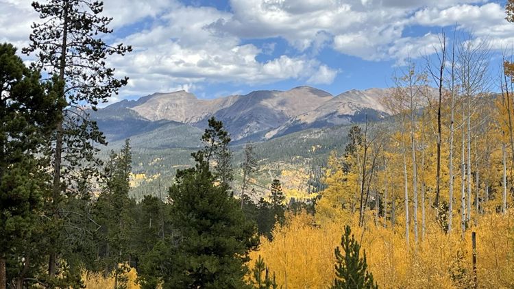
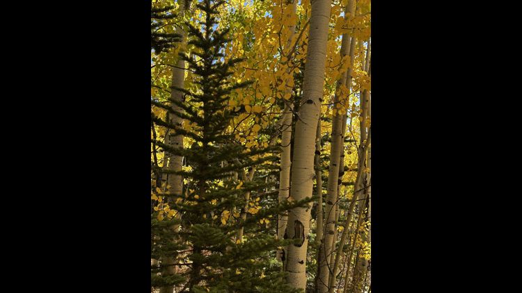
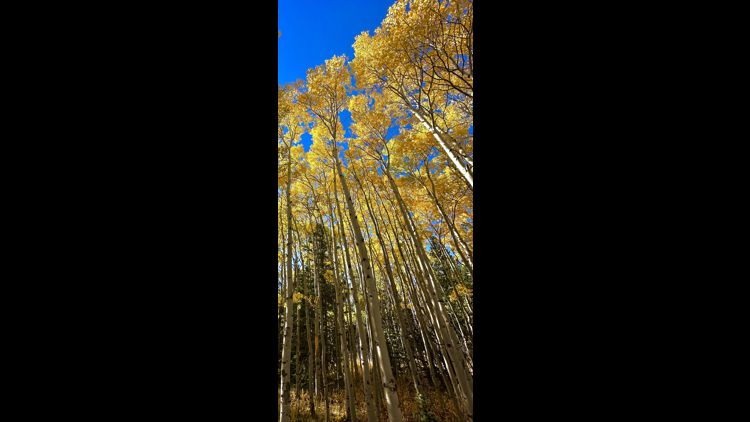
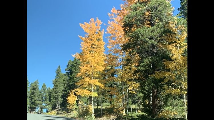
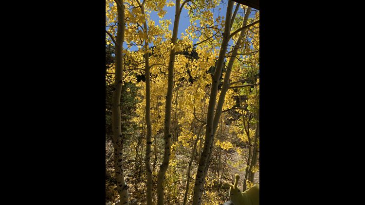
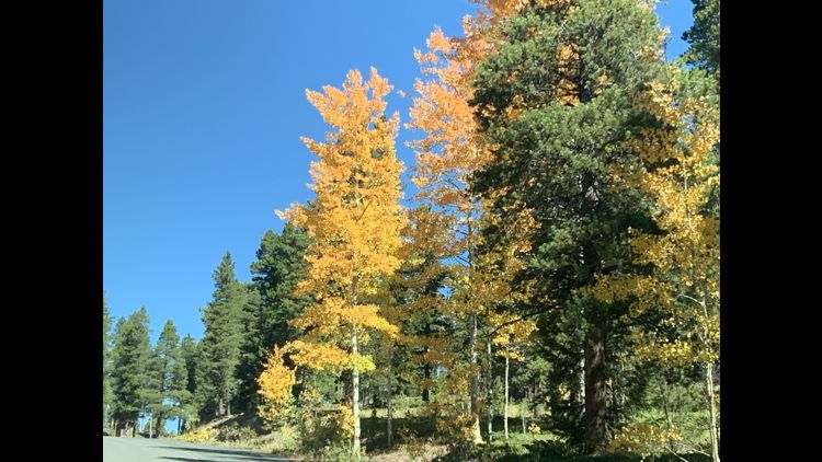
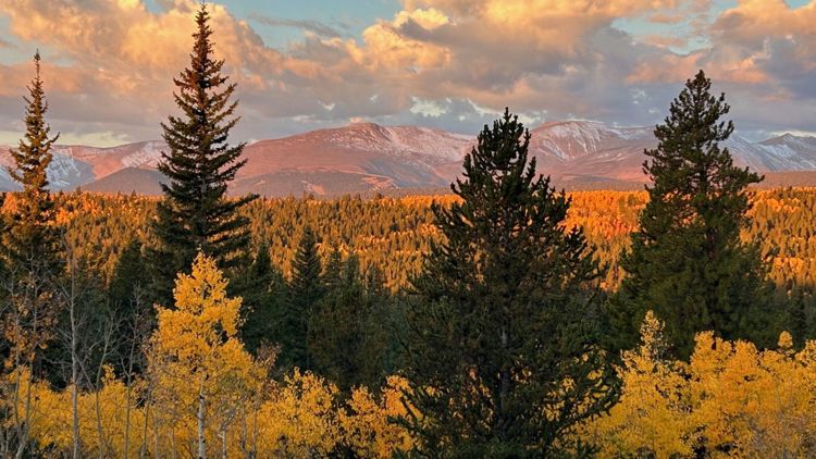
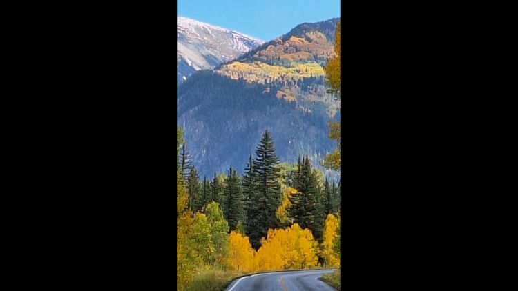
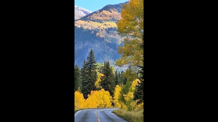
COLORADO, USA — Fall is here and one of the best ways to enjoy its splendor is to take a drive through Colorado's mountains.
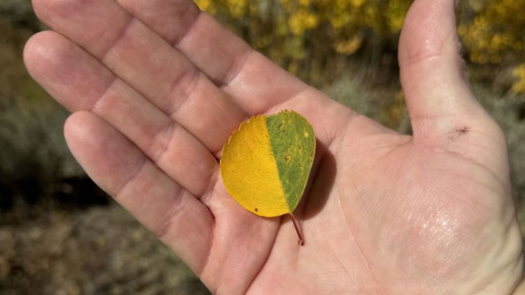
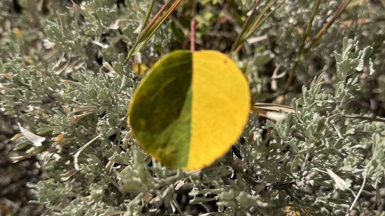
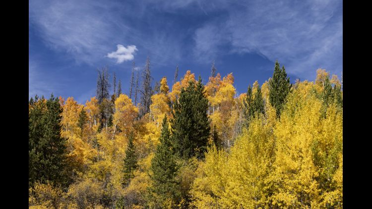
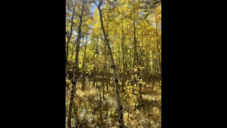
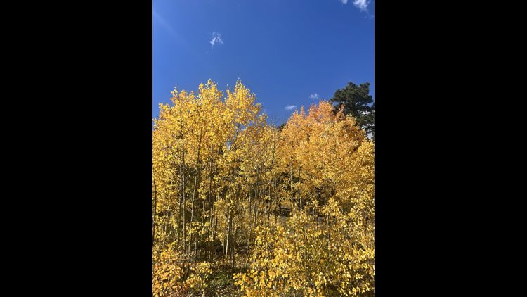
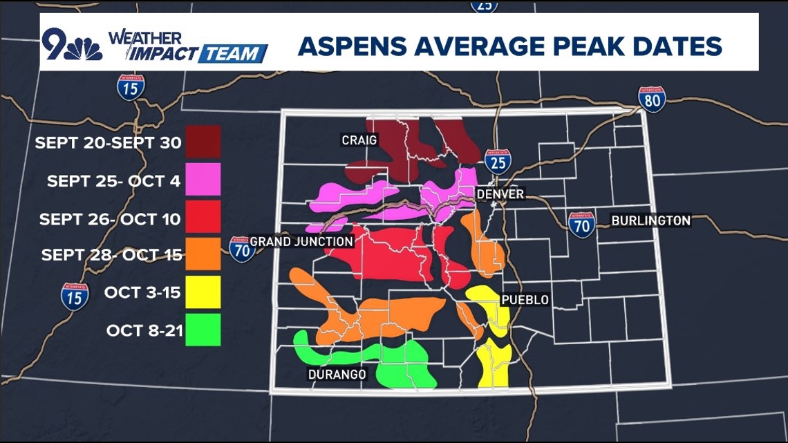
The leaves in northern Colorado typically peak the earliest, and this year, that could be during the last days of September. In 2024, many trees may lose their leaves a few days later than usual.
The central mountains traditionally peak during the last week of September. For Colorado's southern mountains, it’s the first week of October.
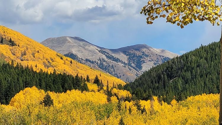
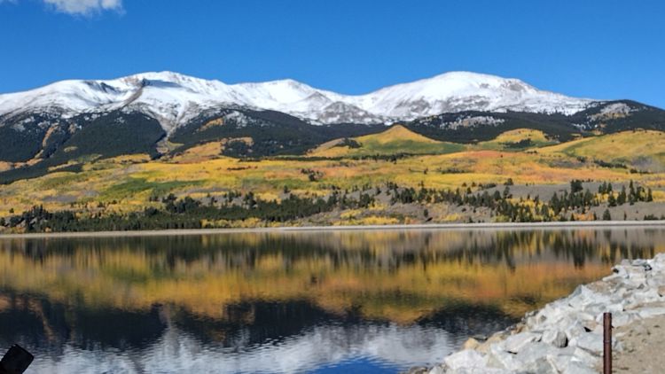
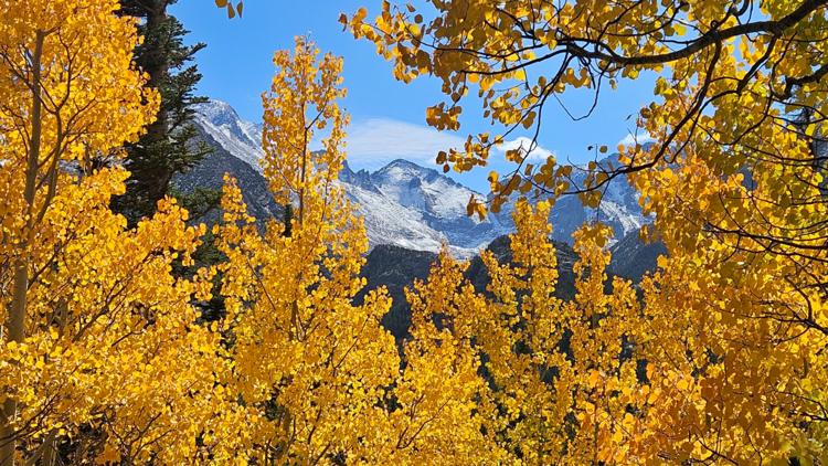
Regardless of whether you're making a day trip from the Front Range or planning a road trip through the state, here are some drives that will allow you to learn once again why Colorado is truly the best place to be in the fall.
Peak to Peak Scenic Byway
The Peak to Peak Scenic Byway is less than an hour from Denver, Boulder and Fort Collins.
The well-known 55-mile-long route showcases views of the Continental Divide that can't be matched. The byway is made up of Highways 7 (in the north), 72, and 119 (in the south). On the way, check out Rocky Mountain National Park, Golden Gate Canyon State Park and much more.
West Elk Loop
This 205-mile West Elk Loop is a ways away from Denver, but the views are worth the haul.
The route gives access to the White River and Gunnison National Forest, the Black Canyon of the Gunnison National Park, Curecanti National Recreational Area, and Crawford and Paonia State Parks.
Heads up: The 31-mile gravel section over Kebler Pass is closed in winter.
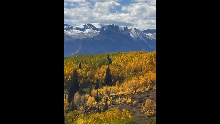
Dallas Divide via Last Dollar Road
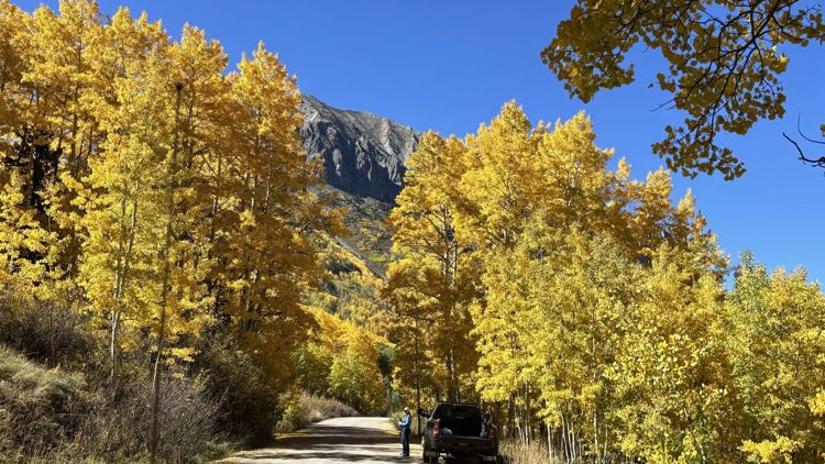
If you find yourself in the southwest portion of the state, this unpaved route spanning from Telluride to Ridgway is not to be missed. Last Dollar Road is about five hours driving from Denver and you can begin your journey (the road is about 40 miles) at either end of the road.
Highlight: A clear view of Wilson Peak, recognizable to anyone who’s ever examined the label on a Coors bottle.

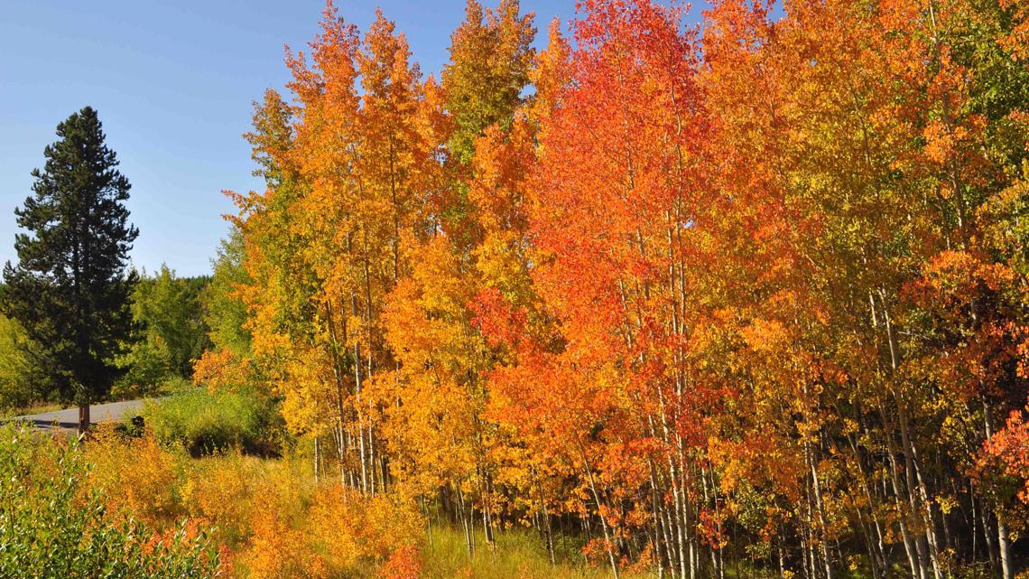
Castle Creek Road
This is a 13-mile paved road in Aspen and Ashcroft, a little less than three hours west of Denver. It dead ends, but people who have made the drive encourage you to pack a lunch and have a picnic at the end.
Heads up: This is a popular road for bikers to see the sights as well, so drive carefully.
Trail Ridge Road
This is Rocky Mountain National Park's "heavily traveled highway to the sky." A two-hour drive from Denver, Trail Ridge Road crests at 12,183 feet.
Heads up: This road does close during the winter, so get your leaf-peeping in early. Be sure to check here before making the drive, as the NPS says the status of Trail Ridge Road can change quickly and at any time. Also check with Rocky Mountain National Park, which requires reservations to enter at certain times.
Bear Lake Road
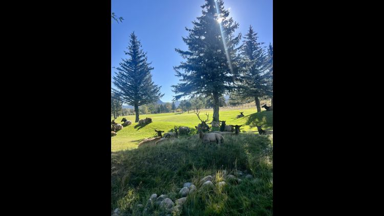
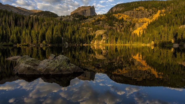
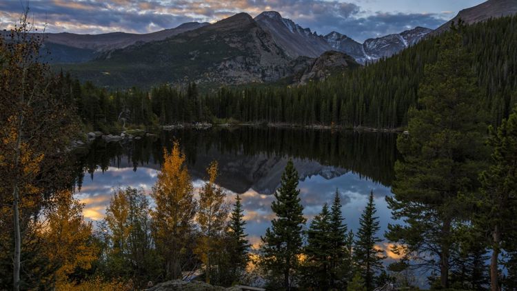
Also nestled in Rocky Mountain National Park, this road leads you to a hidden lake that features a short trail that loops around it. The 23-mile round trip is open year-round. Be on the lookout for foraging elk and other wildlife.
Heads up: People say to go early before the parking lot fills up. And check with Rocky Mountain National Park, which requires reservations to enter at certain times.

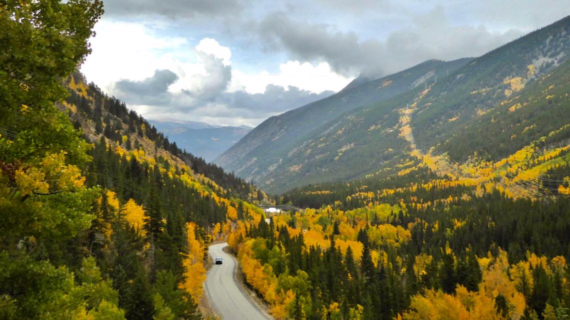
Guanella Pass
Just an hour from Denver, this trek will take you to Georgetown, a town known as the "Silver Queen of the Rockies." The 23-mile route is one of the most popular places to view fall leaves.
Heads up: People who have traveled here before say there are some tight turns and horseshoe curves, but all cars should be able to negotiate the road.
Mestaa’Ėhehe Pass
Short on time? This scenic drive is for you. Beginning in either Idaho Springs or Evergreen (which both have quaint downtown areas), you'll see Echo Lake and pass Mount Blue Sky.
Top of the Rockies byway
The 115-mile Top of the Rockies scenic byway is filled with wildlife you may have never seen before. You'll be surrounded on all sides by 14ers.
It takes approximately three hours to drive, although you may allow more time for stops and photo opportunities. The byway includes Independence Pass, a seasonal road typically open from Memorial Day to Nov. 1.

Share your photos
There's nothing like fall in Colorado and we want to highlight your photos.
To submit a photo or video, share it with the 9NEWS app's Near Me feature.
- Open the 9NEWS app on your smartphone.
- On the bottom right, you'll see a button called "Near Me"—click it.
- Click the orange button in the top left part that says "Share with Us."
- Upload your photo or video directly from your device.
- Fill out the fields: give it a title, a credit, your email, and tell us where it was taken.
- It will then be reviewed and could be used on 9NEWS and 9NEWS.com!

