
COLORADO, USA — Highways across northeastern Colorado remained closed Wednesday morning but the National Weather Service said on X that there was "gradual improvement" in conditions.
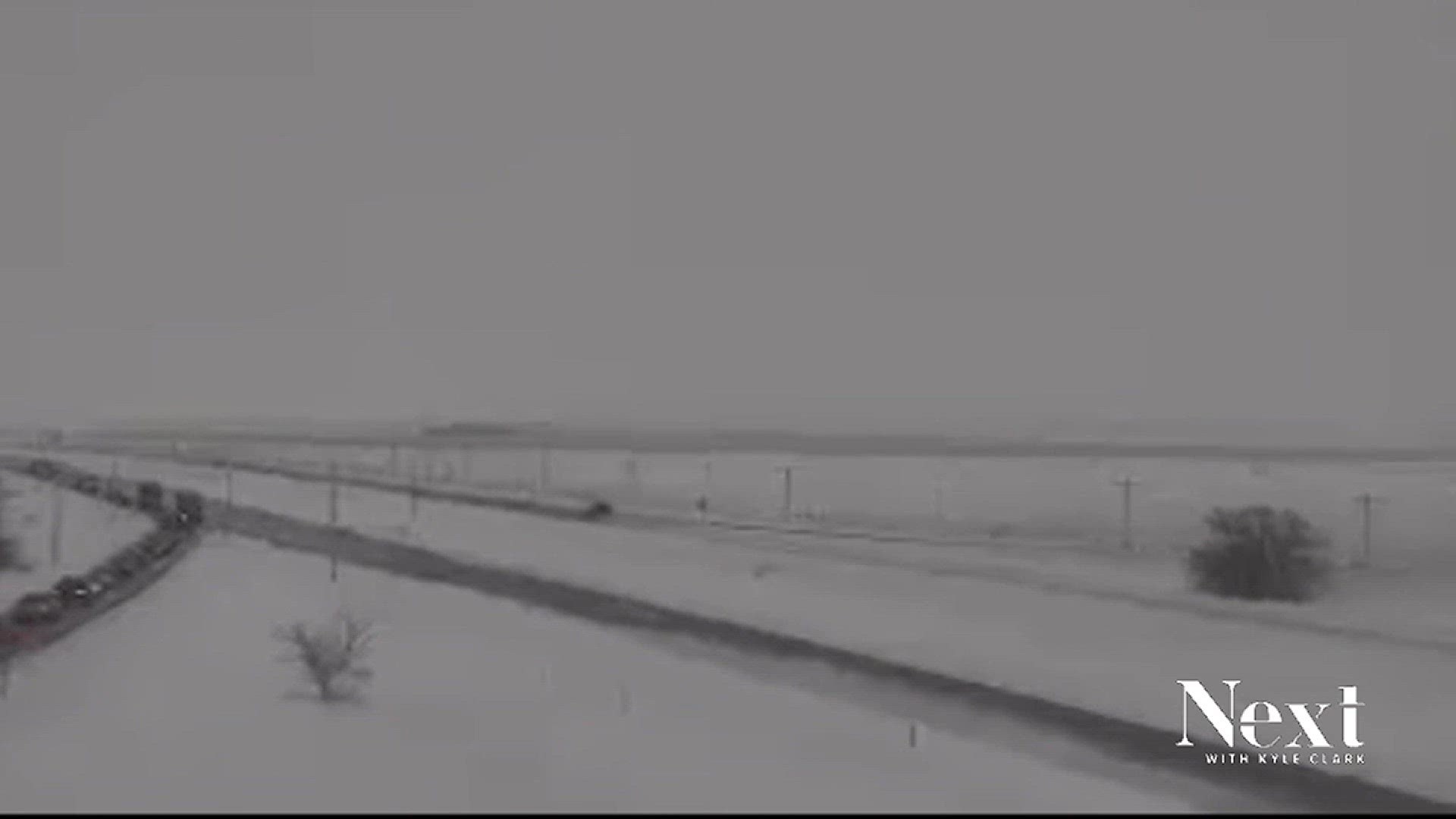
Blizzard and high wind warnings were issued for most of Colorado's eastern plains and along portions of the Front Range on Tuesday. That means travel was extremely difficult, if not impossible on Tuesday east and south of Denver. A combination of heavy snow and strong winds meant whiteout conditions on Interstate 25 south of Denver and on Interstate 70 and Interstate 76 east of the city.
The NWS said snow was expected to taper off late Tuesday and diminish to flurries by Wednesday morning. According to CDOT, the following roads were closed, as of 5:30 a.m. Wednesday due to adverse conditions
- I-76 eastbound from Brush to Nebraska
- US 6 eastbound from Sterling to Nebraska
- US 24 both directions from Seibert to Kansas
- US 34 both directions Brush to Nebraska
- US 36 both directions from Last Chance to Kansas
- US 138 eastbound from Sterling to Julesburg
- US 385 in both directions from Cheyenne Wells to Nebraska
- CO 59 in both directions from Haxtun to Yuma
- CO 59 in both directions from Seibert to Cope
- CO 61 in both directions from Otis to Sterling
- CO 63 in both directions from Akron to Anton
- CO 71 in both directions from Limon to Brush
Snow was also falling early Tuesday across the Denver area. A Winter Weather Advisory is in effect for the Denver metro area until 9 a.m., with 1 to 3 inches of snow expected. The heaviest snow will fall from Denver into southern Aurora, Parker and Highlands Ranch, according to the National Weather Service.
The National Weather Service in Boulder said the warnings began Christmas afternoon and will be in effect until Wednesday morning.
Bianchi said this is due to the storm system that brought snow and cold temps to the Denver metro area and mountains is "retrograding." He said that means the front that passed through is backing back into the south and west because there isn't anything aloft steering it.
The areas under the blizzard warning include the counties of:
- Douglas (Palmer Divide along Interstate 25 and east)
- Arapahoe (eastern portion)
- Adams (eastern portion)
- Elbert
- Sedgwick
- Washington
- Phillips
- El Paso (north and eastern portion)
- Most of Lincoln
- Kit Carson
- Kiowa
- Yuma
The National Weather Service's forecast calls for those above areas to get between 2 and 9 inches more of snow, but the main issue will be sustained winds in the 29-35 mph range with gusts up to 60 mph blowing the snow, dropping visibilities and creating whiteout conditions.
Colorado State Patrol said road conditions are deteriorating and they're asking people not to drive in the areas under the blizzard warning.
The NWS also issued High Wind Warnings for eastern Larimer, northern Weld, Logan and Morgan counties.
SUGGESTED VIDEOS: Severe Weather