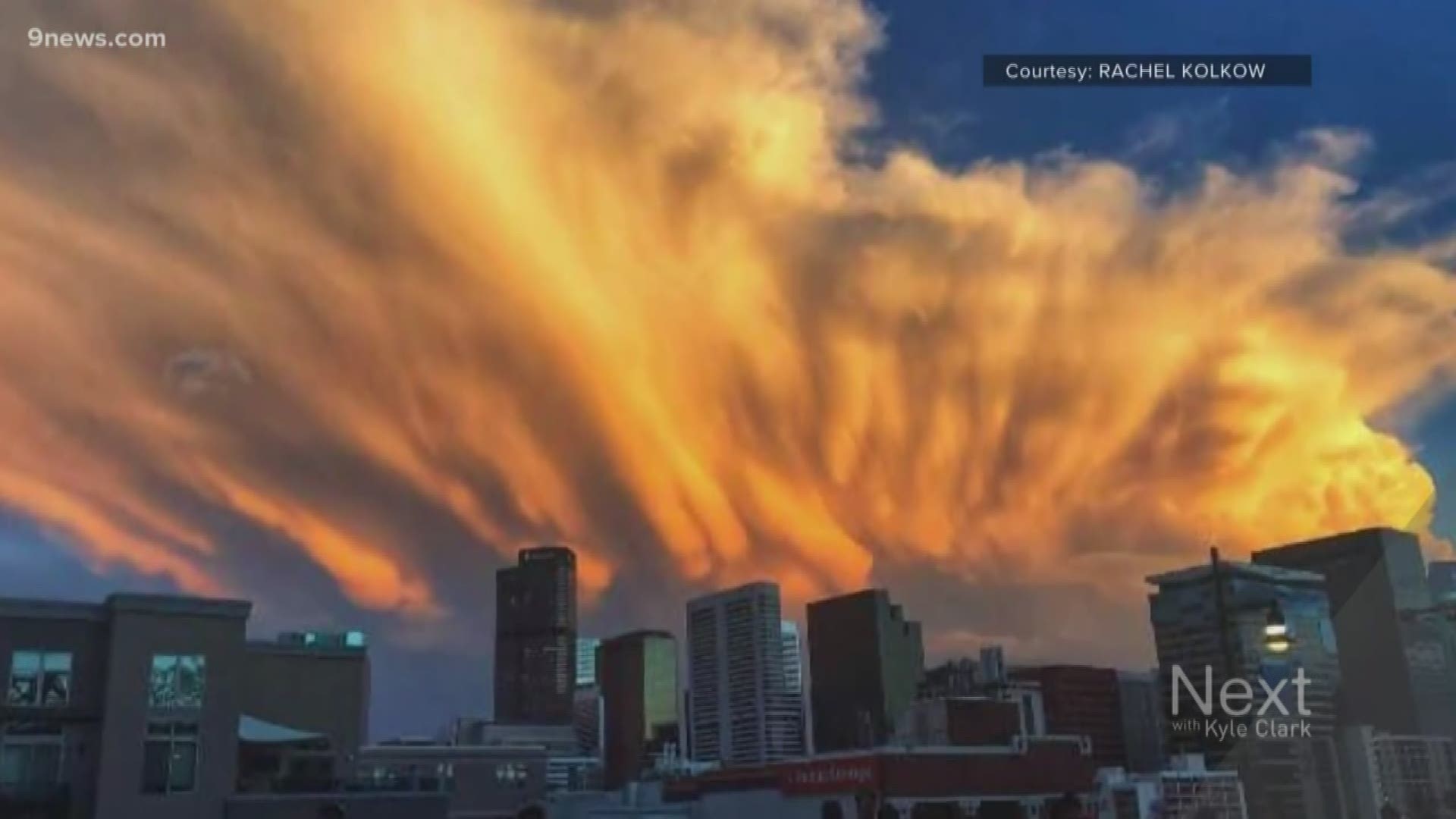
COLORADO, USA — Twice this week, a mysterious cloud formed above the Denver metro area.

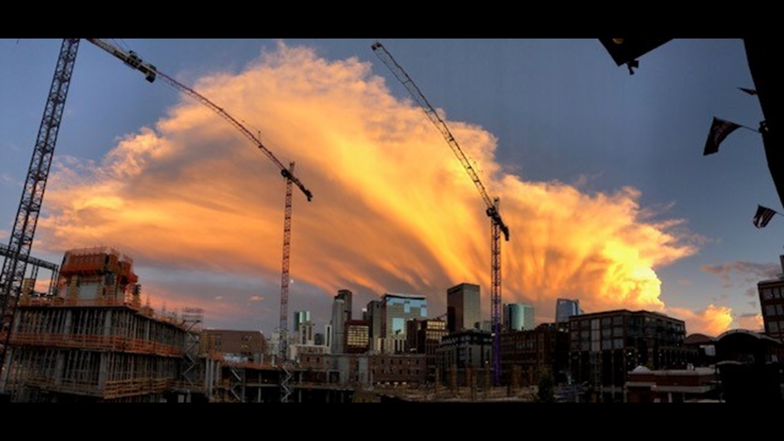
First on Monday night, and then again on Tuesday.

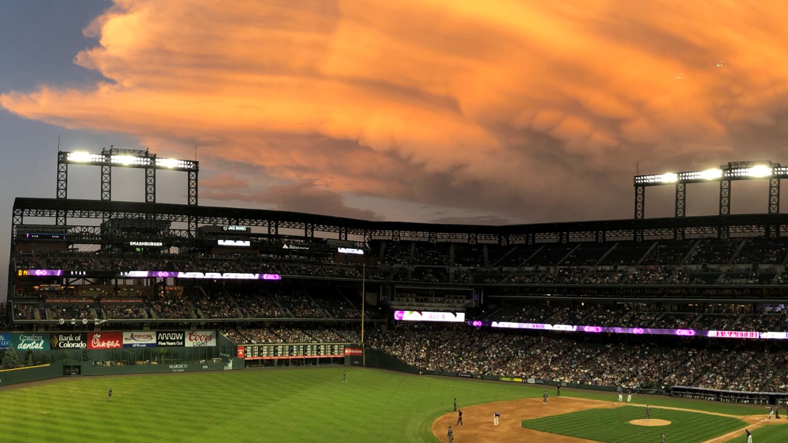
They are called Cumulonimbus Clouds, also known as thunderstorms.


They were in the decaying or dying phase when they really got interesting. And everybody in the metro had a front-row seat. 9NEWS received photos from as far west as the Gilpin County foothills, as far north as Mead and as far east as Deer Trail.

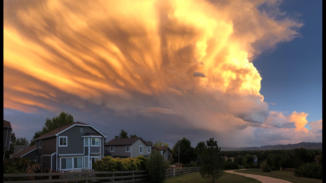
When a thunderstorm is collapsing, the ice crystals, snow and graupel at the very top of the cloud start to fall and evaporate.
“It Almost always evaporates before it hits the ground, and that’s why it kind of leaves a little whispy trail, and then it’s gone before it hits the ground,” said National Weather Service meteorologist Paul Schlatter.

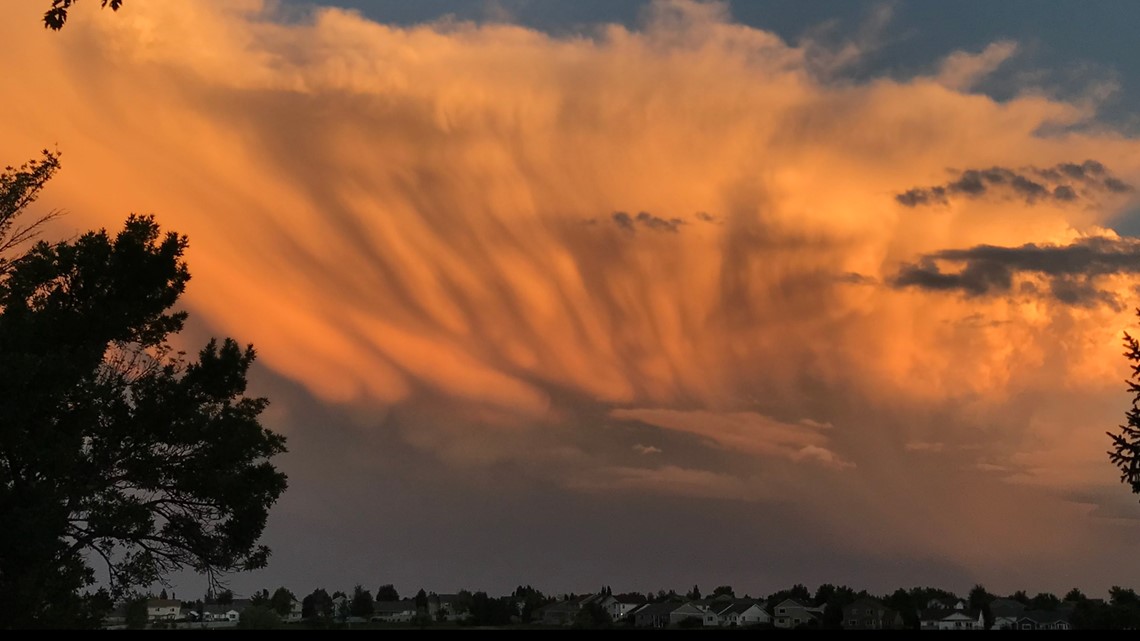
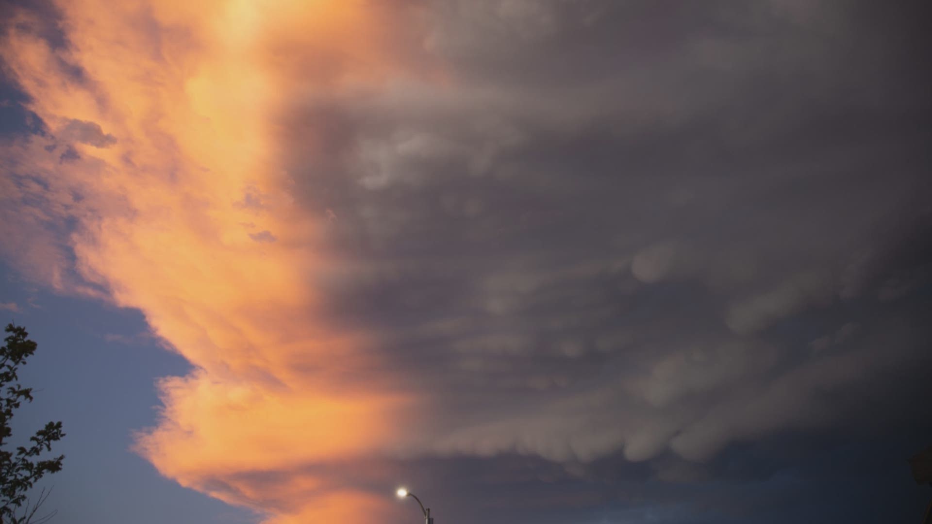
That’s not the only fascinating structure to this sky candy. Check out those fluffy, pillowy bubbles. These were also spotted on the Eastern Plains several times this week.

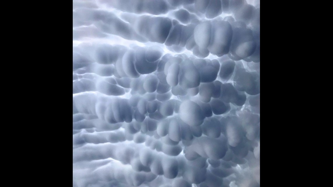
“When the air hits the top of the atmosphere where we have our weather, it spreads out into what we call an anvil cloud," Schlatter said. "When it’s strong enough, sometimes that sinking air in the anvil cloud, on the underneath side, makes those little bubbles that we call mammatus.”


Those Mammatus clouds were well-captured by 9NEWS viewers on the plains and on the Front Range, but when caused them to form?
“The interesting thing about mammatus clouds is that researchers, the people that study these things, there’s conflicting theories on how those clouds actually form," Schlatter said. "What we know for sure is that it needs pretty strong convection to generate that anvil, and it’s something to do with the sinking precipitation.
Schlatter said it likely takes the right kind of graupel, with just the right mix of temperatures and turbulence to create mammatus clouds.


The one thing that’s true of all of it is the sinking motion in the anvil of a thunderstorm.
And this all has been happening right at sunset, too.
Well played, Mother Nature.

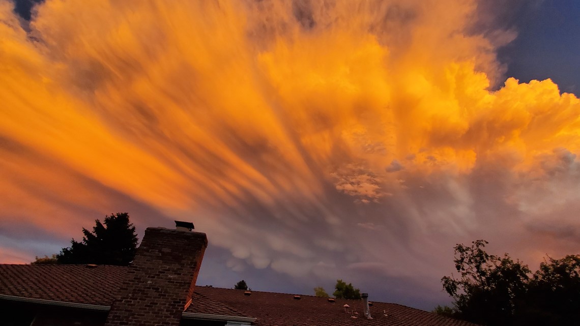
“Once that lights up with orange and the pinks, it’s unbelievable. Some of the best things I’ve seen in Colorado,” said Schlatter.


Mammatus is often associated with bad weather, although neither of the Front Range storms were severe. The good news for you, if you see mammatus, is that the storm is already passed, because it usually forms on the backside of the storm.

