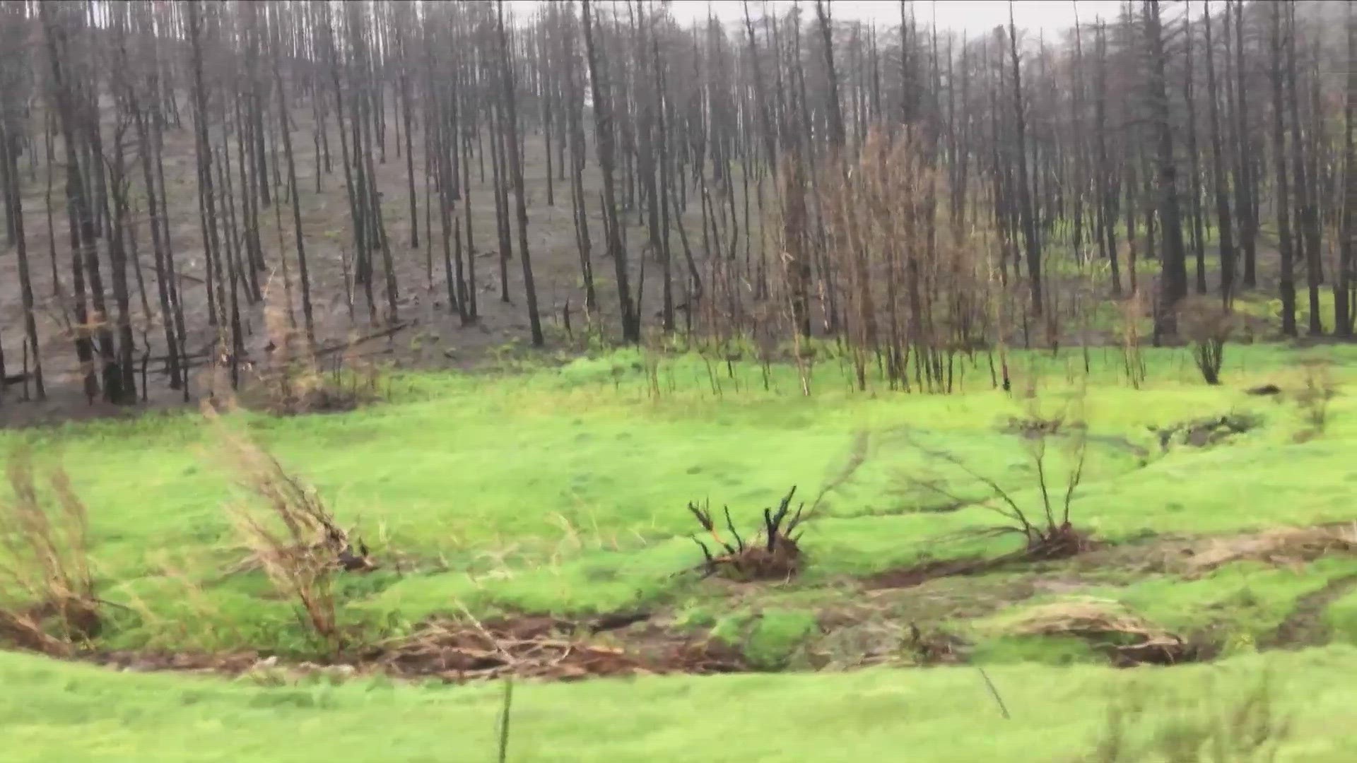
BOULDER, Colo. — The burn scars from 2020 will get their first test of the season this week as rain showers will be possible Tuesday through Saturday. The storms will be just big and slow moving enough to cause flash flooding.
The rain showers will develop just after noon Tuesday bringing the possibility of rain over the Cameron Peak, East Troublesome, and Williams Fork burn areas.
On Wednesday night, the showers might be more isolated, but then will likely ramp back up on Thursday.
The National Weather Service (NWS) said they have seen some healing in the 2020 burn scars with vegetation growth and soil stabilization but burn scar flooding can remain possible for up to 10 years after a wildfire.
“So, we generally try to go a little more conservatively in terms of how we are adjusting our yearly criteria for burn scar flooding," said Greg Heavener, the Warning Coordination Meteorologist at NWS Boulder. "This year we are expecting to have a slight increase [in thresholds], so not as susceptible as the past couple of years with a fresh burn.”
He said it will take slightly more rain to cause a flash flood this year compared to the last two years, but we’re still looking at the potential of just light rain causing big issues.
“Generally speaking, we are looking at about four-tenths to a half inch of rain in about 15 or 20 minutes across the majority of our burn scars," he said. "And that’s going to be adjusted almost daily to an extent depending on how large of an area the heavy rain is impacting across those burn scars.”
The NWS office in Grand Junction handles the Grizzley Creek burn scar in Glenwood Canyon. They said there also has been some healing there, but they are still considering that burn area to be a high flash flood risk due the steeper and rugged nature of the terrain.
Heavener said NWS Boulder will issue a daily burn scar flash flood matrix identifying the flash flood potential over the next three days. Tuesday and Thursday are listed as Limited threats, which means only a few isolated thunderstorms will be capable of causing flood issues.
Heavener said NWS Boulder will be removing the Calwood burn scar from the flash flood matrix this season because they feel that its healed enough and there were enough events last year that didn't produce major impacts.
Snow Melt Flooding
There will also be the potential for snow melt flooding on the western slope Tuesday through Saturday.
A Flood Watch is in effect for the Yampa River Basin of northwest Colorado, including the main stem of the Yampa River and associated tributaries across Routt and Moffat Counties.
Excessive runoff may result in flooding of rivers, creeks, streams, and other low-lying and flood-prone locations. Creeks and streams may rise out of their banks. Flooding may occur in poor drainage and urban areas. Low-water crossings may be flooded. Storm drains and ditches may become clogged with debris.
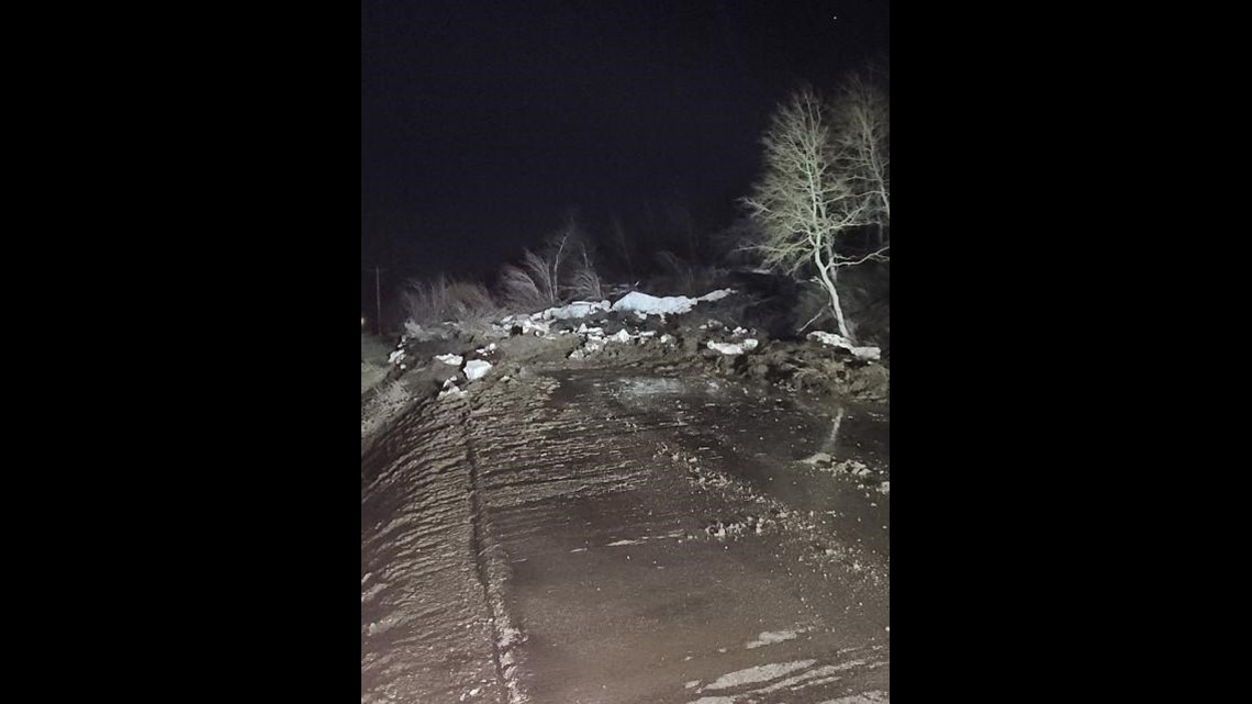
The snow melt could also cause trouble before it even reaches the streams and rivers. A large mudslide was reported on Routt County Road 129 south of Clark near Fetcher Ranch early Tuesday morning.


There is also a Flood Warning in effect until further notice for portions of the Dolores River from the confluence with the San Miguel River in western Colorado to the confluence with the Colorado River in eastern Utah, including the town of Gateway, CO.
The flooding is being caused by snow melt along with water releases from the dam at McPhee Reservoir.
NWS Grand Junction said the flooding of rivers, creeks, streams, and other low-lying along the Dolores River is imminent or occurring. Several low-lying river crosses and river side campgrounds may become inaccessible or inundated with water.
SUGGESTED VIDEOS: Latest from 9NEWS

