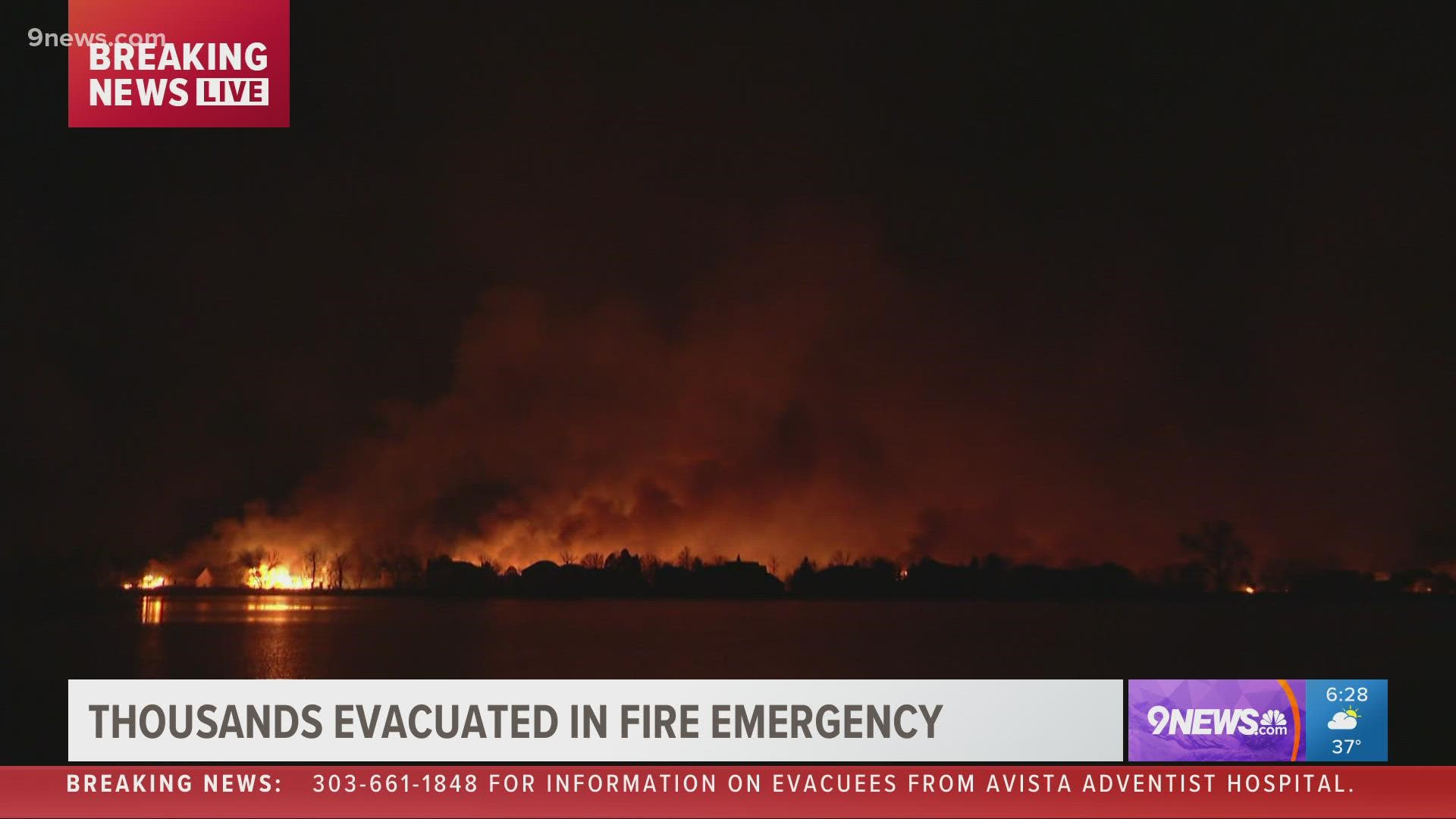
DENVER — The date Dec. 30, 2021 will likely be forever etched into Coloradans' collective memories for a historic and devastating wildfire just hours before the start of the new year.
Thursday saw a massive suburban wildfire in the heart of winter, just hours before the start of a new year. It's not something anyone would've thought possible, considering the typically cold and snow-covered time of year.
But starting late Thursday morning, plumes of smoke covered the skies of the Denver and Boulder areas as huge grass fires exploded across Superior and Louisville, whipped and fanned by 100+ mph winds.
There are a lot of reasons why huge fires engulfed Superior and Louisville neighborhoods just a few days after Christmas. But it all starts and ends with a prolonged drought that followed an exceptionally wet and snowy spring.
Thursday's windstorm was simply the final match after a long series of events led to this unprecedented tragedy.
That said, there were warnings: A fire earlier this week that briefly forced evacuations near C-470 and Kipling. A long, growing drought fueled in varying parts by a warming climate, a relentless La Niña and short-term weather patterns led to day after day of high fire danger across eastern Colorado deep into November and December.
The story of Thursday's fire, though, likely begins in the unlikeliest of places: Our exceptionally wet (and snowy) spring. The seemingly relentless waves of moisture that struck Colorado during March, April and May seemed like a victory at the time, and they were. They likely saved us from what probably would've been a horrific summer of wildfires.
But all that moisture helped vegetation blossom during the late spring and early summer. When this summer and fall's drought kicked in, it created fuel for Thursday's fires.
Colorado assistant state climatologist Dr. Becky Bolinger tweeted about the rapid growth of spring vegetation and how it played a significant role in setting the stage for Thursday's fires.
Think of Bolinger's tweet this way: the wet spring was the firewood. Our dry summer and fall served as the match. And Thursday was the match striking the firewood.
Since Aug. 1, Boulder's picked up less than a quarter of its typical rain and snow over that five-month time period. Most of the Front Range is similarly parched, despite the recent bounty of moisture in the mountains.
That has much of the Denver-Boulder urban corridor locked into a severe or extreme drought, a stunning reversal from this spring's moisture overload. It meant that our snow-covered open spaces were brown clusters of vegetation, sitting ducks for any possible spark.
That spark came on Thursday afternoon in the form of bone dry 100+ mph winds. Authorities said on Thursday they believed that downed power lines started the fire.
But with such strong winds and such dry land, there was little firefighters could do to stop the blaze's relentless forward march.
While Coloradans typically think of summer and early fall as our so-called fire season, Thursday served as the harshest reminder that fires can strike here any time of year.
As the climate warms and potentially leads to more frequent and severe droughts in Colorado, this may not be, unfortunately, the last time we deal with a fire of this magnitude. Worse off, unless we get into a prolonged wetter pattern, we'll probably have more waves of increased fire danger later this winter.
At least in the near-term, though, there is some good news in the form of snow and cold that'll move through the Front Range on Friday. That should bring a temporary bout of relief for much of the fire-affected area.
But over the longer term, one of the meteorological takeaways from Thursday should be to axe the saying "fire season" out of our collective mouths.
Fire season in Colorado, as we found out the hard way on Thursday, is an increasingly year-round proposition.
SUGGESTED VIDEOS: Wildfires in Colorado

