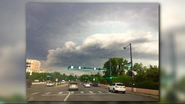
Another round of strong to severe storms is likely today
That may get you wondering: What's causing it?
Moisture levels -- the water vapor content in the air -- are very high once again. The dewpoint in Denver at 10 a.m. was 60 degrees, a high for the city.
Another measurement of water vapor is precipitable water. In the morning balloon launch, that value was almost 1 inch and is expected to rise close to 1.5 inches later today. The National Weather Service each day launches a balloon with a sensor to measure the layers of the atmosphere.
Both those numbers are very high. It's a result of monsoon moisture being guided around an area of high pressure that seems to be pinned in the desert southwest.
So the moisture is there, what about a trigger for storms?
There is a little bend in the jet stream called a shortwave that will be moving over northeastern Colorado this afternoon. That will provide the greatest lift for storms.
There is also a little cool air aloft after a front moved through. That will allow storms to build more freely.
How will that impact today's weather?
The thunderstorms will build initially over the higher terrain, probably starting between noon and 1 p.m. Heavy rain and lightning will be possible with those first storms.
Then storm motion will be generally from west to east, so storms will start to move out on to the plains. It may take a while for there to be enough instability for storms to maintain themselves off the foothills, so the greatest threat of thunderstorms along the I-25 corridor and the Denver metro will likely be between 2 p.m. and 5 p.m.
Storms in the metro area could become severe, with hail larger than one inch, but the greatest threat will be heavy rain leading to flash flooding, damaging wind gusts and cloud-to-ground lightning strikes.
There were no watches in place currently, but there could be a Severe Thunderstorm Watch issued at some point early this afternoon.
Storms will continue out east where the atmosphere is even more conducive for severe weather.
As the storms continue to fire to the east, there may be outflow winds that get pushed back to the west. These boundaries can often spark a second wave of thunderstorms in the metro areas.