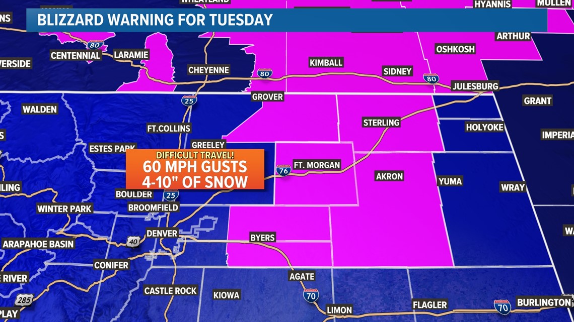
STERLING, Colo. — Most of Colorado's eastern plains are under a Blizzard Warning for Tuesday.
That means they're going to get a lot of snow, right?
Not necessarily.
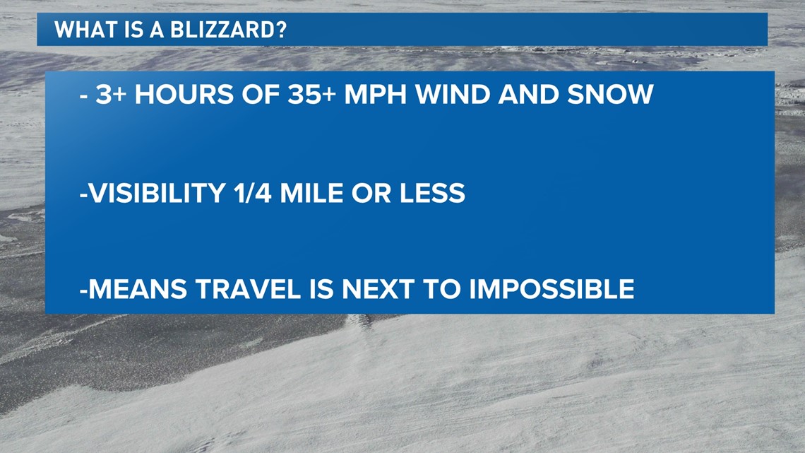
A blizzard isn’t about how much snow falls, but how high the wind is and how low the visibility is.
According to the National Weather Service, in order for a storm to be called a blizzard, winds or gusts must be 35 mph or higher. There must be blowing snow or considerable falling snow that causes visibility to be less than a quarter of a mile. These conditions must last three or more hours to be considered a blizzard.


In other words, a blizzard is essentially all about travel. Stronger winds and lower visibility make a blizzard a blizzard -- and not the amount of snow that can or could fall.
Winds could gust up to 60 mph on the northeast plains on Tuesday, and coupled with heavy snow and low visibility, it'll make travel on both I-70 and I-76 next to impossible on Tuesday. It'll likely also have significant impacts on operations in and out of Denver International Airport on Tuesday, especially during the morning.


The heaviest snow and wind could pivot close to Denver, although the strongest snow and wind will likely stay just east of the city. It'll be a sharp gradient between the east and west sides of the city.
The storm should clear on Tuesday night, leading to improved travel conditions east of Denver for Wednesday.
SUGGESTED VIDEOS: Colorado Climate

