KUSA — Windshields were shattered, roads turned into rivers and ominous clouds loomed above houses after a severe storm swept through the Front Range and into the Eastern Plains Tuesday afternoon.
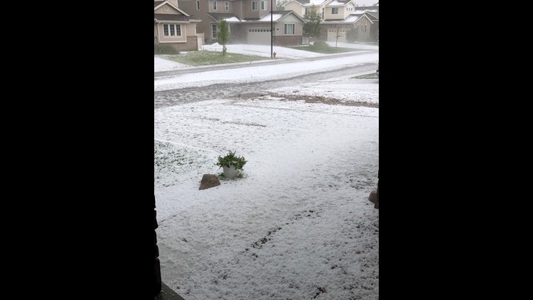
The storm developed over the foothills and moved east. Up to ping pong-ball sized hail was spotted across the Denver metro area on Tuesday afternoon, with additional reports of hail that was the size of golf balls or even baseballs.
What the hail? Storm hits Colorado
The National Weather Service enacted a TORNADO WATCH for a large swath of Colorado east of Interstate 25 that will remain in place until 7 p.m.
Multiple tornado warnings were issued over the course of the afternoon, including in Arapahoe, Elbert and Weld counties.
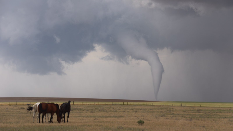
There was a confirmed twister in southeastern Weld County earlier in the afternoon, and then one near Limon Tuesday evening. At this point, it’s unclear if there was any damage.
Before this storm became a tornado, multiple 9NEWS viewers spotted an eerie cloud formation over Fort Lupton and Frederick.


Heavy rain is a threat in other parts of the state, especially in Weld and Morgan counties, which were placed under a flash flood watch.
In Greeley, the rain was so heavy that one road almost looked like a river.
The threat for severe storms continues into the evening.
FORECAST | The latest Denver weather forecast
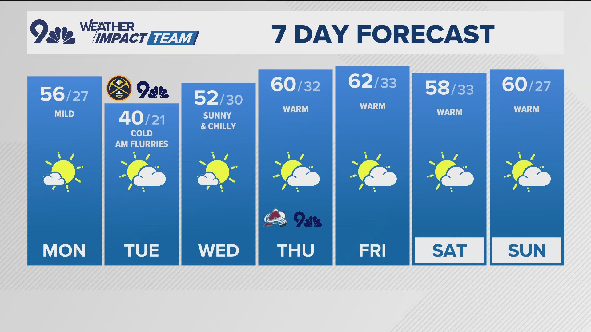
Wednesday's forecast offers a bit of a reprieve in terms of severe weather, and it's even less of a factor on Thursday which, incidentally, is the first day of summer.
LOOKING AHEAD | Your 10-day forecast


