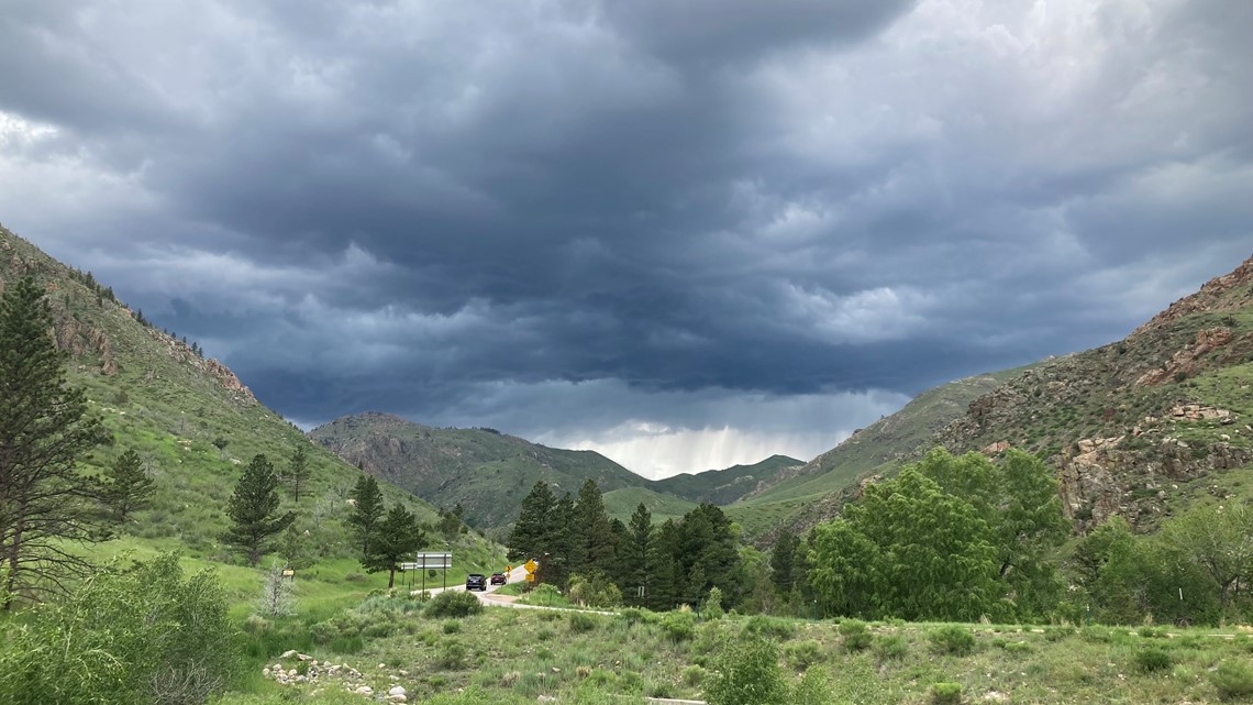
LARIMER COUNTY, Colo. — Thunderstorms popped up over the Cameron Peak and East Troublesome burn scars before noon Wednesday. The rain was constant for nearly seven hours as the National Weather Service issued five Flash Flood Warnings.
One warning in the East Troublesome area and four in the Cameron Peak. The most in any day since July 2021.
That makes a total of nine Flash Flood Warnings for Cameron Peak in the year, and three for the East Troublesome burn area. But despite the numerous warnings, no major flooding incidents have been reported this year and no evacuations have been ordered.
>>Watch video above: Burn scar flooding: what to know
"I'm a little surprised to be honest with you," said Justin Whitesell, director of Emergency Operations at the Larimer County Sheriff's Office. "Every time we go out and check areas where the Flash Flood Warnings are, and we find no impacts, it's surprising. The last couple of summers we always found something even when there was no warning issued."


Whitesell said the lack of impacts doesn't change the fact that major burn scar flooding will be possible for the rest of the summer and likely over the next two years.
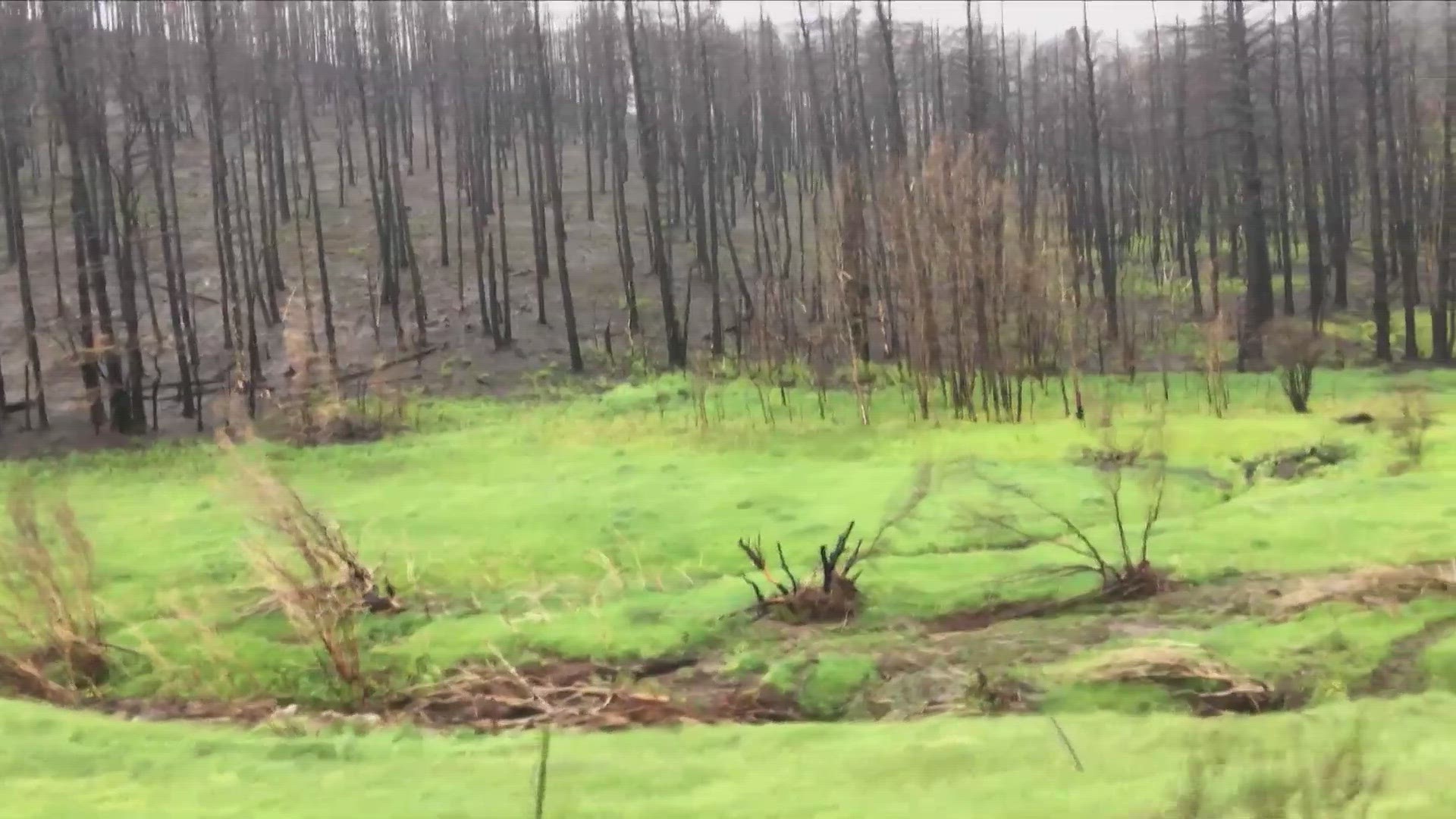
One explanation for fewer flooding impacts this year is the big green-up after a wet finish to the snow season that leads right into a wet spring.
"It's greener up there than we've seen in a long time," he said. "On one hand it's great because it helps strengthen the soil, but I can't help but to think about all that grass being fuel for future fires."
Whitesell said another reason for fewer flood impacts is that the storms are moving through the burn scar quicker than they did the last couple of years.
It is typical for storms to move faster in May and early June. The jet stream slows down by July and the storm movements become much slower. Especially if there are any surges of monsoon moisture from the desert Southwest.
The fatal Cameron Peak flash flood incidents in 2021 and 2022 were both in July monsoon weather patterns.
The current weather pattern has been streaming in ample moisture from the Gulf of Mexico region and is forecast to last for another 10 to 14 days.
Whitesell said that all the state-run camping and picnic areas in Larimer County are open. The U.S. Forest Service still has a couple of campgrounds in the higher part of the Cameron Peak burn scar closed to the public.
"We're telling people to go ahead and recreate. Go back to your favorite camping and hiking spots," said Whitesell. "Just know that anytime you go into the backcountry where you lose connectivity that you should be familiar with the weather forecast ahead of time and have a plan for severe weather."
He said the sheriff's office sends deputies up into the canyons when the weather gets active to check conditions and warn people of trouble if it arises. He also said that Larimer County has all the campground hosts on a pager system to speed up evacuations if they are needed.
So far this year, he said that no evacuation orders have been issued.
SUGGESTED VIDEOS: Colorado Climate

