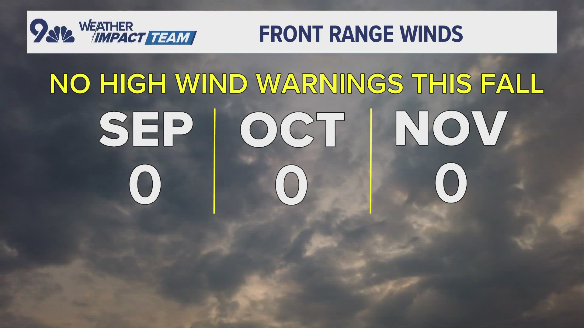
DENVER — The last couple of days have been windy across the Front Range with gusts of 20 to 40 mph, but that's actually not as windy as we are used to seeing this time of year. The winds this fall have been unusually light compared to year past.
A strong and damaging wind gust is considered to be 58 mph or greater. That’s the normal threshold for a high wind warning to be issued.
The storm system moving through on Tuesday night could be the strongest wind event since early May. Most of the stronger gusts of 58 mph or greater will likely stay up on the mountain passes above 10,000 feet but some foothills locations could get some of those stronger gusts.
However, no high wind warnings have been issued at this point.
So that makes it a very unusual stretch of 196 consecutive days without a high wind warning issued on the Colorado Front Range. This is the first time in 14 years that we’ve got to this point of the blustery fall season without a single high wind warning being issued.
There are several reasons why the winds have been on the lighter side this year. There have been fewer storms than normal, and the jet stream has been slower and in more of an amplified pattern. However, fall is only the beginning of the wind. December and January are the two windiest months for the Front Range.

