
COLORADO, USA — Several ski areas reported 10 to 24 inches of snow over the weekend, and that was the second biggest snowstorm of the week. Some places like Aspen Snowmass reported up to four feet of snow over the past six days.
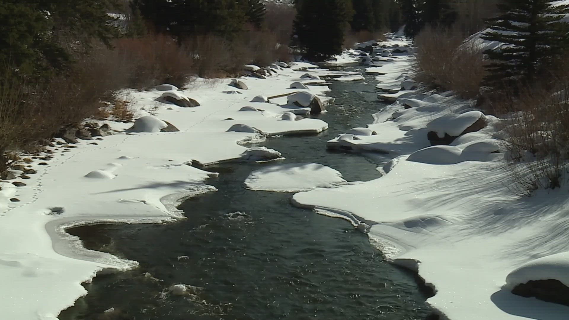
While skiers are celebrating the snow, hydrologists are celebrating the water inside that snow – a measurement called snowpack. Much of the country’s water supply starts as snow in the Colorado Rocky Mountains.
Until recently, this winter’s lack of frequent snowstorms had been concerning. Statewide snowpack has been below average for 123 consecutive days, but that terrible streak could be coming to an end very soon. As of Monday, it’s just 1% below average.

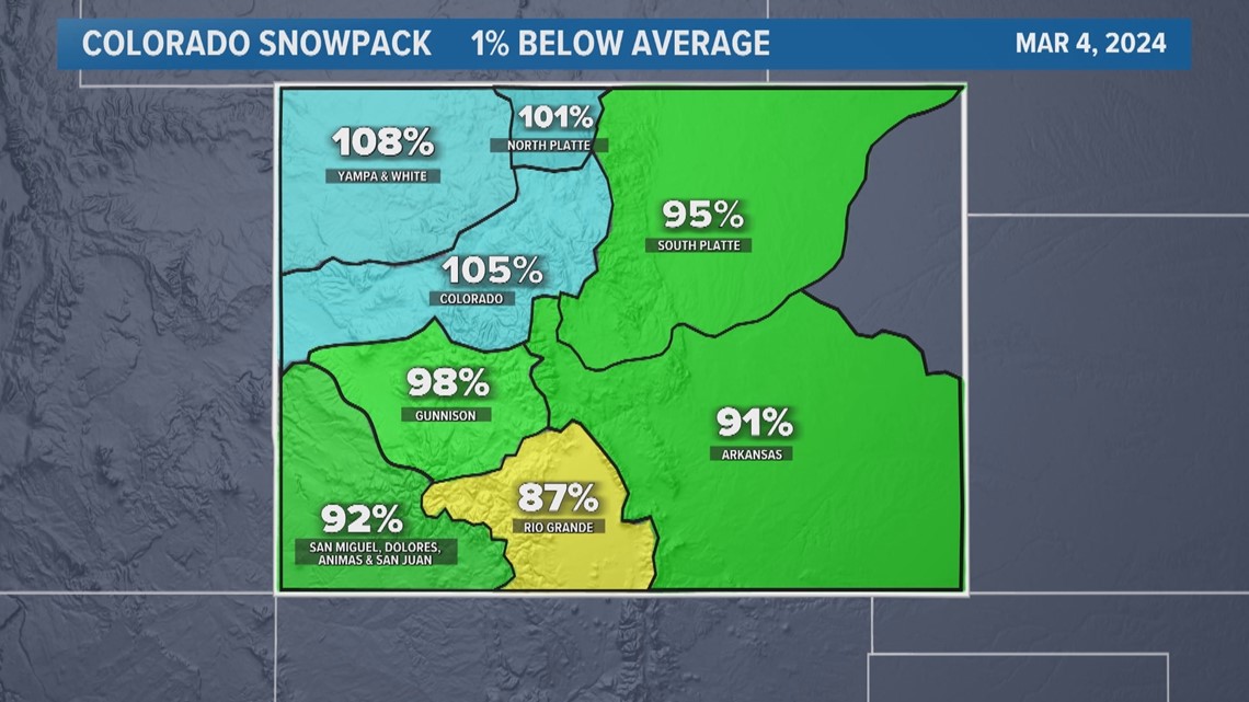
The Natural Resources Conservation Service (NRCS) measures snowpack compared to the median, but in general, the term "average" can be interchangeable conversationally. Either way, it's an important milestone to be closing in on given how unlikely it seemed just two months ago.
On Jan. 5, Colorado snowpack was 32% below average, but winter has kicked into a higher gear since then and it could be level at some point this week.
The median snowpack in Colorado on March 8 is 13.5 inches. That might not sound like a lot of water but imagine a pool the size of the Colorado Rocky Mountains filled with 13.5 inches of water.
When the snowpack levels are at or above average, it relieves a tremendous amount of stress on our water supply in the west. And being at average or median in March greatly increases the chances of finishing the season at least average by mid-April.
The average does go up significantly each day during the month of March, but some light snow over the next few days followed by another big storm on Thursday just might get us where we need to be.
SUGGESTED VIDEOS: Colorado Climate