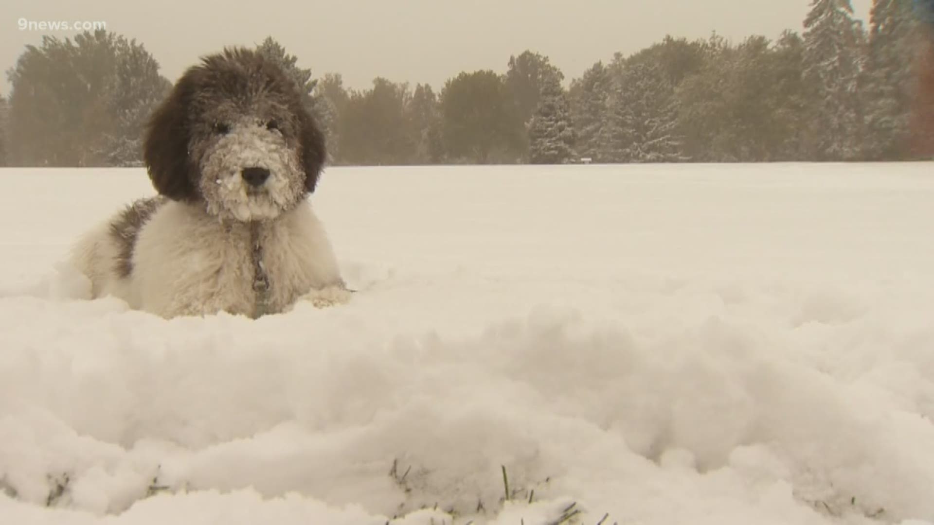
DENVER — Colorado got more than a glimpse of winter on Thursday when heavy snow and frigid temperatures arrived in the state.
By Friday morning, some of the snow had already melted, but chilly, record-breaking temps still hovered over the Denver metro area.
Denver shattered a record low early Friday when temps dipped to 9°. The previous record of 22° was set all the way back in 1946. Late Thursday, the Mile High City set a record low with a temperature of 13°.
Denver also just experienced the second largest 2-day temperature drop on record when temps went from 83° on Wednesday afternoon to 9° on Friday morning, according to 9NEWS meteorologist Marty Coniglio.
The largest 2-day temperature swing was recorded on Dec. 14, 2008 when temps dropped by 76°.
If you're not ready for winter just yet, don't worry: Sunshine and mild temperatures are expected to return to the state by Friday afternoon.
Here’s a look at area snow totals from the National Weather Service:
- East Denver | 4.5 inches
- West Denver | 6 inches
- Ken Caryl | 6 inches
- Florissant | 2.9 inches
- Lafayette | 3 inches
- Thornton | 3.3 inches
- Hayden | 1.5 inches
- Foxfield | 3.5 inches
- Woodland Park | 3 inches
- Englewood | 3.5 inches
- Colorado Springs | 2.9 inches
- Pueblo | 4.2 inches
- Breckenridge | 9 inches
- Estes Park | 6.7 inches
- Steamboat Springs | 6.6 inches
- Henney | 6.5 inches
- Silverthorne | 6.4 inches
- Kittredge | 4.8 inches
- Genesee | 5.3 inches
- Aurora | 3.8 inches.
- Federal Heights | 4 inches
- Fountain | 1.5 inches
- Boulder | 3.3 inches
- Rocky Flats | 4.5 inches
- Evergreen | 5.5 inches
- Louisville | 3 inches
- Loveland | 2.8 inches
- Nederland | 4 inches
- Westminster | 4.1 inches
- Commerce City | 2 inches
- Centennial | 4.5 inches
- Mountain View | 4.3 inches
- Ponderosa Park | 1.5 inches
- Strasburg | 2.5 inches
- Arvada | 3.8 inches
- Highlands Ranch | 2 inches
- Castle Pines | 1 inch
- Columbine | 1.4 inches
- Broomfield | 3.5 inches
SUGGESTED VIDEOS | Science is cool

