DENVER — The first Thursday and Friday of Denver's snowiest month of the year could start off, well, snowy.
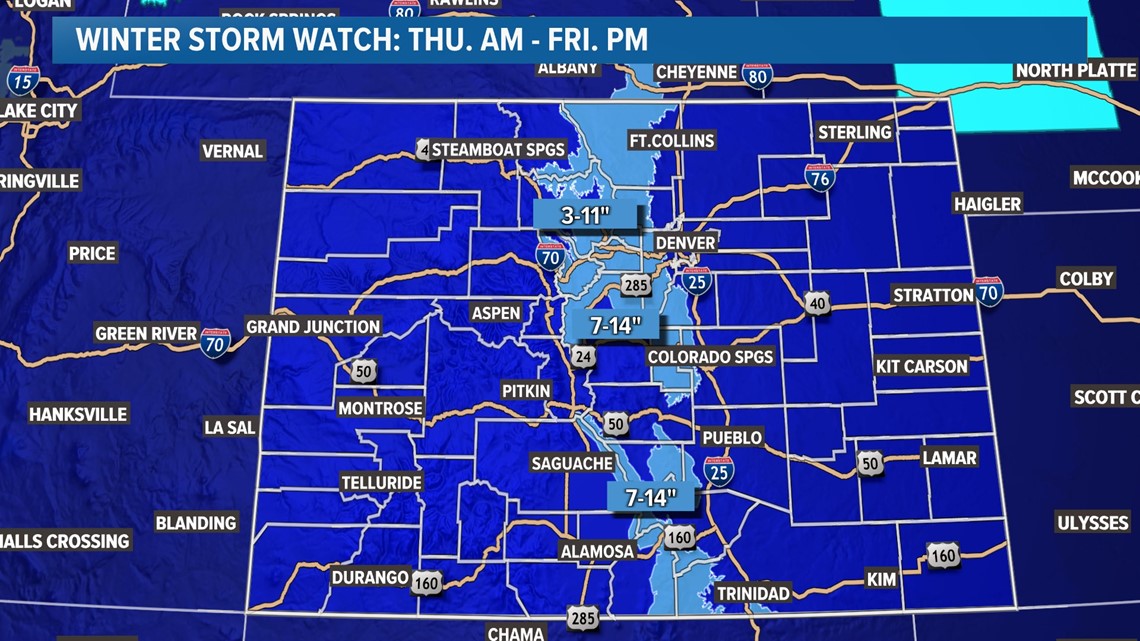
A storm will likely bring at least some snow into the Denver metro area on Thursday and Friday, with the potential for a few inches of accumulation, especially in the foothills west of Denver and on the Palmer Divide, south of the city.
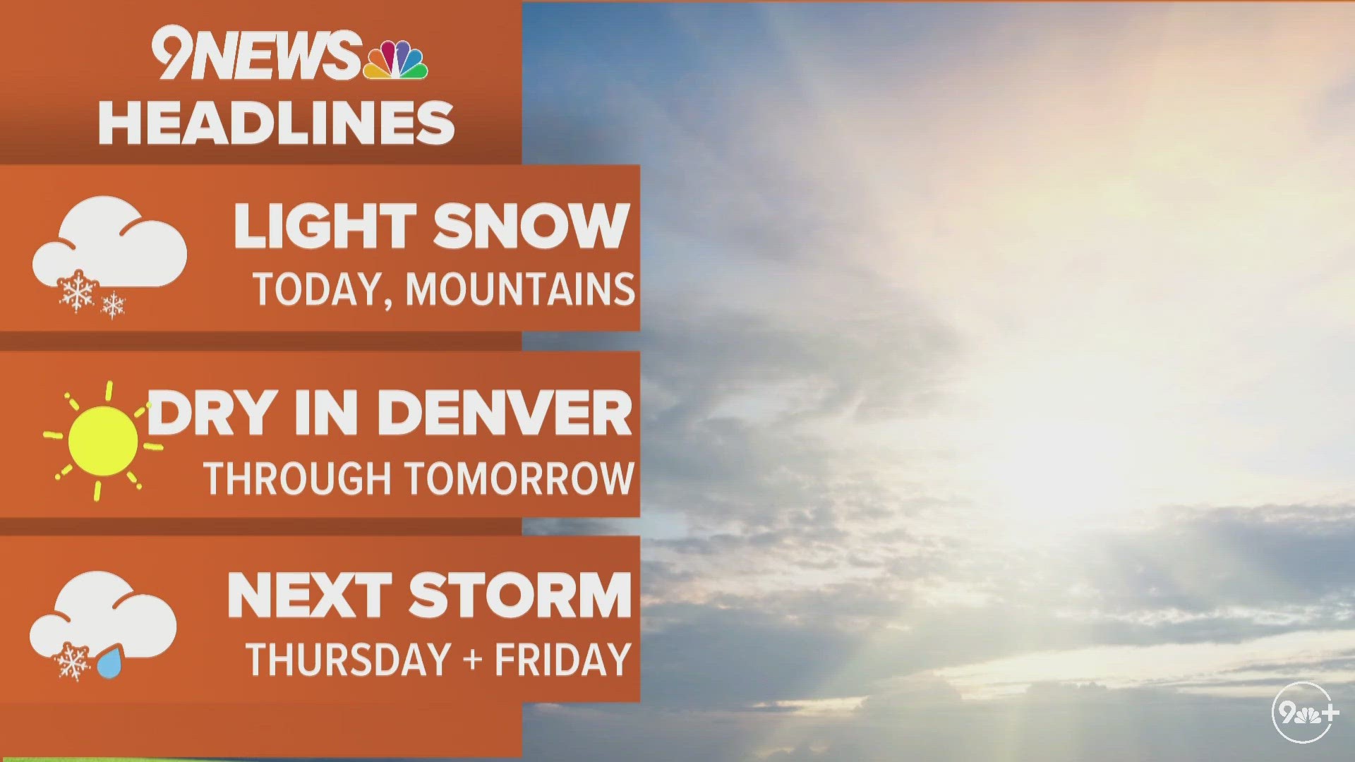
A relatively weak but large storm system will push into the mountains later this week, bringing with it a round of mountain snowfall before potentially bringing some snow to the Denver metro area, as well.
The snow starts in the mountains Wednesday night, and it'll continue through most of the day on Thursday. In the Denver area, some snow mixed with rain is possible on Thursday before the steadier snow moves in Thursday night and Friday morning, and light snow seems likely during the day on Friday before tapering off Friday night.


We could first have some rain and snow in the Denver area as early as Thursday morning, with the potential for a few claps of thunder, especially in the Eastern Plains.
As is often the case with Colorado weather events, there are substantial differences between the computer forecast models in terms of how much snow the Denver area might/could get.
The short-range HRRR model, for example, paints the Denver area with a widespread 4 to 8 inches of snowfall, and some localized totals of 10 to 14 inches in the foothills.
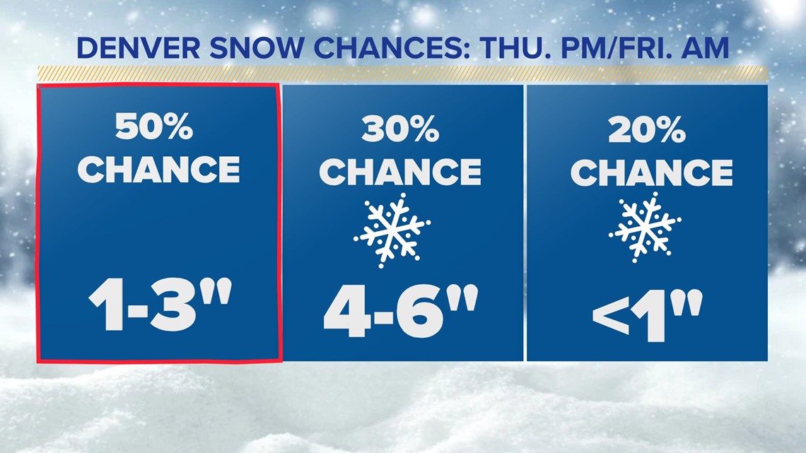
Meanwhile the European computer forecast model shows a lighter 1- to 3-inch type of snow for the majority of the Denver area, with most of the snow falling on Thursday night and Friday morning.
Because of those huge differences, there's still uncertainty about how much snow will fall in Denver specifically. But, there are a couple of things likelier to happen from this snow event.
For one, it looks like the Friday morning commute could be especially slick in the Denver metro area. Even if this snow event ends up on the lighter side of snowfall totals, it'll still likely lead to at least some impacts to the Friday morning commute and also potentially Friday evening.
There could be some impacts on Thursday evening as well, but right now it looks like the main issues would be on Friday morning.
The other likelihood from this storm is that the south and west sides of the metro area will likely wind up with the highest snow totals, while the north and east sides of town probably won't see a ton of accumulation. This is an upslope storm, meaning that easterly winds backing against the foothills and mountains will probably favor the west and south sides of town with higher totals, especially above 6,000 feet in elevation.


Temperatures will be in the upper 20s and low 30s for the majority of the snow event, so this'll probably end up as a heavier, wetter type of snow. Also, those borderline temperatures (the freezing mark is 32 degrees) mean that some initial mixing on Thursday seems possible, especially in lower elevations like Denver.
Snow should clear later Friday or early Saturday, and a mild weekend with highs in the 50s and 60s should help quickly melt away whatever snow does fall.
SUGGESTED VIDEOS: Snow in Colorado
9NEWS+
9NEWS+ has multiple live daily shows including 9NEWS Mornings, Next with Kyle Clark and 9NEWS+ Daily, an original streaming program. 9NEWS+ is where you can watch live breaking news, weather updates, and press conferences. You can also replay recent newscasts and find videos on demand of our top stories, local politics, investigations and Colorado specific features.
To download 9NEWS+ on Roku search for KUSA.
To download 9NEWS+ on Fire TV search for 9NEWS.

