
This weekend brought a severe weather threat Friday night and a soggy Saturday.
Eastern Boulder County was under a Flash Flood Warning until 5:30 p.m. Friday evening because of torrential rain near the mouth of Boulder Canyon.
A portion of El Paso County was also under a Severe Thunderstorm Warning Friday night.
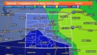
Showers and thunderstorms will continue overnight, then throughout the day on Saturday along the Front Range.
RELATED | A look at the 10-day forecast
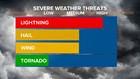
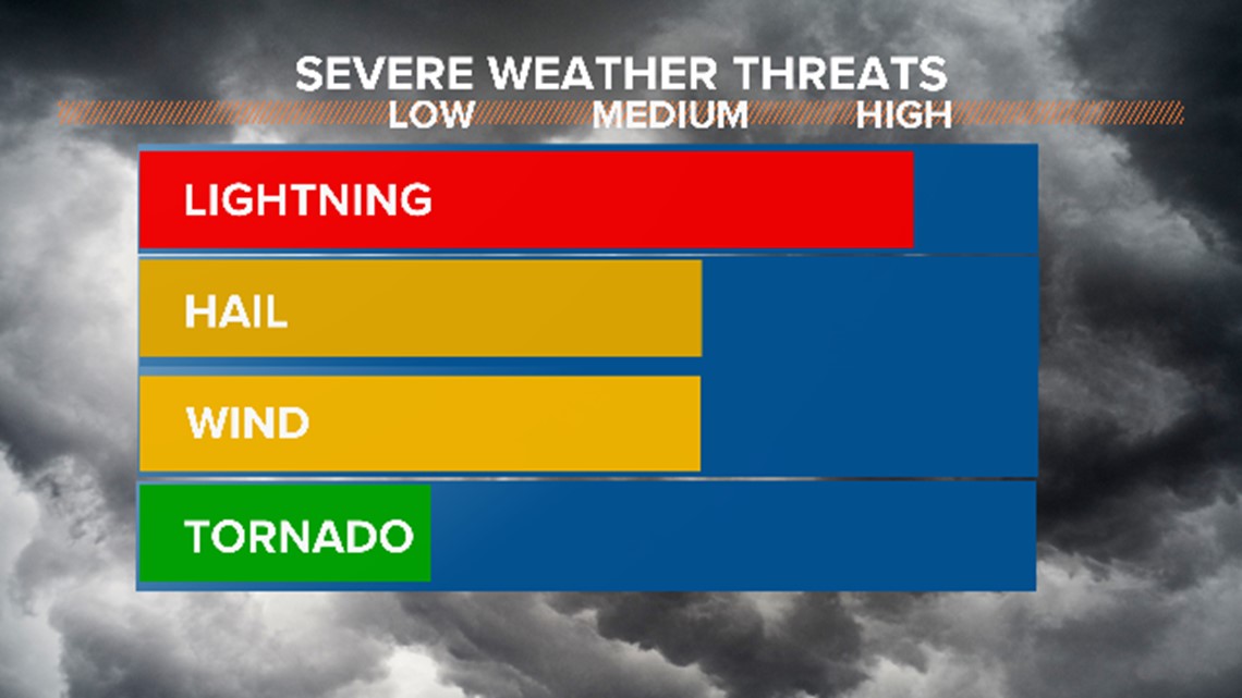
The main threat with these storms will be hail, potentially accumulating hail. Strong winds and even an isolated tornado are possible.
With the showers and thunderstorms associated with this slow moving storm, flooding is a concern in northeastern Colorado through Saturday.
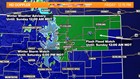
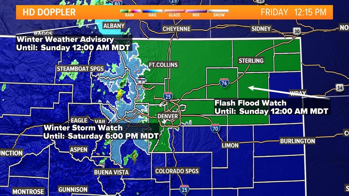
A Flash Flood Watch has been issued for 13 counties including Jefferson, Larimer, Boulder, Adams and Broomfield. The Flash Flood Watch is in effect from 3 p.m. Friday afternoon through Saturday evening. Rainfall totals could be 3 to 5 inches by Saturday evening in the watch area.
YOURTAKE | Share your weather photos with us!
Mountains of western Larimer and western Boulder counties are under a Winter Storm Watch is for areas above 9,500 feet Friday through Saturday afternoon.
This includes Rocky Mountain National Park, Berthoud Pass, Cameron Pass and Medicine Bow Range. Total snow accumulations of 8 to 18 inches is possible, making for difficult travel conditions and significantly reduced visibility.