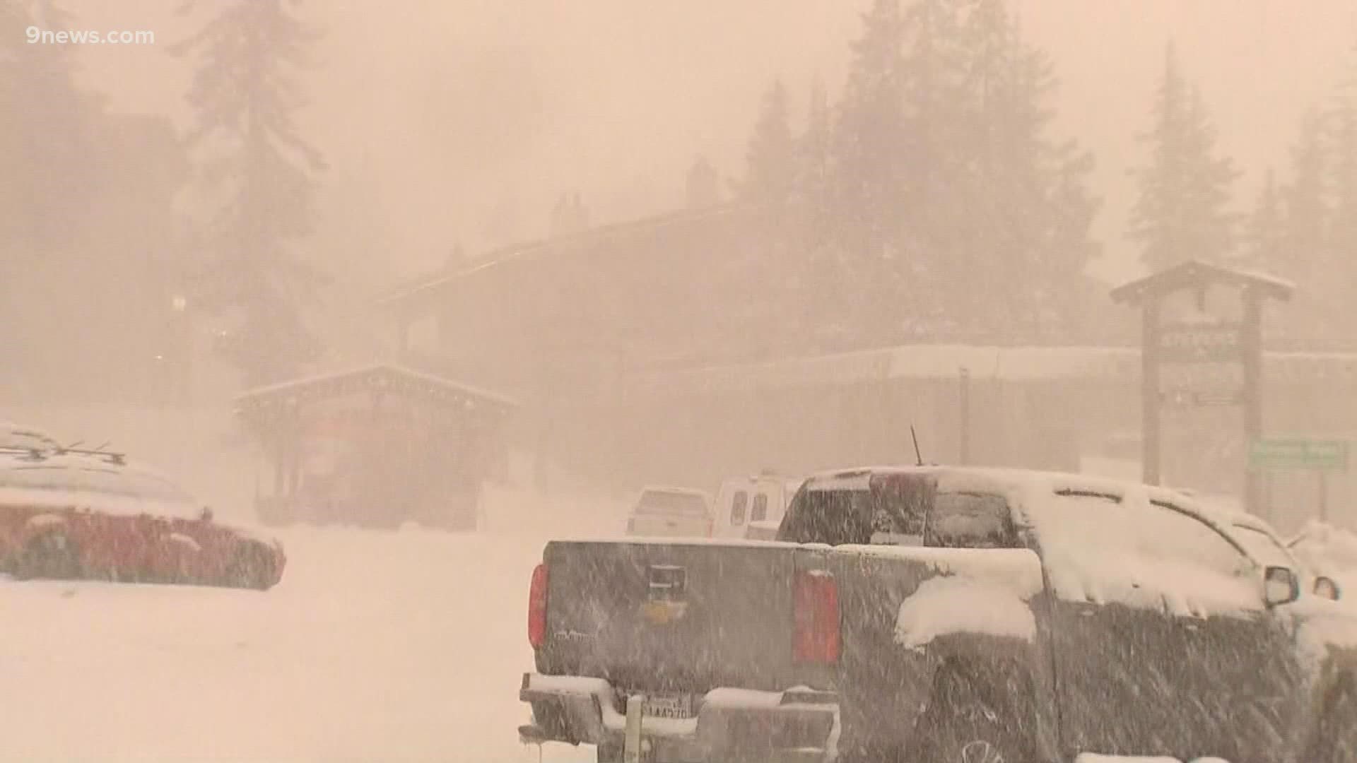
DENVER — Heavy rain with a flash flood and landslide threat is expected in Washington and Oregon over the next few days, along with heavy snow and high avalanche danger in their mountains.
The extreme weather is being created by something called an atmospheric river.
It all starts with a powerful low-pressure system in the Gulf of Alaska. It’s pulling moisture out of the tropics and transporting it northward in a concentrated band.
An atmospheric river can carry 25 times more water than the Mississippi River, except it's high in the atmosphere in the form of water vapor.
An atmospheric river back in December formed a little further to the south. It dropped 18 feet of snow in the Sierra Nevada Mountains near Tahoe, and 100 inches of snow on Wolf Creek Pass in Colorado.
This one is too far north to impact Colorado, but it does open the door for some stormy weather starting this coming weekend.
The atmospheric river will disappear as the low pressure shifts east over the U.S., but it will push a series of storm systems our way.
It could be a weeklong episode of stormy weather, just like last week’s cold blast, but this time the air won’t be coming from the arctic, so it won’t be nearly as cold.
But there is great potential for lots more snow in the Colorado Rockies, with rain and snow likely on the Front Range.
SUGGESTED VIDEOS: Science & Weather

