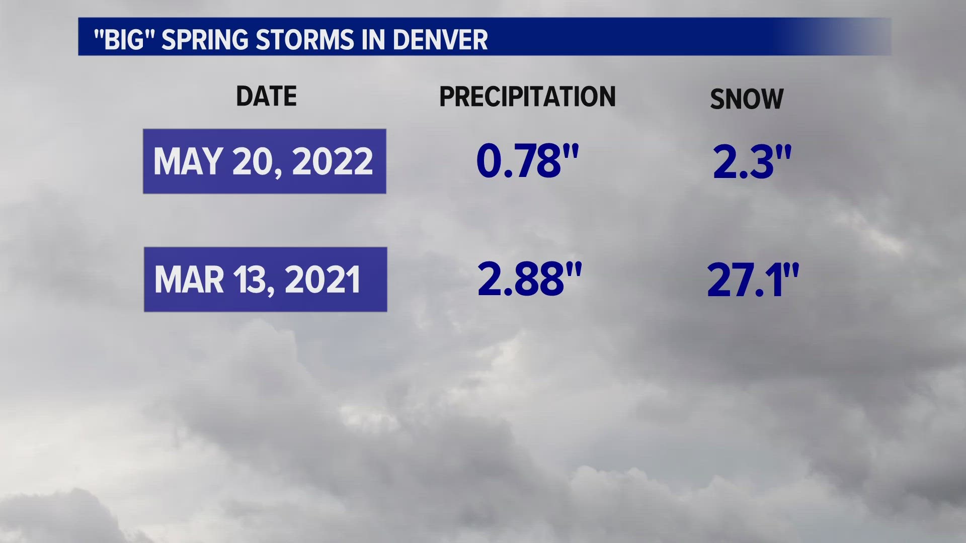
COLORADO, USA — A significant rain and snowstorm could affect much of eastern Colorado on Tuesday and Wednesday.
While there are still several questions surrounding this system, it appears increasingly likely that much of eastern Colorado, including Denver and Colorado Springs, could see more than an inch of precipitation. And in some spots, especially in Colorado Springs, there's the possibility for more than a foot of snow by Wednesday.
A strong and relatively slow-moving storm moves in from the north and west on Monday, and it'll first bring some snow to the mountains on Monday afternoon.
Showers could move into the Denver area starting on Monday night, but it's more likely we'll start to see our rain start on Tuesday. And once it starts, it may not end for 24-36 hours.
The heaviest rain looks most likely on Tuesday night and Wednesday morning, though it looks like it'll steadily rain for most of Tuesday and Wednesday.
The snow question
For most of the Denver area below 6,000 feet in elevation, it generally looks like it'll be too warm for snow - though that could well change. Temperatures will probably be stuck in the low 40s or even upper 30s for most of the storm, and it'll gradually cool as the storm wears on.
That said, it would only take temperatures to cool a few more degrees from current projections for a lot of snow to fall, and that could include the Denver area. At this time, though, it looks like Denver and most of the metro area will see mostly rain. The foothills and the Palmer Divide may wind up with heavy, wet snow.
Above 7,000 feet in elevation, it looks like it'll be mostly or all snow, and more than a foot of accumulation could fall in these areas.
On top of that, a colder northerly wind could mean lower elevation areas south of the Palmer Divide, including Colorado Springs, may also be in store for six or more inches of snow on Tuesday and Wednesday. In some cases, up to two feet of heavy, wet snow could fall.
A heavy, wet snowstorm could produce downed trees and power lines. It could also disrupt agricultural interests and calving.
On the other hand, a storm with 1-3 inches of precipitation could put a significant dent in our recent drought. That would almost single-handedly make up for a very dry March and April-to-date.
If this storm stays a chilly rain, it'd probably be highly beneficial with little to no flooding. It'd be all of the precipitation with fewer headaches (aside from two days of lousy weather).
It's still far enough out that there are plenty of remaining questions. But it looks pretty likely that much of eastern Colorado will get a healthy amount of precipitation next week.
Check back in with 9NEWS for the latest on this potentially high-impact storm.
SUGGESTED VIDEOS: Severe Weather

