COLORADO, USA — It was a busy day of severe weather in Colorado on Wednesday.
Colorado's first tornado watch of 2023 was issued for the northeastern quadrant of the state, including most of the Denver metro area and part of the Eastern Plains.
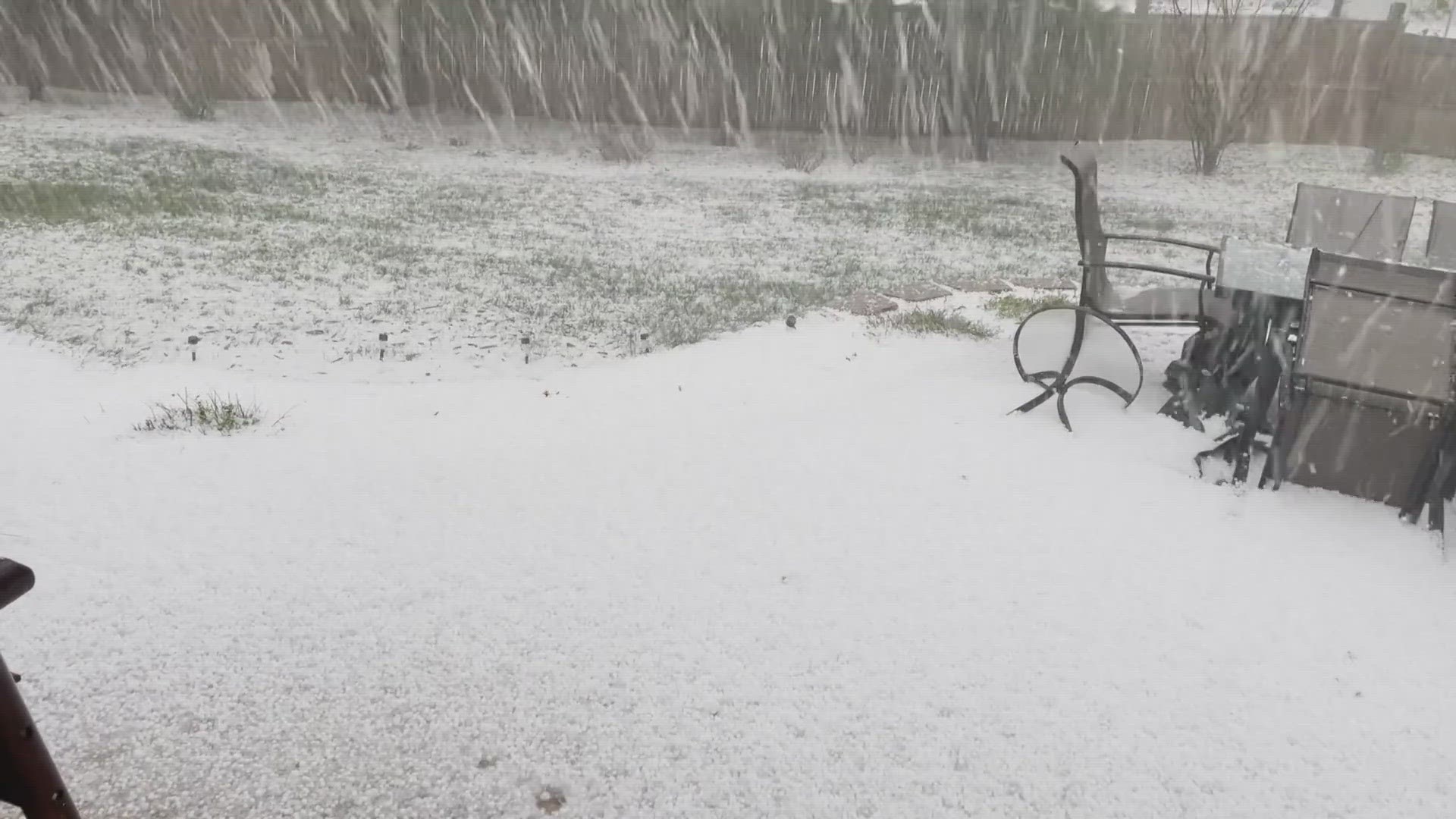
But hail was the main hazard for most people.
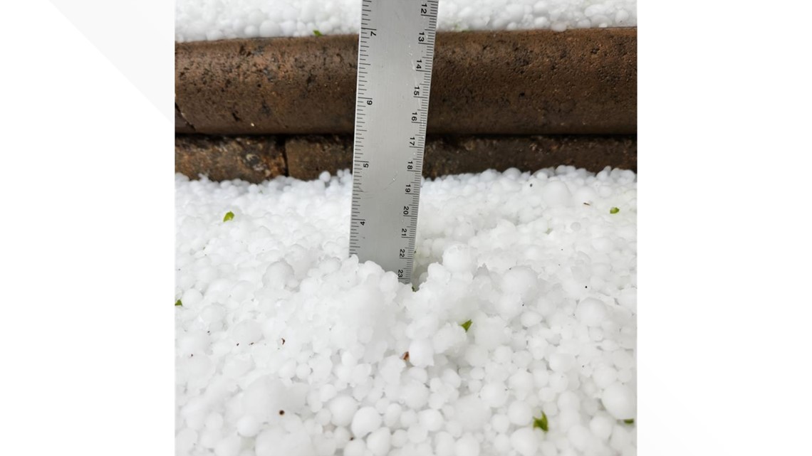
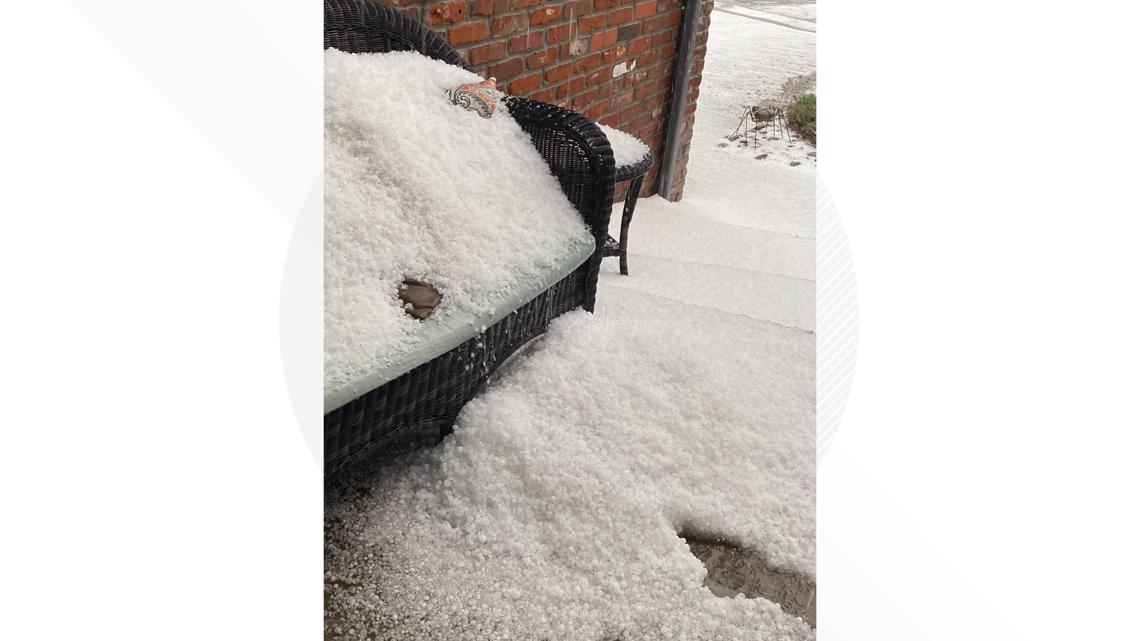
Viewers from Centennial to Lone Tree to Roxborough to Castle Pines were hit by heavy hail and rain throughout the afternoon and shared photos and video with 9NEWS.
Some areas got enough hail that it needed to be shoveled out of the way.


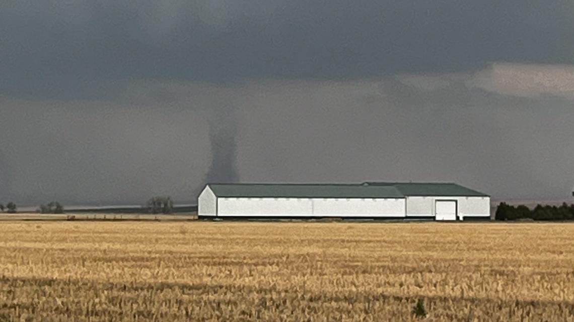
Later Wednesday evening a few viewers captured images and video of a tornado that touched down on the Eastern plains.

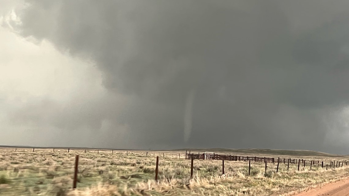

Some viewers also captured dramatic images of the storm clouds moving in.

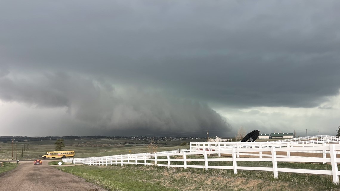

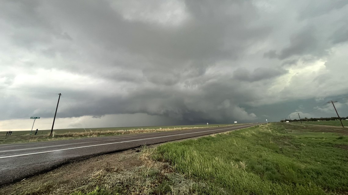
While the severe weather is expected to taper off before sunset on Wednesday, showers and storms will continue overnight through early Thursday morning.
There will be a break in the action in Denver between 11 a.m. through the mid-afternoon on Thursday, but conditions will still be dreary. The storms continue for the eastern plains with potentially another round of severe storms.
There will be one last surge of heavy rainfall overnight in Denver from Thursday into Friday before this system pushes east, leaving us with more isolated showers during the day on Friday under mostly cloudy skies.
> Live interactive radar:
SUGGESTED VIDEOS: Severe Weather
What is Severe Weather?
According to the National Weather Service, there are five specific types of weather that can qualify as "severe." They are tornadoes, floods, lightning, hail and wind.
RELATED: What is severe weather?
A thunderstorm is considered severe when winds reach at least 58 mph and/or contains hail at least 1" in diameter. When these conditions are met, the NWS will issue a severe thunderstorm warning.
RELATED: How is hail formed?
Lightning and heavy rain are not included, but often accompany severe thunderstorms.
A tornado watch is issued by the NWS when they determine that weather conditions are favorable for the formation of tornadoes. They usually last for a long time, cover a large area and begin well before any tornadoes or other severe weather begin.
A tornado warning is issued if a tornado is indicated by radar or reported by weather spotters. They are generally for a much smaller area and only last for about 30 minutes. If a tornado warning is issued in your area, you should seek shelter immediately.
RELATED: What to do in a tornado warning

