A cold front moved into Colorado last night and was clearly seen on Doppler radar. It drifted through the Denver metro at about 10 p.m. Thursday.
The radar picks up on dust particles and even insects that get caught up in the flow of the front, that is why the reflections are seen so clearly, even though there was no precipitation created.
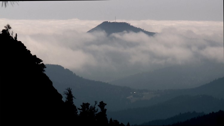
The cold air behind the front is very dense and heavy. This causes the air to settle down at the lower elevations, while warmer air remains up high. A layer of Stratus clouds usually marks the boundary of this temperature inversion.
Air at the surface can only rise if there is colder air above it. With warm air on top, the cold air gets stuck.
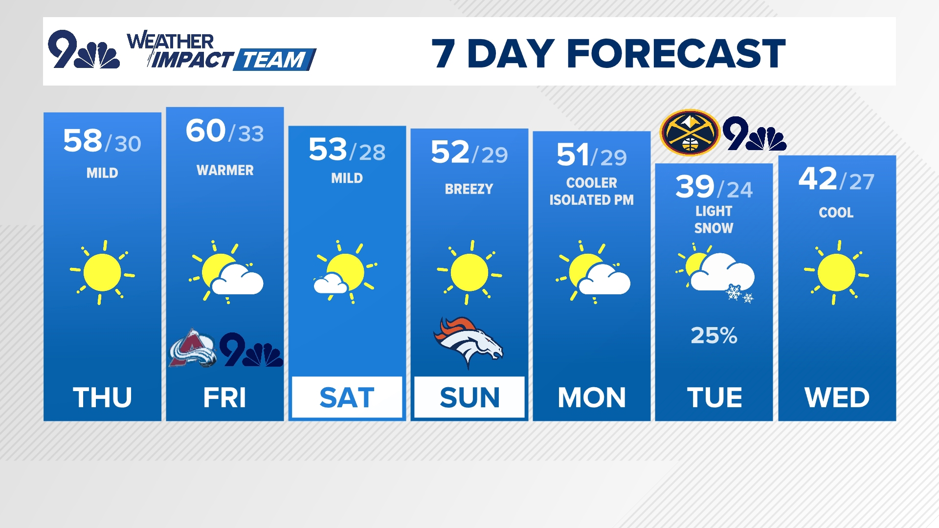
That's why temperatures in the Denver area on Friday will be in the 50s, while high temps in mountain areas, like Breckenridge, will be in the upper 60s.
The atmosphere is a fluid, and sometimes on days like this, you can clearly see that.
Areas between 7,000 and 8,000 feet were foggy Friday, and some drizzle was reported in Weld, Larimer and Boulder Counties. The mountains stayed sunny and warm.
This was what’s referred to as a "dry front." This air originates over the northern part of the continent, which is an area that has no large water bodies, thus there is very little water content in the air.


