
BOULDER, Colo. — A portion of the Front Range is under a severe thunderstorm watch Friday.
The National Weather Service (NWS) in Boulder put Larimer and Weld counties under the watch at 1 p.m. The watch lasts until 9 p.m.
The watch covers a portion of the Nebraska panhandle and all of east and central Wyoming stretching to the Montana border.
The NWS said a couple of tornadoes are possible, along with scattered hail that could be up to two inches in diameter, and gusty winds up to 70 mph are possible with storms that form.
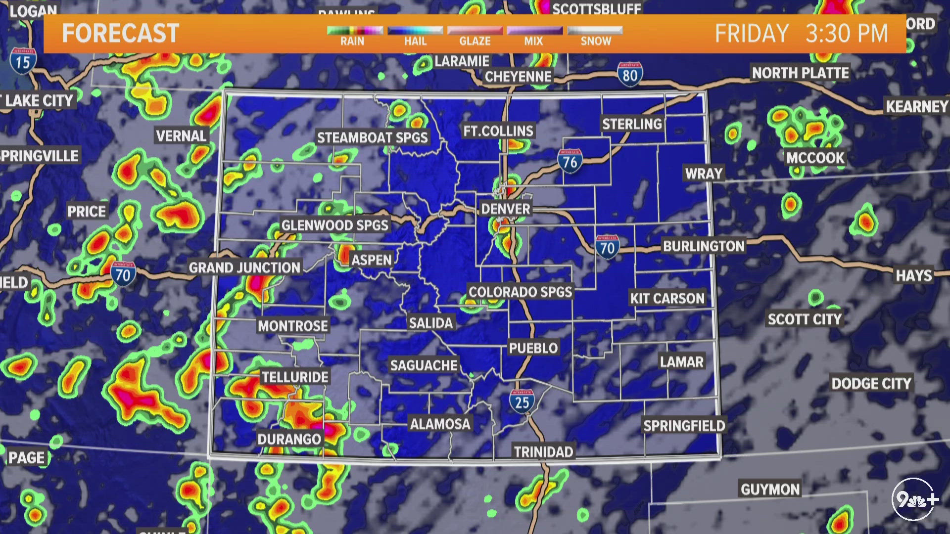
At 2:30 p.m., radar showed some storms in far northern Larimer County at the Wyoming state line. Storms were also firing in the Castle Rock in the south metro area.
The first severe thunderstorm warning was posted for far northern Weld County at 3 p.m. The warning expired at 3:30 p.m.
Denver International Airport warned flyers to check with their airlines for possible delays as storms could affect departure and arrival times. At 3 p.m., DIA was reporting 56 delays and 11 flight cancelations, according to Flight Aware's Misery Map.
South-central Colorado is under flood watch as the remnants of Tropical Storm Alberto push through the state out of the southwest.
The San Miguel County Sheriff's Office tweeted out they had seen some flooding and rockslides affecting their county on Friday.
9NEWS meteorologists said Friday's storms are fairly fast-moving and should be out of the Denver metro area by 9 p.m.
THURSDAY STORMS: Severe thunderstorms in Denver metro area, on eastern plains
SUGGESTED VIDEOS: Colorado Weather