DENVER — The National Atmospheric and Oceanic Administration (NOAA) released their winter outlook ahead of Colorado's second winter storm.
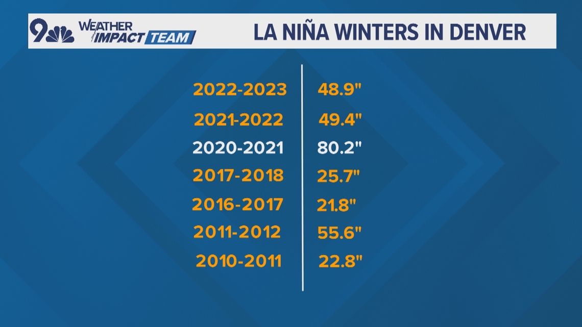
This winter’s forecast hinges around a developing La Niña weather pattern, and historically, La Niña winters in Colorado have been all over the board. So, there are not too many consistent impacts in our state.
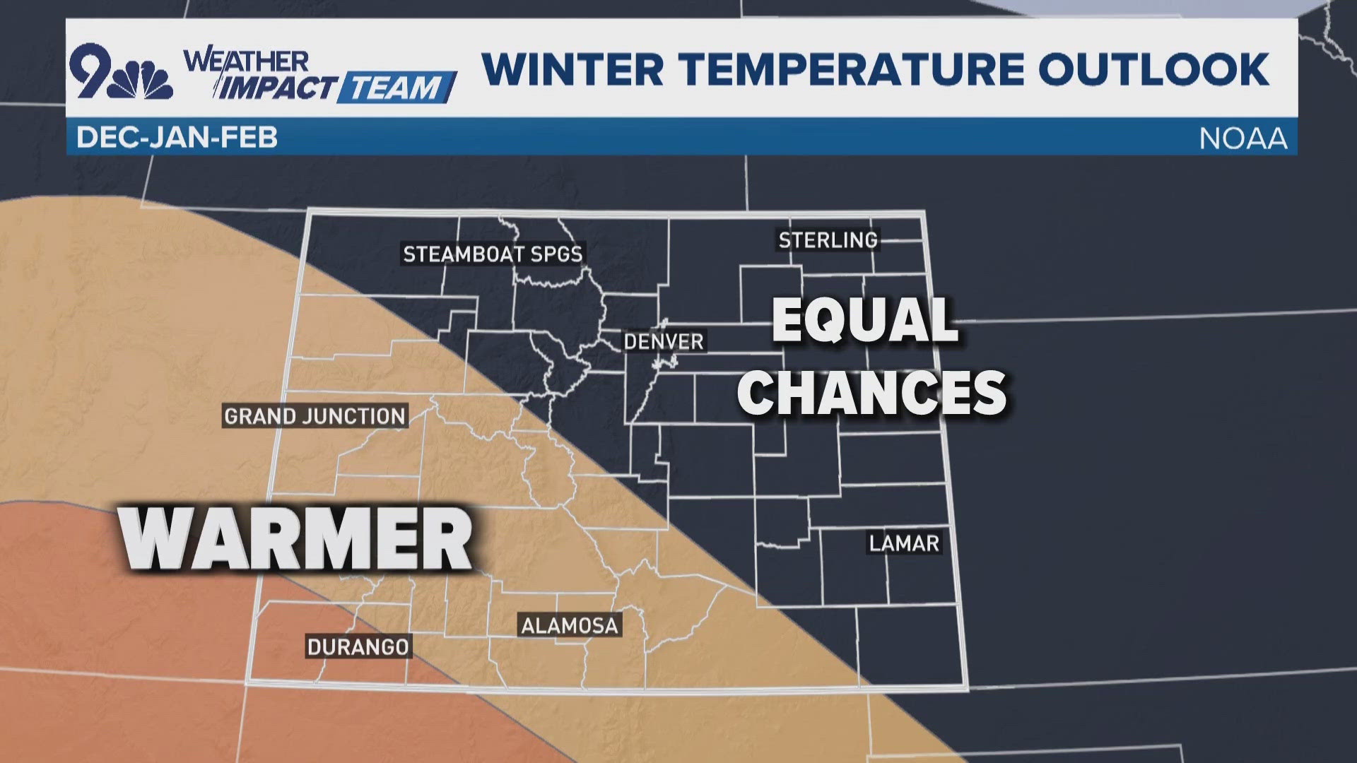
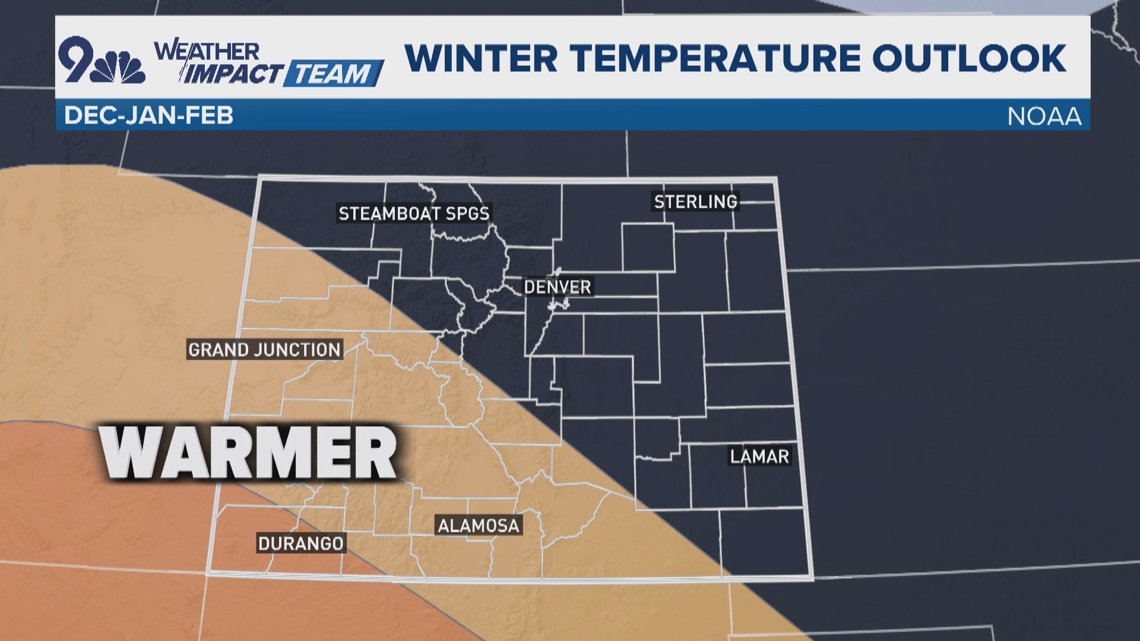
According to NOAA’s official winter temperature outlook, the best chance for cooler than average temperatures are in the northern states. Then when you zoom in to Colorado, there are slightly better odds at warmer than average temperatures in the southwest part of the state.
Summit County, the Front Range and the northeast Plains have nothing tipping the scale one way or the other.

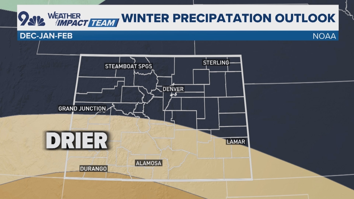
In the precipitation outlook, wetter conditions are likely to the north, but here in Colorado, there’s a good chance at drier than average conditions in the southwest.
That area will be the bullseye for this weekend's snowstorm but keep in mind, this NOAA forecast is for the winter months of December, January and February.

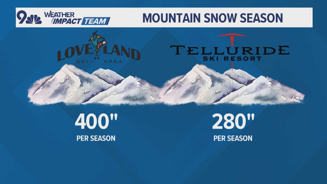
Here’s some perspective on the snow forecast if it ends up being average or slightly below average: Loveland Ski Area averages about 400 inches of snow in a season – which would be a reasonable expectation for this winter. Telluride Ski Resort averages 280 inches. So even if they end up below average like 250 inches, that’s still a lot of snow.

One place in Colorado where La Niña winters have shown some consistency: Denver. Six out of the last seven La Niña winters have delivered less than the average of 56.6 inches of snow.
According to NOAA, a La Niña has not yet developed, but is expected to sometime before the end of November. This will be a very late arriving La Niña, as they usually reveal themselves by the end of summer.

