COLORADO, USA — The first snowstorm of 2021 will sweep through the Front Range on Saturday, but right after that moves out of the area on Sunday afternoon, a huge ridge of high pressure is forecast to stating forming.
High-pressure systems create very dry and usually abnormally warm temperatures. They are referred to as ridges because they act as a divider or a blockade between storm systems.
The blue skies and dry air over the Colorado Front Range on Friday was the result of high pressure moving into the area, but that one was a small ridge, only covering a few states and lasting less than 24 hours.
The ridge of high pressure expected to form this week will be much larger covering the entire western half of the United States and could last for six days or more.
RELATED: Snow returns Saturday
These extended high-pressure systems have become informally known by some as mega ridges.
“The public imagination about these types of patterns has evolved," said Daniel Swain, an atmospheric scientist with the University of California Los Angeles. "We’re starting to come to terms with that, I think. In a warming 21st century climate, that sometimes it’s the high-pressure systems that are the villains.”
He said drought and fire danger slowly swell underneath these big western ridges, and that they are particularly damaging to the California climate where winter precipitation makes up a high percentage of their annual moisture.
Swain coined the term “Ridiculously Resilient Ridge”, or the Triple R for the mega ridge that lasted nearly 2 years and caused the California drought of 2015.
A mega ridge was mostly responsible for the summer-fall heatwave and drought that lead to a record-breaking wildfire season in 2020.
Swain also studies big western ridges and other synoptic weather patterns for the National Center for Atmospheric Research based in Boulder. He said the one week ridge in the forecast might not be what he would call a mega ridge by itself.
"But it is what I would call a more extreme version of a pattern that we have already been seeing for a while," he said. "It's not like it has been a nice wet fall and winter so far. It's kind of like we are transitioning from weak ridging to now really strong ridging, and altogether it's getting close to some major again."
He said it’s too early to tell how long this latest ridging pattern will last, but his research has shown that the mega ridge may become a regular part of the future climate.
“There has been a trend toward seeing this more pronounced western ridging in winter," Swain said. "Even if it isn’t there all the time, the frequency in which we see these super high amplitude patterns has increased."
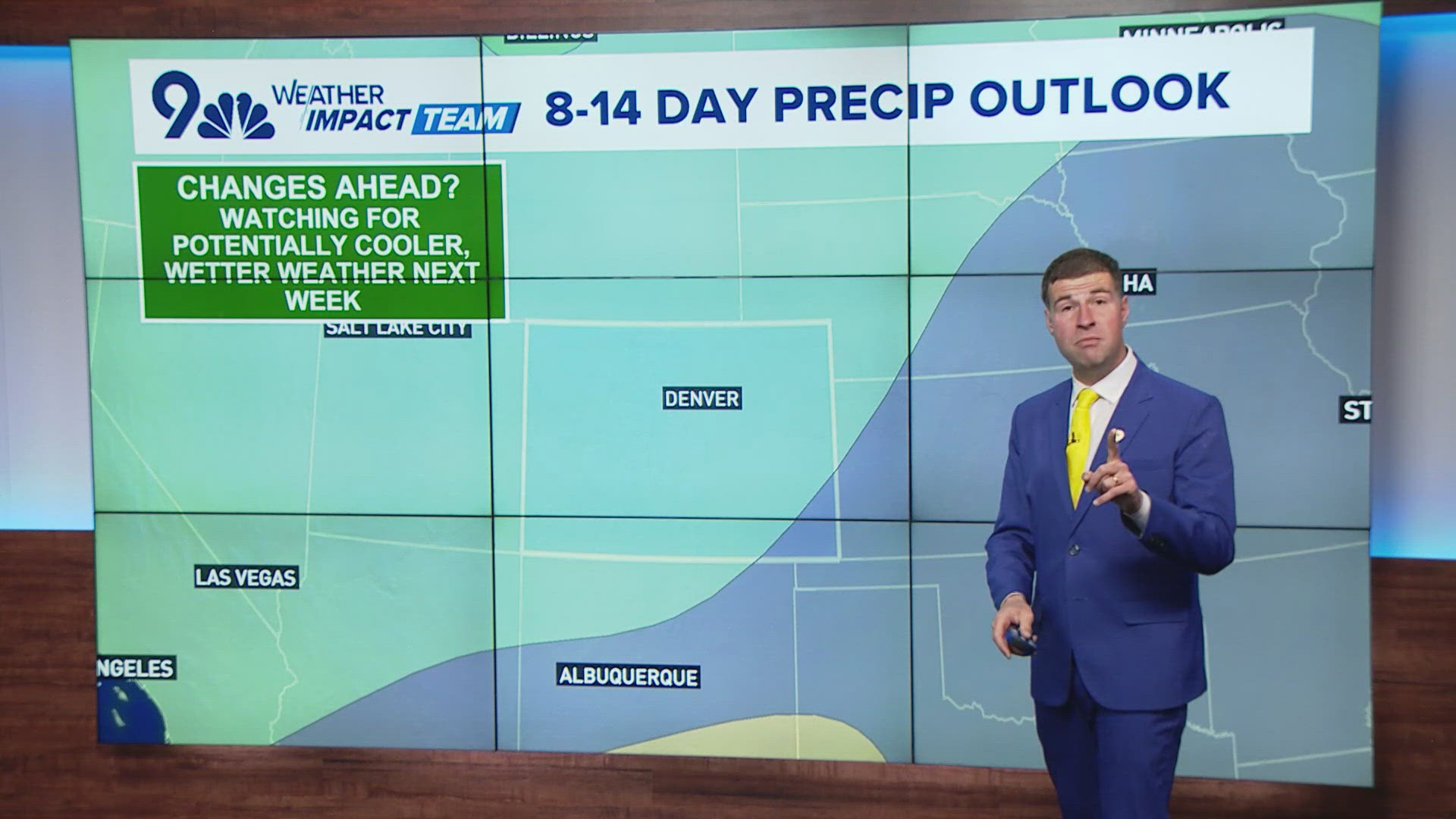
Colorado is usually on the outer edge of these winter riding events, but this one will impact our state with a dry week from at least Sunday through next Saturday and temperatures will be 5-10 degrees above average. That could mean six days in a row of 50 degree high temperatures in the Denver area.
Some of the southwestern states could be looking at record-breaking high temperatures.
SUGGESTED VIDEOS: Science is Cool


