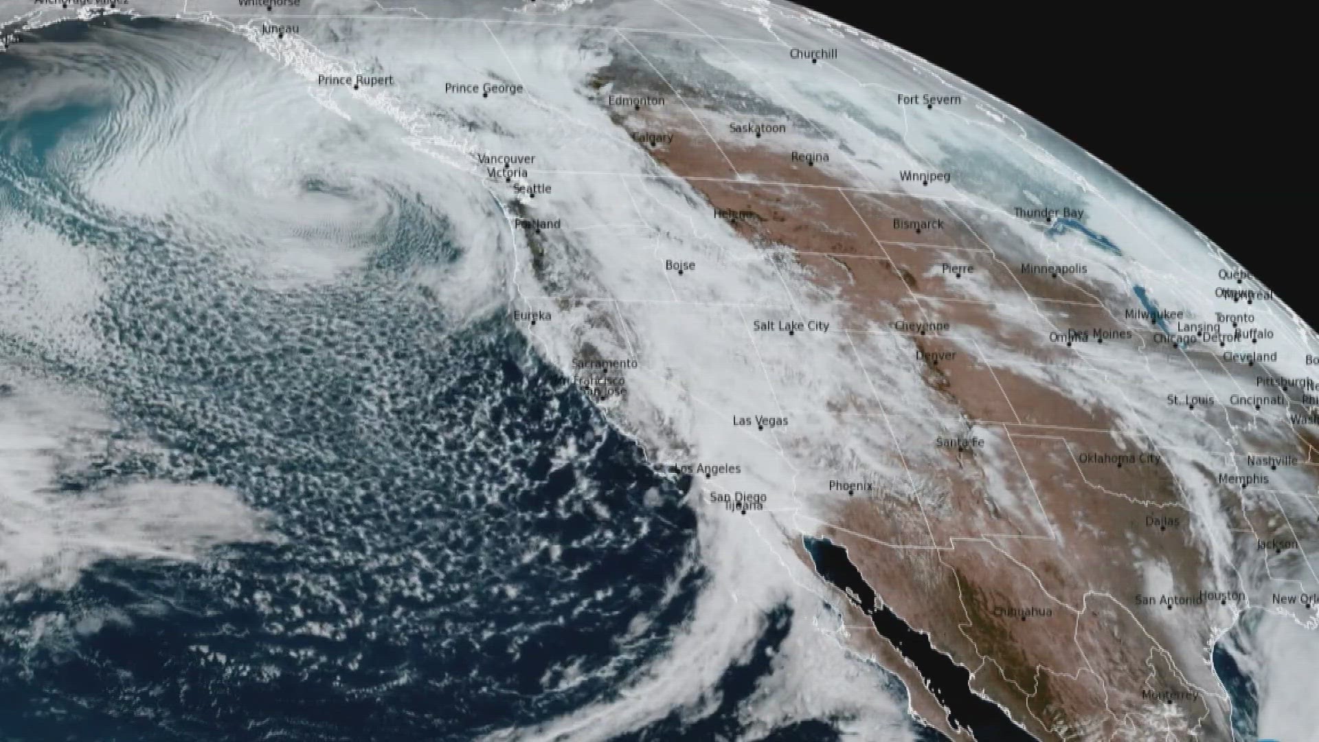
DENVER — Nobody wants to hear a snow forecast ranging between 1 and 20 inches. It's even a common joke about snow predictions on the Front Range, but this weekend's storm comes close to making that forecast a reality.
The actual size, strength and placement of the upper low and the surface low have not been very clear in computer modeling but it's even the snow forecasting basics that are pointing to a large spread in Denver.
There is an unusually high moisture content in the storm and when coupled with some relatively warm temperatures, that makes for a very difficult snowfall forecast.
National Weather Service (NWS) meteorologists are responsible for issuing winter weather advisories and warnings. They write several public forecast discussions every day in which they can share the complex details behind the forecast and sometimes they also reveal some personal thoughts behind a storm.
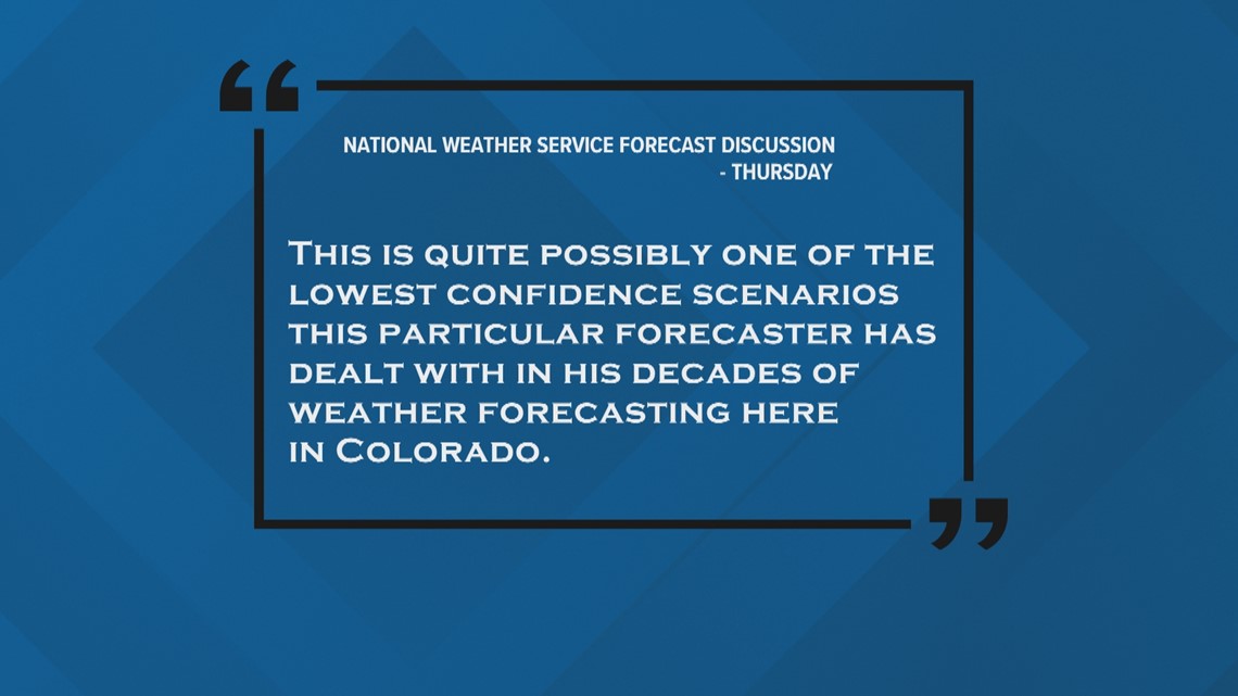
On Thursday morning, an experienced NWS meteorologist wrote a note in his forecast discussion saying, "This is quite possibly one of the lowest confidence scenarios this particular forecaster has dealt with in his decades of weather forecasting here in Colorado."


Snow-to-liquid ratio
The relationship between moisture and temperature when it comes to snow is best conveyed by something called the snow-to-liquid ratio. That describes how much water is in the snow, and how there can be different amounts of snow accumulation from the same amount of snowfall and moisture content.
Here's an example. Let's say this storm brings in 0.75" of moisture, which is kind of the average amount shown in the computer modeling over the last couple of days.
A normal snow-to-liquid ratio on the Front Range is 14:1, so 14 inches of snow accumulation would come out of 1 inch of moisture. That would mean in this case, .0.75" of moisture would give us the potential to get 10.5 inches of snow in Denver.
But if it is warmer than normal and we get very wet snow, which is likely, we could get a snow-to-liquid ratio of 8:1. So with the same amount of moisture in the forecast (0.75") and now at that wetter ratio, that drops the snow potential down to 6 inches. That's much lower but still pretty big potential there.
And that's often where a very basic snow forecast begins. Then you factor in things like where the dry slot in the cyclone will be placed, some thermodynamics like rain/snow conversion, a little melting from rainfall, and of course melting due to warm surfaces from five consecutive 60-degree days.
That leaves you with a more reasonable expectation of 0-4" of accumulation in Denver by Sunday morning. Even though the higher-end potential is still very much in play.
SUGGESTED VIDEOS: Colorado Climate

