
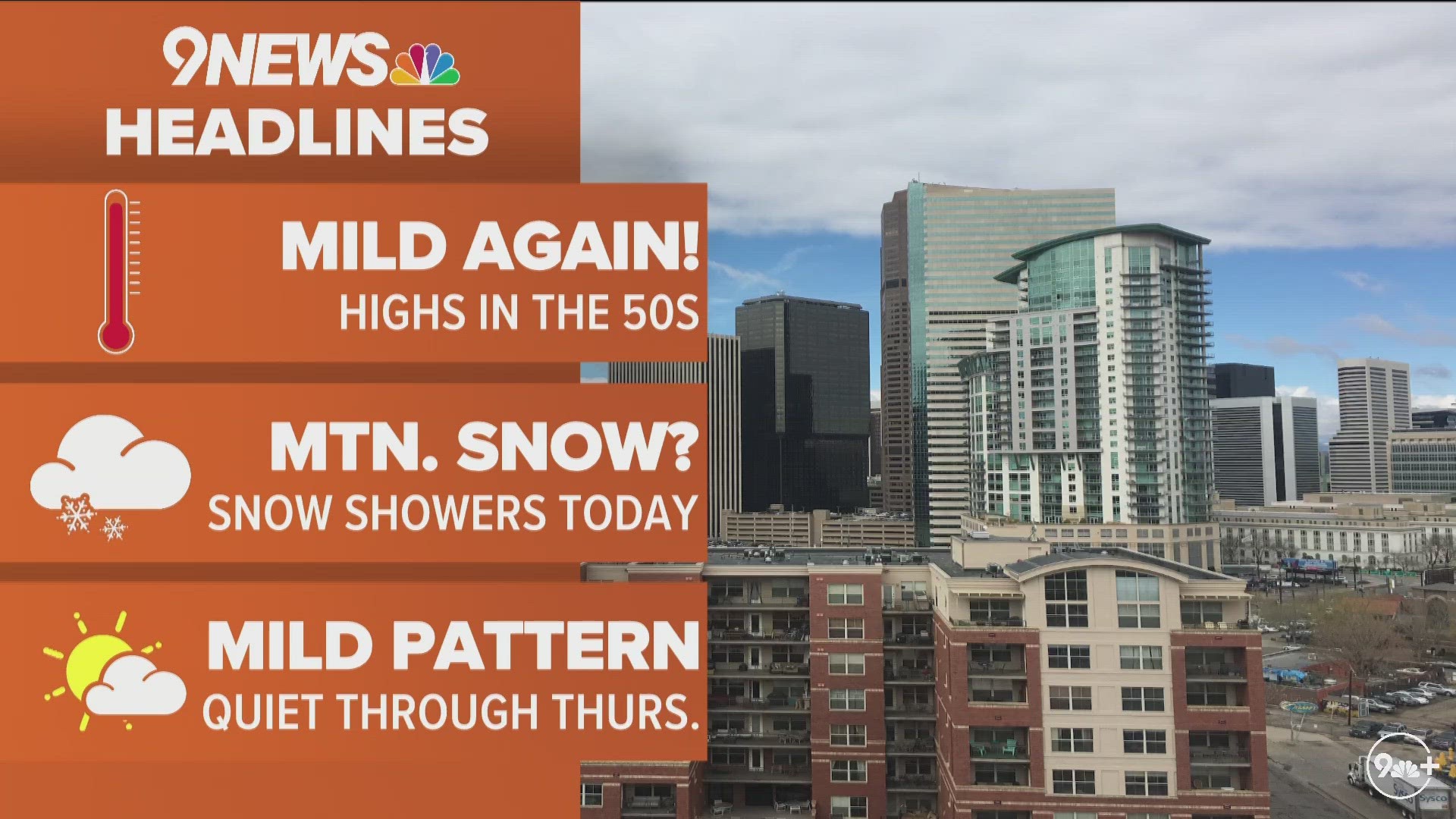
DENVER — Light snow is likely in the Denver area on Thursday night and Friday morning, but it'll likely lead to low impacts for most of the metro area.
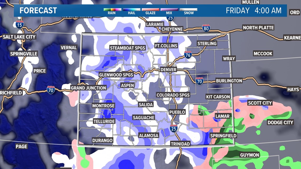
A storm system will stay south of Colorado as it moves through on Thursday and Friday, but it could draw up just enough moisture to lead to some light snow for parts of the Denver area and northeastern Colorado on Friday morning.
However, mild temperatures and relatively light snow will mean the snow will be of little or no impact for commuters during the Friday morning rush.

Look for an inch or less of accumulation from the storm system for most of the metro area, most of it likely falling overnight Thursday into Friday morning. However, a few areas on the Palmer Divide and our southern foothills could get 1 to 3 inches of snow above 6,000 feet in elevation. A few locally higher totals are possible above 7,000 feet.

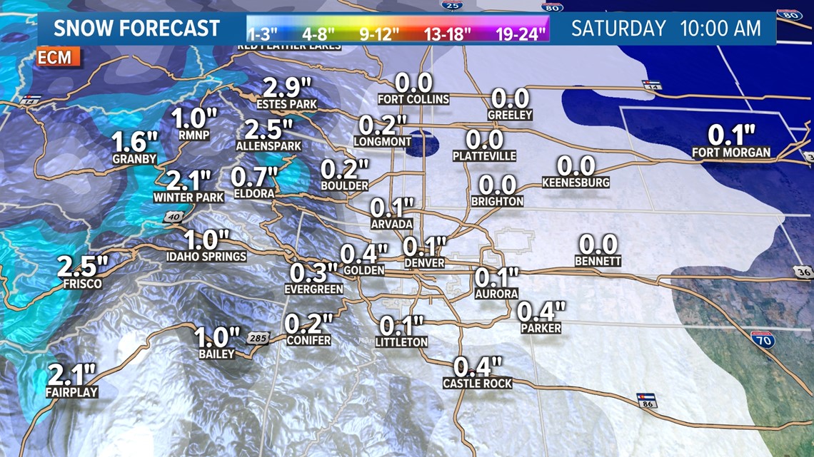
That same storm system will bring our southern and western mountains a widespread 3 to 6 inches of snow above 8,000 feet in elevation, which is good news for the part of the state that needs the snow the most. The San Juan and Sangre de Cristo mountains should see a widespread light snow event, mainly on Thursday.

Snowpack levels in that part of the state are running about 20% to 30% below their season-to-date averages, as they mostly missed out on last week's snowstorm that mostly affected our central and northern mountains.
After the storm, temperatures spike back into the 50s this upcoming weekend, and we'll likely hit 60 next week in Denver.
SUGGESTED VIDEOS: Colorado Climate