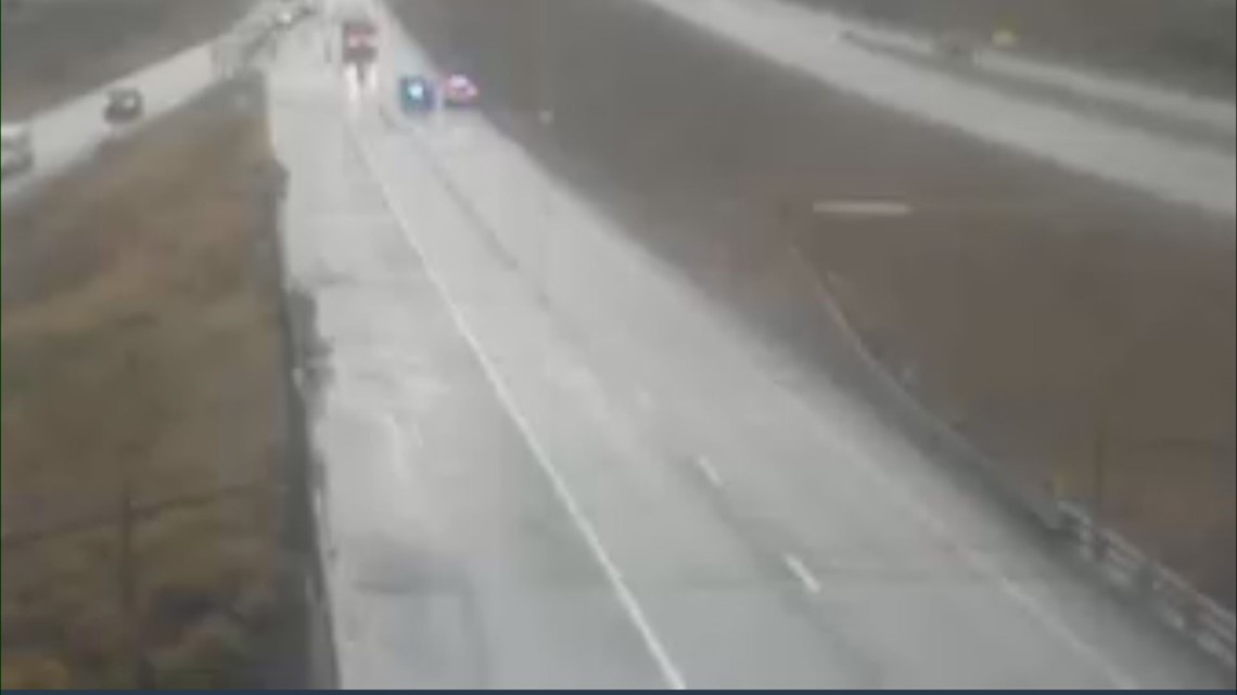
GLENWOOD SPRINGS, Colo. — I-70 reopened after being closed in both directions in the area of Glenwood Canyon due to a Flash Flood Warning with debris flow.
Garfield County Emergency Communications Authority tweeted at 8:39 a.m. that eastbound lanes are closed between West Rifle and Dotsero (mile markers 87 through 133), and westbound lanes are closed between Dotsero and Glenwood Springs (mile markers 133 to 116).
At 1:07 p.m., they tweeted that I-70 was back open in both directions between West Rifle and Dotsero
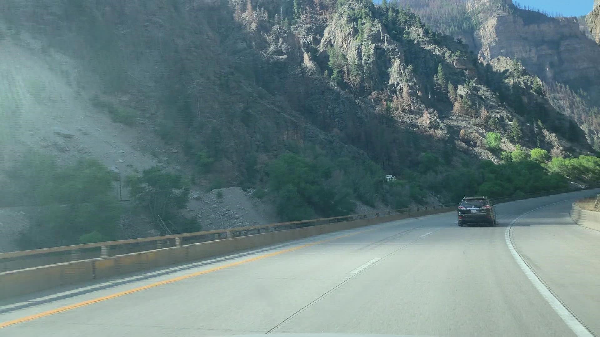
>Video above from August: Driving through the recently reopened Glenwood Canyon.
The Flash Flood Warning was issued until 1 p.m. this afternoon.
A round of heavy rain pushed through western and central Colorado this morning, leading to downpours that triggered the Flash Flood Warning. Grand Junction picked up nearly an inch of rain overnight from the same round of rain.
The Colorado Department of Transportation (CDOT) automatically closes the flood-prone stretch of highway anytime a Flash Flood Warning is issued by the National Weather Service.
The Grizzly Creek burn scar is located right near the highway, and burn scars are especially vulnerable to flash flooding due to the lack of vegetation to absorb moisture. As a result, flood-driven mudslides are common near or even over the interstate.
If detouring, CDOT asked motorists to use the northern alternate route, which adds an extra 2.5 hours of travel time.


Westbound motorists from the Denver metro area should plan on exiting I-70 at Exit 205 (Silverthorne) and traveling north on Colorado 9 toward Kremmling or exiting I-70 at Exit 157 (Wolcott) and traveling north on Colorado 131 toward Steamboat Springs.
Travelers will then continue west on U.S. 40 and then south on Colorado 13 to complete the alternate route and return to westbound I-70 at Rifle (Exit 90).
Motorists traveling eastbound from Utah or Grand Junction can reach the Denver Metro area by traveling the route above in reverse.
SUGGESTED VIDEOS: Severe Weather

