COLORADO, USA — This was a pretty special storm, and for a bunch of reasons.
First of all, Denver picked up more rain Tuesday night into Wednesday (1.23" officially at Denver International Airport, the city's official climate station) than any single storm in over a year.
But the best part of all that needed rain is that it came almost entirely headache-free.
Usually, when Colorado sees significant (and beneficial) precipitation, it's accompanied by severe weather, high-impact snowfall or flooding. With the exception of a bit of slippery travel in the mountains, though, all of this moisture came with basically no headaches.
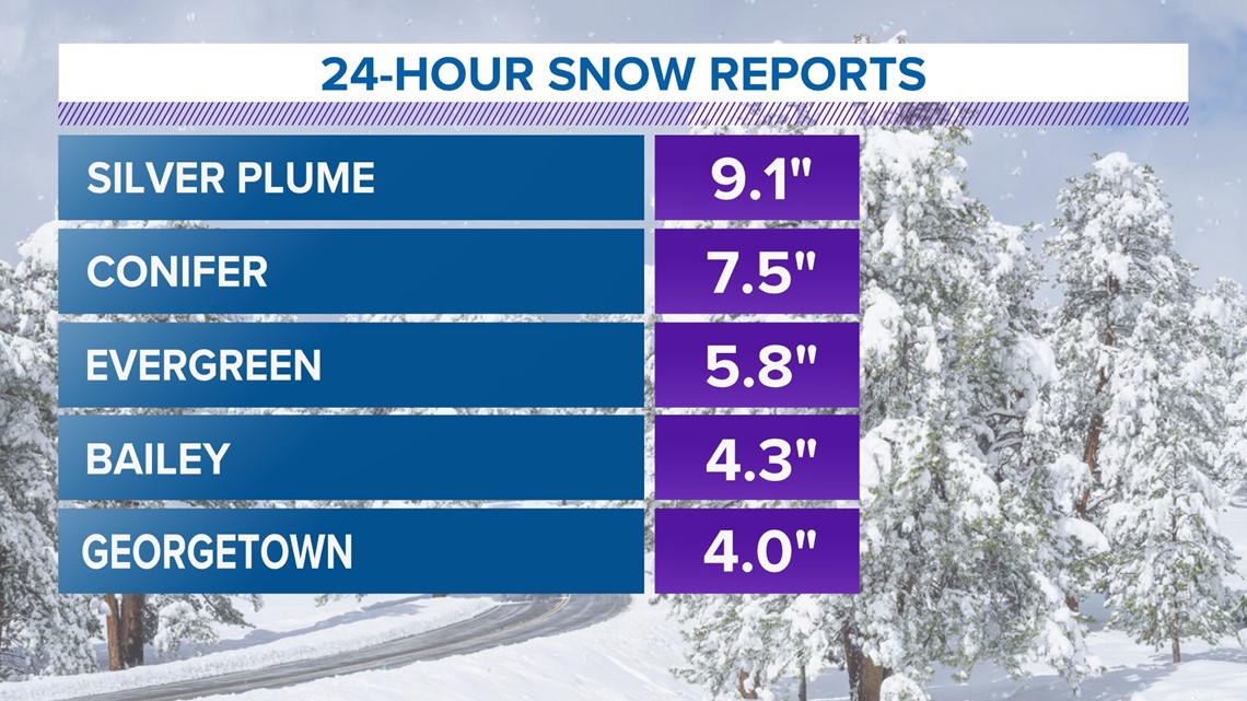
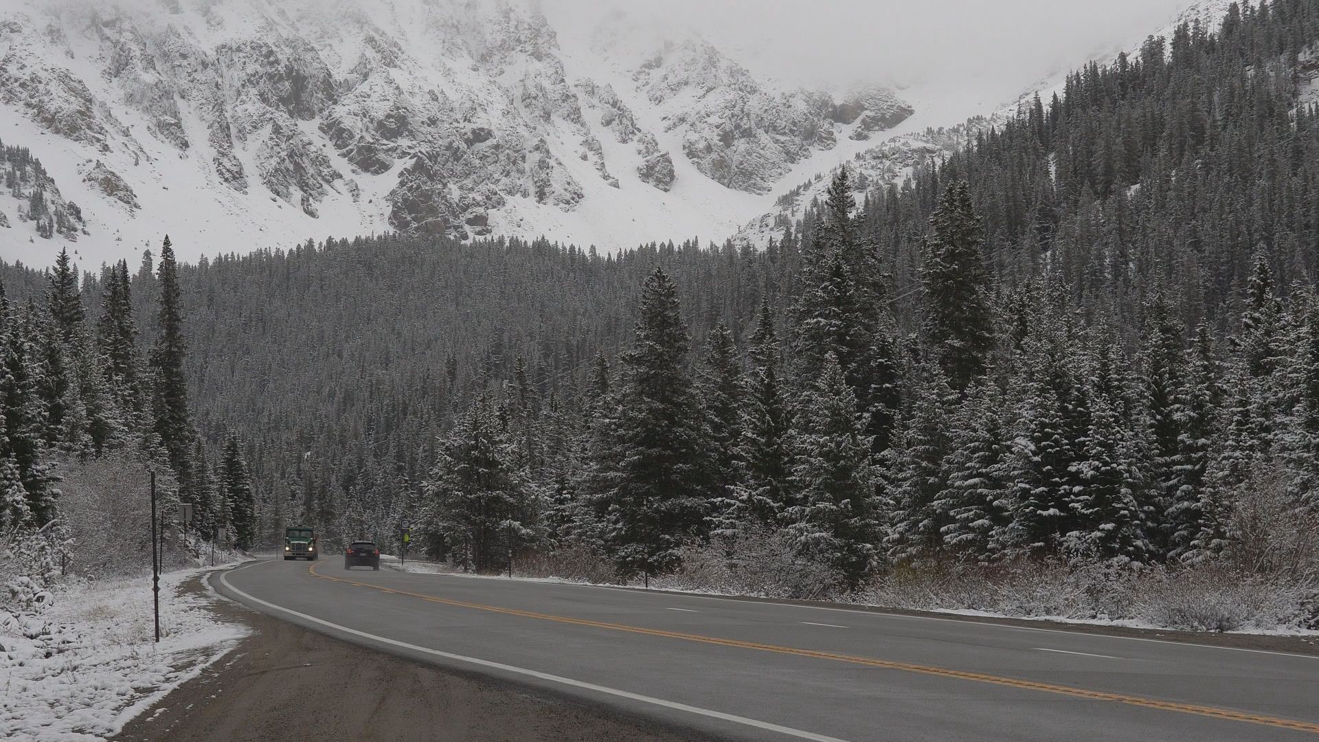
The mountains and the foothills woke up to several inches of heavy, wet snowfall. In some cases, that snow was historic.


Evergreen's 5.8 inches of snowfall made it the most snow on record there during the month of June. Evergreen's weather records date back to 1961. Both Georgetown and Grant saw their biggest June snowstorms since 1979.
Some parts of the mountains picked up as much as 16 inches of snow, an extraordinary snowfall for this late in the spring season.
That said, while the central and northern mountains got blasted with plenty of snow, southern and western Colorado mostly missed out on the beneficial rain and snow.
The San Juan and Sangre de Cristo mountains of southern Colorado barely have any of their winter snowfall left, even as Colorado's statewide season-to-date snowpack sits at close to 100% of its early June average. They also remain mired in severe to exceptional drought, with little relief in the near future.
SUGGESTED VIDEOS: Colorado Climate

