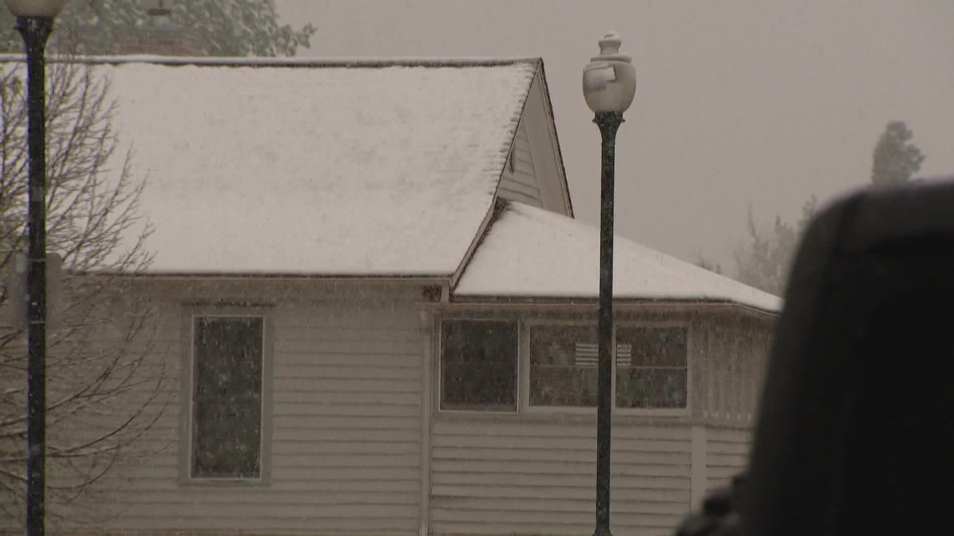
DENVER — Denver and Colorado are on a wild meteorological roller coaster that started with near 90-degree temperatures and high fire danger on Thursday that'll end with a thump of snow tonight and Saturday.
A powerful cold front moved through Colorado on Thursday night, taking Thursday's high temperatures and bottoming them into the 30s by Friday morning.
Snow developed in the mountains first before moving south and east through the day on Friday.
The National Weather Service said in tweet early Friday that confidence was growing for "significant" impacts down into the Interstate 25 corridor.
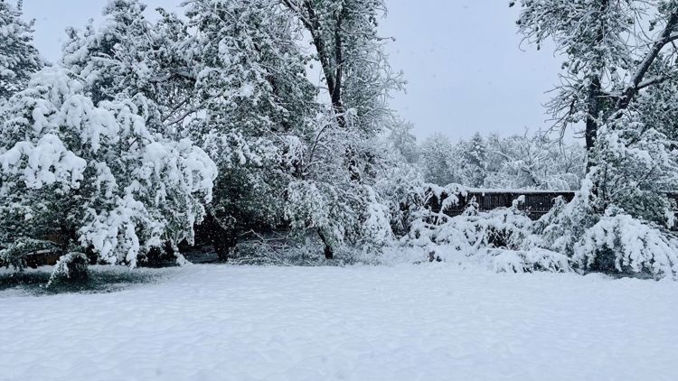
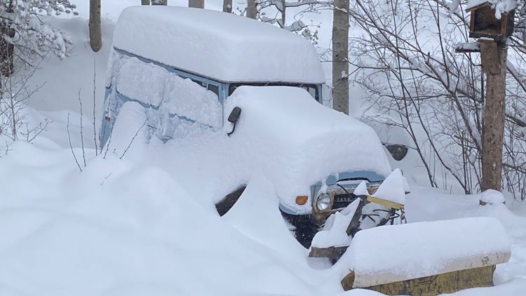
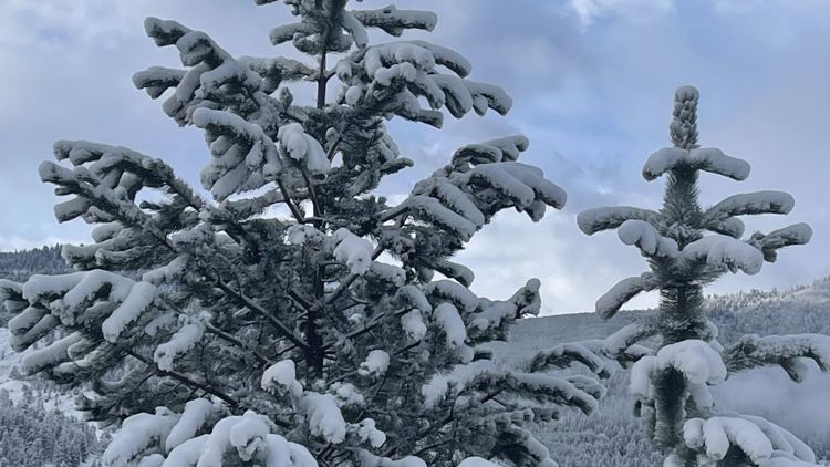
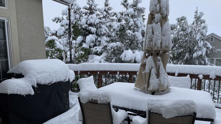
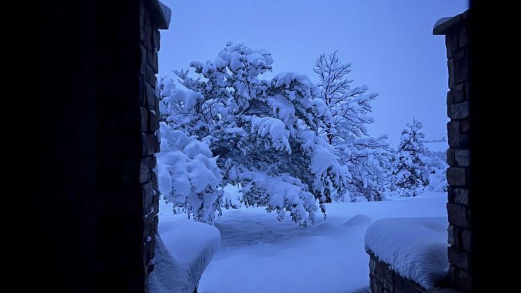
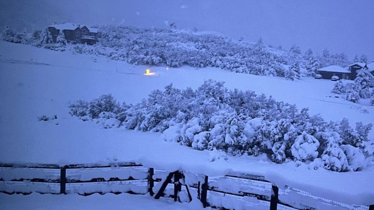
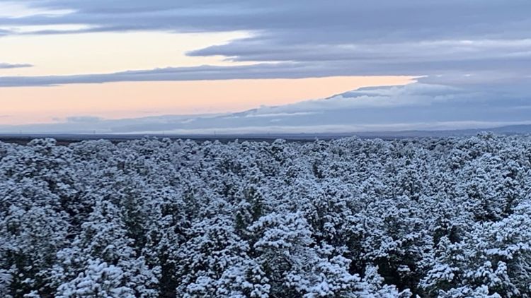
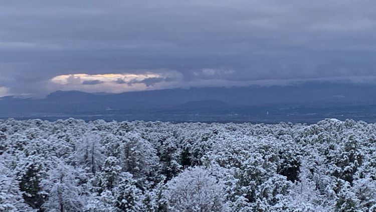
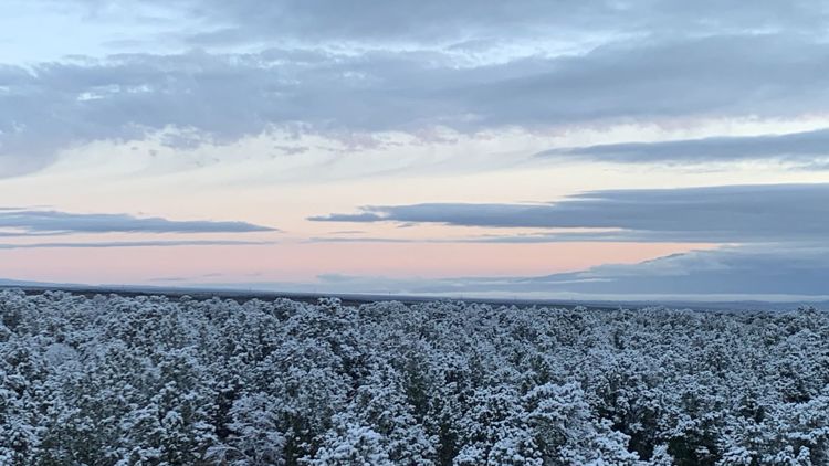
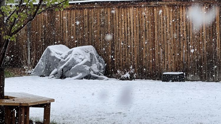
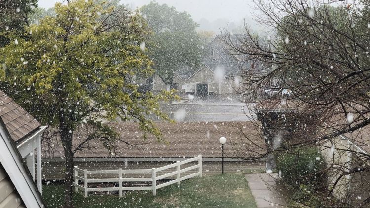
May snow in Colorado
Weather blotter:
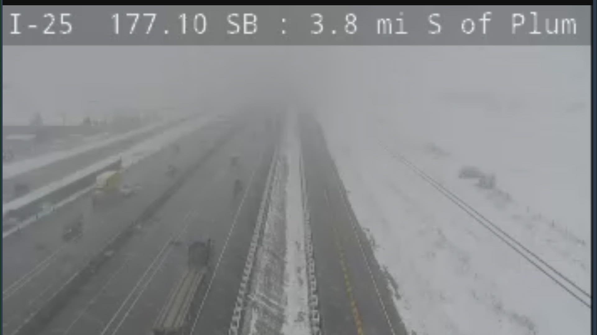
4:50 p.m. Friday: Snow continues to pick up across the metro area, with most areas seeing at least some accumulation at this point.
The heaviest snow will likely fall between now and 8-10 p.m. tonight, when the snow will give way to generally lighter accumulations. Most of the accumulating snow from this event will be done by midnight tonight.
Expect some slick roads after dark, but roads will remain mostly wet until sunset at 8:10 p.m.
3:20 p.m. Friday: An ambulance and pickup truck crashed in Wheat Ridge at Kipling Street and 44th Avenue in Wheat Ridge. Police originally reported that no one was injured, but later they said two people were transported to an area hospital with minor injuries. The person being transported in the ambulance was transferred into another vehicle.
3:17 p.m. Friday: A heavy snow band is setting up just north of central Denver, leading to accumulating snow for the Boulder area and the foothills west of Denver.
Expect some of the heavier snow to move into central Denver over the next 1-3 hours, with limited visibility and snow starting to stick to colder surfaces (car tops, grass).
12:54 p.m. Friday: Rain is gradually transitioning to snow around the Denver area as we speak. Expect all snow by 3 p.m., with very heavy snow between 3-8 p.m. Friday. Look for mainly wet roadways in the immediate Denver area, though the foothills and mountains (especially above 7,000 feet) to have serious issues on the roads.
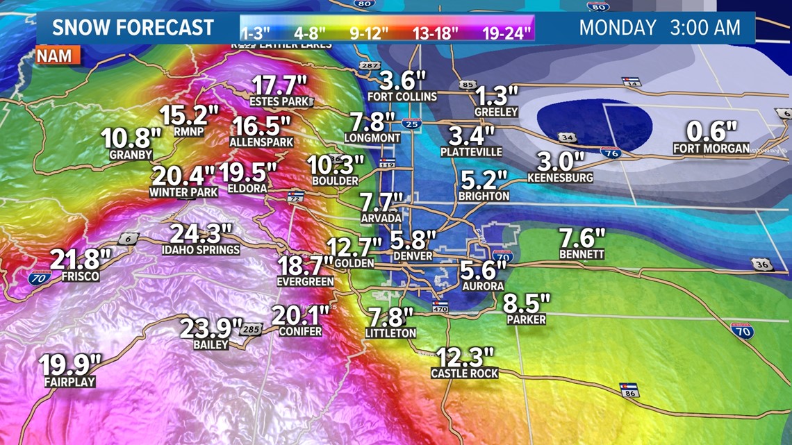
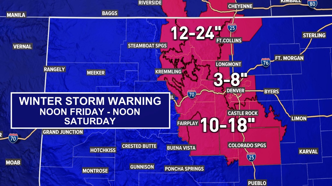
In Denver and for areas below 6,000 feet in elevation (most of the Denver metro area), rain will change to snow sometime on Friday morning. Depending on the exact timing of this system, a slushy 2-8 inches of snow could fall in Denver overnight Friday into Saturday morning.
However, any snow that does fall would only stick to colder surfaces (car tops, grass), and roads should remain mainly wet.
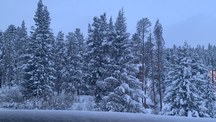
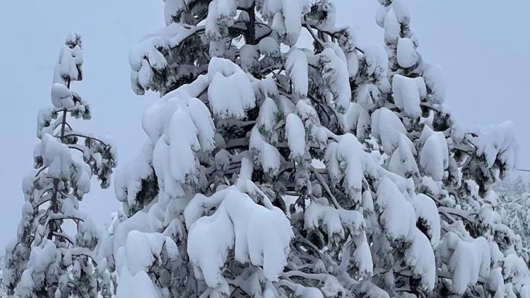
The higher impact snow will fall in the foothills, where as much as a foot of snow could fall above 7,000 feet in elevation. That's where enough snow could fall that downed trees and power lines could be a serious issue.
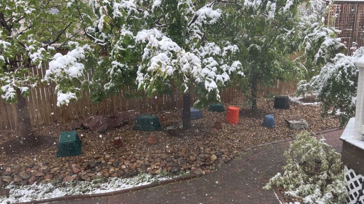
Remember to shake your trees periodically as the snow falls.
Exact snowfall totals are a big challenge with this system. The highest totals will fall in the highest elevations west of Denver, with some areas above 9,000 feet potentially in line for 12-18 inches of snow.


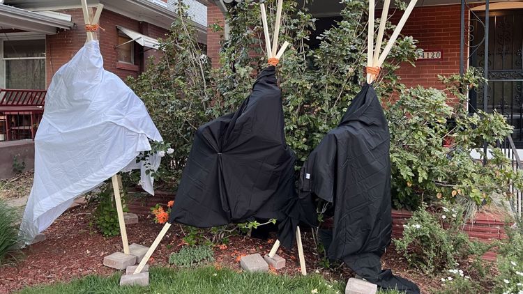
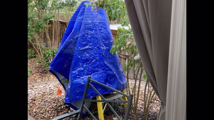
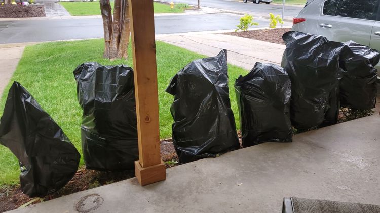
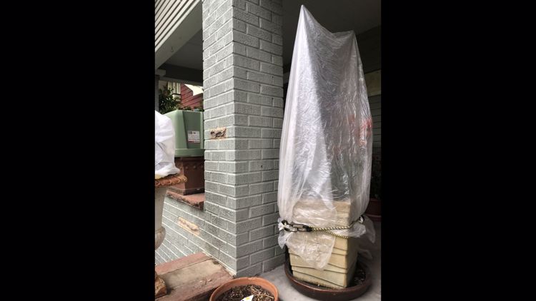
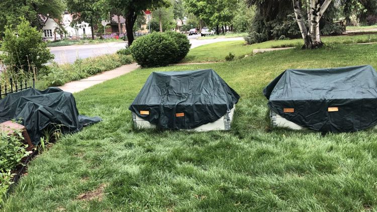
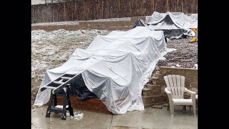
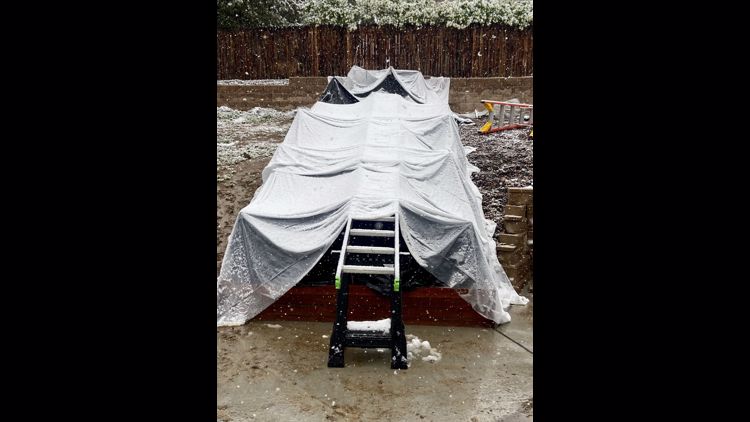
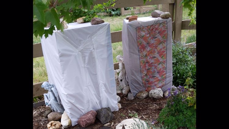
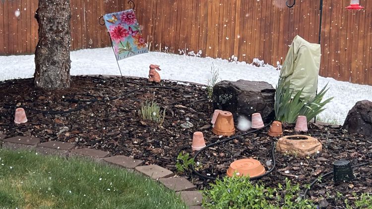
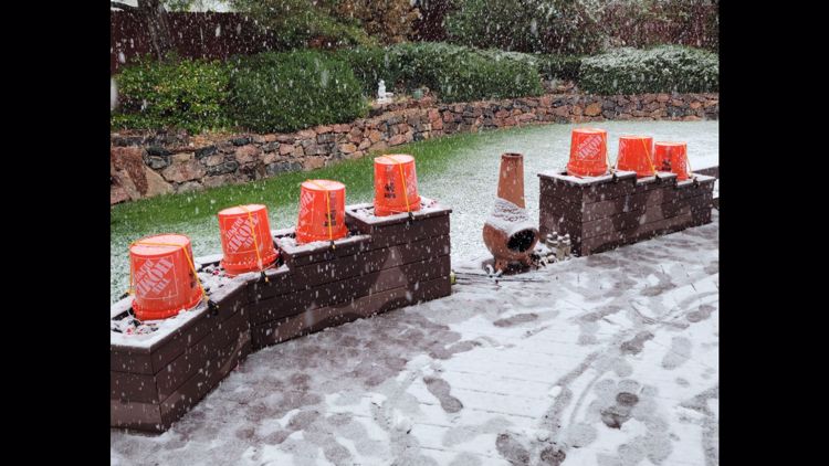
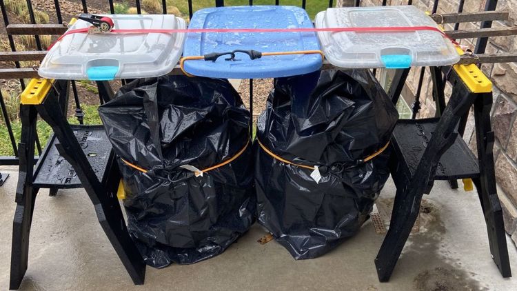
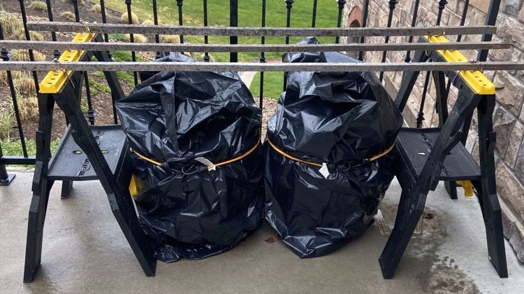
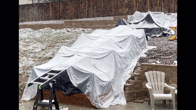
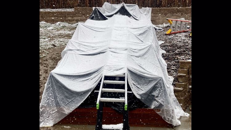
Cover those plants!
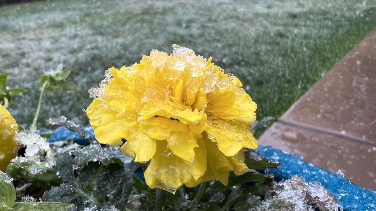
The other big impact from this upcoming storm will be unusually cold temperatures. Temperatures will likely drop to around 30 degrees on both Saturday and Sunday mornings in Denver, potentially leading to a killing freeze.
That means you need to cover up your tender vegetation or bring it inside.
VIDEO BELOW: Snow could lead to leaky roofs
SUGGESTED VIDEOS: Colorado Climate
MORE WAYS TO GET 9NEWS
Subscribe to our daily 9NEWSLETTER
Download the 9NEWS APP
iTunes: http://on9news.tv/itunes
Google Play: http://on9news.tv/1lWnC5n
HOW TO ADD THE 9NEWS APP TO YOUR STREAMING DEVICE
ROKU: add the channel from the ROKU store or by searching for KUSA.
For both Apple TV and Fire TV, search for "9news" to find the free app to add to your account. Another option for Fire TV is to have the app delivered directly to your Fire TV through Amazon.

