
ATWOOD, Colo. — A Flood Warning has been in place this week along the South Platte River from Weld County to Logan County as all the rain and snowmelt from the Front Range heads downstream.
The warning is set to expire on Friday evening.
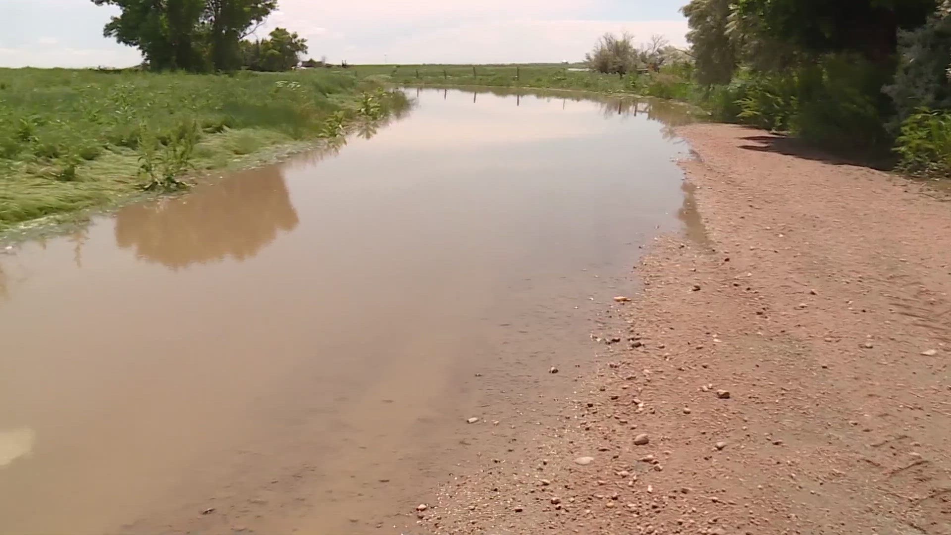
On Thursday morning, the gauge near Atwood recorded the highest crest in eight years, although still more than 5 feet below the record crest set in September 2013.
The gauge near Balzac hit its 5th-highest crest on Wednesday morning. And the Fort Morgan gauge hit its 2nd-highest crest on Tuesday night.
The impacts have been minor with mostly flood damage to agricultural fields along with some washed out roads and closures.
The water is mostly from recent rains and snowmelt on the Front Range working its way downstream.
After three straight years of drought on the South Platte, there is now an excess. Which means there is more water leaving the state of Colorado than we are contractually obligated to allow.
The South Platte River Compact says we must allow 120 cubic feet per second (cfs), which is about 900 gallons of water every second, to cross our border into Nebraska.
That's during the Apr. 1 through Oct.15 irrigation season.
More than 1,000 cfs of water has been crossing the state line at Julesburg since Tuesday.
Colorado does not get credit for any extra water we send downstream, but at least everyone with water rights on the South Platte is getting the water they need, and the state's reservoirs are filling up.
Prewitt Reservoir and the other five major reservoirs on the South Platte east of Greeley are all at full pool.
In drought years, Colorado is still obligated to fulfill the agreement of the South Platte River Compact. If the 120 cfs streamflow is not met, Colorado must curtail water rights in the lower section of the river that are junior to June 14, 1897.
The lower section of the river is generally from Brush, downstream. Once Colorado does that, we are in compliance with the compact and no further obligation.
SUGGESTED VIDEOS: Colorado Climate