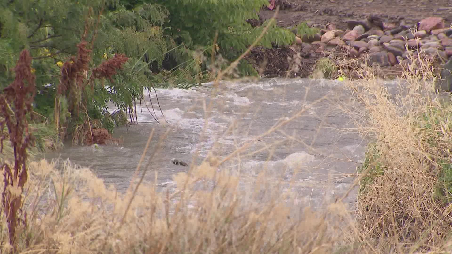
COLORADO, USA — A Flash Flood Warning for parts of Boulder and Broomfield counties expired Tuesday morning, but it was several hours before street flooding caused by the downpour receded.
The National Weather Service in Boulder said the Flash Flood Warning for southeastern Boulder County and southwestern Broomfield County was in effect until 11 a.m.
As much as 3.62 inches of rain fell in parts of Broomfield in just an hour and a half Tuesday morning. For context, that's more than double the city's average August rainfall of 1.60 inches.
The narrow swath of heavy rainfall covered much of the area impacted by the Marshall Fire last December, including Louisville and Superior in addition to Broomfield.
Bruno Rodriguez, a meteorologist for the National Weather Service in Boulder, said it was likely some "minor impact" would occur in the burn scar.
"But overall, the terrain where the Marshall Fire occurred is very gentle and rolling. So it's not of extreme concern when it comes to potential for debris flows or flash flooding," Rodriguez said. "There also isn't a ton of large vegetation or trees which can result in debris moving downslope, as opposed to burn scars like the Cameron Peak or East Troublesome, where that's going to be a concern."
Street flooding happened in Broomfield and Lafayette after more than 3 inches of rain fell in just a few hours in some spots. Drivers were advised to avoid flooded roads and underpasses.
The city and county is assessing roadways, sidewalks, parks, soft trails and open spaces for debris and other damage.
Up in Boulder, the Valmont Bike Park Trails were closed due to heavy rain.
Additionally, Boulder County Open Space closed the Geer Canyon access to Heil for the remainder of Tuesday.
Ken Rutt, the Deputy Director of Public Works for the City and County of Broomfield, said the rainfall was a "significant event."
"It was probably the biggest one since the floods," he said, referring to the 2013 floods. "We had 3.5 inches in like three hours. So it definitely put the system to the test."
The system he's talking about is Broomfield's stormwater system, which includes 150 miles of underground system, as well as 300 detention ponds.
The system is designed to move the water away from communities and back into the stream, specifically leading out to Dry Creek.
"So the drainage system did what it was supposed to do -- move the water through the community into Big Dry Creek so it can transfer down through the drainage system," Rutt said.
While the moisture is welcome news for the Denver metro's drought conditions, Rodriguez said not all parts of the state are receiving the rainfall.
"But really, the most severe drought conditions right now are out over the plains, especially the northeast plains," he said. "And they receive quite a bit less rainfall the past couple of days compared to the Denver metro. So in terms of the areas that need it the most, we're still struggling a little bit."
That's not good news for the future of the northeast plains' fire risk, Rodriguez said.
"Well, obviously, it's a big agricultural area. So that's a concern for agriculture," he said. "And also a fire risk in the long term. It takes a while to really come out of exceptional drought conditions like those that are in place in the northeast plains. So in the long term, we're definitely going to be looking at elevated fire danger up in the plains through the fall."
SUGGESTED VIDEOS: Severe Weather

