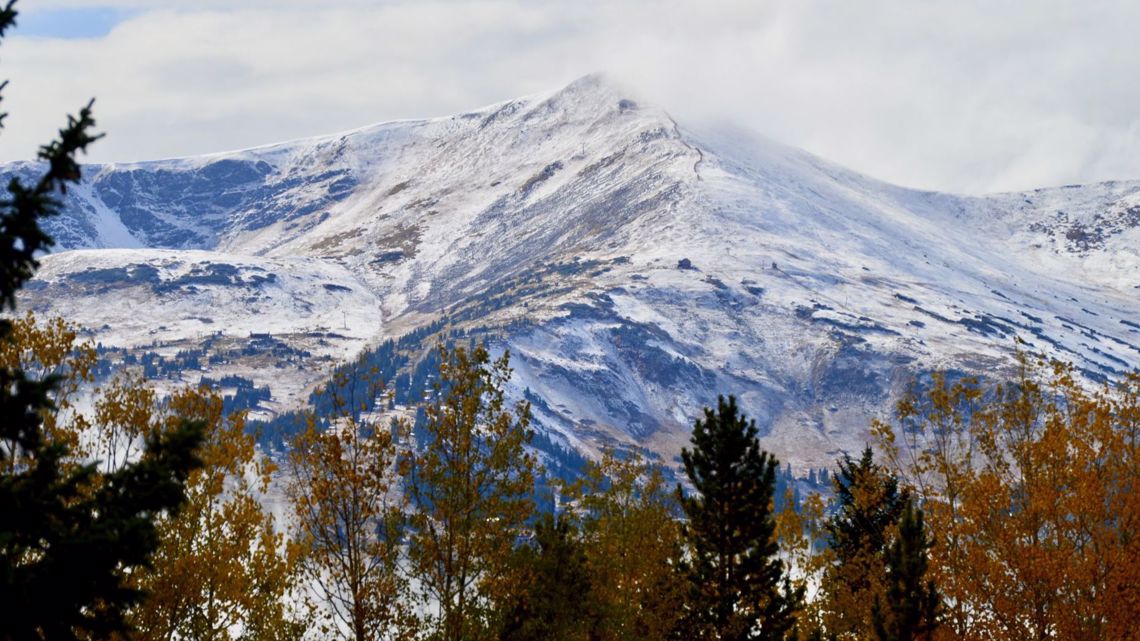
COLORADO, USA — Colorado's mountains will likely get their first widespread and significant snowfall event of the season this weekend, with up to a foot of snow possible in some of our highest elevations.
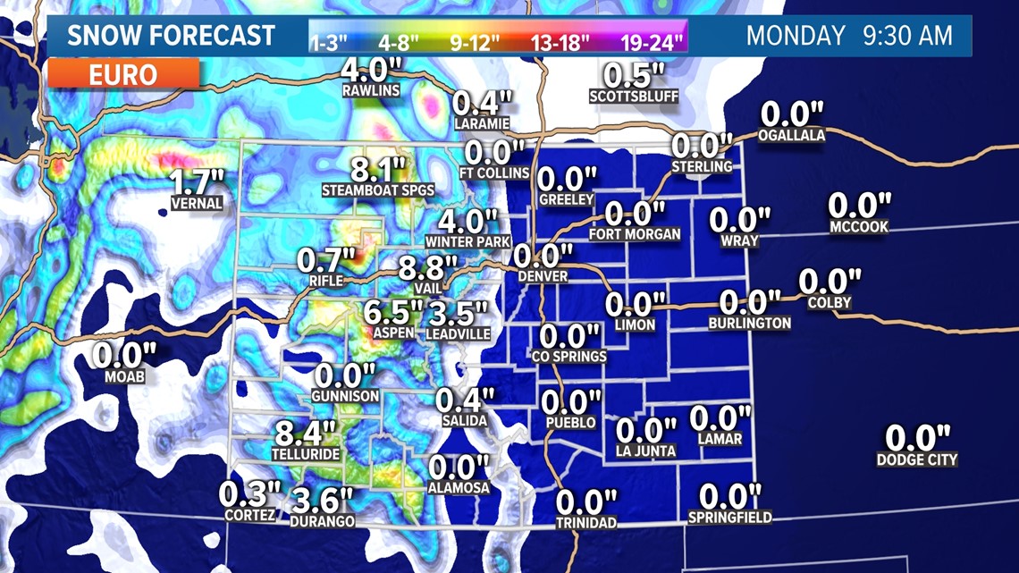
A strong area of low pressure will move through Colorado this weekend, likely leading to a healthy snowfall for most of the mountains. Several inches of snow look likely above 7,000 feet in elevation, including most of the state's major ski resorts.
The majority of the snow will fall on Sunday, and it'll stick on highways and roads. Travel will be difficult in the mountains through the day on Sunday.
Some favored areas could even see as much as a foot of snow before the storm is said and done on Monday morning. Most of the mountains should get at least 3-6 inches of snow, helping build the state's snowpack at the start of the season.


Denver snow chances?
Don't hold your breath, Denver. Our snowless October will likely officially continue through this storm.
There's a good chance that we'll see at least a few flakes on Monday morning, and perhaps a dusting in a few areas. The best chance for any measurable snowfall in the metro area would be across the Palmer Divide above 6,000 feet in elevation.
In order for the snow to officially count, though, we need at least a tenth of an inch at Denver International Airport. That appears unlikely to happen.
The main impact for the metro area will be much cooler conditions, with highs in the 50s likely on Monday and Tuesday and our first metro area freeze of the season possible as well. There's a chance for more cold weather and perhaps a few more snowflakes later next week as well.


Fire danger
It's not all just snow and rain, though. Ahead of this weekend's storm, strong winds, dry air and warm temperatures will boost fire danger for the Front Range.
Fire danger looks particularly high on Friday and Saturday, thanks to winds that could gust over 40 mph on the Eastern Plains along with relative humidity levels at or below 10%. That'll set the stage for potentially critical fire weather conditions before our sharp cooldown and any rain or snow that we do get.
RELATED: Warm, windy Wednesday
SUGGESTED VIDEOS: Colorado Climate

