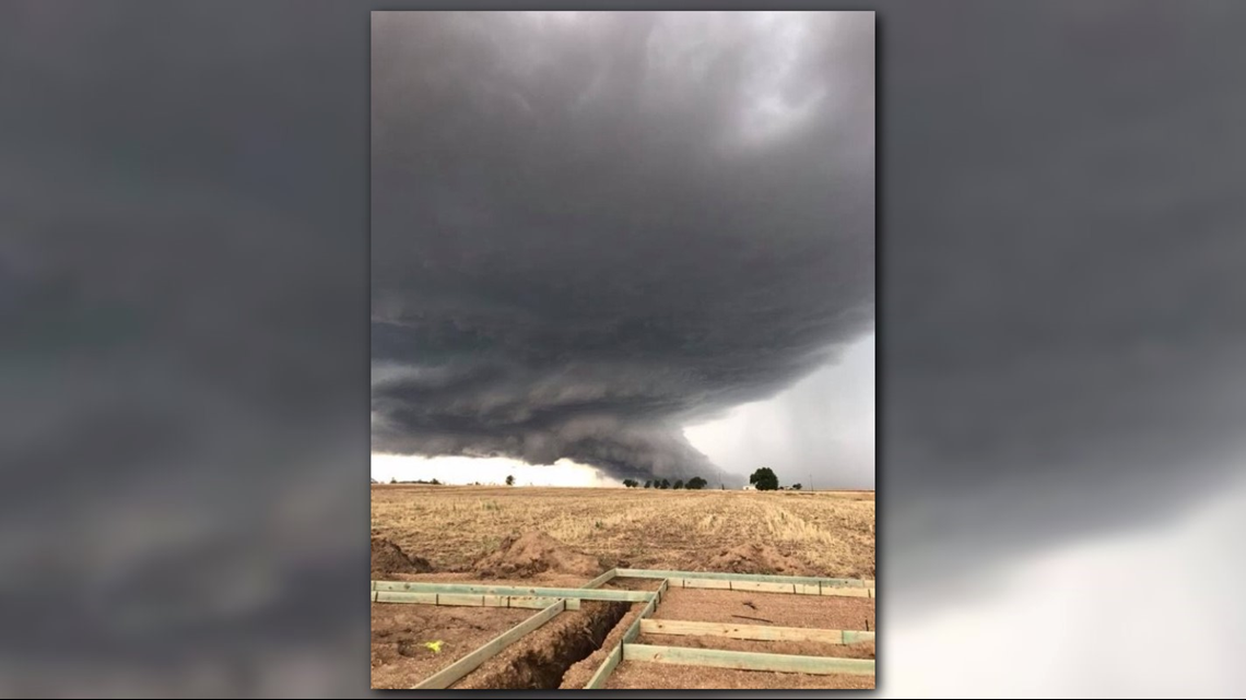
KUSA - An unusual amount of moisture across the Front Range led to some pretty striking storm formations Tuesday afternoon.
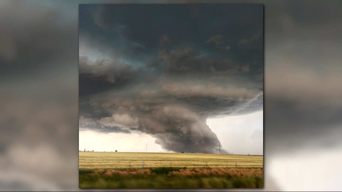
Several pictures from viewers near Fort Lupton came in with pictures of storm that eventually went on to produce a tornado.


While this picture may look like a tornado, it's more likely this is a halfway organized wall cloud. The picture shows a classic supercell structure with a low cloud base and broad rotation.


The area between the main clouds and the ground is an area of inflow, where strong updrafts rapidly bring air into the storm.
Storms like this aren't common in Colorado because typically we have much drier air.
They're more likely in Kansas or Oklahoma.
%


