
DENVER — Overnight temperatures have been getting cooler, but we still haven't seen our first freeze of the season in Denver. By the time it does come, it could be one of the latest ever.
We're keeping an eye on a potential notable weather pattern flip for next week, with the European model strongly hinting at an active weather week starting as early as Monday or Tuesday. There are still some big disagreements among the main computer forecast models, so specifics are lacking. But it appears pretty likely that we'll have our first freeze of the season next week in the Denver area, and maybe our first snow as well.
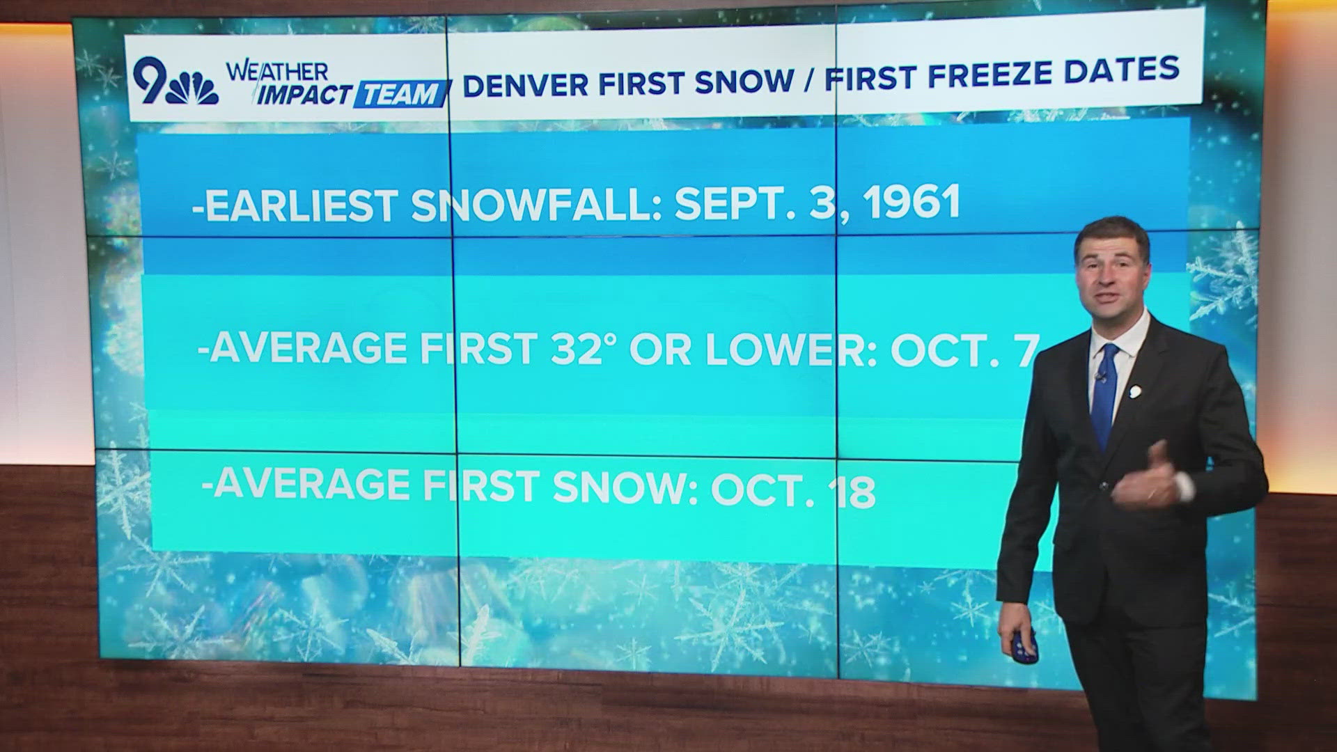
The average date of the first freeze in Denver -- the first time the temperature dips to 32 degrees or below -- is Oct. 7. This season, the coldest temperature so far in Denver has been 39 degrees.
The latest first freeze on record in Denver was Nov. 15, in 1944.
The fourth latest was Oct. 30, 1974, according to the National Weather Service. Chances are, the first freeze of this season will come around then.
As for snowfall, the average date that Denver sees its first measurable flakes is Oct. 18, according to the National Weather Service. That date has come and gone, but there's a good chance that next week, Denver will get on the board with our first freeze, and possibly even our first measurable snow, of the season.