DENVER — If you remember the hot stretch of weather Colorado had in early July, get ready for a repeat this week.
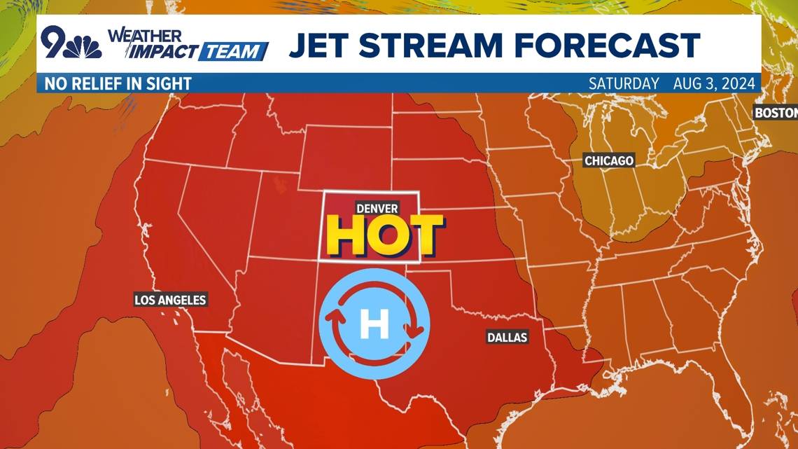
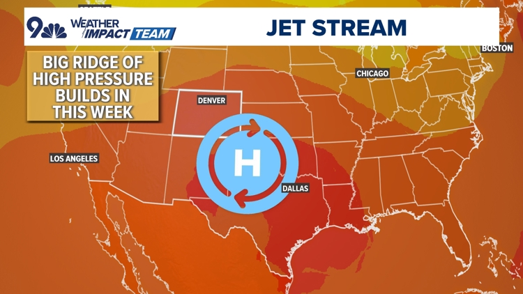
A ridge of high pressure will build across the southern Rockies as dry desert air flows into Colorado from the west and southwest.
The 9NEWS Weather Impact Team has forecasted that the dry airmass and the high pressure will mean several days of hot, dry weather ahead.
High temperatures in the Denver area will be in the upper 90s all week and a few daily records could be challenged this week.
Monday
- Denver high temp record: 99° set in 2005
- Forecast: 97°
Tuesday
- Denver high temp record: 101° set in 2005
- Forecast: 98°
Wednesday
- Denver high temp record: 100° set in 1889
- Forecast: 96°
There's an Air Quality Alert until at least 4 p.m. Monday along parts of the Colorado Front Range for ground ozone and a little wildfire smoke in the air as well.
The majority of the wildfire smoke is expected to stay north of Colorado this week, but there's going to be a bit of it mixing in at times thanks to fires currently burning in California and Arizona.
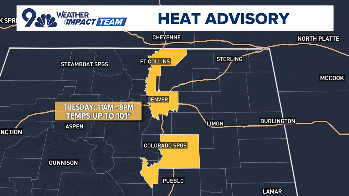
A Heat Advisory is in place for Tuesday, with temperatures ticking up a degree or two for much of the Interstate 25 corridor. Highs will top out near 100°.
There's no real relief in sight, although the 9NEWS Weather Impact Team said some computer forecast models are hinting at perhaps some monsoonal showers and storms returning to the picture more for next week, with highs potentially ticking down as well.


