COLORADO, USA — Think of snowpack as water in a frozen bank— knowing how much water is in that bank tells us how much we’ll have to spend in the summer when it melts. So, hydrologists track snowpack levels every day starting in mid-October, through the peak levels in April, and the melt into June.
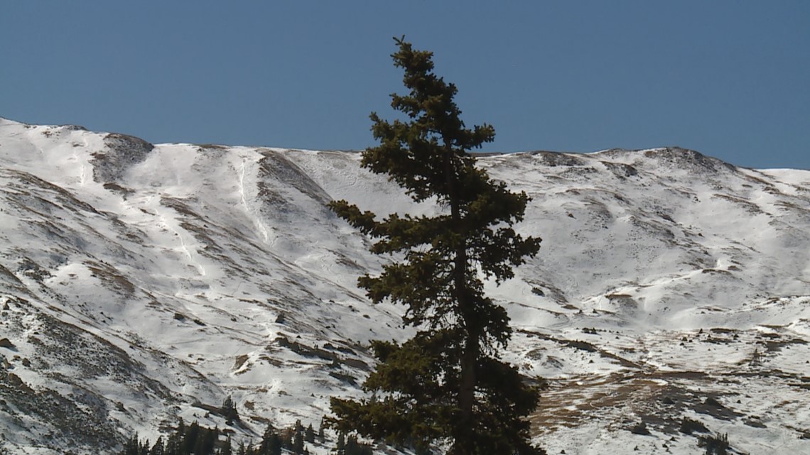
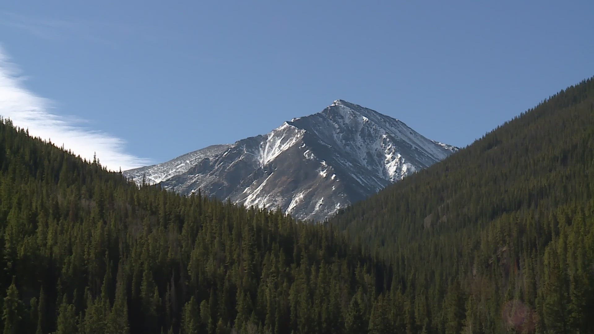
The view from Loveland Pass on Wednesday morning showed that snowpack is off to a good start there, and it’s even better in other parts of the state.


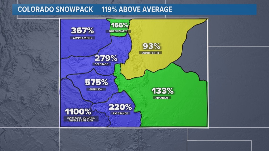
The map that scientists use divides Colorado into eight different headwaters, and so far, the highest average is in the southwestern San Juan mountains. Statewide, snowpack was at 0.3 inches of snow-water equivalent as of Wednesday, which computes to 119% above average.


Albedo
Snowpack in the month of October can have a huge impact on the entire season because white snow has an extremely high albedo, which is a substance's ability to reflect light. When there is a layer of snow cover early in the season, most of the sun’s heat is getting reflected away keeping the mountain side cooler. Then, when the next storm rolls around, more snow will stick instead of melt.
In recent years, however, a fast start has not necessarily resulted in above average snowpack at the end of the season. October has been a very snowy month in Colorado, with above average snowpack six seasons in a row— but only half of those seasons finished above average.
SUGGESTED VIDEOS: Colorado Climate
9NEWS+
9NEWS+ has multiple live daily shows including 9NEWS Mornings, Next with Kyle Clark and 9NEWS+ Daily, an original streaming program. 9NEWS+ is where you can watch live breaking news, weather updates, and press conferences. You can also replay recent newscasts and find videos on demand of our top stories, local politics, investigations and Colorado specific features.
To download 9NEWS+ on Roku search for KUSA.
To download 9NEWS+ on Fire TV search for 9NEWS.

