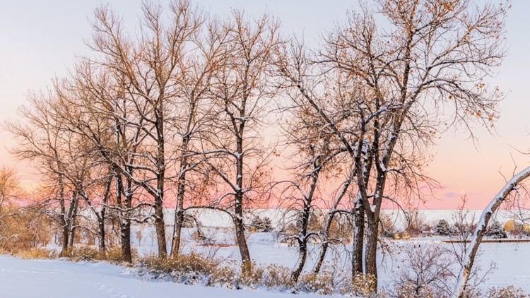
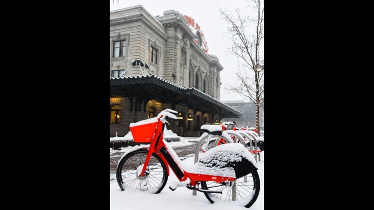
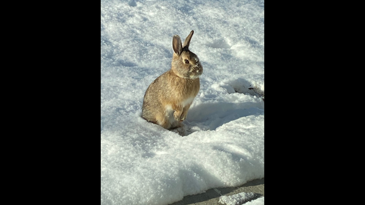
DENVER — Another blast of snow arrived in the state Monday afternoon into Tuesday morning.
While it didn't leave behind as impressive of totals as we've seen recently, some areas west of Interstate 25 still stacked up plenty of fresh powder.
Temperatures for the Denver area remain below freezing Tuesday and are only expected to climb into the mid-30s for highs.
We'll get a brief break from the winter weather today before snow returns to the forecast on Wednesday afternoon.
Here's how much piled up from our most recent winter storm, according to National Weather Service.
- Arvada - 3.3 inches
- Aurora - 3.4 inches
- Berthoud - 2 inches
- Beulah - 12 inches
- Blue Valley - 7.4 inches
- Boulder - 6.5 inches
- Brookvale - 5 inches
- Castle Pines - 3.1 inches
- Castle Rock - 4 inches
- Centennial - 3.2 inches
- Colorado Springs - 3 inches
- Commerce City - 3 inches
- Denver International Airport - 1.8 inches
- Elizabeth - 3 inches
- Estes Park - 4.5 inches
- Evergreen 5.2 inches
- Florissant - 4.2 inches
- Fort Collins - 4.2 inches
- Foxfield - 3 inches
- Genesee - 5.8 inches
- Highlands Ranch - 3.8 inches
- Ken Caryl - 3.5 inches
- Leadville - 3.9 inches
- Lone Tree - 3 inches
- Louisville - 3 inches
- Monument - 4 inches
- Nederland - 6.2 inches
- Palmer Lake - 4.5 inches
- Ponderosa Park - 4.3 inches
- Pueblo - 5.5 inches
- Rye - 12 inches
- San Isabel - 9 inches
- Thornton - 1.8 inches
- Trinidad - 3 inches
- Westcliffe - 6 inches
- Wetmore - 14 inches
- Wheat Ridge - 2.7 inches
- Woodland Park - 3 inches
(Note: This story will be updated as more totals come in).
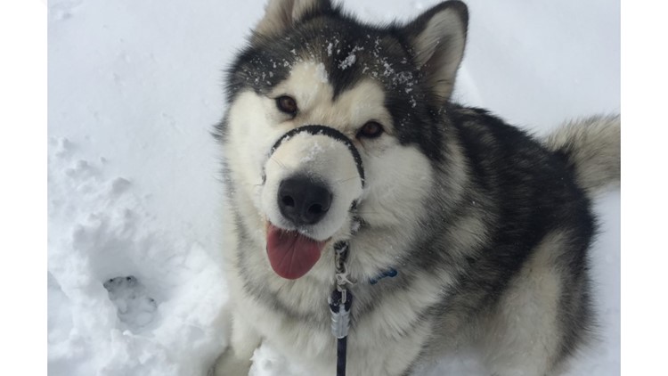
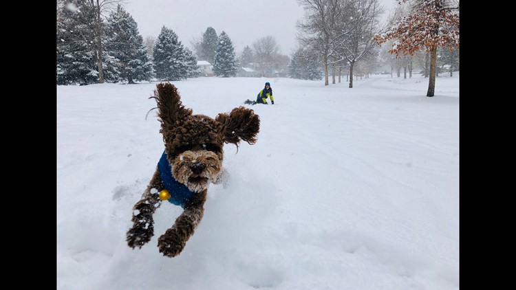
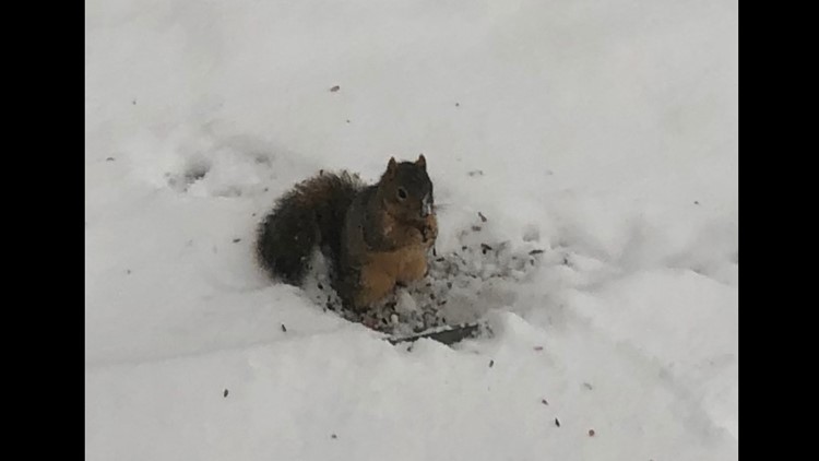
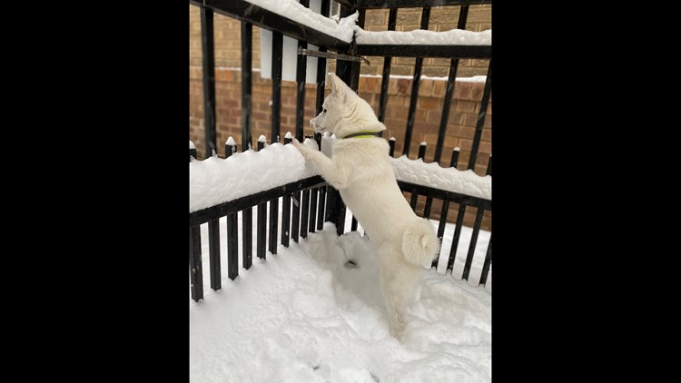
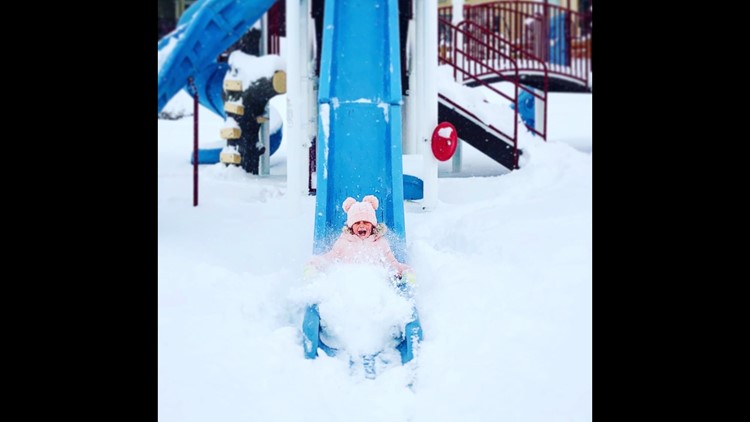
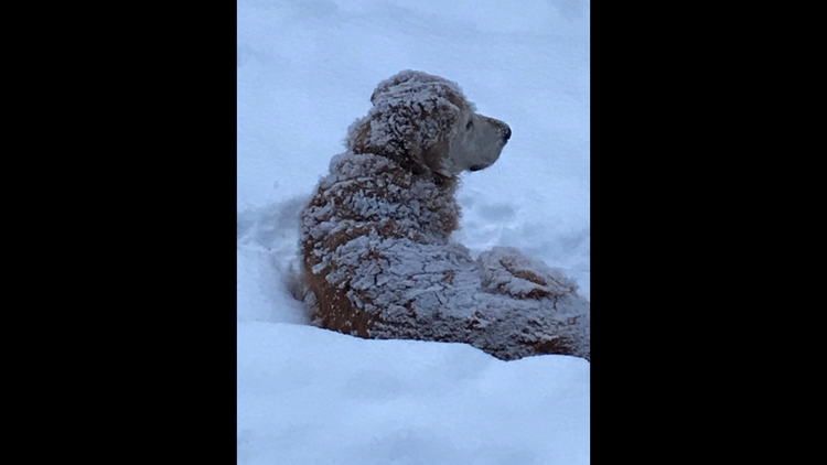
PHOTOS | Animals brave the cold to play in the snow
SUGGESTED VIDEOS: Local stories from 9NEWS


