DENVER — This was not the first time the Front Range ended up with relatively low snow totals during a multi-day arctic blast, so it's understandable if some people might assume there's a connection between extreme cold and light snow.
Technically there is a connection, but the cold air is not to blame alone. In fact, it is never too cold to snow. The cold is a product of the same atmospheric conditions that caused the lack of snow.
There was a total of 2 to 6 inches of snow reported across the Front Range during this three-day polar plunge, but the southwest San Juan mountains got hit by the same storm and the same cold temperatures, and yet places like Purgatory Ski Resort managed to get 45 inches of snow.
The atmosphere over southwest Colorado had close to the same water content as the air over the Front Range, too.
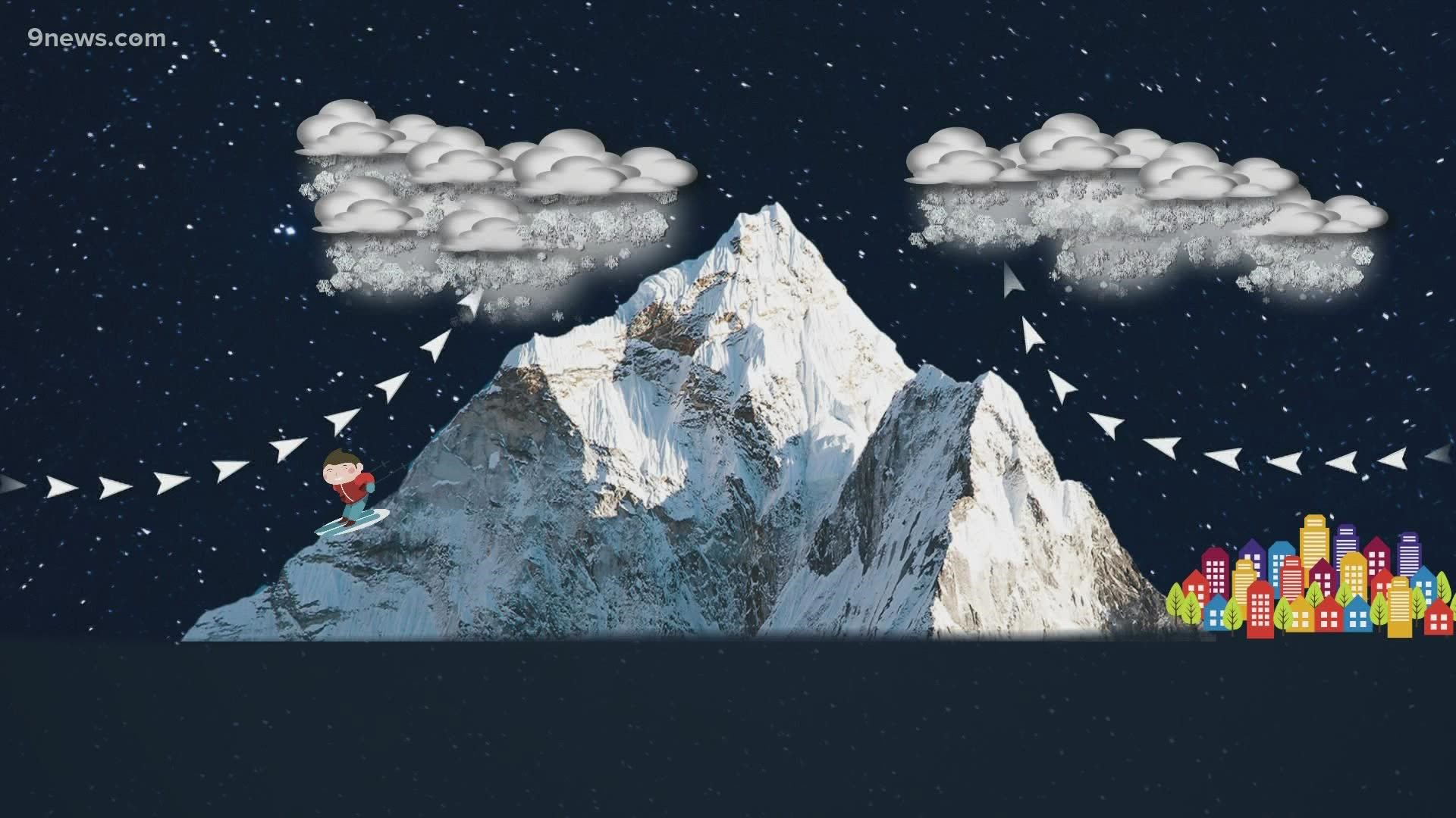
The difference was made by something called lift. It's one of the key ingredients to heavy snowfall.
They got that in the San Juans, because the west winds pushed the air up the slope of the mountains.
On the Front Range, air needs to come out of the east to rise up the mountains. There just wasn't much east wind this time.
Another way to get air to rise is something called instability.
If the air at the ground is warmer than the air in the sky, it will rise and form precipitation. But the air at ground level this week, was just about as cold as the air higher up in the atmosphere. That makes it difficult for air to rise.
That is called stable air, and was responsible for the low snow totals on the Front Range this week.
The other advantage that southwest Colorado had over the Front Range was a stronger jet stream overhead. That's another way to get lift. The faster a jet of air high in the atmosphere is moving, the faster the air at the surface will lift.
It's called upper-level divergence. It kind of acts like a vacuum, sucking air up toward the jet.
One other way to get lift is convergence of air at the surface. The Front Range did get this a few times over the three-day stretch, mostly when cold fronts flipped the air around from the east.
That resulted in a few short-lived narrow snow bands which provided most of the snow accumulation on the Front Range. Those periods of lift just were not strong enough nor did they last long enough to bring us significant amounts of snow.
So the next time the Front Range gets an arctic blast without huge snow totals, don't say the air was too cold, or too dry -- say it was too stable.
SUGGESTED VIDEOS: Snow in Colorado

