BOULDER, Colo. — The second snow of the season in Denver iced the roadways causing headaches for metro area drivers on Tuesday morning, but the storm’s forecast didn’t quite meet the criteria for the National Weather Service (NWS) to issue an alert beforehand.
“Well, it does snow a lot in Colorado," said NWS meteorologist Paul Schlatter "So, we would be concerned about warning or advisory fatigue.”
He said it’s kind of like the ‘boy who cried wolf’, you want to make sure there’s a wolf before you alert the town.
And he said the forecast for Tuesday morning just didn’t look like a wolf.
“In hindsight, this morning’s event did have impacts that were worthy of an advisory," he said. "Just by the time those impacts occurred it was a little late to issue one.”
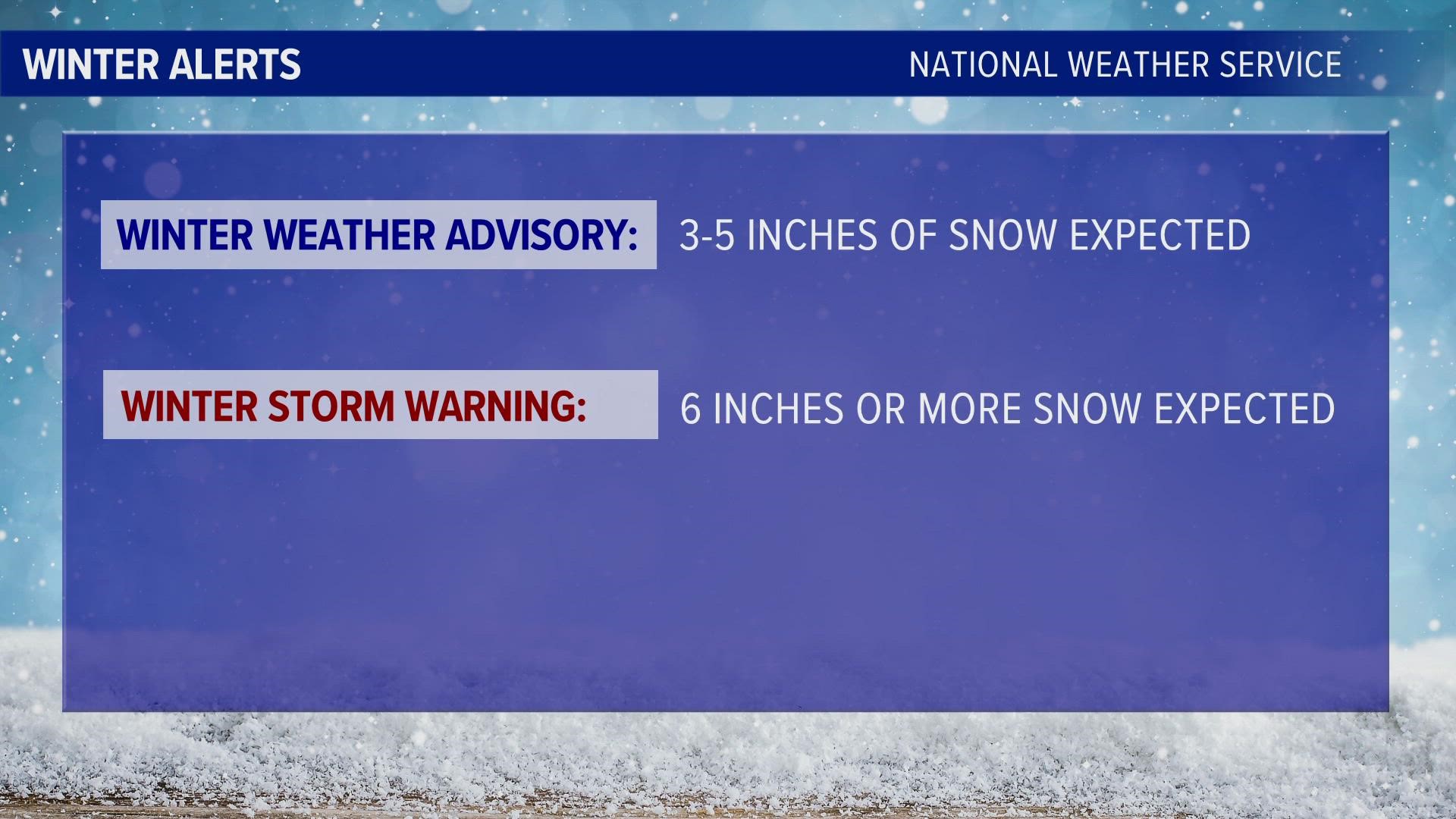
He said that they usually issue alerts called a Winter Weather Advisory if there are 3 to 5 inches of snow forecast for the urban corridor between Ft. Collins and Denver, or for the eastern plains. And they issue a Winter Storm Warning if 6 inches or more is in the forecast.
For the foothills and mountains, the thresholds are a little higher because of snow frequency and the general preparedness of those areas.
But he said the NWS is trying to get away from relying on those specific thresholds as much, and instead lean more towards the possible impacts to roads.
Because the timing of this storm and the temperature of the roads were more important that the overall snow totals.
“So future events like that, we should issue an advisory just expecting those types of impacts to travel, especially during the morning commute.”
SUGGESTED VIDEOS: Colorado Climate

