DENVER — When snow forms into narrow and concentrated bands, it falls faster but for a shorter amount of time – and in most cases, that has more impact than bigger totals.
That will likely be the case for Tuesday morning's storm.
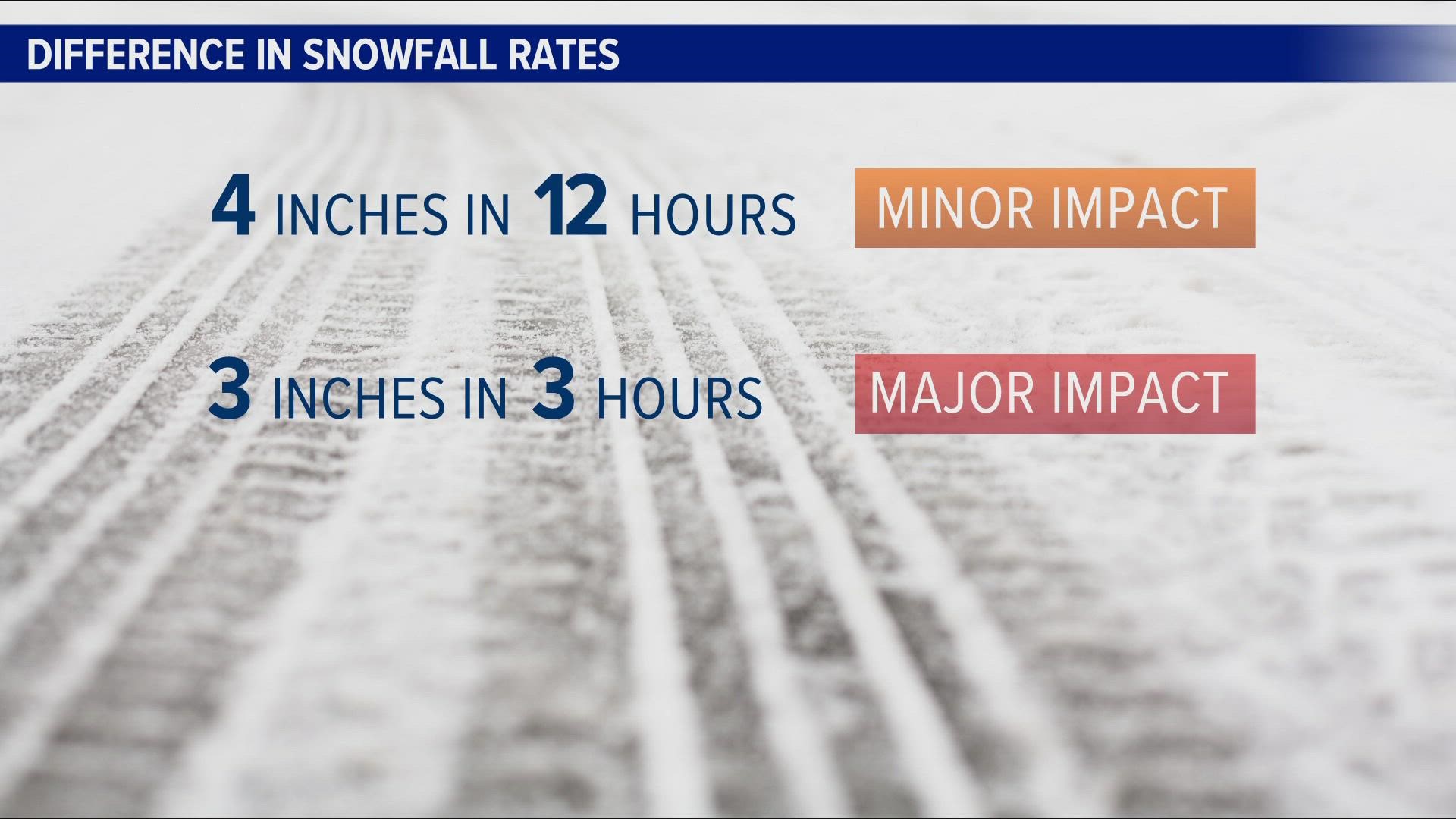
Four inches of snow could fall in some spots on the Front Range over a 12-hour period. Only minor driving impacts would be expected with that rate.
But three of those four inches could fall in just four hours or less because of snow banding. That usually results in a higher impact on the roads because heavy snow makes visibility worse, and the snow builds up on the roadway quicker, often covering the road right back up after a plow goes by.


Snow banding is very likely with this storm because of the position of the jet stream over Colorado. It provides isolated but additional lift in narrow streaks along the area where the frontal boundary sets up.
The timing and location of those bands are difficult to predict because the movement of the front can vary and there is very little guidance as to where or how long jet streaks will last.
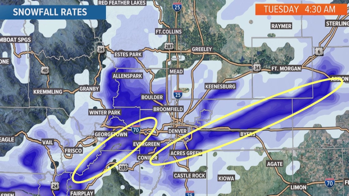
The high-resolution computer forecast models have been showing snow banding consistently with Tuesday morning's storm, and they have been consistently showing over the Front Range and adjacent foothills.


One possibility is that the larger snow band sweeps the length of the Front Range starting in Fort Collins around midnight and making it into Douglas County by 6 a.m. -- at least according to a few models.
There will be other lighter snowfall rates that will make up the rest of the accumulation on the Front Range, but those rates are more manageable on the roads.
The models show that the heavy banding potential will start to diminish around 7 a.m., which would mean the busiest part of the morning commute could get spared the highest snow impacts.
The National Weather Service could issue what’s called Snow Squall warnings to help people identify the location of those bands when they form.
SUGGESTED VIDEOS: Colorado Climate

