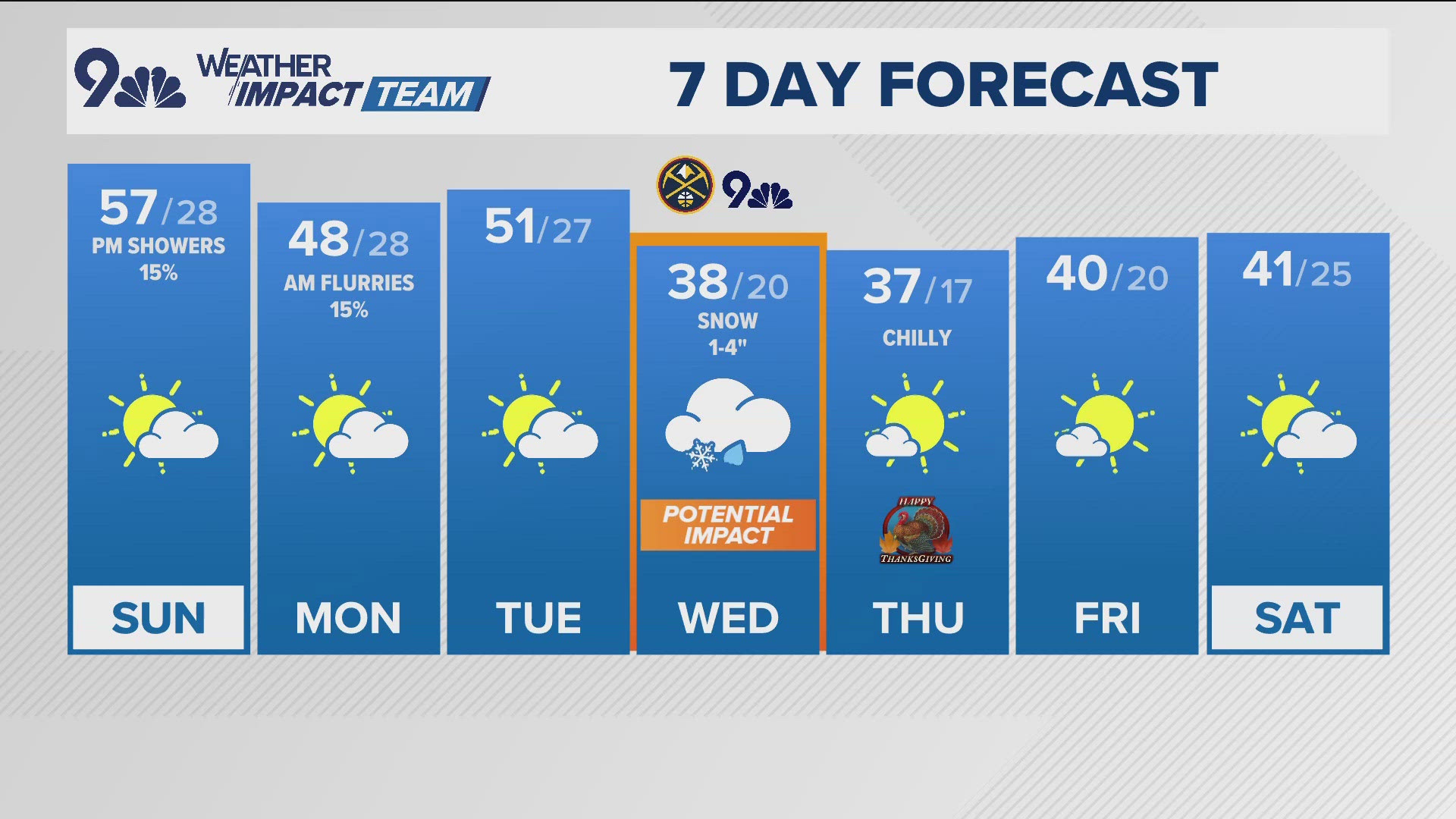
DENVER — The winter storm we’ve been watching is still on-track to hit metro Denver on Sunday and Monday.
Computer models (below) now show the trough of cold air moving into prime position just a little later. The mountains still get the snow starting Friday night, but the best chance for snow in the Denver area is now after noon on Monday, as opposed to Monday morning.

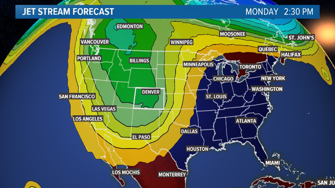
It also looks like some of the moisture could linger into Tuesday morning, where it will meet up with some very cold air. That could mean a few flakes then too.
The first thing I notice on the GFS snow accumulation map (below) for Friday through Tuesday is another reduction in snow. This is a trend that continues to be displayed by the models, but there is more agreement and consistency now.

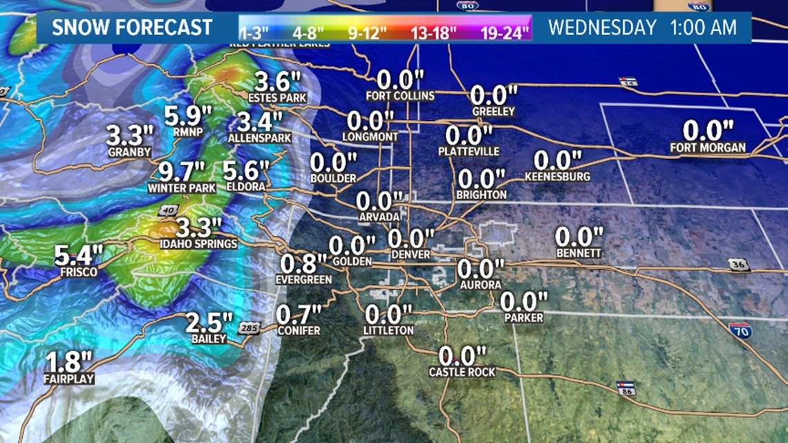
This means we still have a chance to see some snow falling in the metro Monday, maybe even during the Rockies game, but the chance of accumulation is still very low.
The GFS shows no snow accumulation in the metro again. That is several runs in a row with no accumulation, so my confidence is building for there being some snowfall, but no accumulation.
The European model (below) is now coming in-line a bit with the GFS. It now shows no snow accumulation in Tuesday’s 12z computer run. It has been going back and forth a little still, but certainly more stable lately.

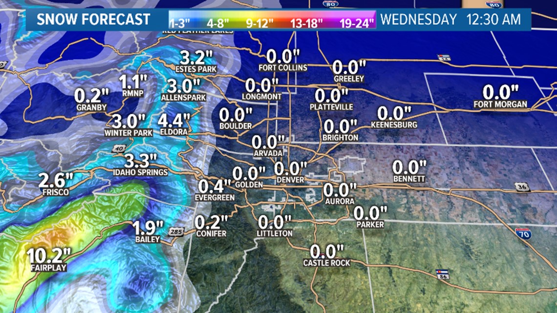
It too has been trending down on overall snow numbers for the foothills. This shows a reduction in moisture and a rise in temperatures.
Let's recap:
- Snowfall timing is a little later.
- Still a chance of some flakes.
- Still a low chance for getting that first official snow accumulation in Denver.
- Tuesday morning has emerged as a chance for snow if the moisture sticks around (although probability is low then for that first measurable snow).


