LYONS, Colo. — This week marks 10 years since destructive and deadly floods swept through the Front Range of Colorado. Nine Coloradans lost their lives in the floods.
We look back at the timeline of meteorological events that caused the floods.
Monday, Sept. 9 and Tuesday, Sept. 10
A slow-moving low pressure system develops southwest of Colorado while dense moisture moves north across Colorado. Thunderstorms and scattered storms develop in the afternoon and early evening hours with isolated areas of heavy rainfall.
Wednesday, Sept. 11
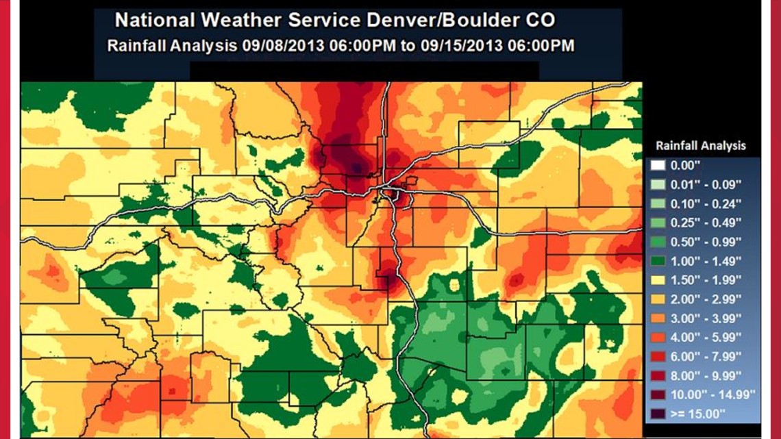
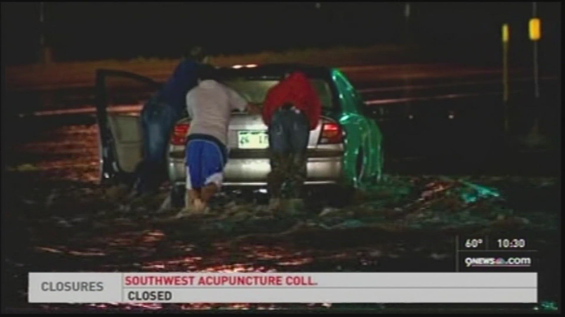
The low front moves north into Colorado and stalls, interacting with record amounts of moisture that have built up. In the late afternoon, showers and thunderstorms develop along the Front Range and continue into the early evening. Heavy rains fall in the Denver metro and in the foothills with flash flooding beginning in the evening.


Thursday, Sept. 12
The rain storms decrease in the morning, but then redevelop and intensify by late afternoon and into the evening. The rains from the previous days had saturated the ground, which leads to historic flooding across the foothills and parts of the Denver metro area. Boulder Creek in Boulder registered its peak flow for the flood event at 9 p.m. at 7.78 feet.
Friday, Sept. 13 and Saturday, Sept. 14
The low-pressure system finally begins to move. Scattered showers and thunderstorms happen each day, with most of the rains falling east of the foothills.
Streams and rivers that registered well above flood stage and historic flood levels included:
- Big Thompson River
- Little Thompson River
- Cache La Poudre River
- Lefthand Creek
- St. Vrain Creek
- South Boulder Creek
- Coal Creek
- Sand Creek
- Fountain Creek
- South Platte River at Kersey, Balzac, Weldona and Julesburg
> The National Weather Service in Boulder provided a detailed meteorological analysis of the floods.
SUGGESTED VIDEOS: 2013 Colorado floods: 10 years later

