
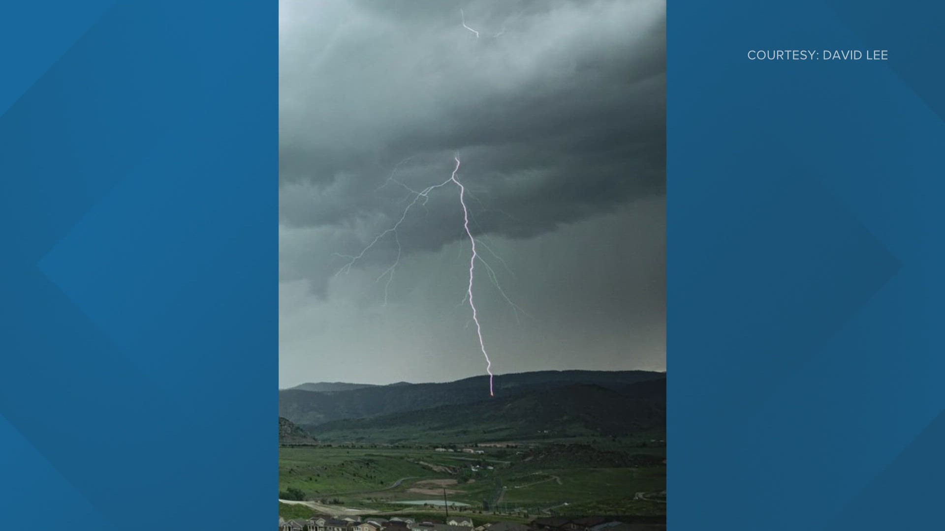
DENVER — Severe storms carrying hail, heavy rain and a lot of lightning moved through much of the Front Range on Friday afternoon.
The metro area, Interstate 25 corridor and parts of eastern Colorado were under a Severe Thunderstorm Watch for most of the afternoon and evening as the storms rolled through.
A couple of brief landspout tornados were spotted along the Eastern plains in Washington County, but no damage has been reported at this point.
Large hail was reported in much of the northern part of the metro area:
- Longmont - 1.25" hail reported
- Northwest Denver - 1.25" hail reported
- Westminster - 1" hail reported
- Federal Heights - 1" hail reported
- Greeley - 1" hail reported
- Broomfield - 0.88" hail reported
- Wheat Ridge - 0.75" hail reported
- Arvada - 0.75" hail reported
The storms also created long delays at Denver International Airport. FlightAware showed at total of 803 delays and 99 cancellations through the day on Friday.
This pattern isn't going away anytime soon. Looking ahead to the weekend and into next week, there are chances for late storms each afternoon and evening as temperatures remain at, or slightly above, normal for this time of year.
>> Live interactive radar:
More weather coverage from 9NEWS:
SUGGESTED VIDEOS: Severe Weather
What is Severe Weather?
According to the National Weather Service, there are five specific types of weather that can qualify as "severe." They are tornadoes, floods, lightning, hail and wind.
RELATED: What is severe weather?
A thunderstorm is considered severe when winds reach at least 58 mph and/or contains hail at least 1" in diameter. When these conditions are met, the NWS will issue a severe thunderstorm warning.
RELATED: How is hail formed?
Lightning and heavy rain are not included, but often accompany severe thunderstorms.
The National Weather Service will issue a flash flood warning when the flooding is already occurring or imminent. A flash flood watch means that conditions are favorable for a flash flood and those in the area should keep a close watch.
A tornado watch is issued by the NWS when they determine that weather conditions are favorable for the formation of tornadoes. They usually last for a long time, cover a large area and begin well before any tornadoes or other severe weather begin.
A tornado warning is issued if a tornado is indicated by radar or reported by weather spotters. They are generally for a much smaller area and only last for about 30 minutes. If a tornado warning is issued in your area, you should seek shelter immediately.
RELATED: What to do in a tornado warning