DENVER — Normally, May and June are Colorado's prime months for severe weather.
So far this May and June, though, we've had hardly any stronger storms.
Based on a number of different metrics, severe weather and tornado watches and warnings are way down both in Colorado and in the immediate Denver area.
Thanks to bigger storm systems mostly straying north of Colorado much of this spring and cooler weather in place when they do impact the region, severe weather numbers are way down compared to normal so far in 2022.
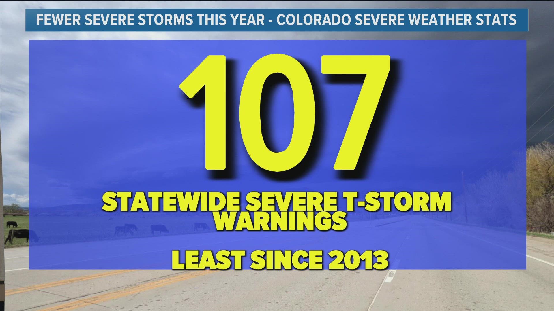
Statewide, Colorado's only seen 107 severe thunderstorm warnings since Jan. 1 (through Monday), the lowest year-to-date count since 2013.
We've also only seen 11 tornado warnings statewide in Colorado through Monday, making it the third-lowest tally of tornado warnings since 1994.
Colorado's only seen one tornado so far this year. The state averages about 50 tornado touchdowns a year, with a large chunk of those coming in May and June.


Tuesday marked the first severe thunderstorm watch in Denver in nearly two years (though the city was under two separate tornado watches in 2021), as the immediate Denver area has hardly seen a storm so far this spring.
After Tuesday, there's not much in the way of severe weather in the near-term forecast, with a dry, warm forecast expected to start on Wednesday and hold through the upcoming weekend. That said, a few stronger storms could develop in southern and eastern Colorado on both Tuesday and Wednesday.
SUGGESTED VIDEOS: Colorado Climate

