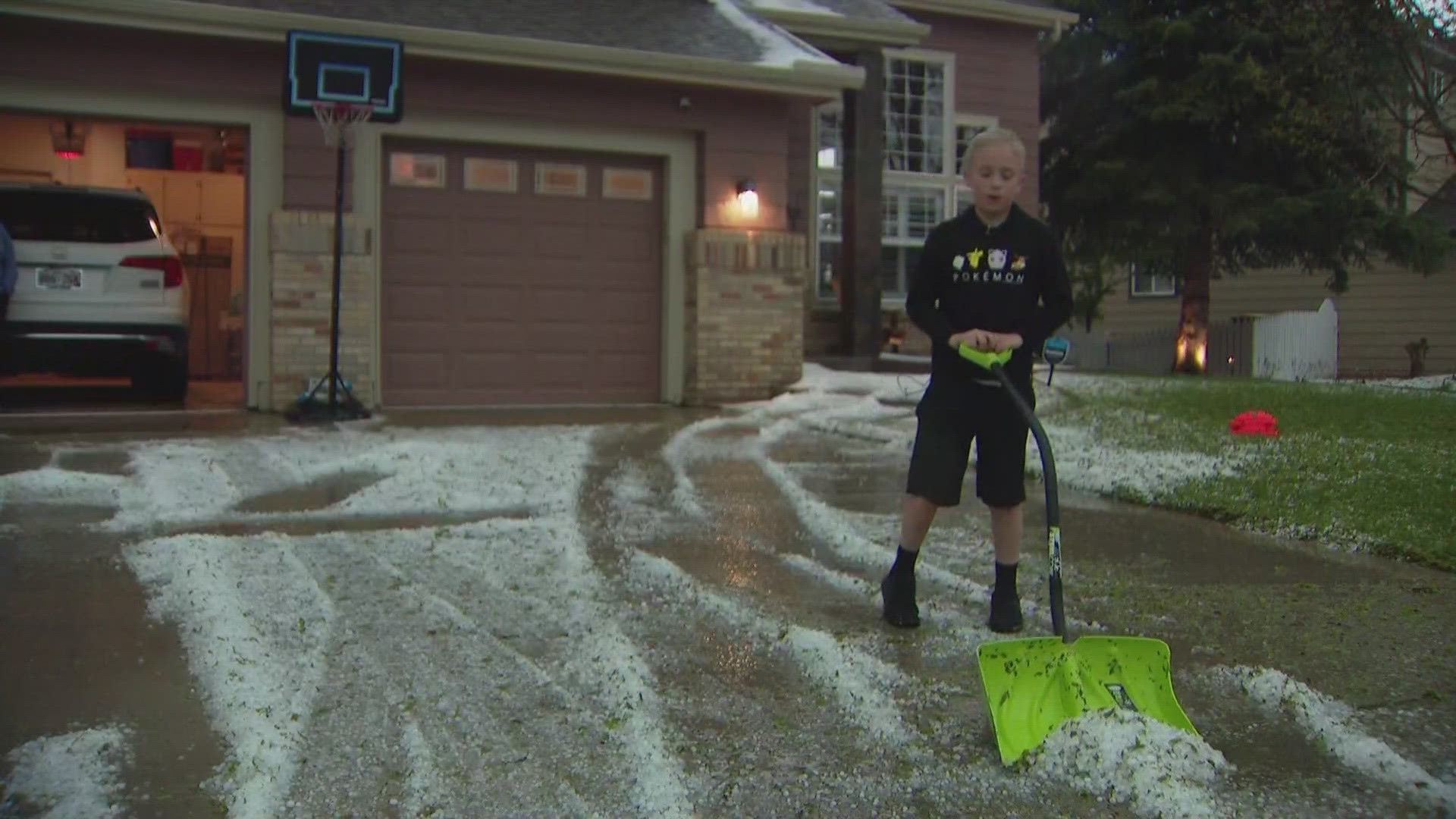
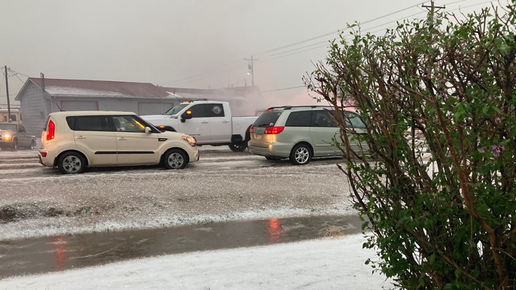
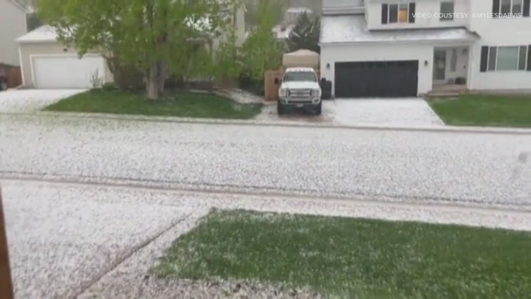
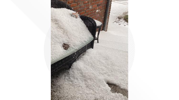
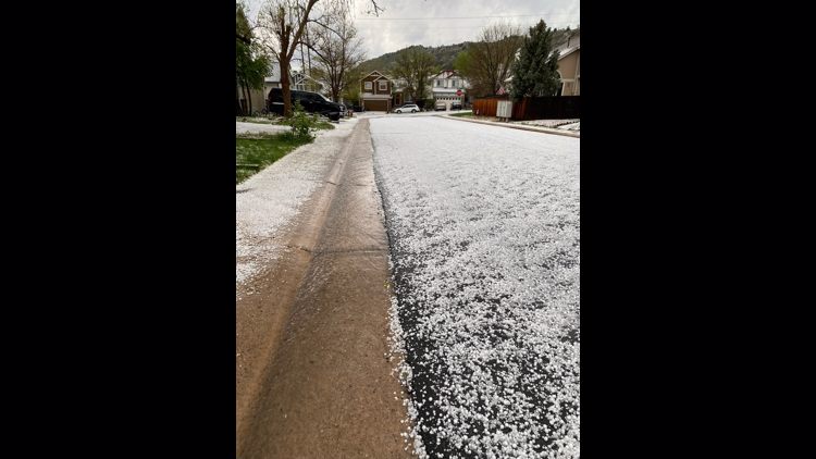
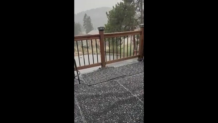
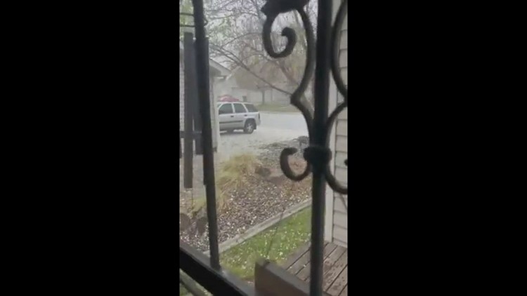
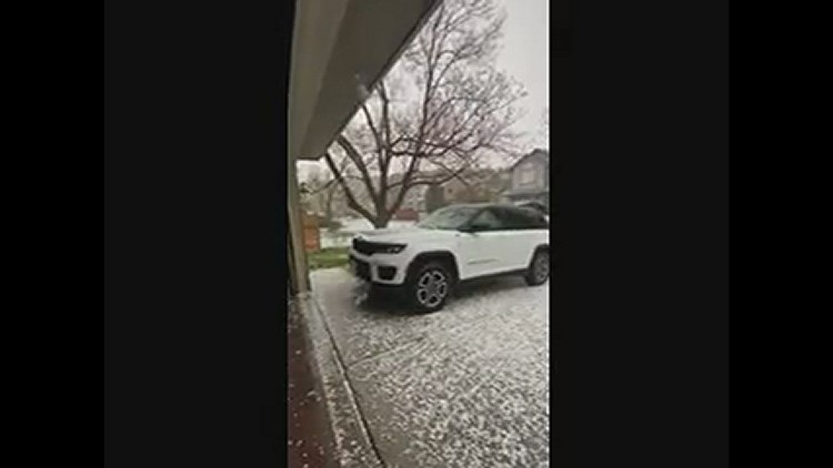
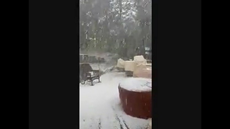
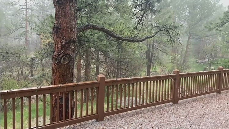
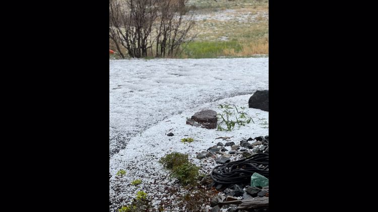
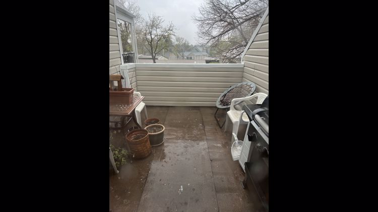
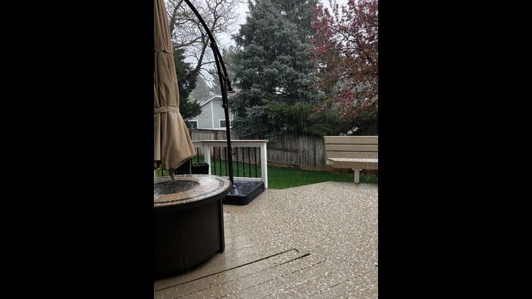
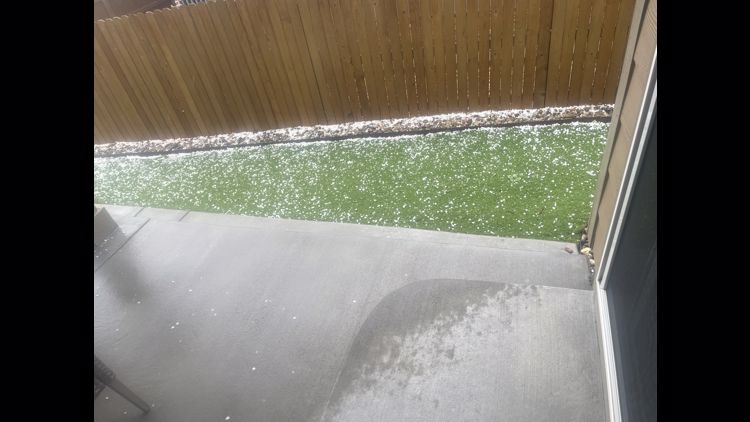
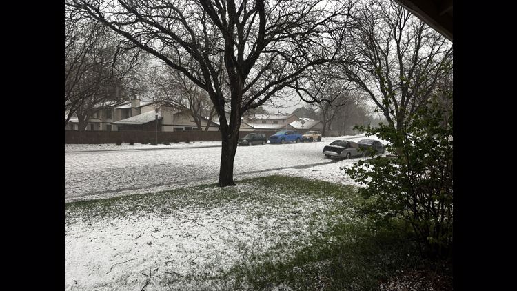
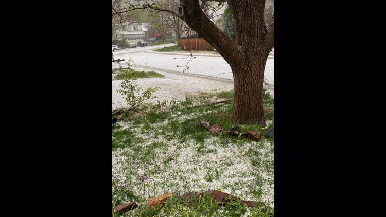
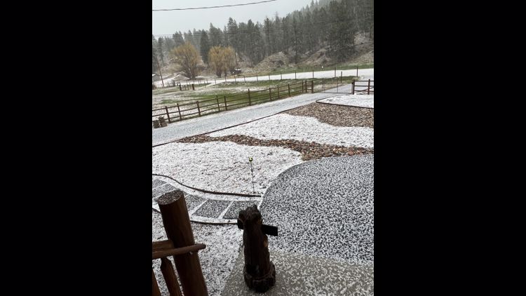
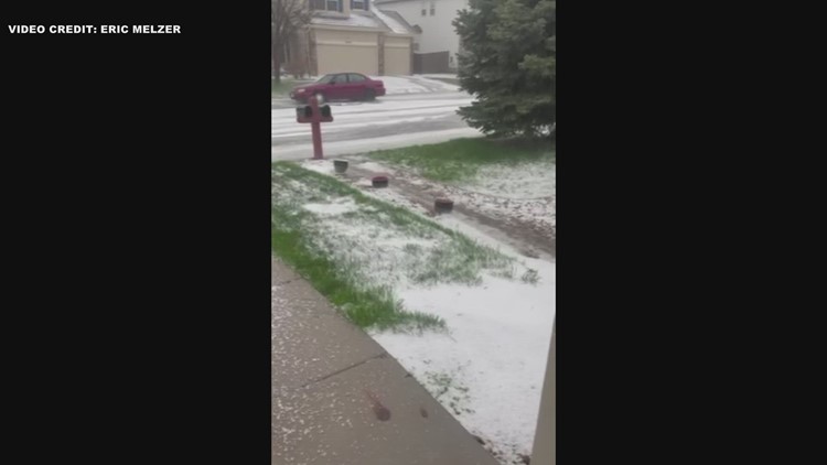
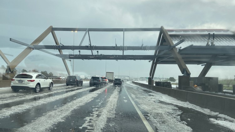
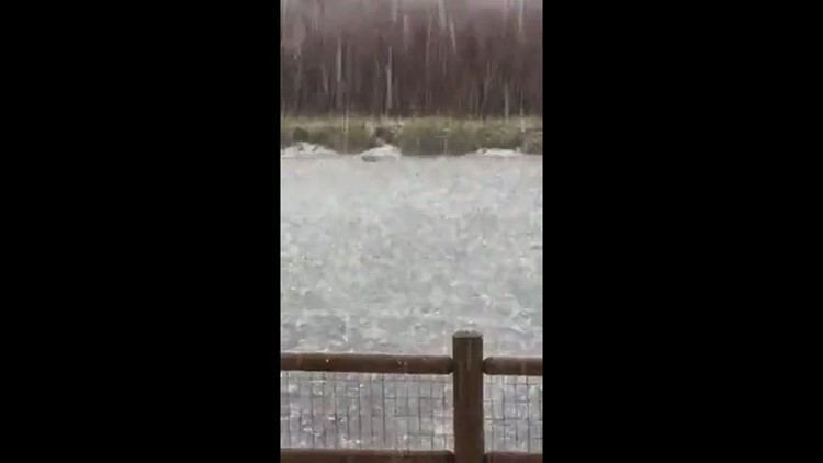
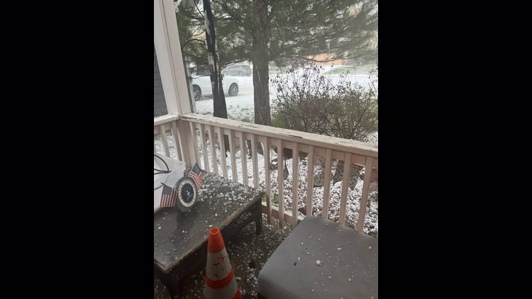
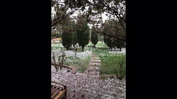
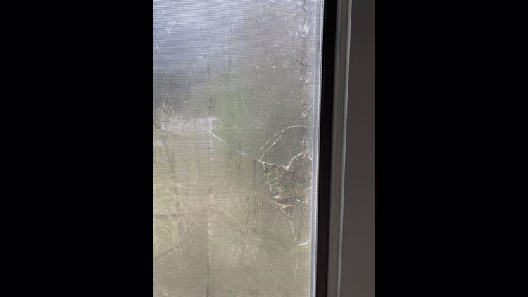
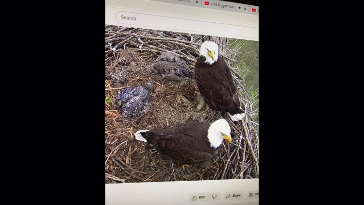
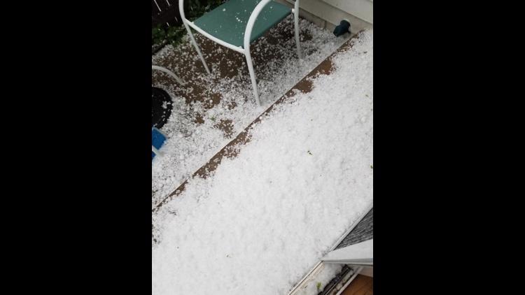
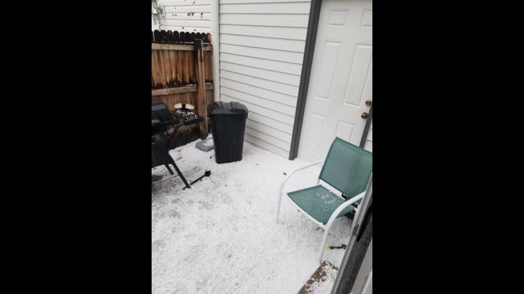
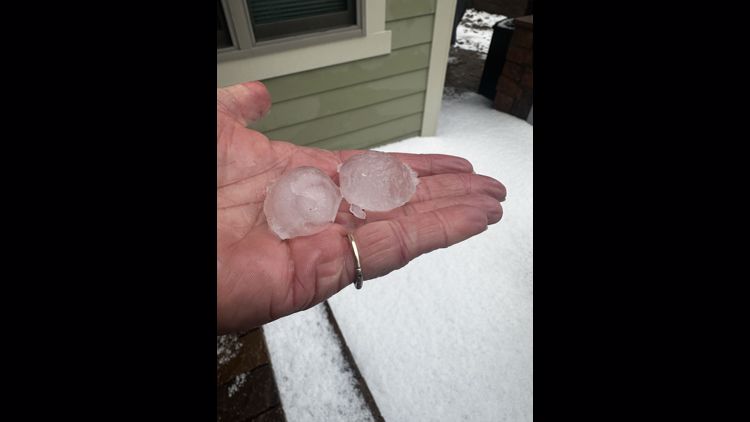
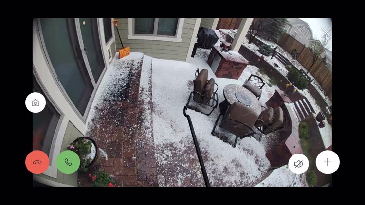
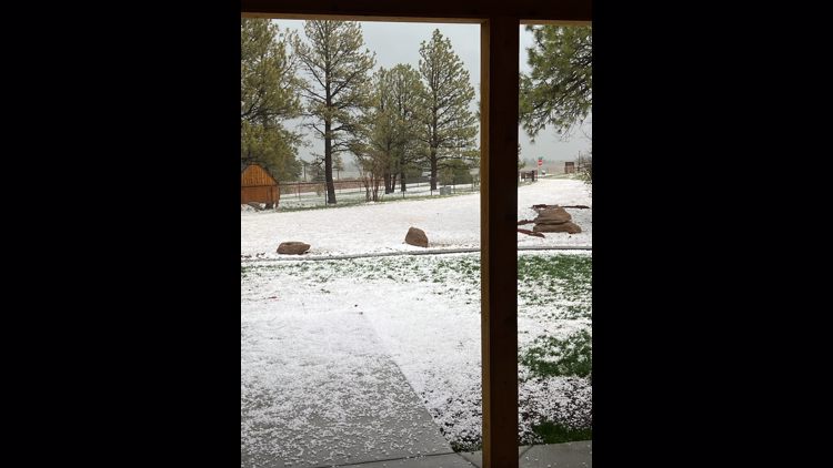
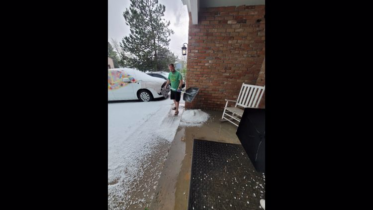
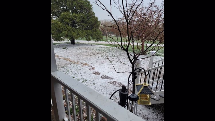
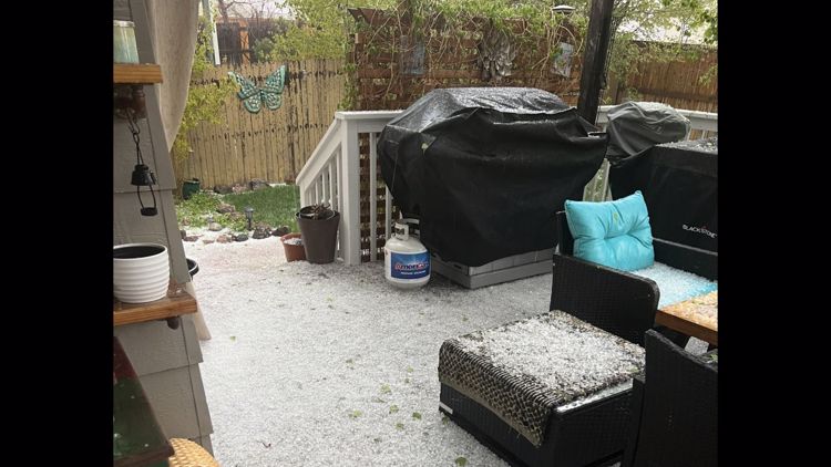
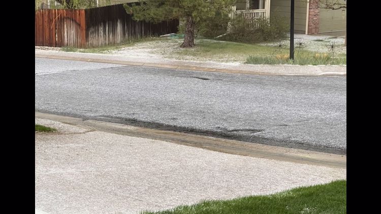
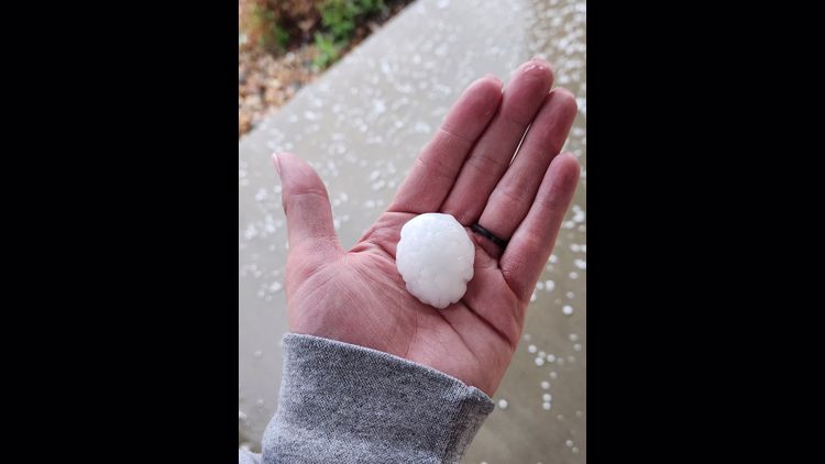
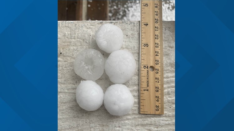
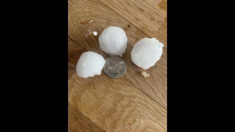
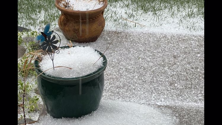
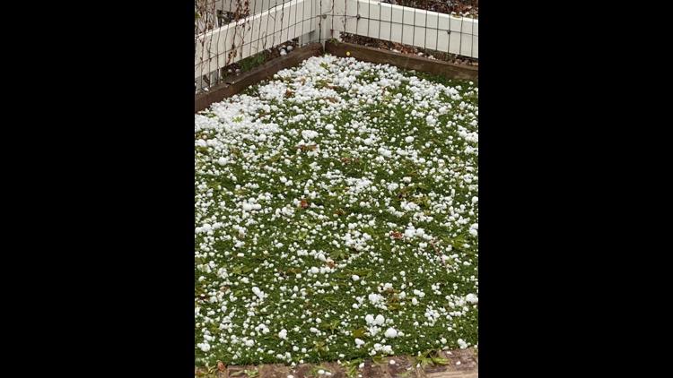
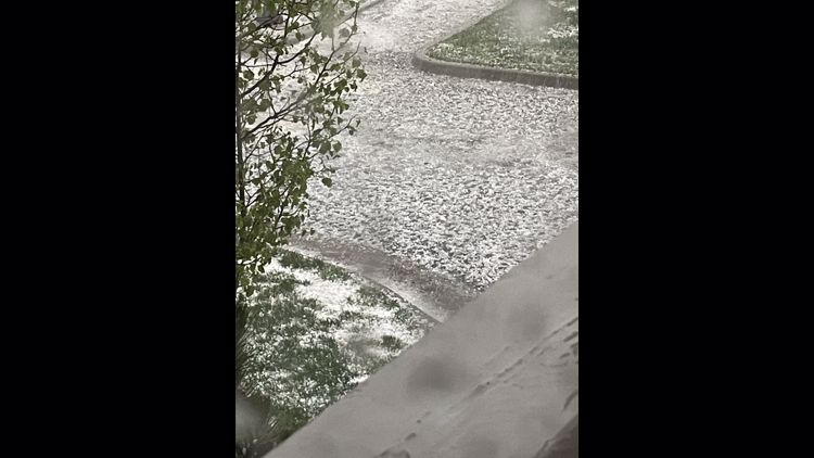
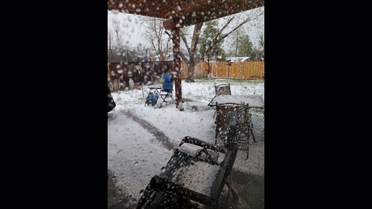
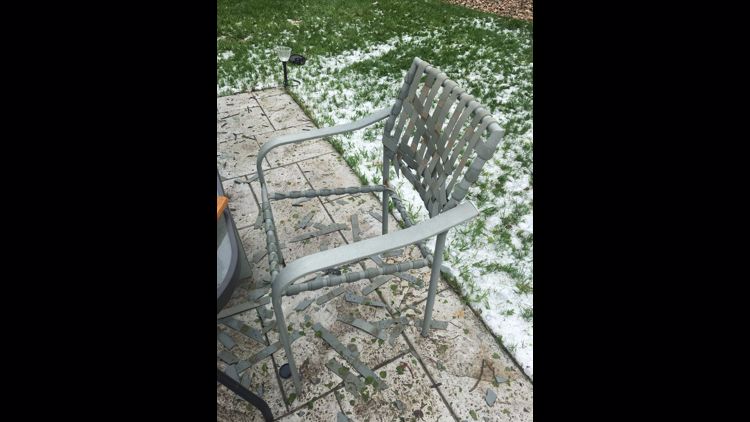
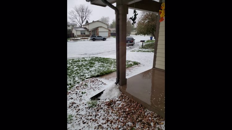
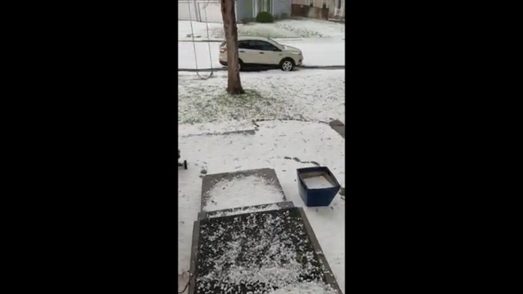
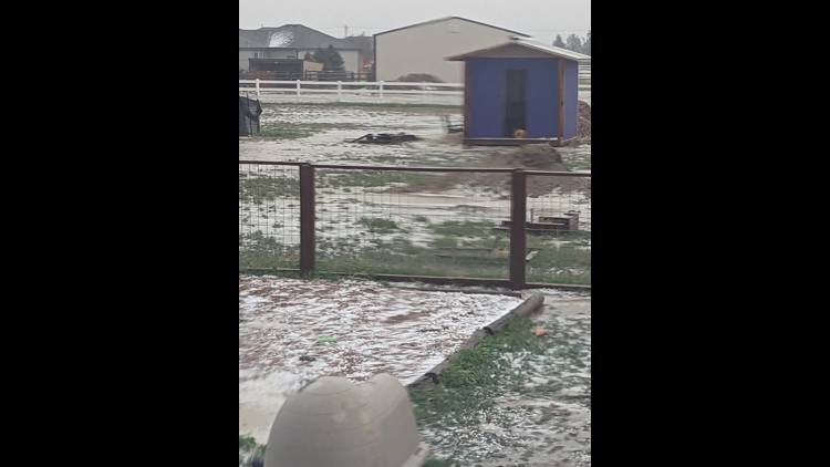
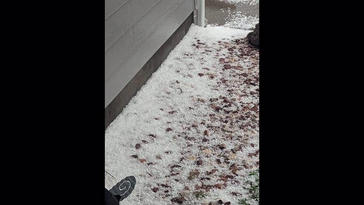
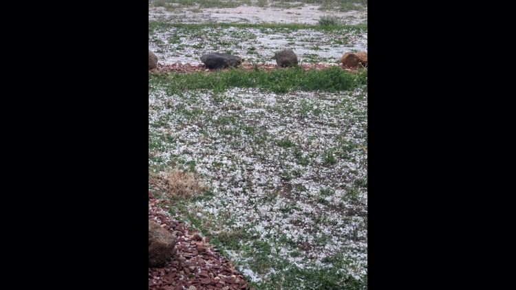
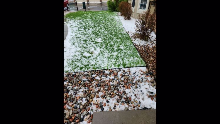
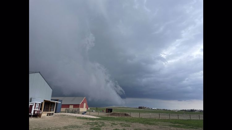
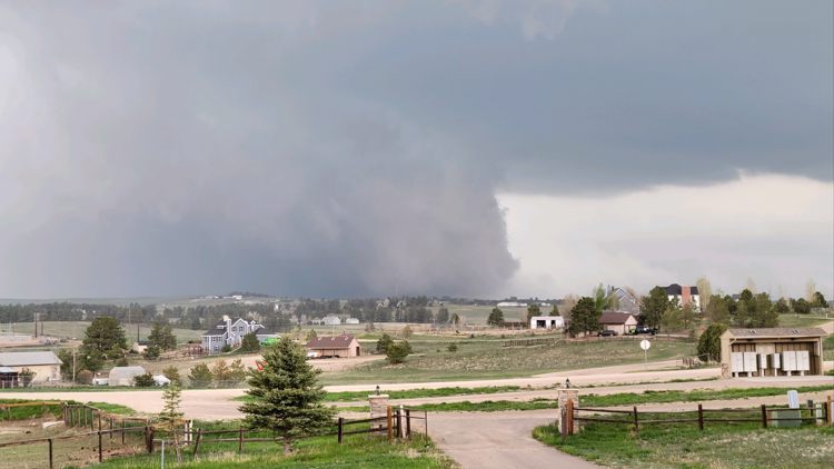
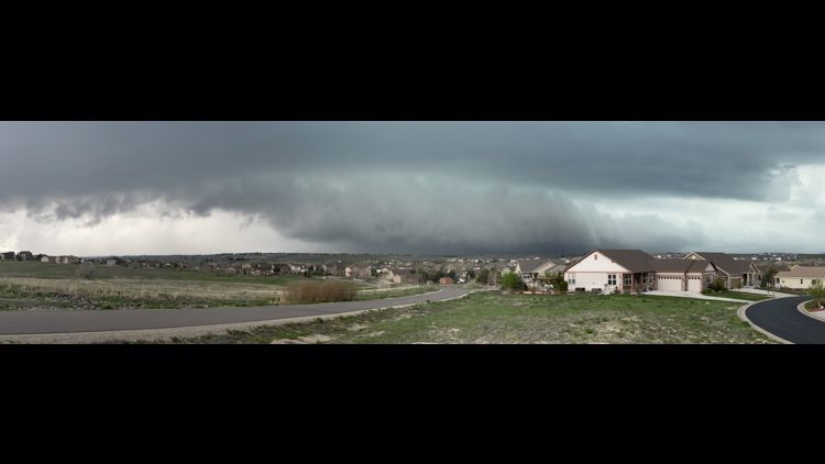
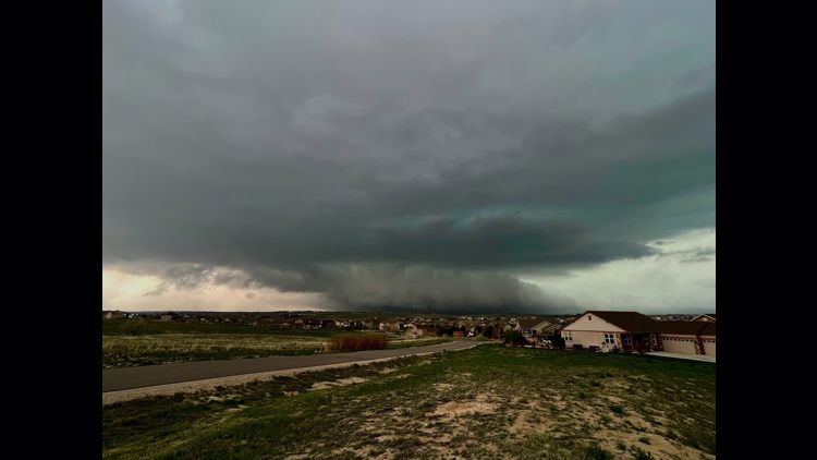
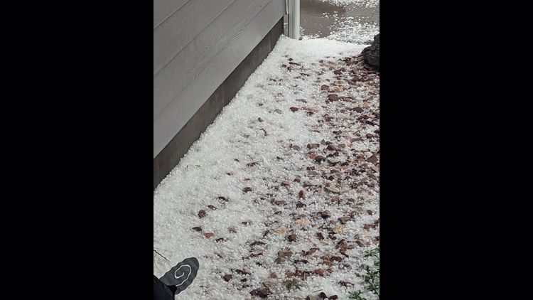
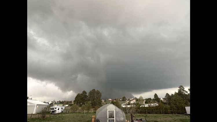
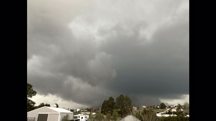
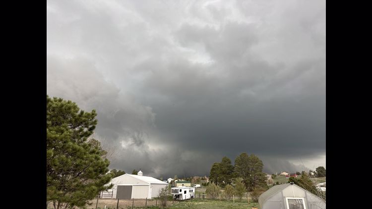
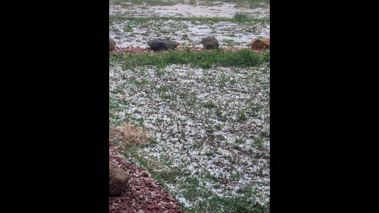
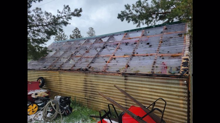
COLORADO, USA — Parts of Colorado are clearing hail with snow shovels after severe thunderstorms brought large hail, heavy rains, gusty winds and tornadoes to the Denver area and eastern plains.
The severe weather began Tuesday night and continued into Thursday for the Denver metro area, Front Range and plains.
A Winter Storm Warning also runs through Friday in Colorado's mountains with up to 16 inches of heavy snow accumulations possible.
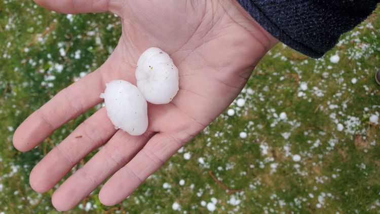
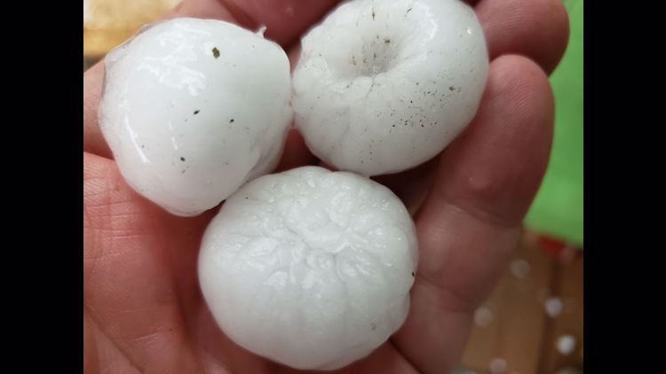
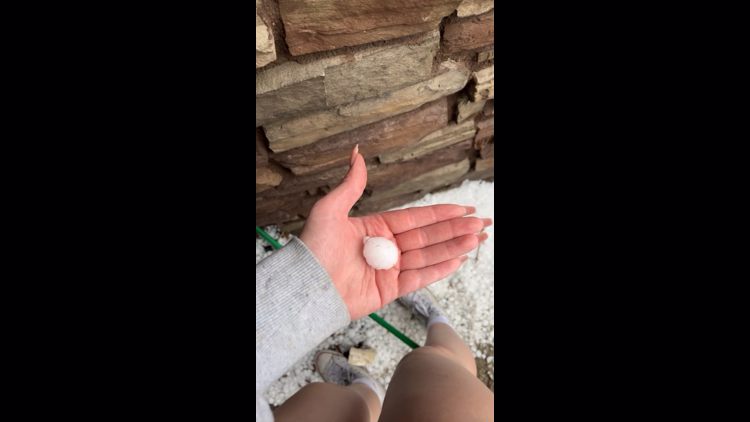
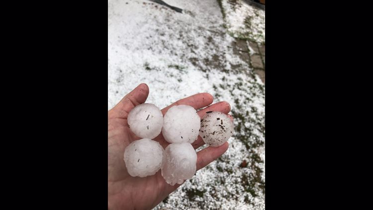
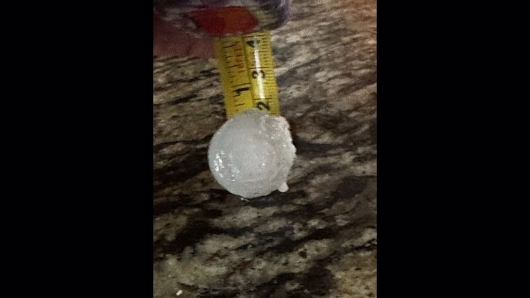
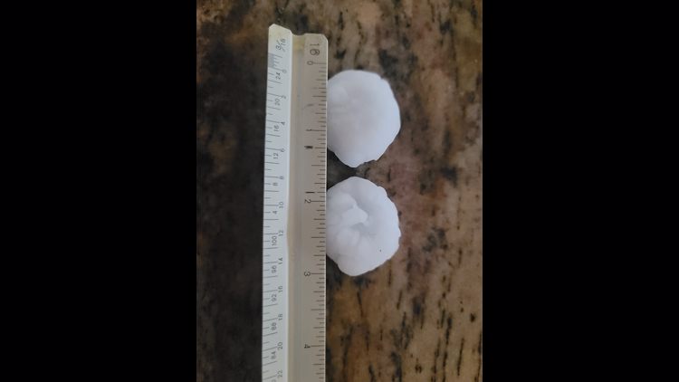
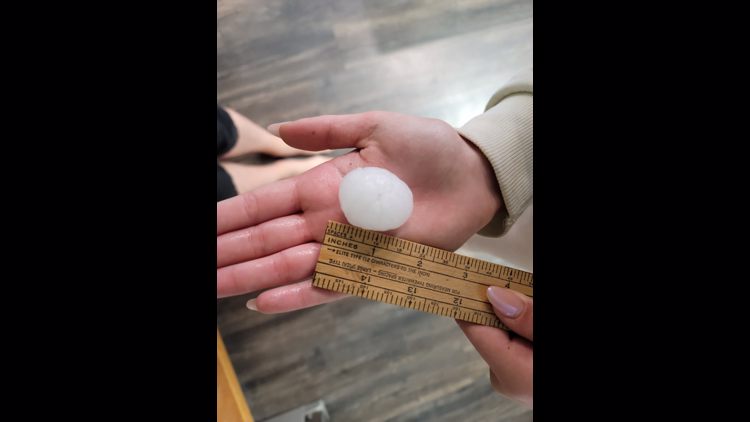
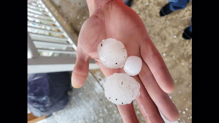
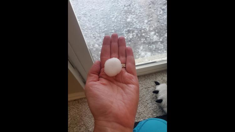
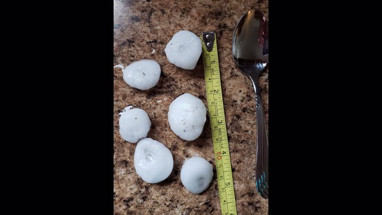
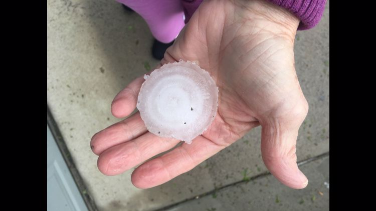
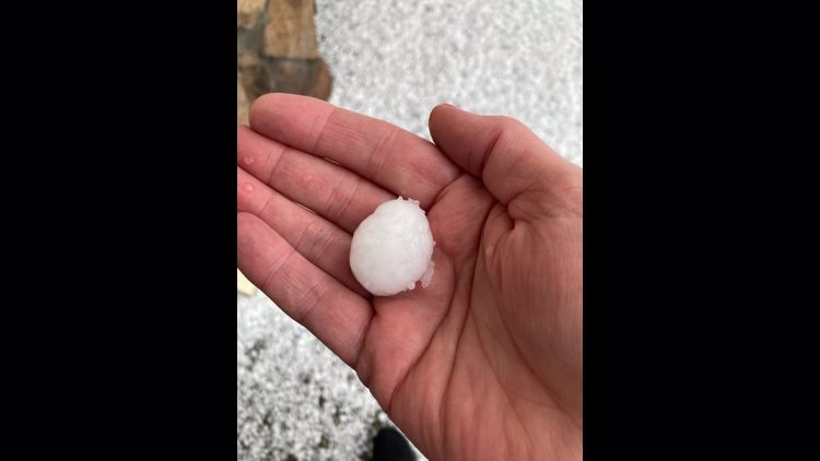
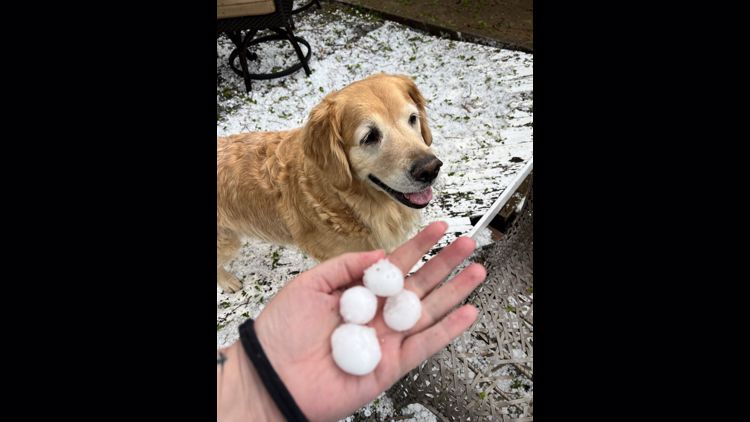
Weather reports in Colorado this week have noted hail the size of a grapefruit (4 inches) in Woodland Park, Gary, Westcliffe and Rosita.
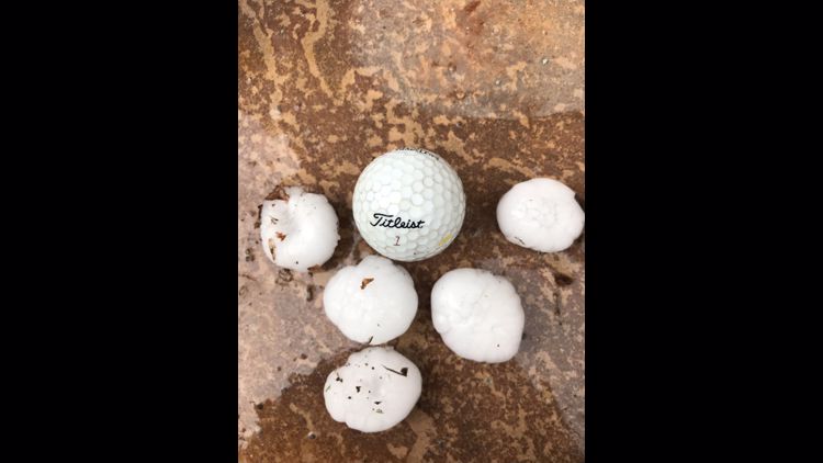
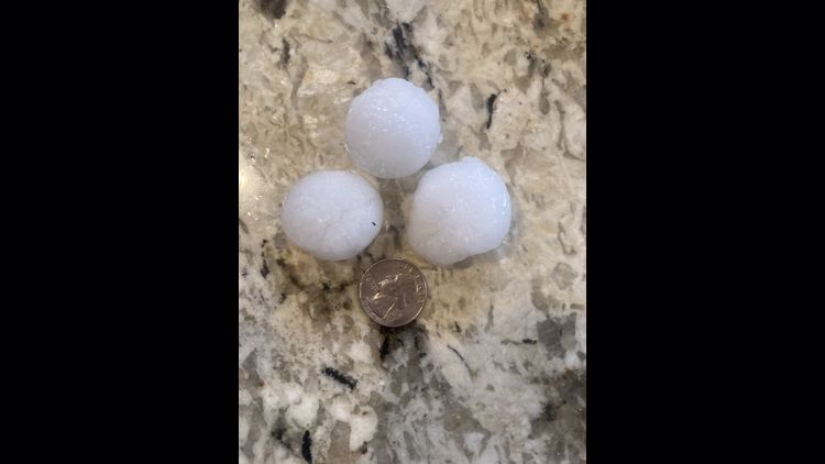
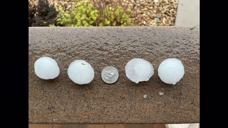
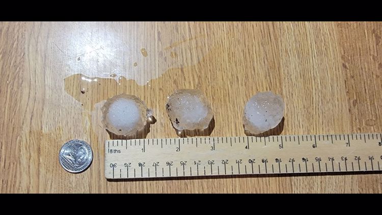
Other reports have noted hail the size of a tea cup, baseball, tennis ball, hen egg, golf ball, pingpong ball, half dollar, quarter, nickel, dime and penny.
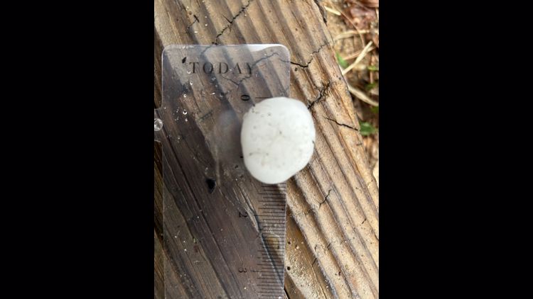
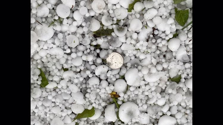
Those aren't made up designations, they're guidance from the National Weather Service (NWS) on the best way to report hail size.
Hail size measurements
According to the NWS, some good size comparisons are:
- Softball: 4.5 inches
- Grapefruit: 4 inches
- Tea cup: 3 inches
- Baseball: 2.75 inches
- Tennis ball: 2.5 inches
- Hen egg: 2 inches
- Golf ball: 1.75 inches
- Pingpong ball: 1.5 inches
- Half dollar: 1.25 inches
- Quarter: 1 inch
- Nickel: 0.88 inches
- Dime/penny: 0.75 inches
Related Articles
YOUR PHOTOS: Hail hammers Denver area, eastern plains
Colorado hail reports
Here are some reports of hail size this week in Colorado, according to the National Weather Service:
- Gary - 4 inch
- Woodland Park - 4 inch
- Westcliffe - 4 inch
- Rosita - 4 inch
- Akron - 3 inch
- Woodrow - 3 inch
- Midway - 2.75 inch
- Wray - 2.75 inch
- Strasburg - 2.75 inch
- Snyder - 2.5 inch
- Hoyt - 2.5 inch
- Adena - 2.5 inch
- Strasburg - 2.5 inch
- NW Colorado Springs - 2.36 inch
- Black Forest - 2.22 inch
- Hillrose - 2 inch
- Longmont - 2 inch
- Erie - 2 inch
- Frederick - 2 inch
- Foxfield - 1.75 inch
- Castlewood Canyon - 1.25 inch
- Deer Trail - 1.25 inch
- Buckley Space Force Base - 1.25 inch
- SE Aurora - 1.25 inch
- Firestone - 1.25 inch
- Kersey - 1 inch
- Laird - 1 inch
- Foxfield - 1 inch
- Elizabeth - 1 inch
- Cherry Creek Reservoir - 1 inch
- Thornton - 1 inch
- Pueblo West - 1 inch
- Niwot - 1 inch
- Hygiene - 1 inch
- Brighton - 1 inch
- Cripple Creek - 1 inch
- Commerce City - 1 inch
- Lone Tree - 0.88 inch
- Centennial - 0.75 inch
- Greenland - 0.75 inch
- Louviers - 0.75 inch
- Parker - 0.75 inch
- Henderson - 0.75 inch
- Cheyenne Wells - 0.25 inch
In eastern Colorado, Strasburg saw so much hail they had to bring out the snowplows.
Dozens of flights were canceled and hundreds more delayed Wednesday and Thursday at Denver International Airport due to the severe weather storms.
A tornado was spotted in the Morgan County area of eastern Colorado just before 6 p.m. Wednesday. Tornado warnings were also issued for suburban counties west, south and east of Denver Wednesday afternoon.
The storms are forecasted to continue Thursday and Friday on Colorado's plains with another round of severe storm potential, especially in areas that border Nebraska and Kansas.
There will be one last surge of heavy rainfall overnight in Denver from Thursday into Friday before this system finally pushes eastward, leaving Colorado with more isolated showers during the day on Friday under mostly cloudy skies.
Related Articles
SUGGESTED VIDEOS: Severe Weather
9NEWS+
9NEWS+ has multiple live daily shows including 9NEWS Mornings, Next with Kyle Clark and 9NEWS+ Daily, an original streaming program. 9NEWS+ is where you can watch live breaking news, weather updates, and press conferences. You can also replay recent newscasts and find videos on demand of our top stories, local politics, investigations and Colorado specific features.
To download 9NEWS+ on Roku search for KUSA.
To download 9NEWS+ on Fire TV search for 9NEWS.

