DENVER — The weather is constantly getting measured. Every second, data comes in from satellites, radars, weather stations, airplanes, weather balloons and ocean buoys.
The National Oceanic and Atmospheric Administration (NOAA) is charged with organizing all that data into something useful to meteorologists. What that boils down to is basically a bunch of numbers. Even physical weather forecast models are numerical at their core.
That works fine, but maybe there’s a better way to look at it.
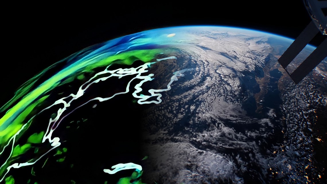
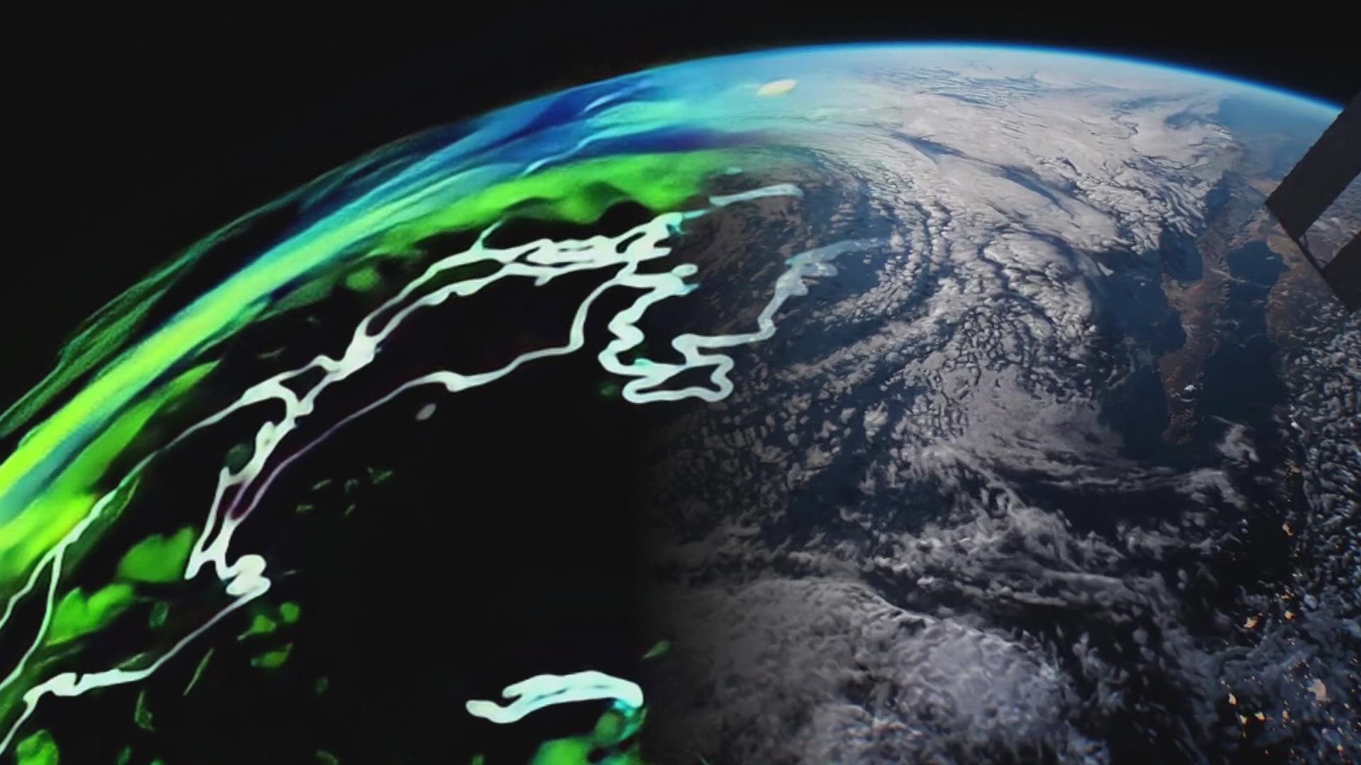
NOAA’s latest idea is to make that data look more like the way people see weather, in a 3D visual. They’ve asked Colorado based aerospace company Lockheed Martin to help make it a reality.
“It’s going to be kind of a Google Earth looking product, but it’s going to have all of these observations coming in at almost a real-time basis,” said Lockheed Martin research scientist Lynn Montgomery. "Our goal is to kind of fuse all the data into one measurement that represents the weather we see."


She said it will be called the NOAA Earth Observing Digital Twin. It's not a forecast model but a twin of the atmospheric on a digital environment. Eventually, the data will be able to be fed into a weather forecast model, she said.
The only way to collect, integrate and fuse that amount of data is through advanced artificial intelligence algorithms, and that has become a specialty of Lockheed Martin scientists, Montgomery said.
Another reason Lockheed Martin was selected for this challenge was their working relationship with the computing company Nvidia, she said.
Once the data has been fused by the AI, it will be transferred into a computing format called Universal Scene Description (USD). It's the same framework that the filmmaker Pixar uses to transform concepts into stunning 3D visuals.
“But then the fourth dimension is going to be time," said Montgomery in describing NOAA's digital twin. "So, we are going to have this two-week moving time window where you’re able to look back into the past and see those current observations move across the entire globe.”
Besides giving meteorologists a unique view of Earth's atmosphere, and eventually becoming an input for a weather forecast model, the AI will also be able to recognize patterns in the data and flag anomalies.
The process of completing the digital twin will take more than a year, but scientists have already started inputting the first wave of of sea-surface observations from weather satellites. Montgomery said the hope is to have a prototype to show off by this fall.
“If you have a current state of the world, then with all of these data sources coming in, then you’ll be able to better predict what’s going to happen in the future," she said.
SUGGESTED VIDEOS: Colorado Climate

